Zenadh Kes
Torres Strait
From above, the Torres Strait reads as a barrier — roughly 150 kilometres of water between two lands. It is really the record of a people who kept adapting to a rising sea in order to stay connected across it. And the sea is rising again.
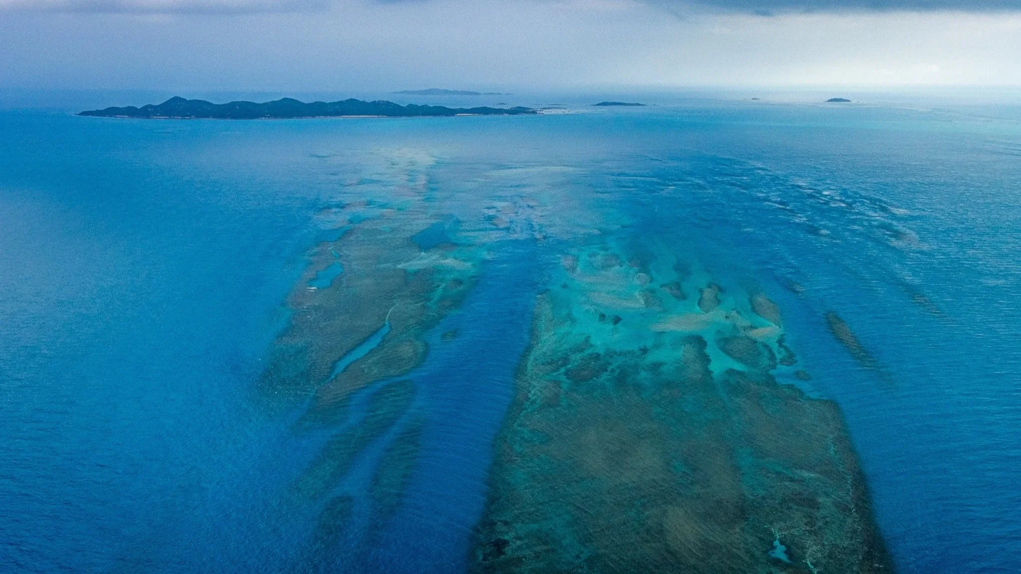
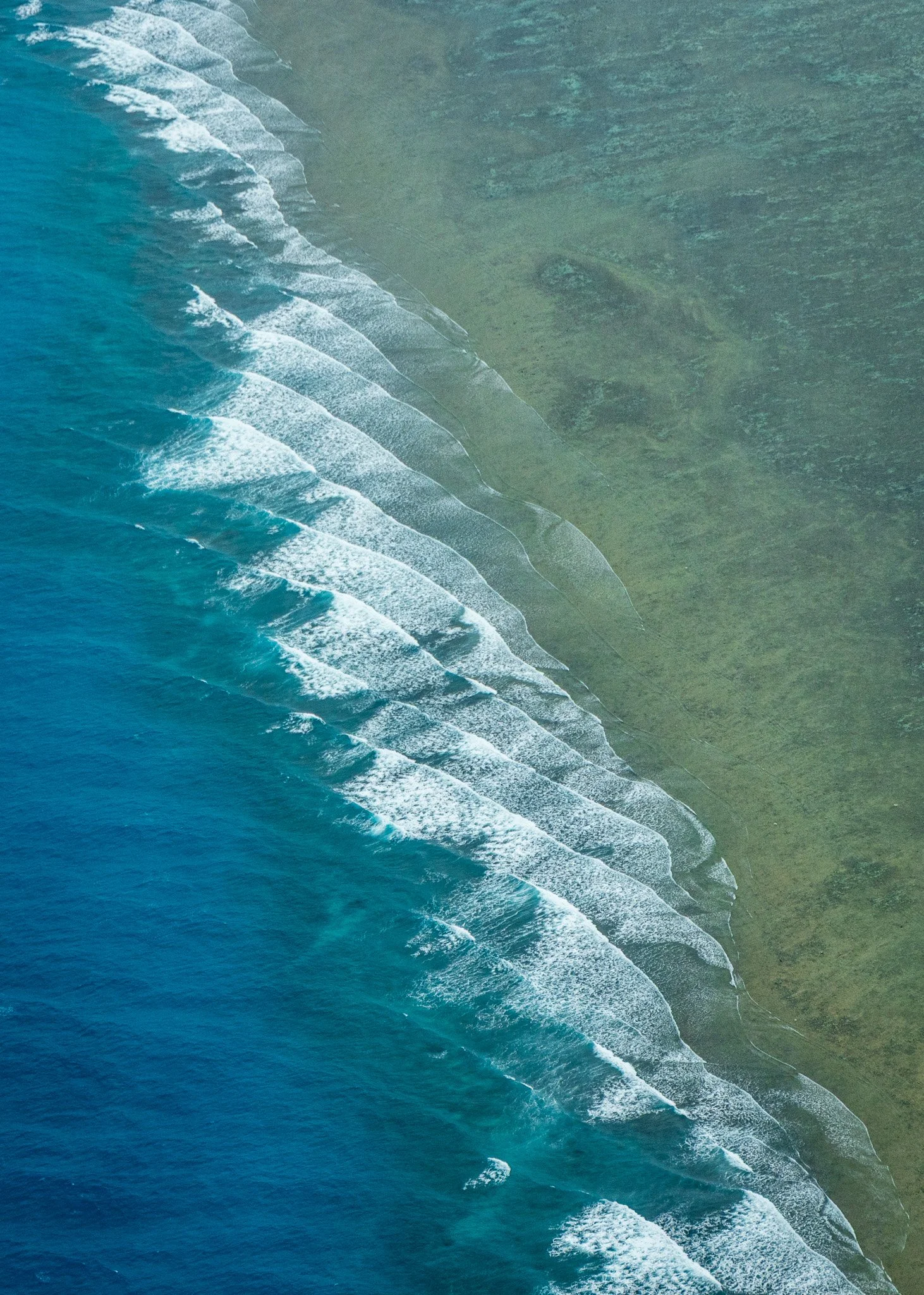
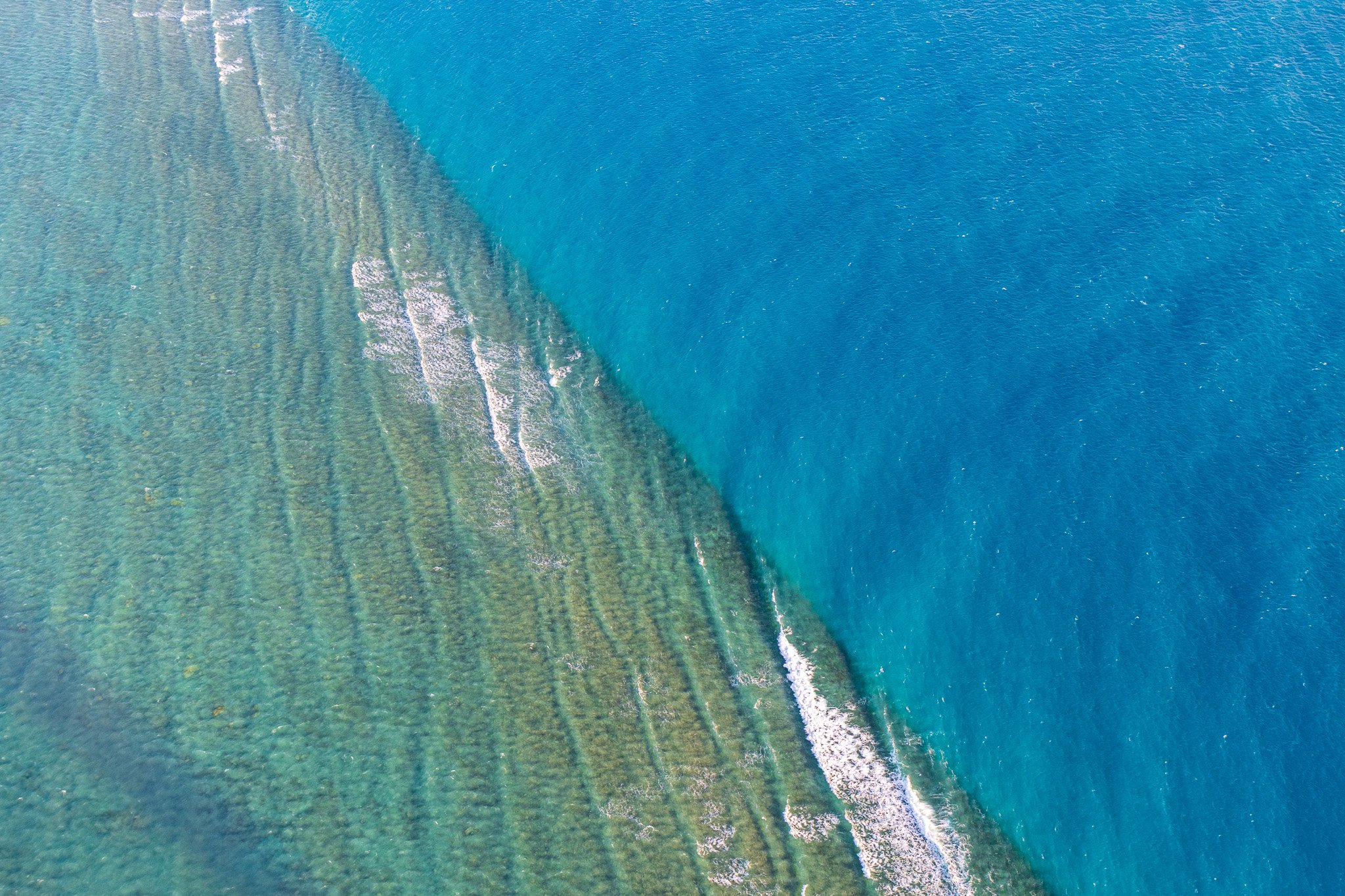
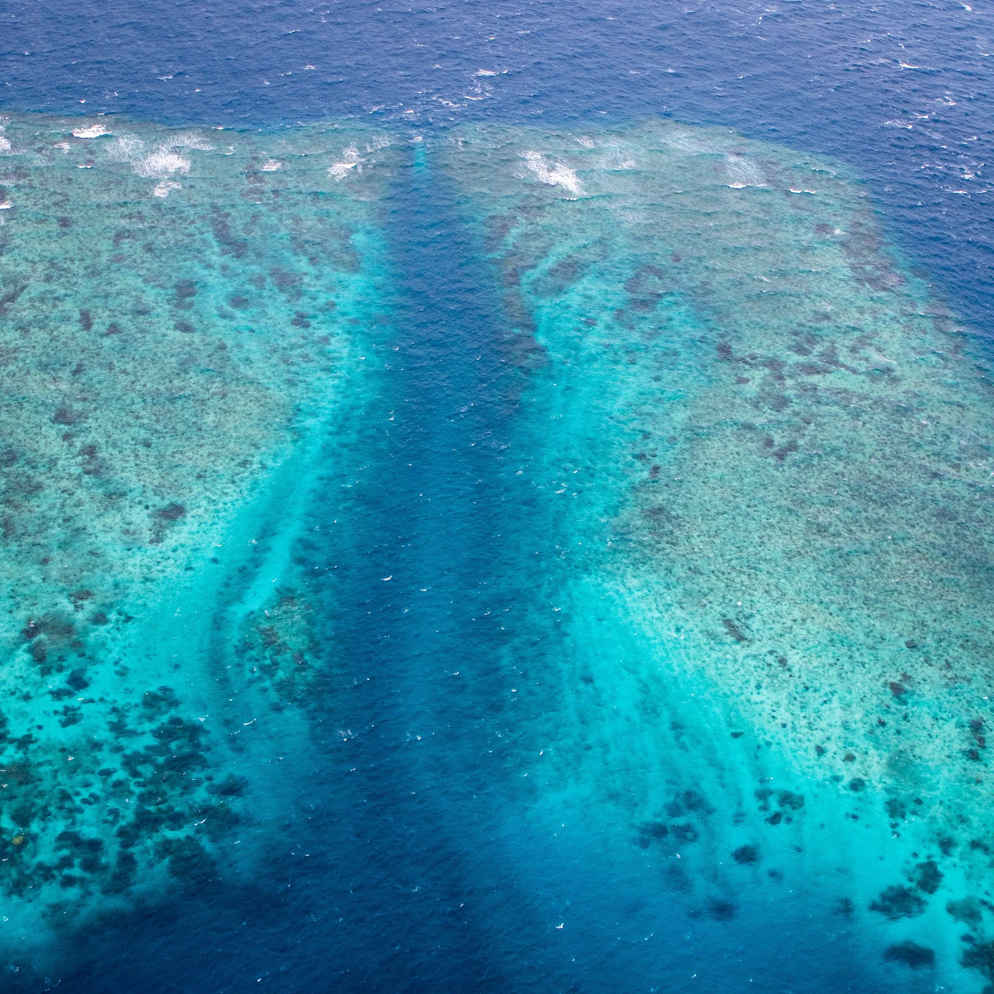
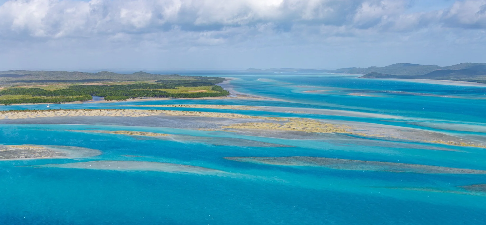
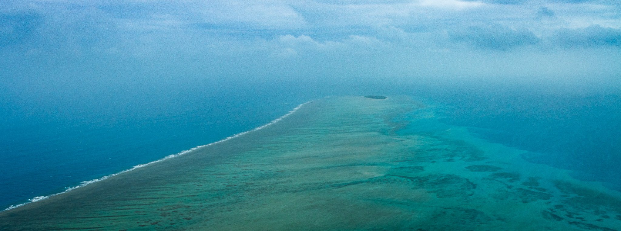
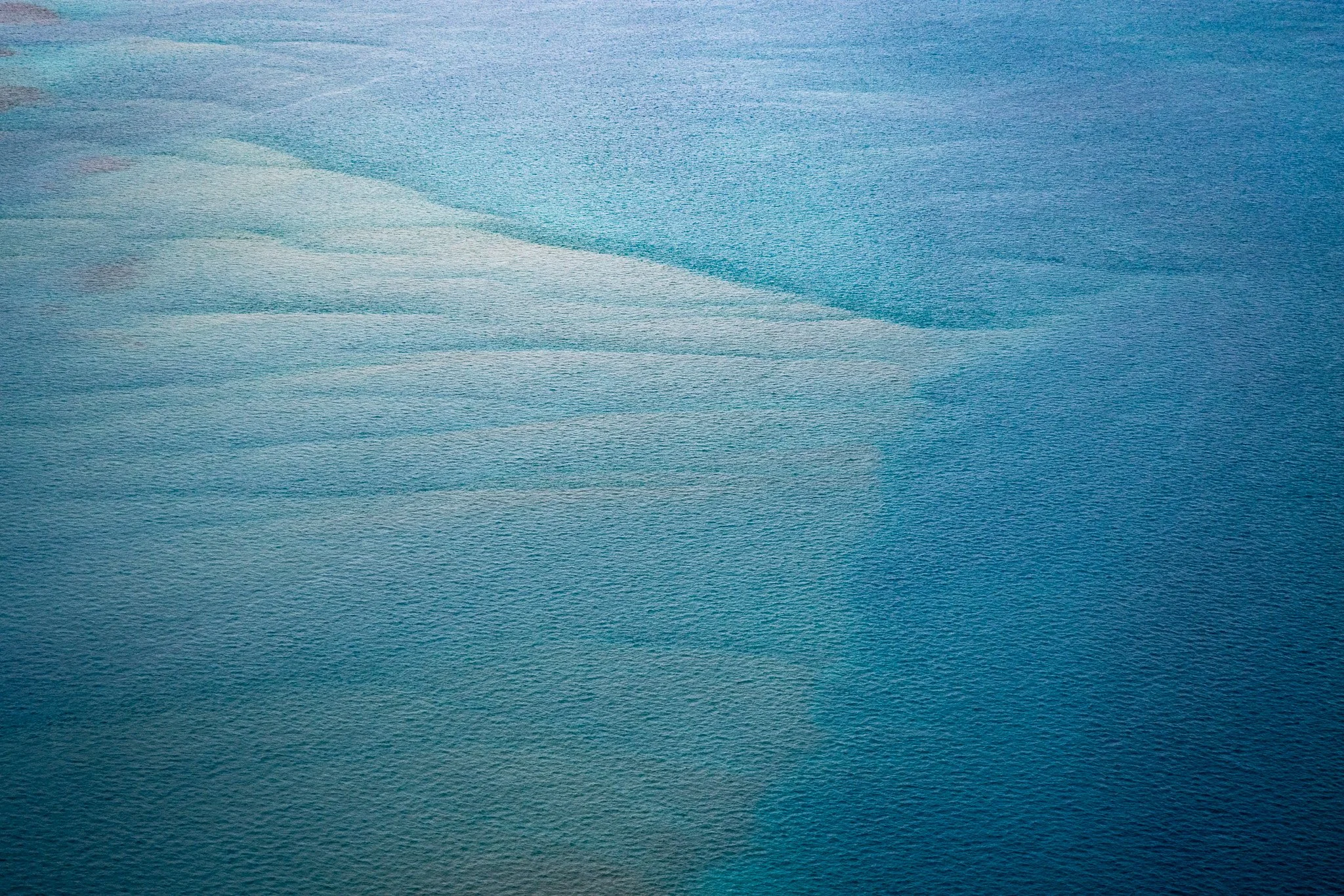
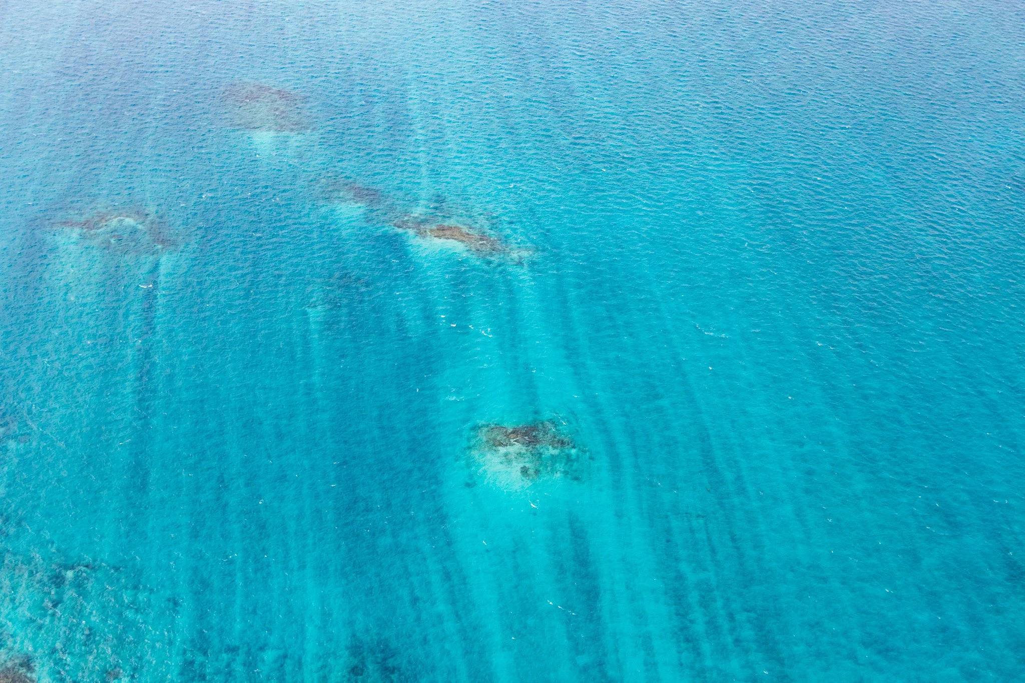
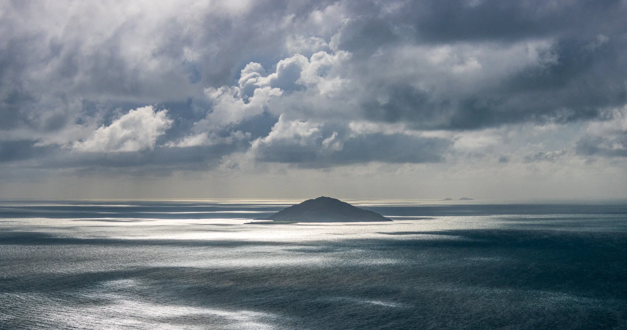
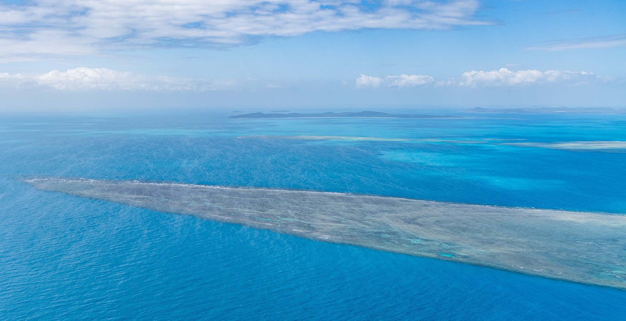
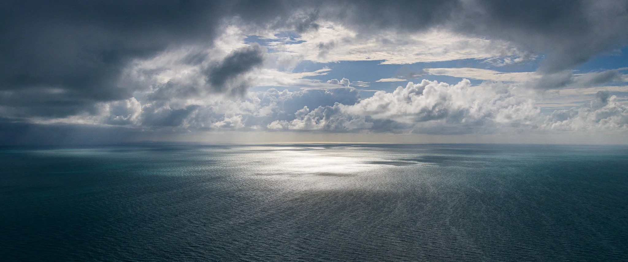
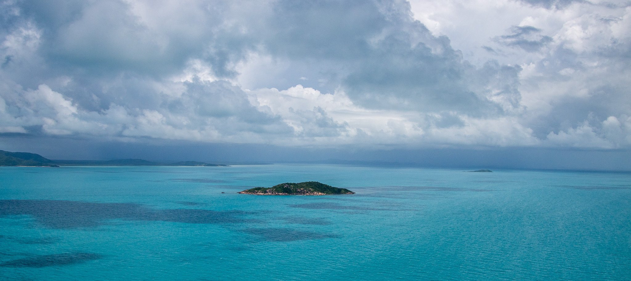
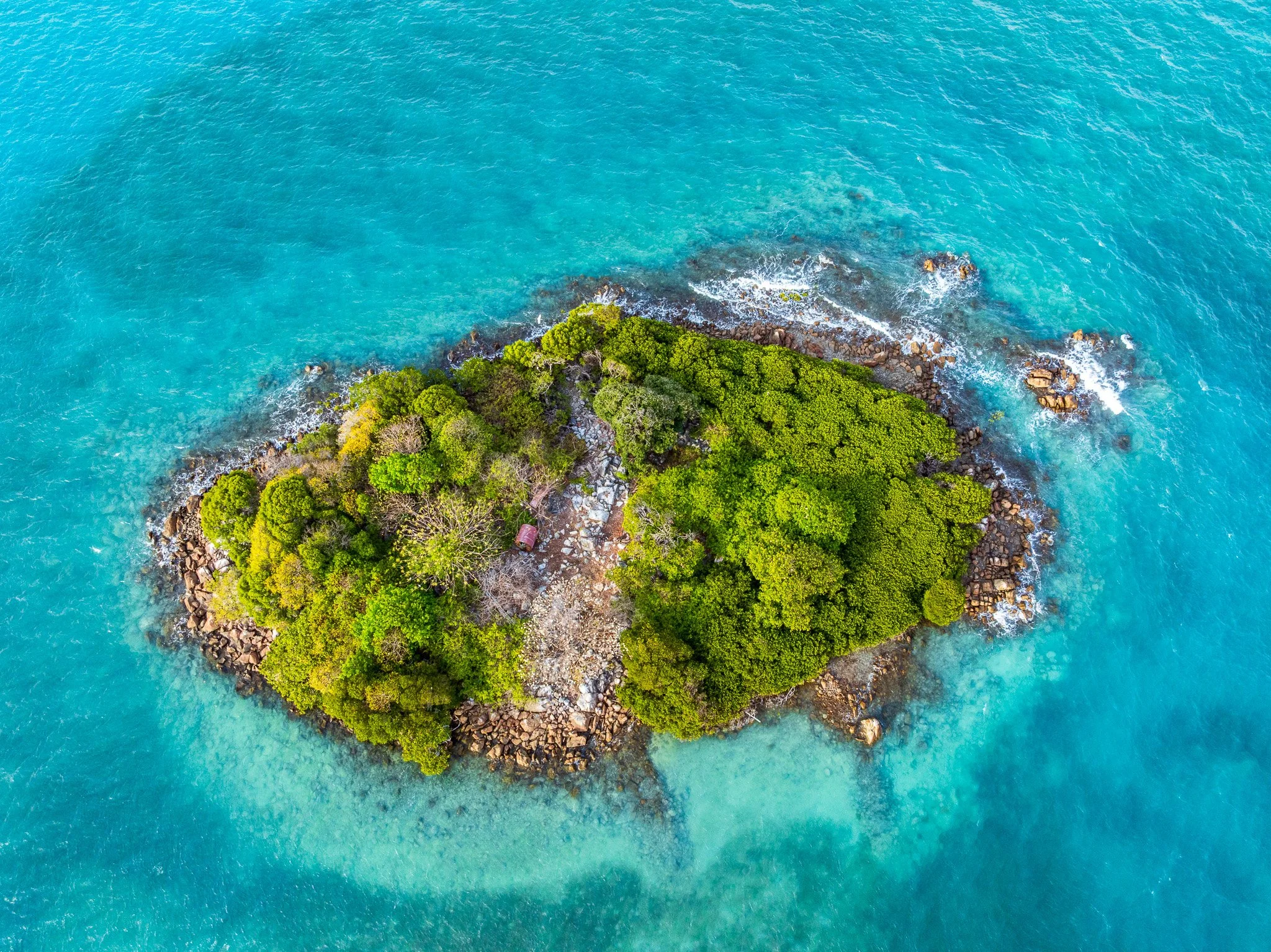
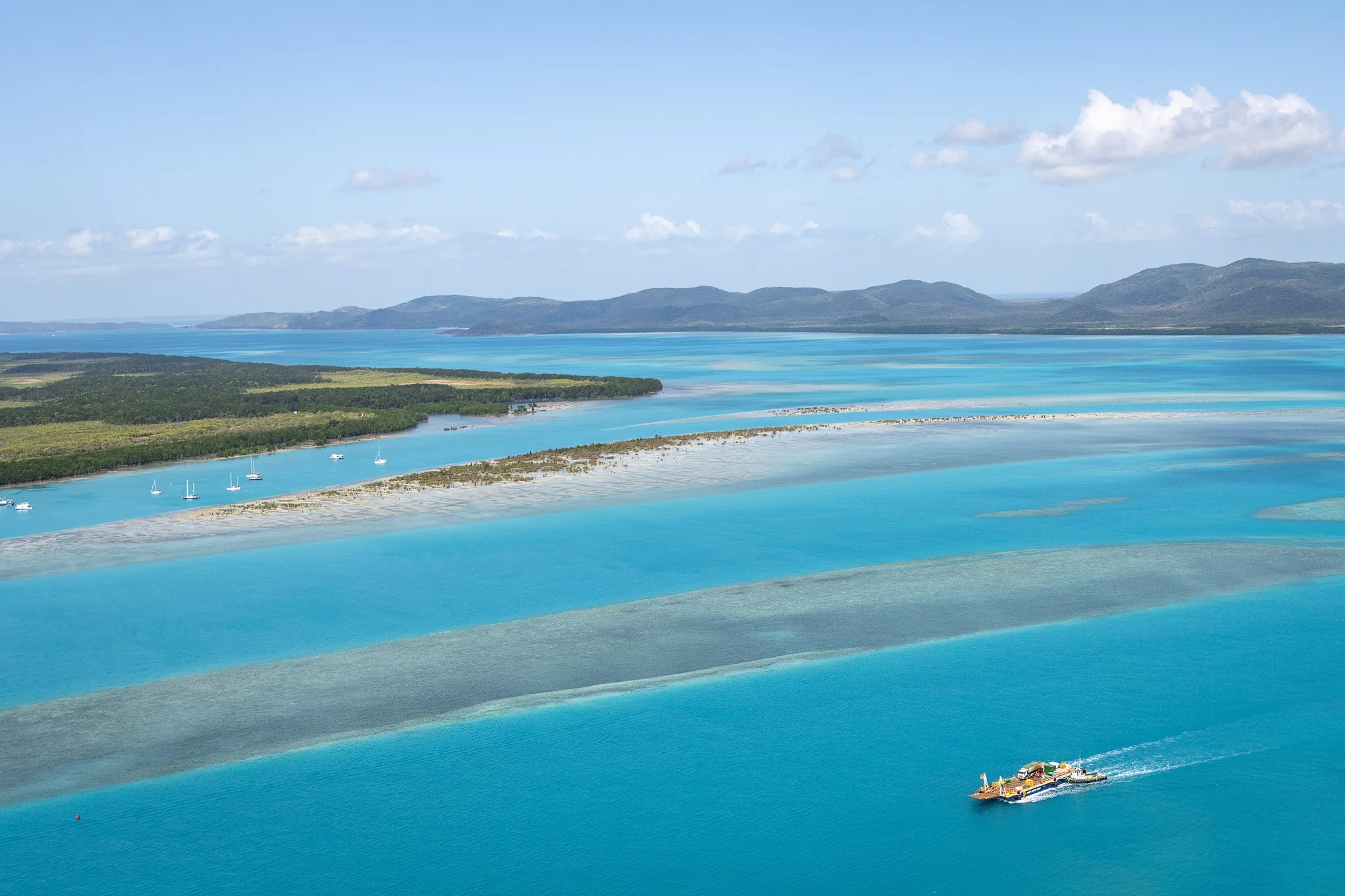
Fly over Torres Strait and the first thing you notice is that the sea is not one colour. It is mottled, channelled, streaked pale and dark — a surface that shifts with depth, cloud, sediment and the angle of the sun, and never looks quite the same twice. But the pattern beneath the colour holds. The pale shallows trace the shape of a drowned land; the darker channels run where its valleys ran. The islands are simply the parts that never went under.
What the colour is really showing you is a continent and an archipelago that were once a single walkable country. So the question the whole strait poses, once you know that, is not how these islands came to be separated from the mainland and from each other. So the real question the strait poses is not how these islands came to be separated. It is how the people of this place have kept adapting — from land-walkers to seafarers, and much more since — to stay connected across a sea that has never stopped changing the terms. That adaptation, running for eight thousand years, is the story written in the water below.
The drowned plain
At the last glacial maximum, roughly 20,000 years ago, sea levels were approximately 120 metres lower than today. The continental shelf between Cape York and New Guinea was dry land — a broad, flat plain crossed by rivers, supporting savanna and woodland, inhabited by the ancestors of both Australian Aboriginal and Torres Strait Islander peoples and the people of Papua New Guinea. Torres Strait did not exist.
As the great ice sheets melted, sea levels rose — not suddenly, but steadily, over thousands of years. Rivers became estuaries. Estuaries became bays. By approximately 8,000 years ago, Torres Strait had formed as a recognisable body of water. By around 6,000 years ago, sea levels had broadly stabilised close to their present position.
The strait's sill — its shallowest point — sits only about 12 metres below sea level. It has been repeatedly flooded during interglacial high sea-level periods, most recently in the early part of the current warm period (the Holocene, beginning around 11,700 years ago). Almost all the current strait formed in a geological eyeblink: a few thousand years of rapid inundation following the last ice age.
As rising seas transformed a continental plain into an archipelago, communities adapted to a marine world, developing one of the richest seafaring cultures in the southern hemisphere. Most pale areas visible from altitude represent the former land surface, or reefs that have grown upward on that drowned landscape. The deep channels are its drowned valleys.
The islands standing above that turquoise are the high points of a plain that people once crossed on foot. The sea did not carry them out there. It rose around them — and rather than let it divide them, they changed how they lived, becoming one of the great seafaring peoples of the southern hemisphere. That was the first adaptation to a rising sea. It would not be the last.
Five kinds of island
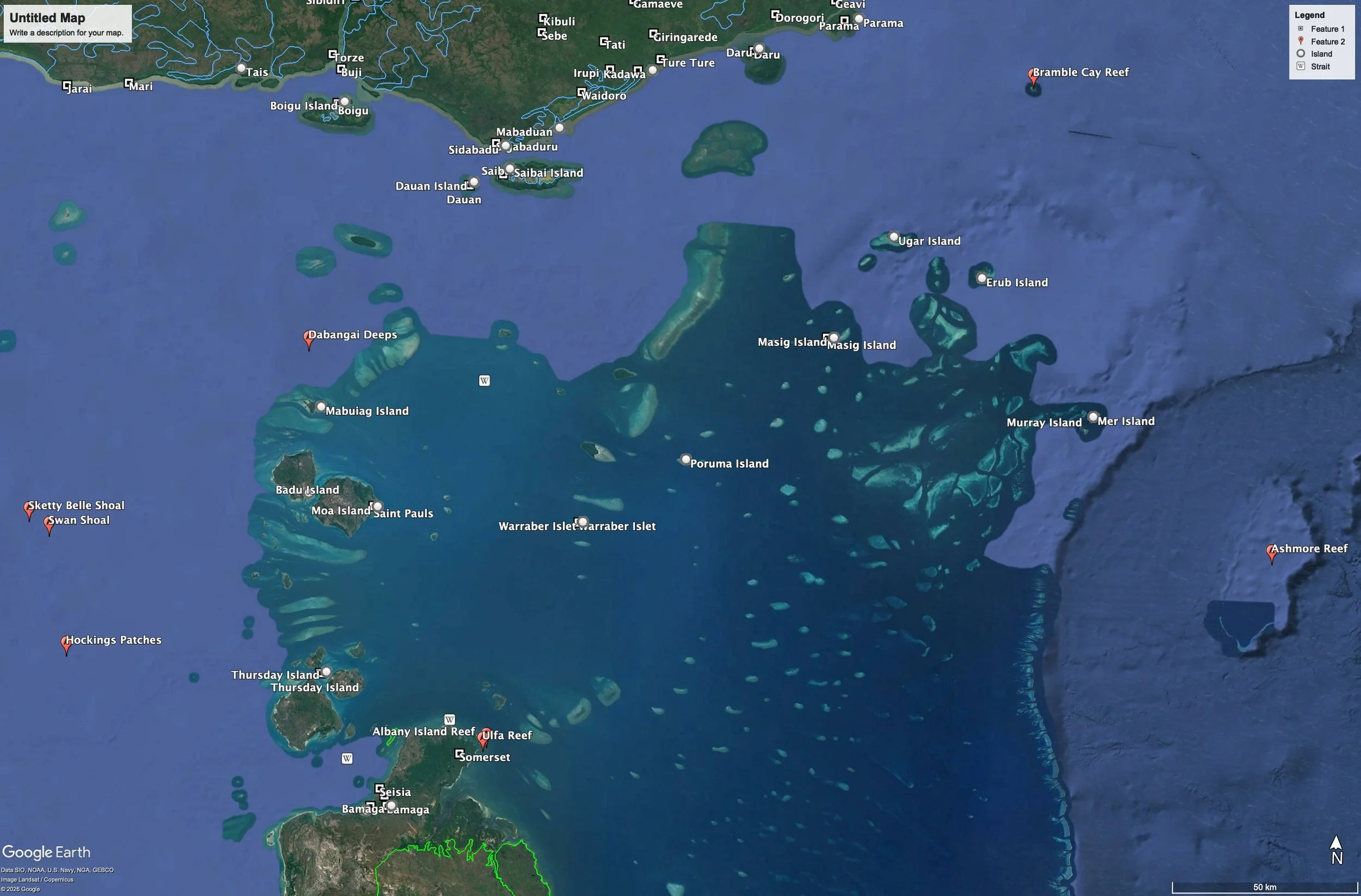
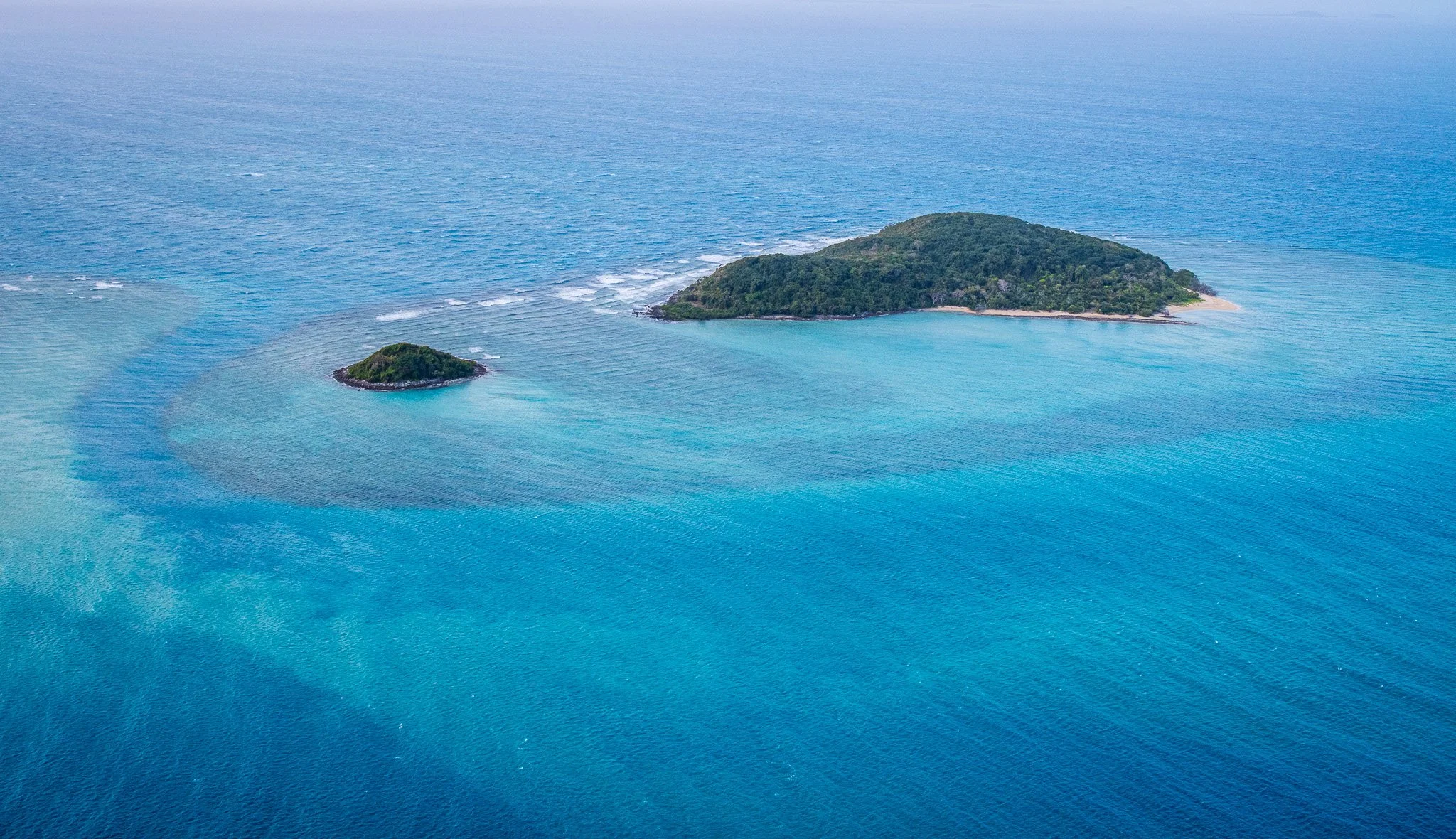
What makes Torres Strait geologically extraordinary is not that it contains islands. It is that within 150 kilometres of water, five completely different kinds of island exist — each formed by a different geological process, across vastly different timescales. Read from above, they are also a map of connection: the western islands sharing their ancient rock with Cape York, the eastern reaching toward New Guinea, and the low northern islands built from New Guinea's own rivers.
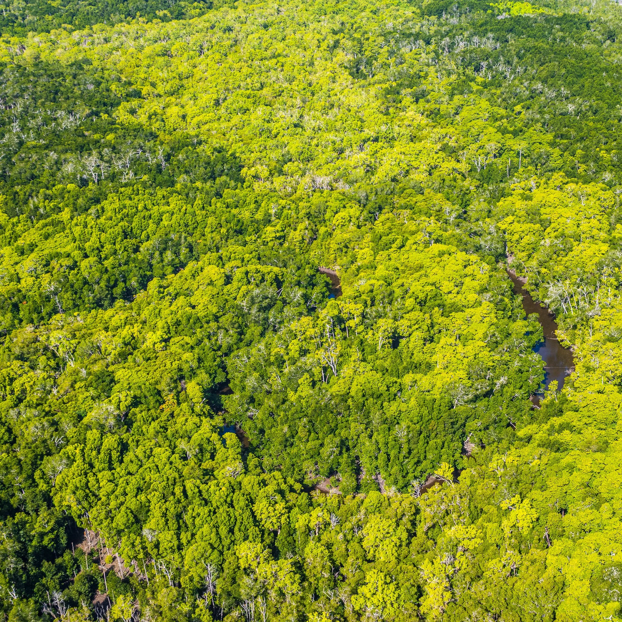
The western islands — Badu, Mabuiag, and the smaller granitic cays — are the oldest. Their bedrock is the Badu Granite, a rock approximately 294 million years old (late Carboniferous to early Permian — roughly 320 to 250 million years ago), part of the same family of ancient crystalline basement that underlies Cape York Peninsula. These islands were never formed by the sea. They are the high points of a continental landmass that the sea rose around. Rising steeply from the water, densely forested, with extensive mangrove fringes where granite shorelines and freshwater seeps meet the tidal flat, they read from the air as dark and topographically complex — mountains that became islands. They are, in the most literal sense, Cape York continued: the mainland's own rock, standing offshore.
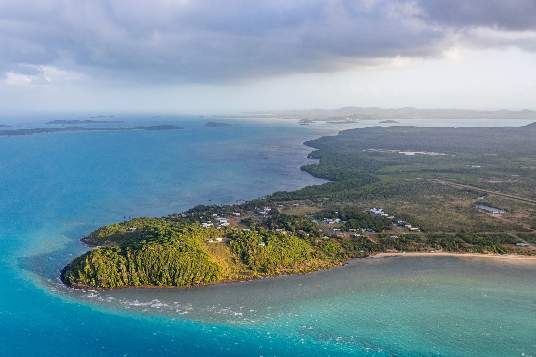
Moa Island
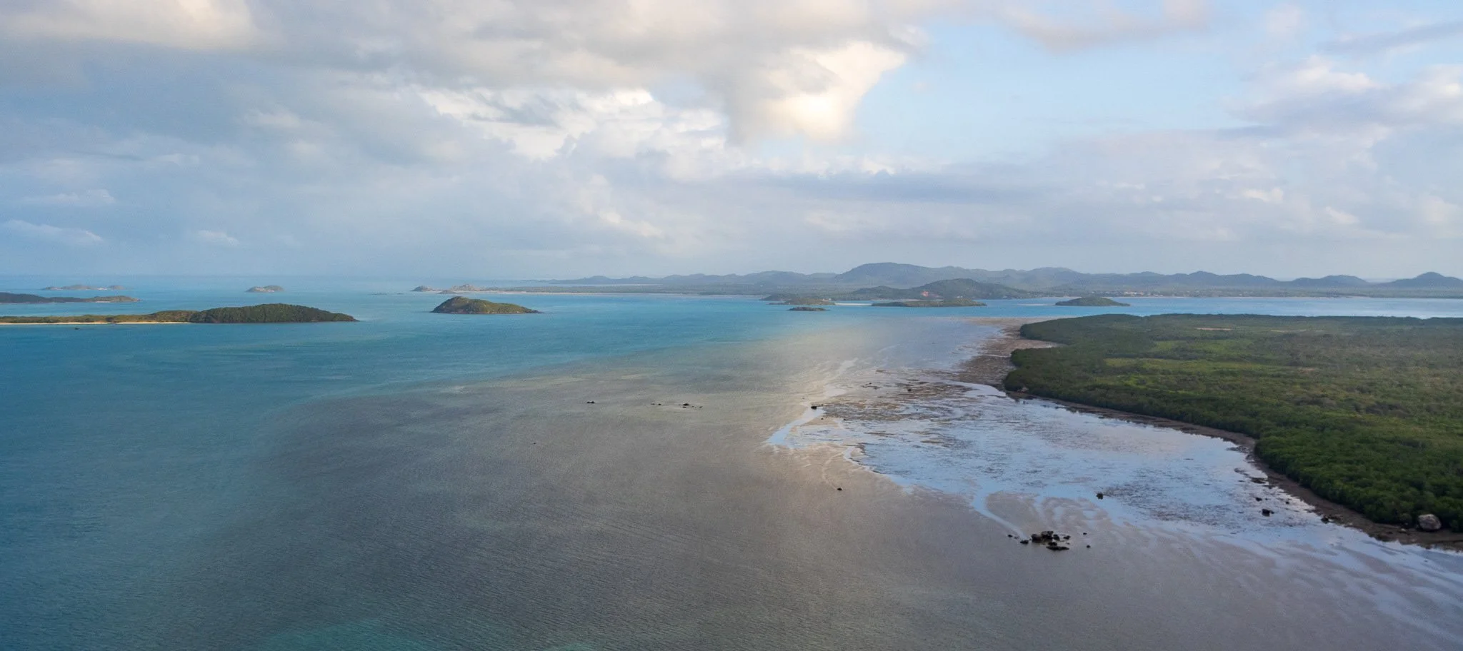
Moa Island looking west of Kubin
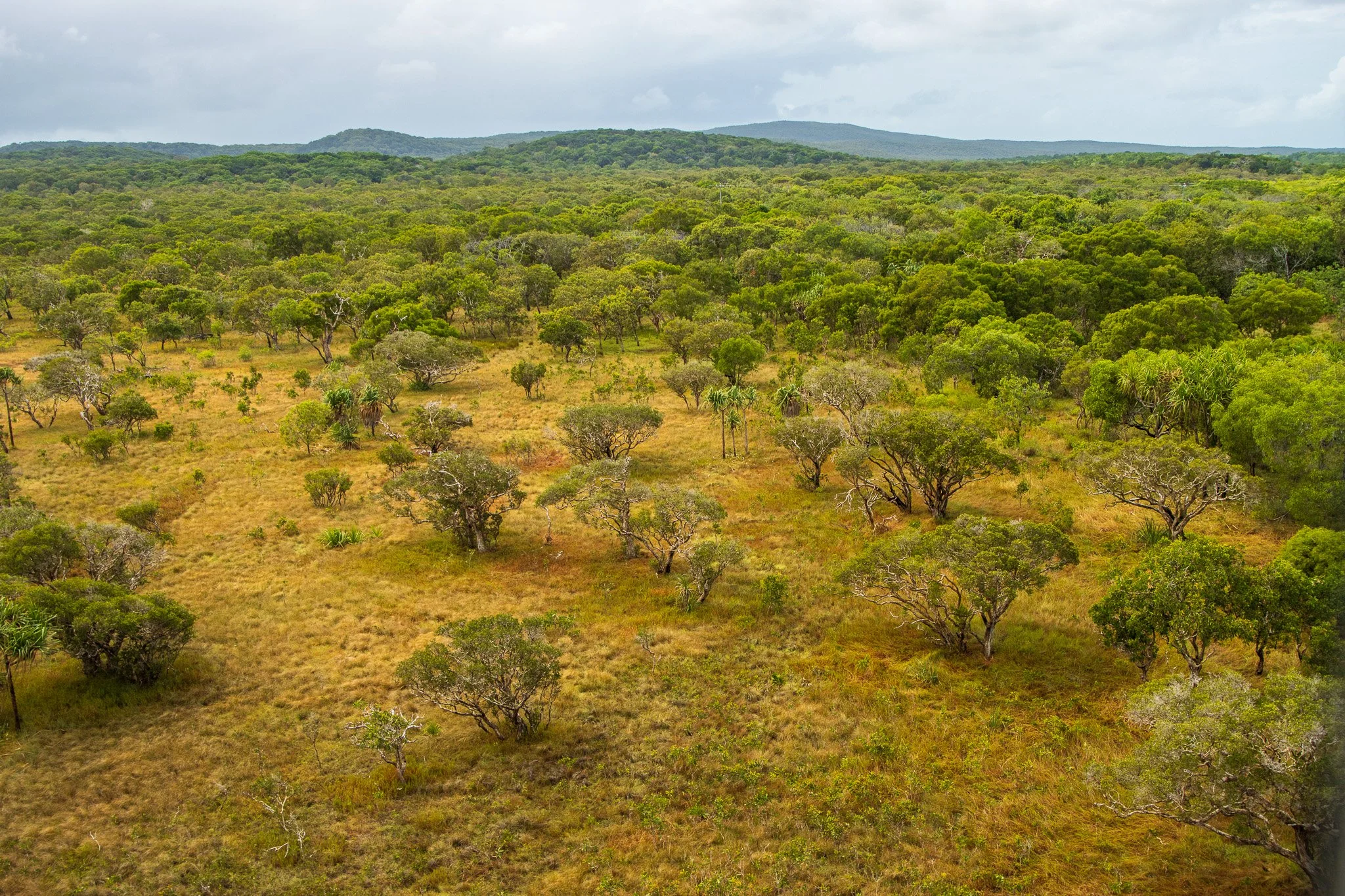
Moa Island
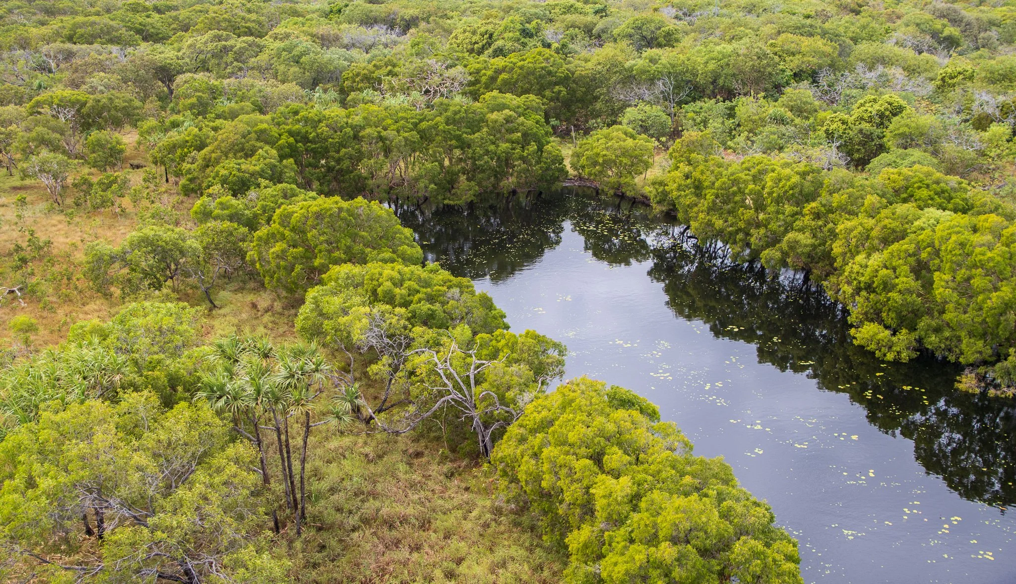
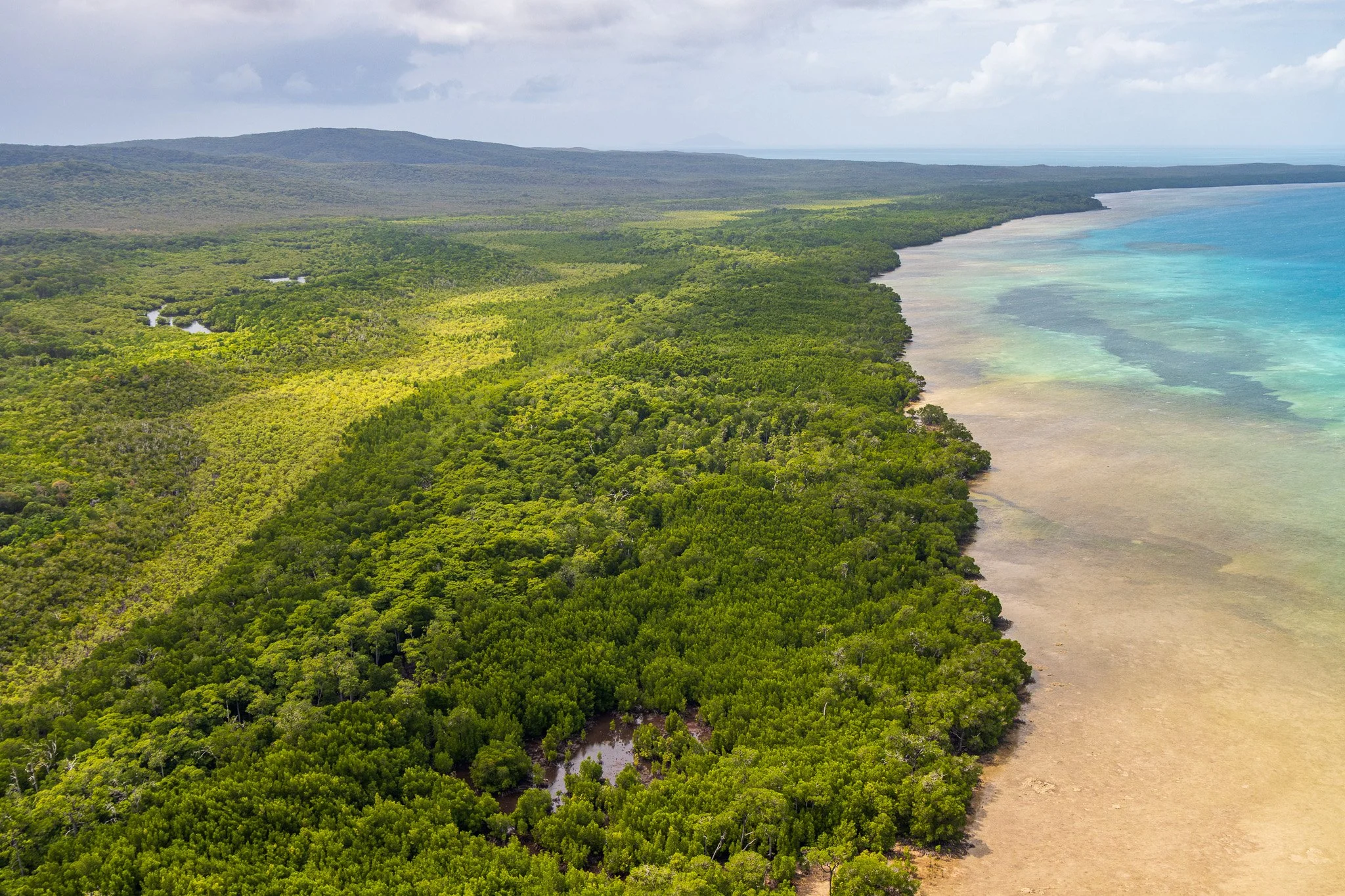
Coastline east of Kubin
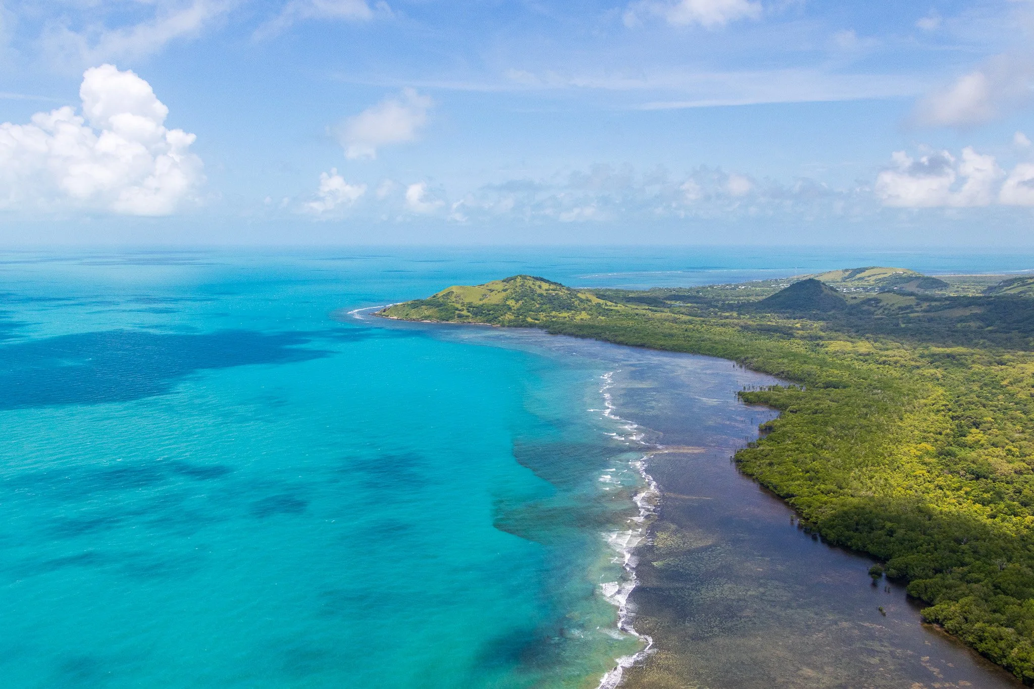
Coastline east of Kubin
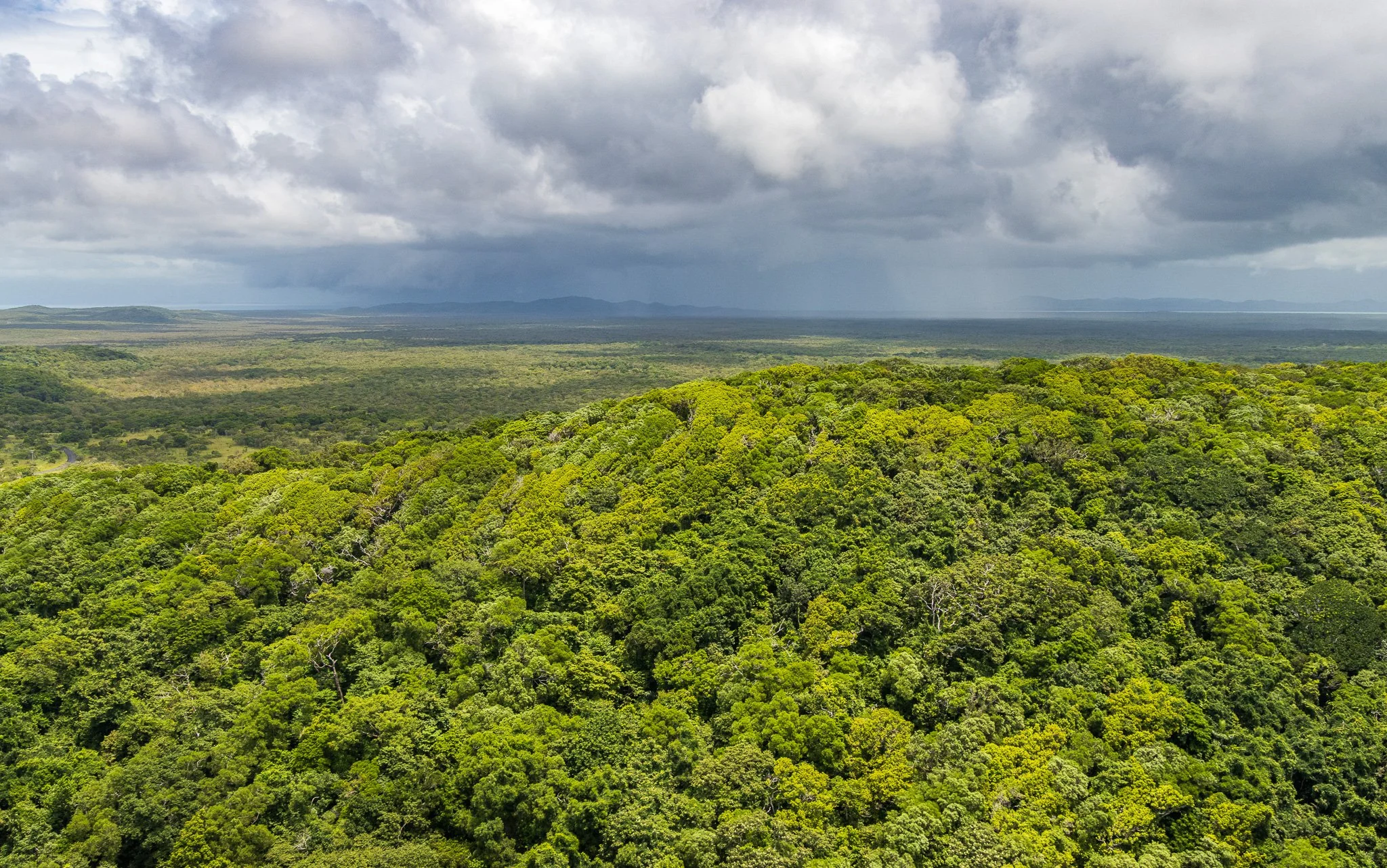
Moa Island
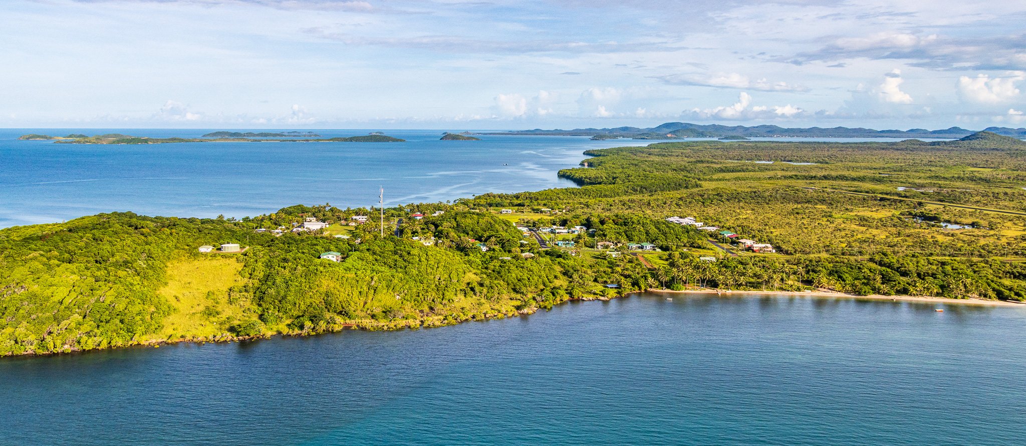
Kubin on Moa Island
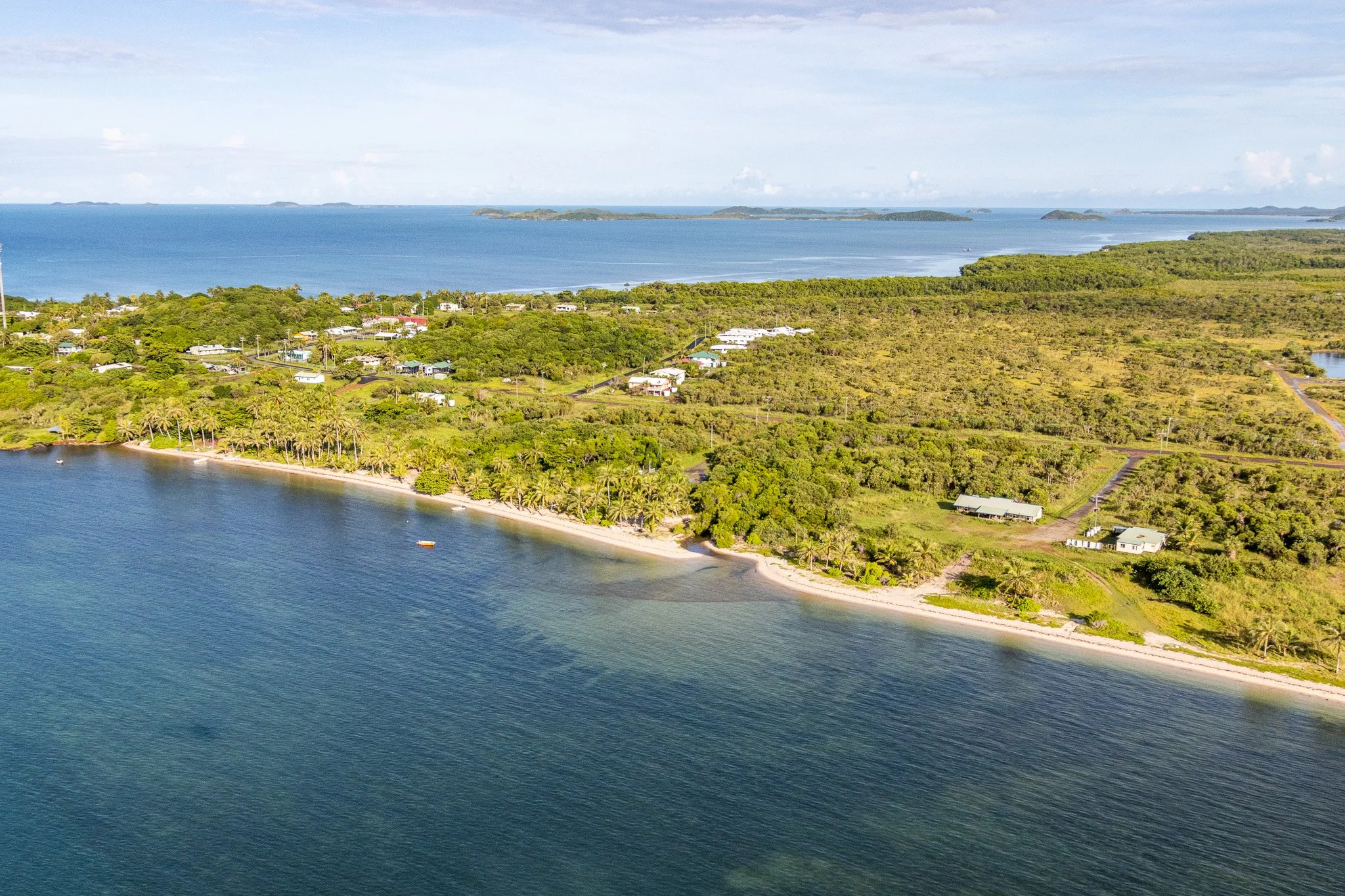
Kubin, Moa Island
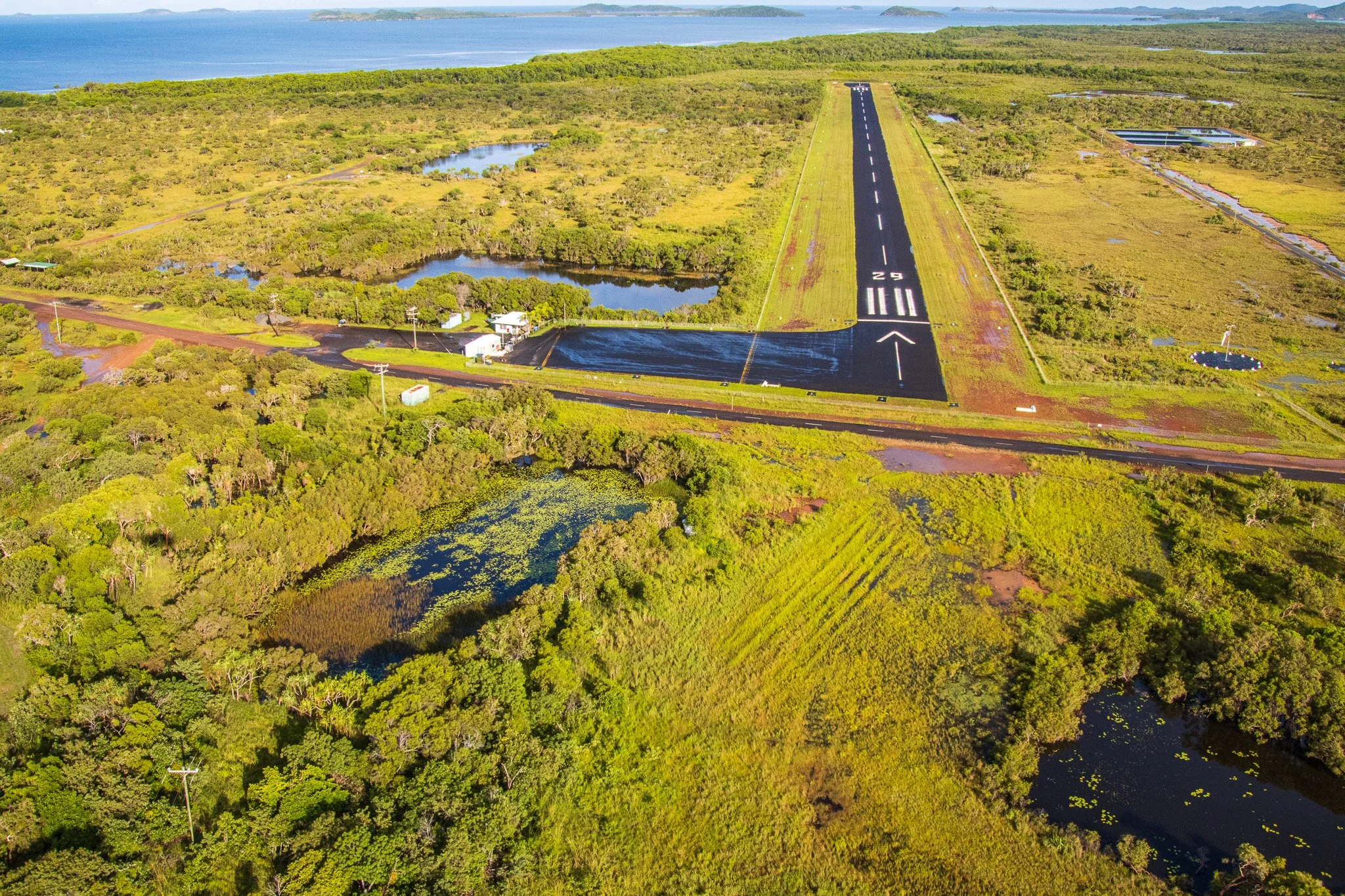
Airport, Kubin, Moa Island
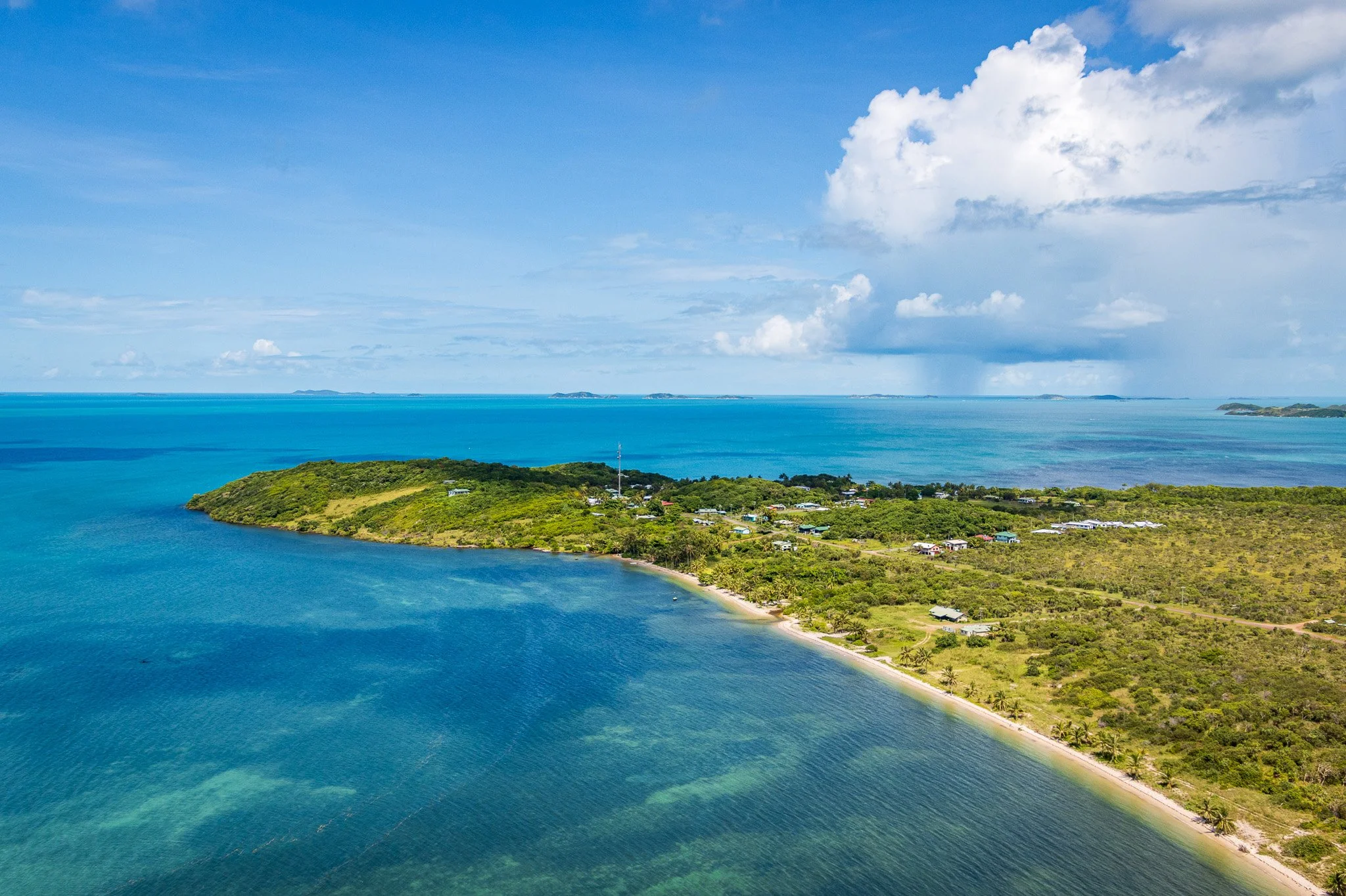
Kubin, Moa Island
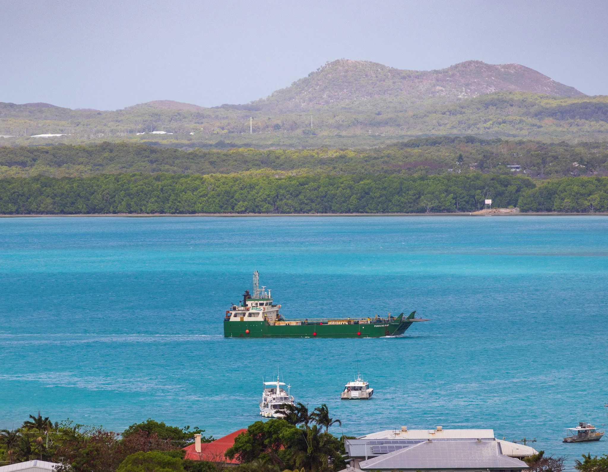
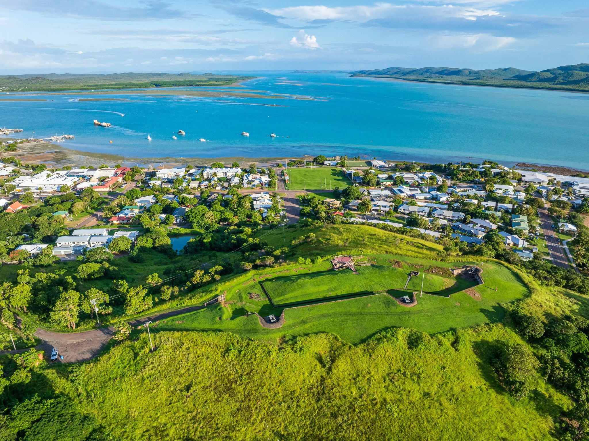
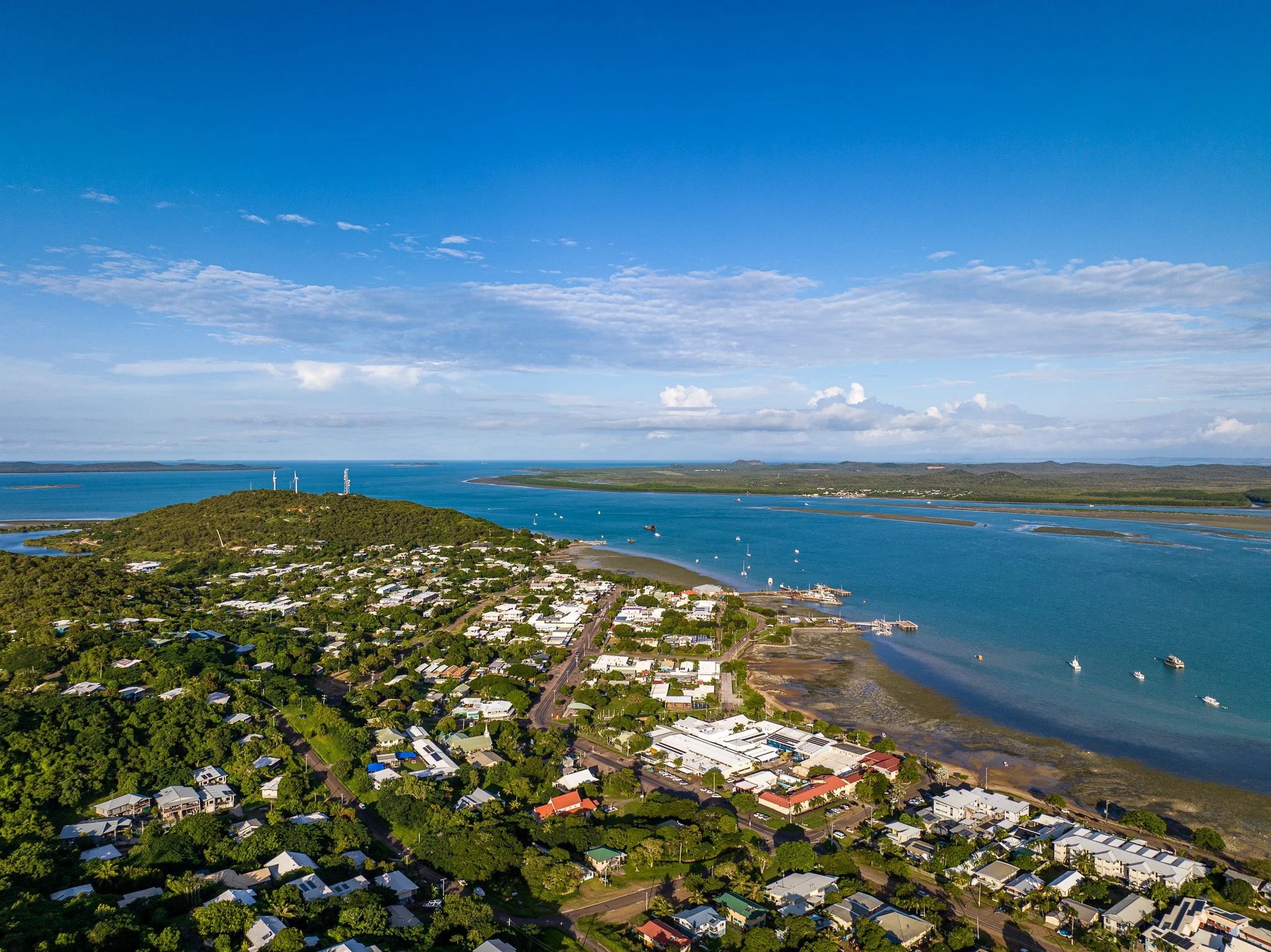
The inner island group — Prince of Wales (Muralug), Thursday (Waiben), Horn (Ngurupai), and Moa — is geologically more complex. Ancient granite forms the margins of several islands, but much of the interior is blanketed by Tertiary to Quaternary sediments (the Tertiary spanning roughly 66 to 2.6 million years ago; the Quaternary — our current ice age period — from 2.6 million years ago to the present) that accumulated on the platform before and during the current inundation. Older Cambro-Permian metamorphic and volcanic rocks (spanning roughly 540 to 250 million years ago) add a further layer of complexity beneath. These are the islands closest to the mainland — the natural stepping-stones of any crossing, and the ground on which the strait's history would later concentrate. Thursday Island's dense settlement, administrative buildings, and enclosed harbour — clearly visible from altitude — sit on this layered geological inheritance; it became the commercial hub of the pearling era precisely because its sheltered geography made it the most accessible anchorage in the strait.
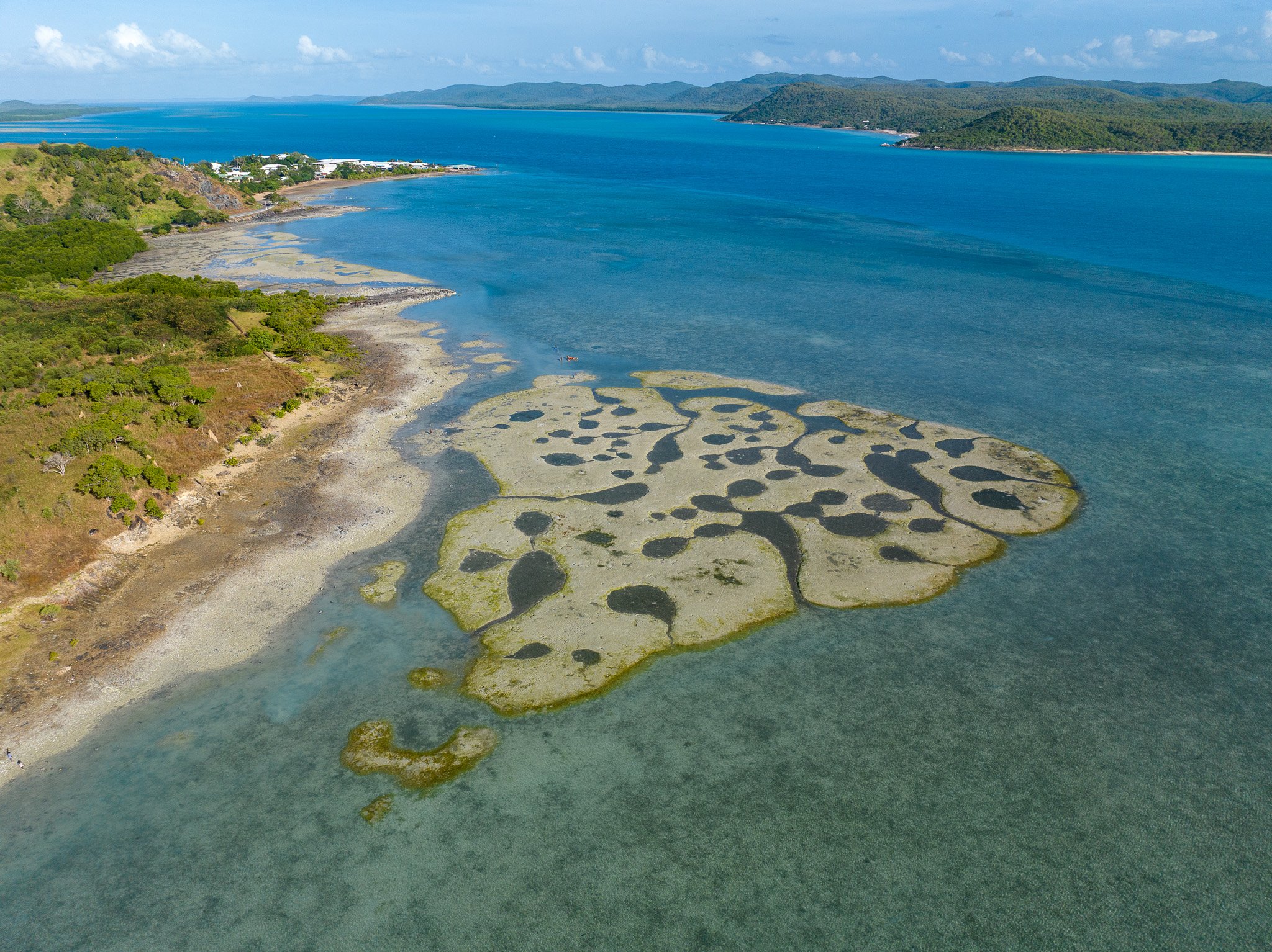
NW corner, looking towards Thursday Island Hospital
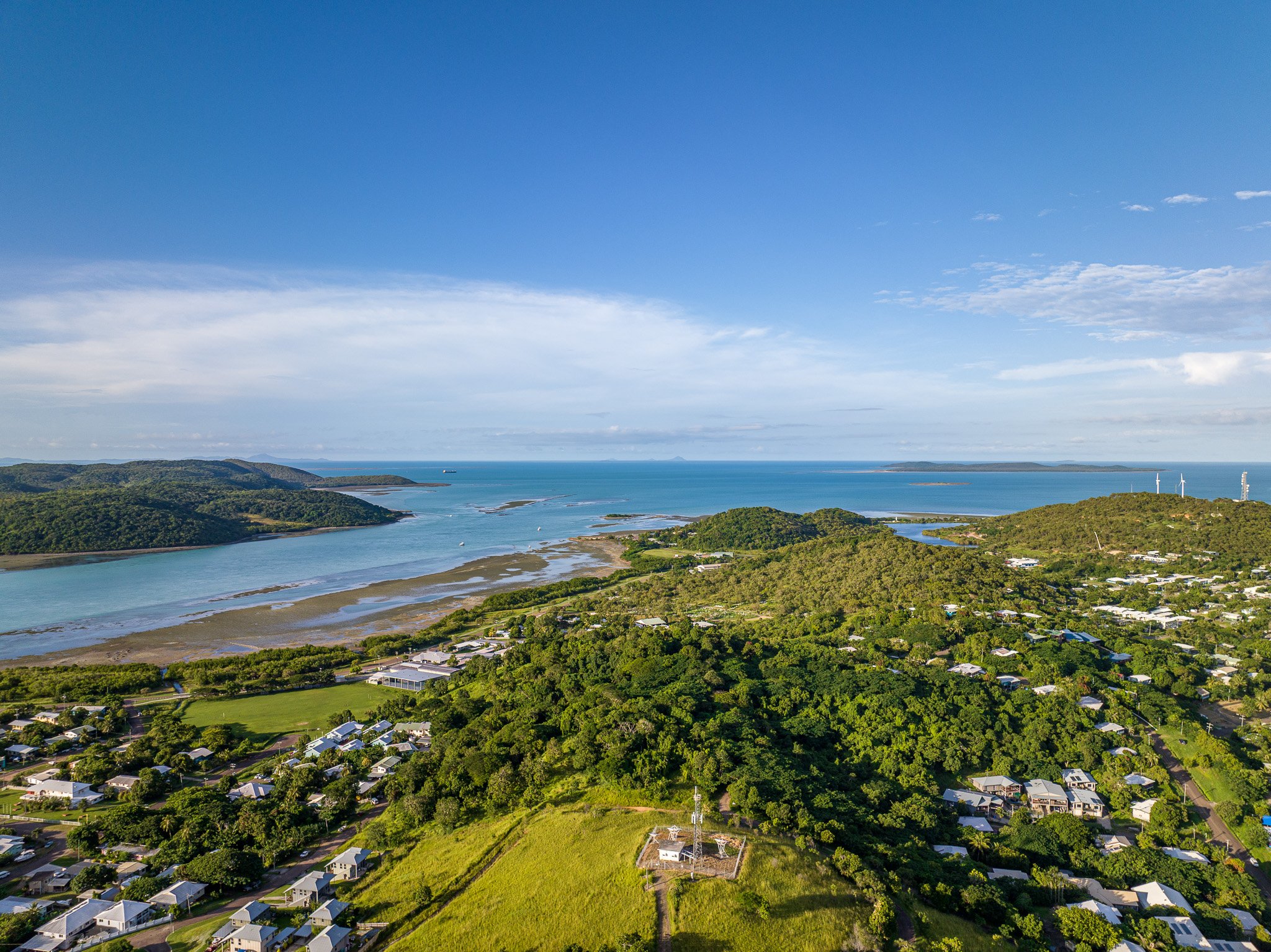
Green Hill in the foreground, looking NE
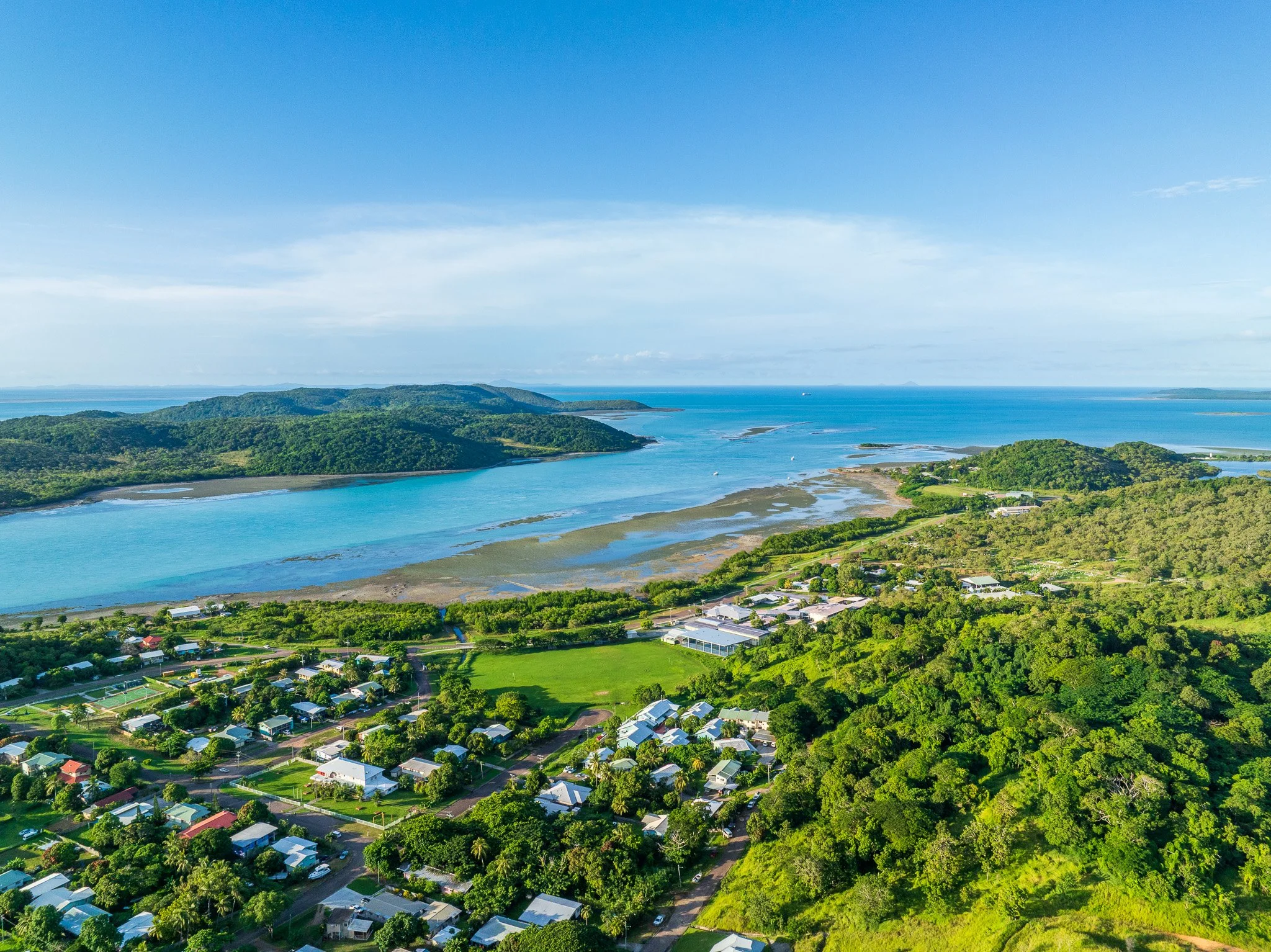
Thursday Island in the foreground, looking NE with Hammond Island centre left.
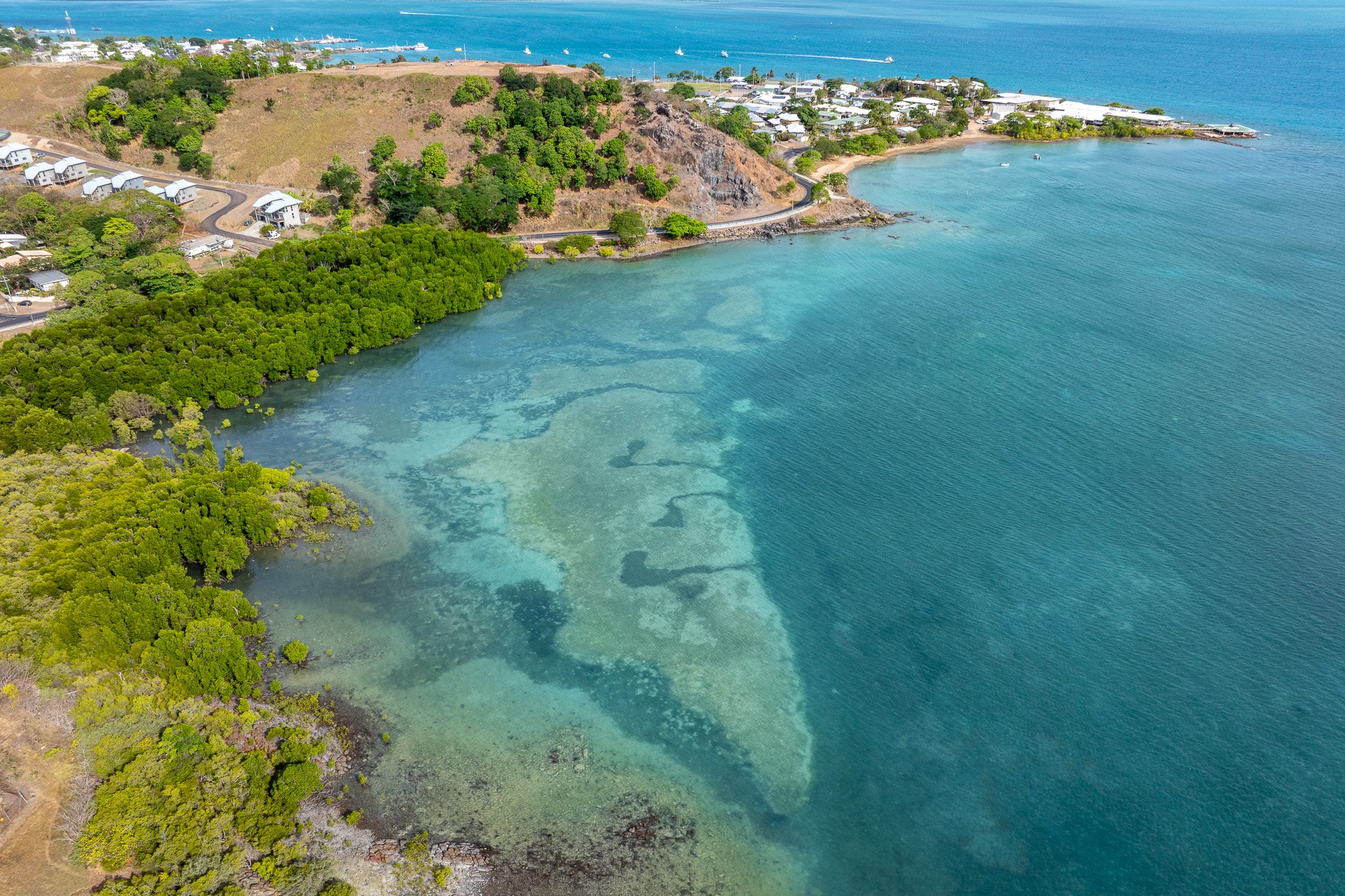
Thursday Island, showing basement rock of Green Hill
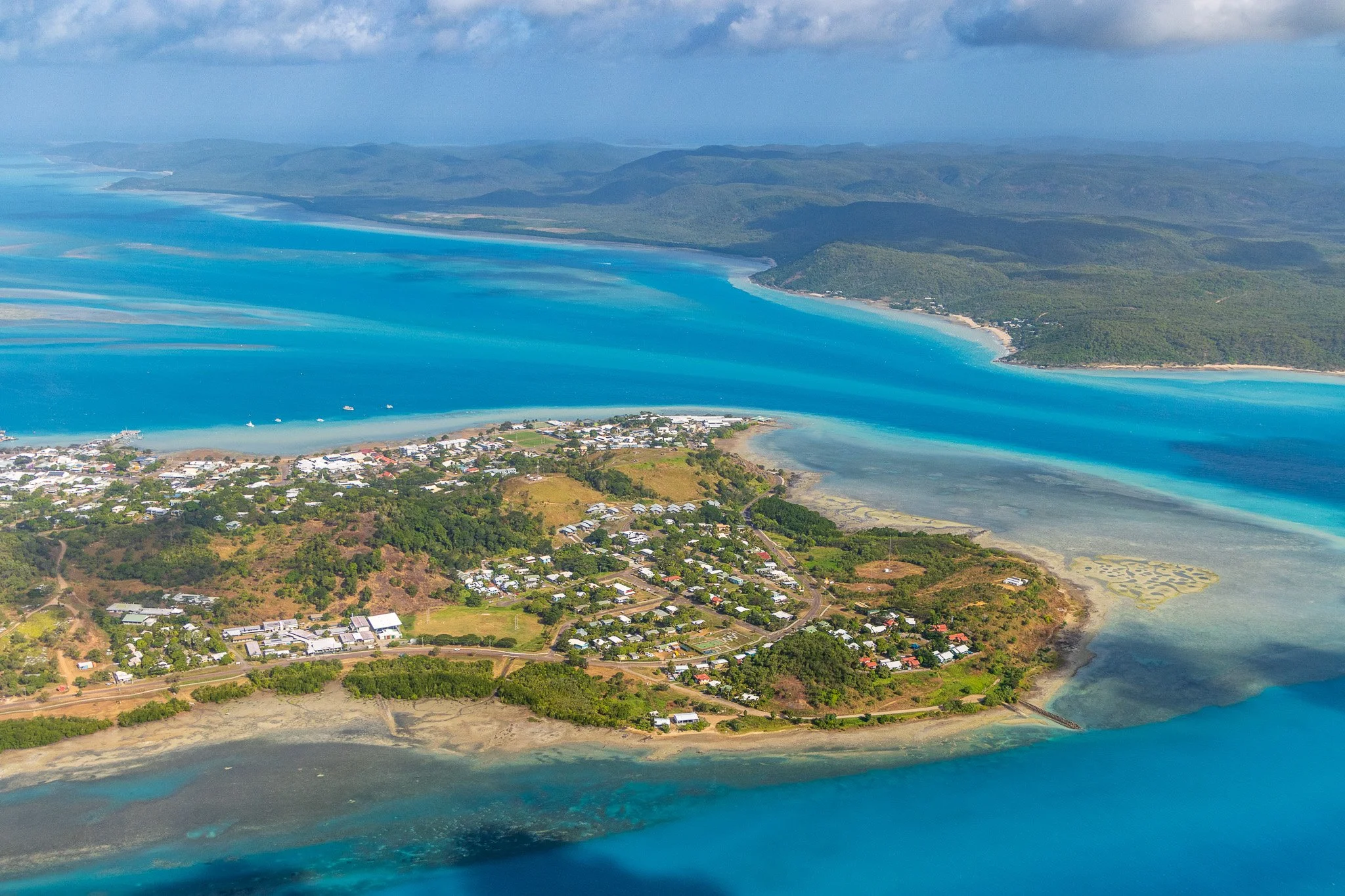
Western end, Thursday Island
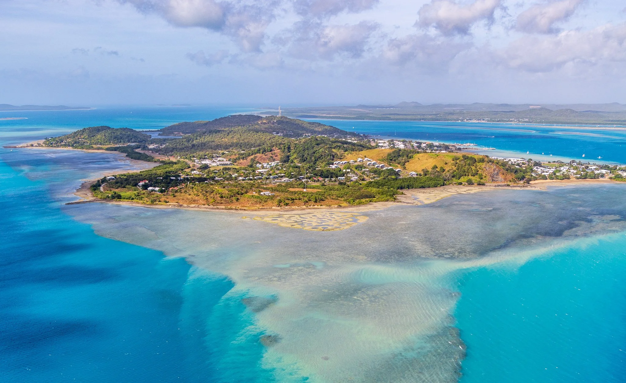
Thursday Island, looking E
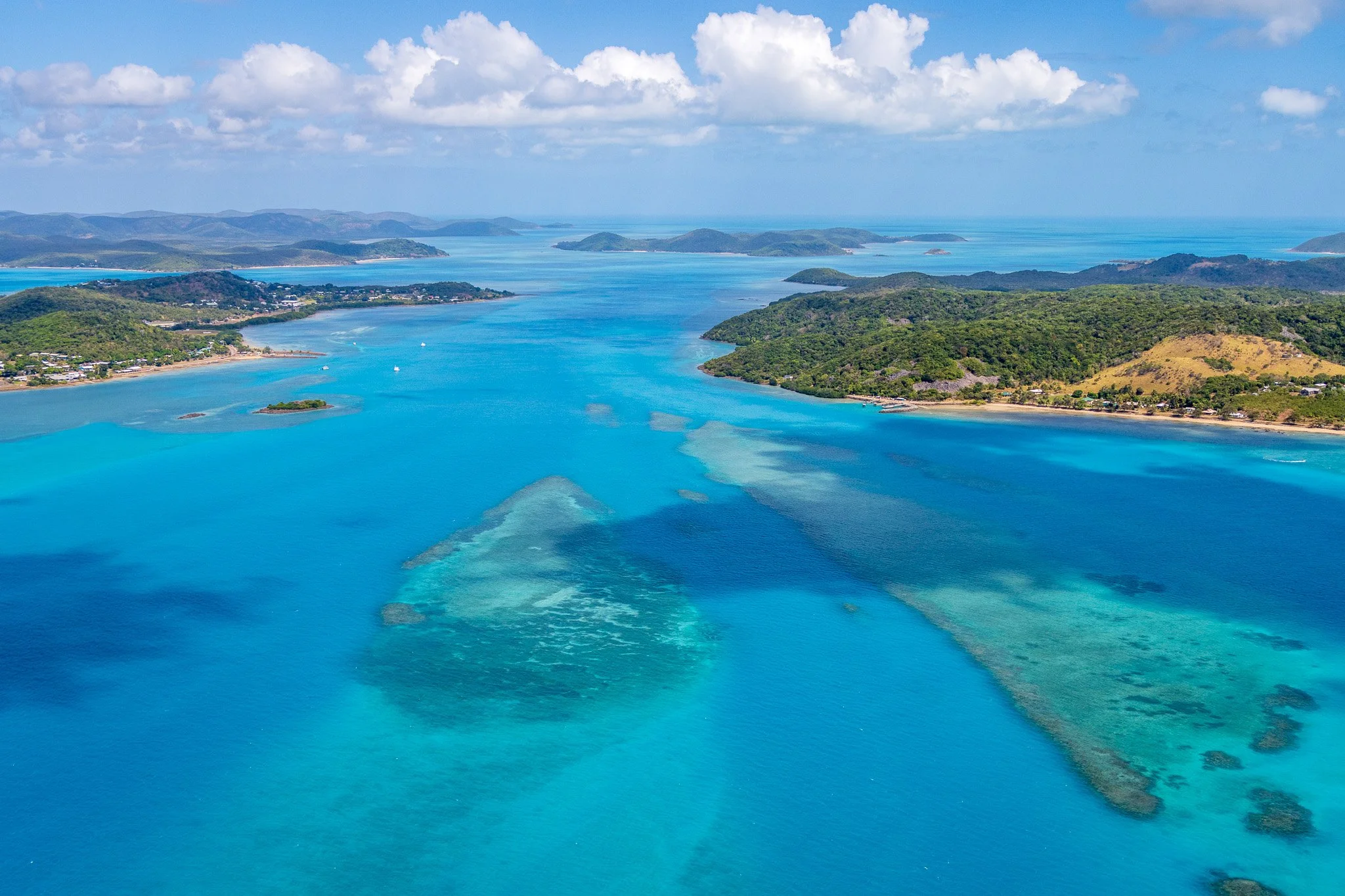
NE of Thursday Island, looking SW with Hammond on the right and Thursday Island on the left.
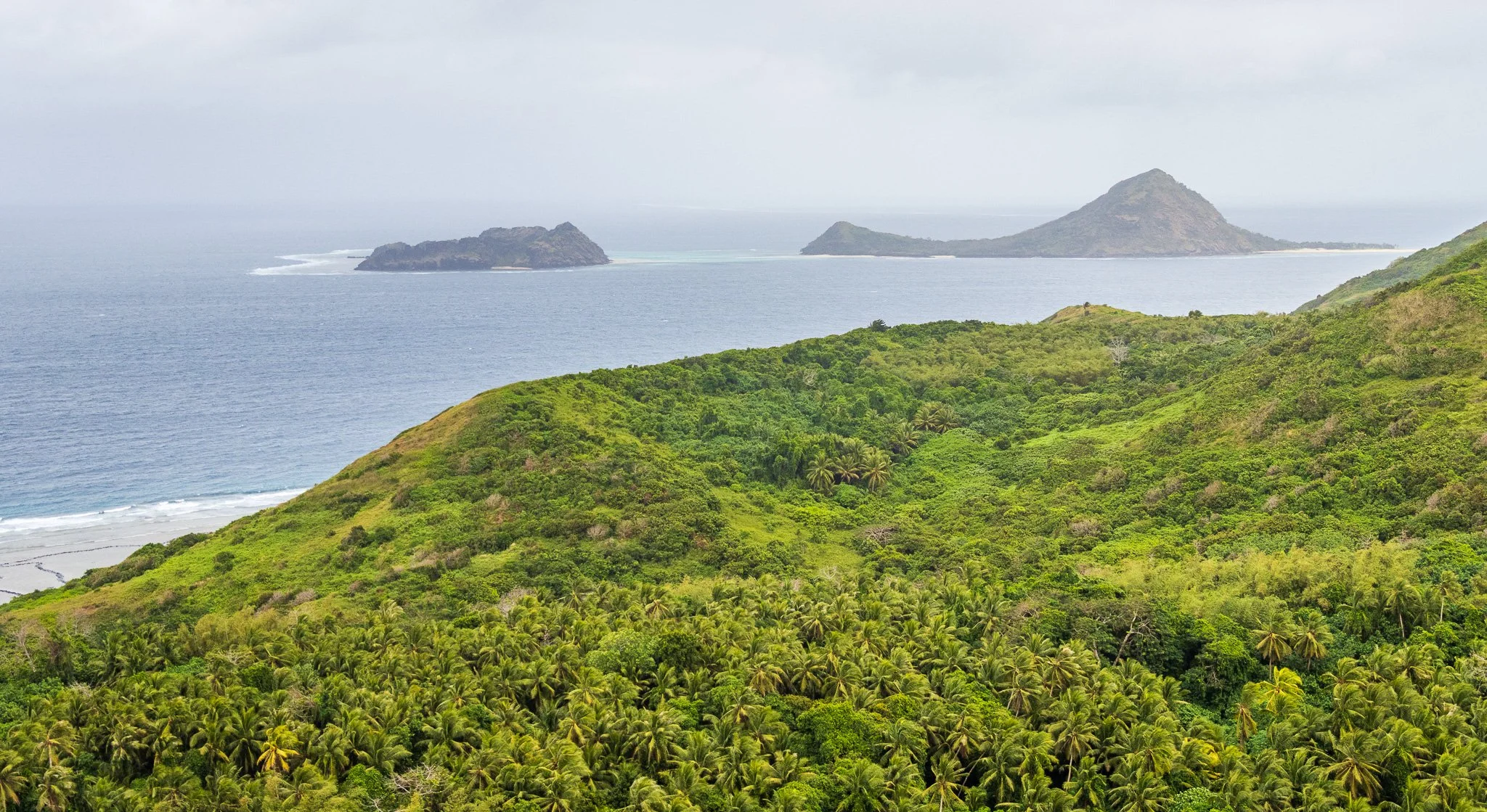
To the east, Murray Island — Mer — is something else entirely. Its bedrock is basalt: a volcanic island that formed during intraplate volcanism associated with mantle upwelling, its eruption centre active during Pliocene to Pleistocene times — the Pliocene from approximately 5.3 to 2.6 million years ago, the Pleistocene from 2.6 million to around 11,700 years ago. The island rises to 230 metres, its highest point — Gelam Paser — the rim of the old volcanic crater. Waier, sitting close beside it, is a crescent of land thought to represent part of an eroded volcanic centre, its open arc facing the sea. The basaltic soil is red and fertile, the vegetation distinctly denser than anything on the granite or sediment islands. These easternmost islands lie closest to New Guinea — and, as the human story will show, they look culturally and linguistically that way too.
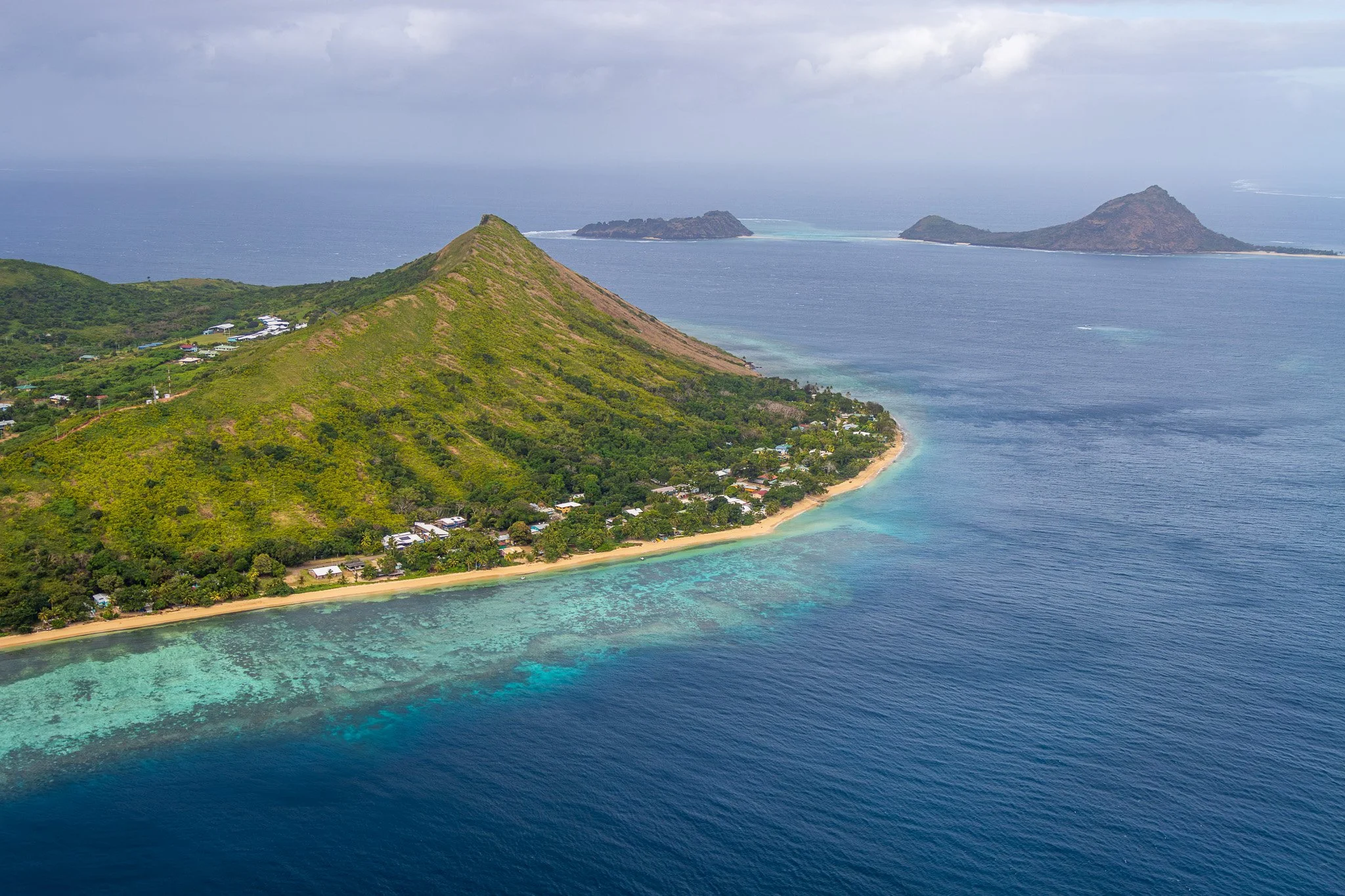
Murray (Mer) Island with Waua Islet (left) and Dowar (right) in the background
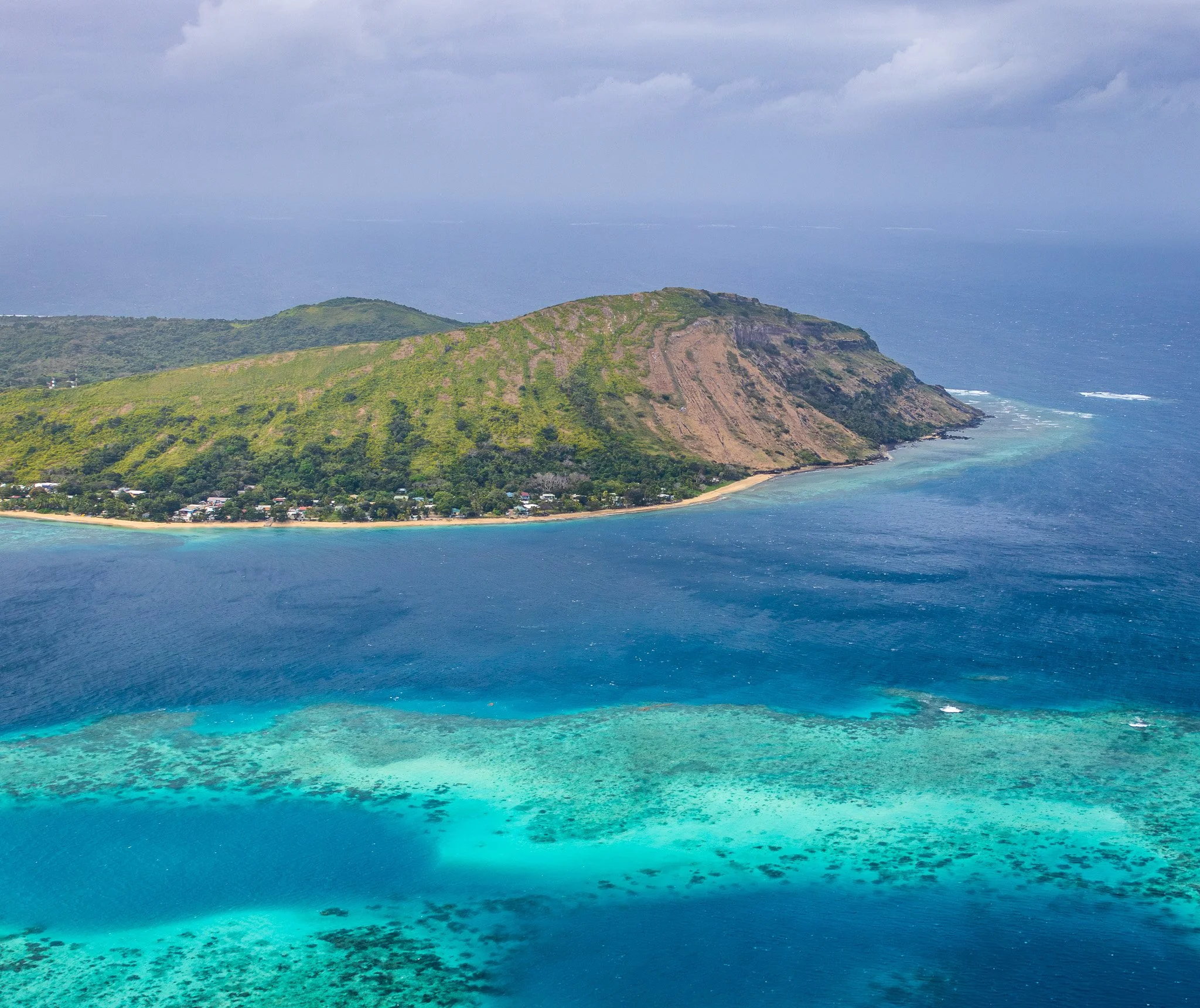
Murray (Mer) Island from W looking E
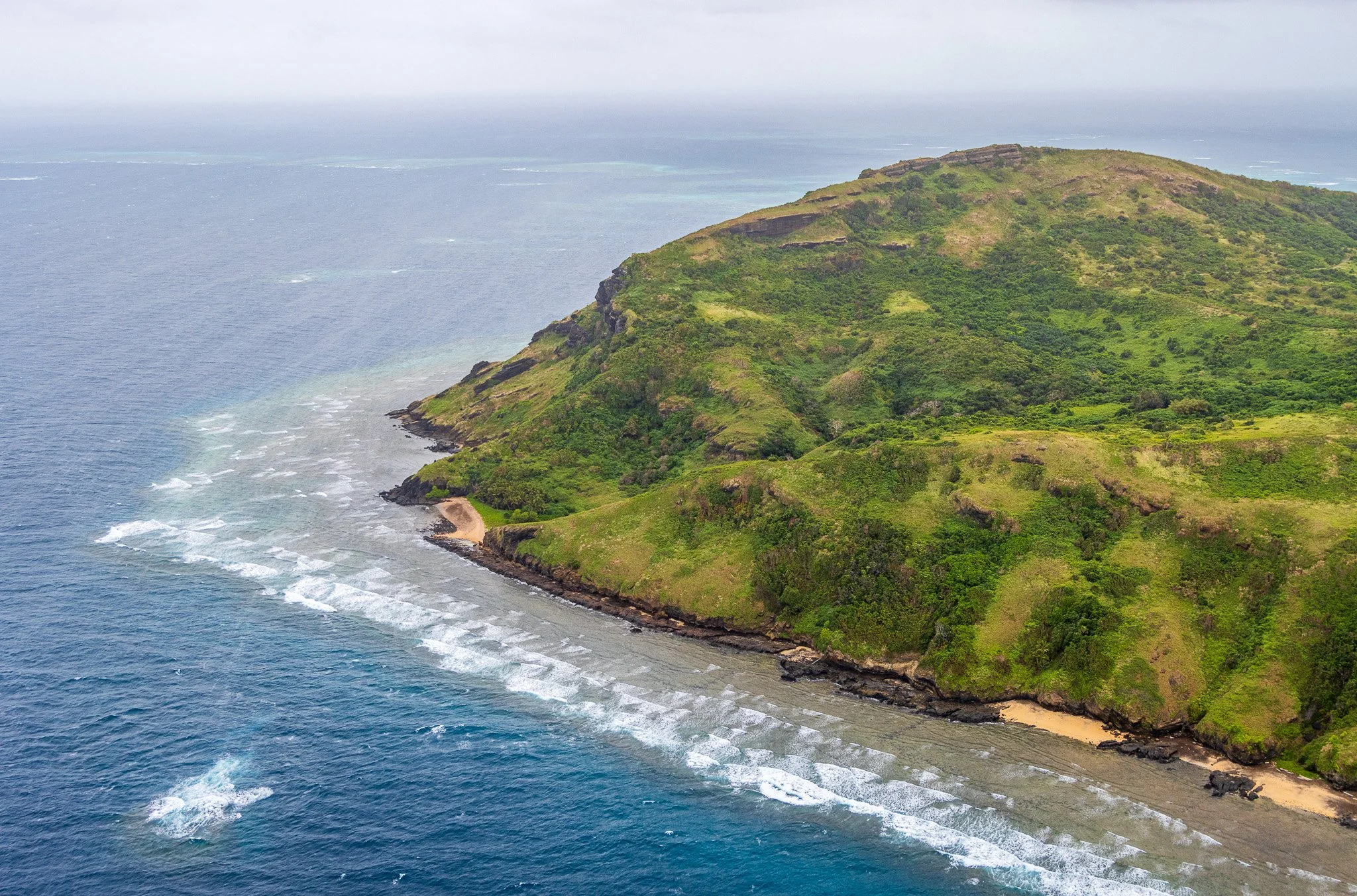
SW corner of Murray (Mer) Island
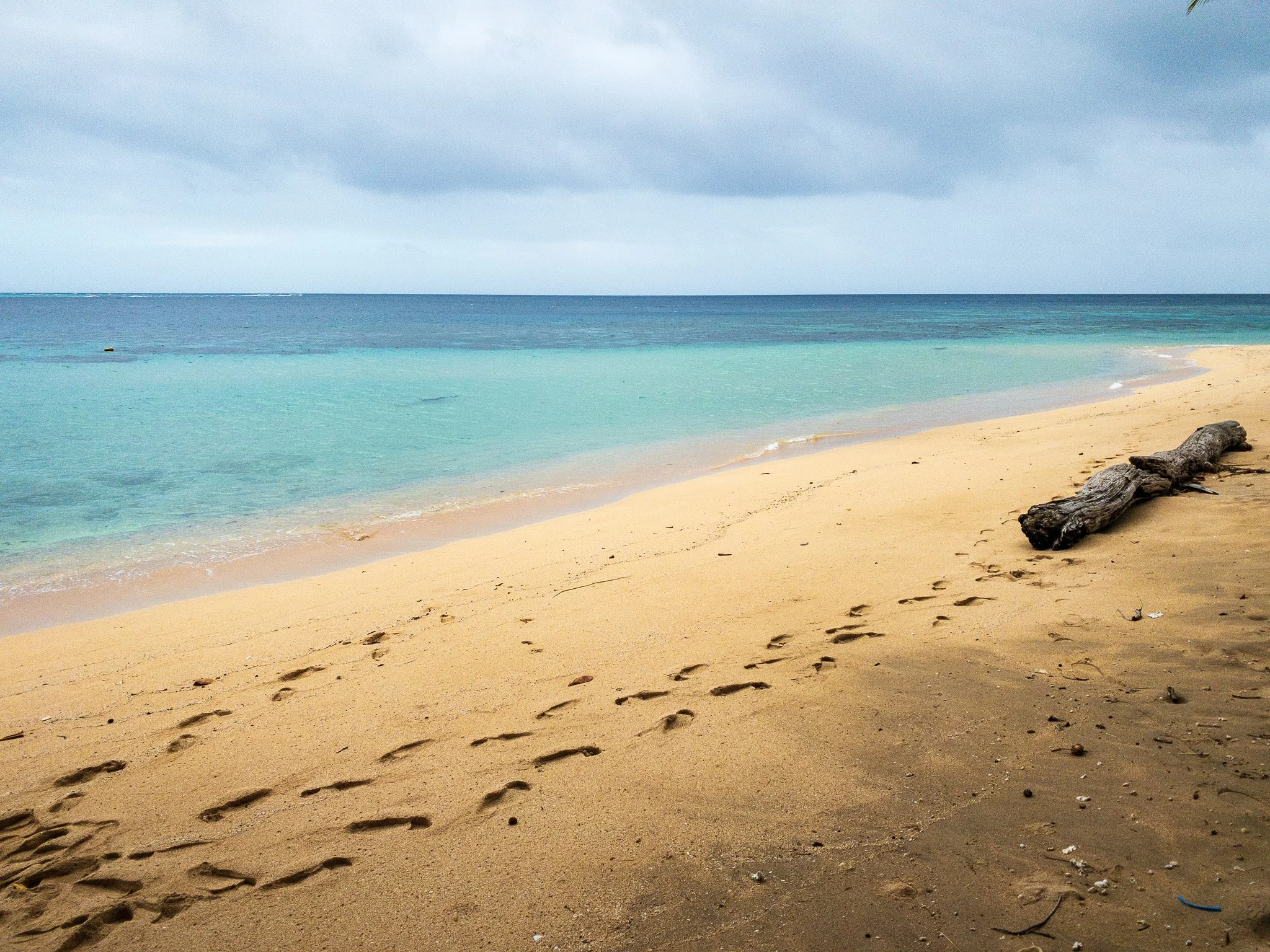
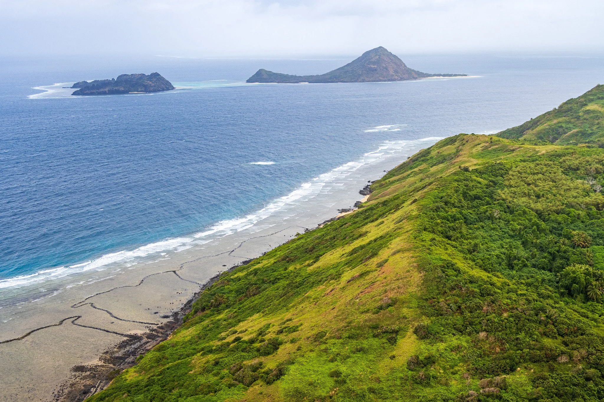
Fish traps (bottom left)
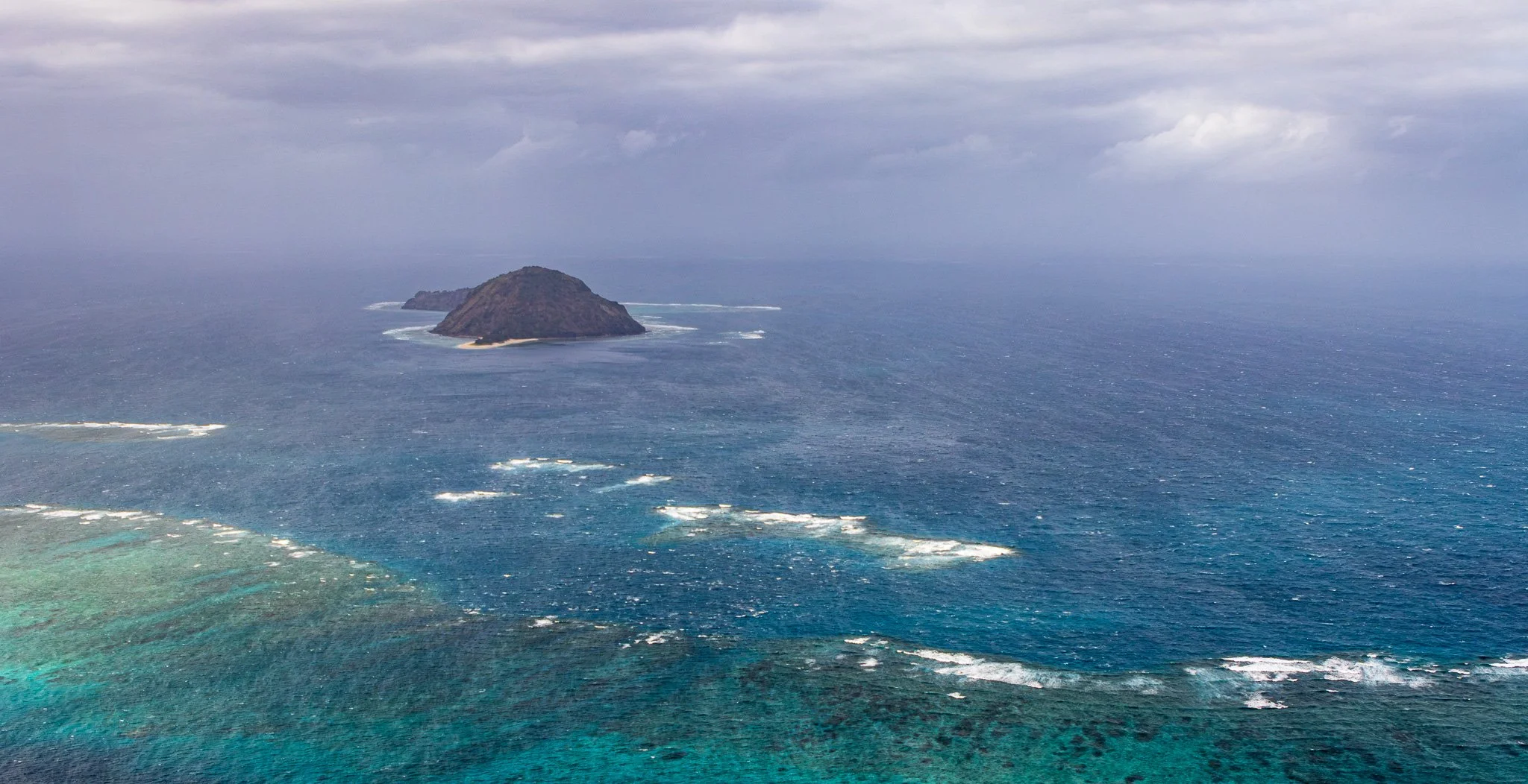
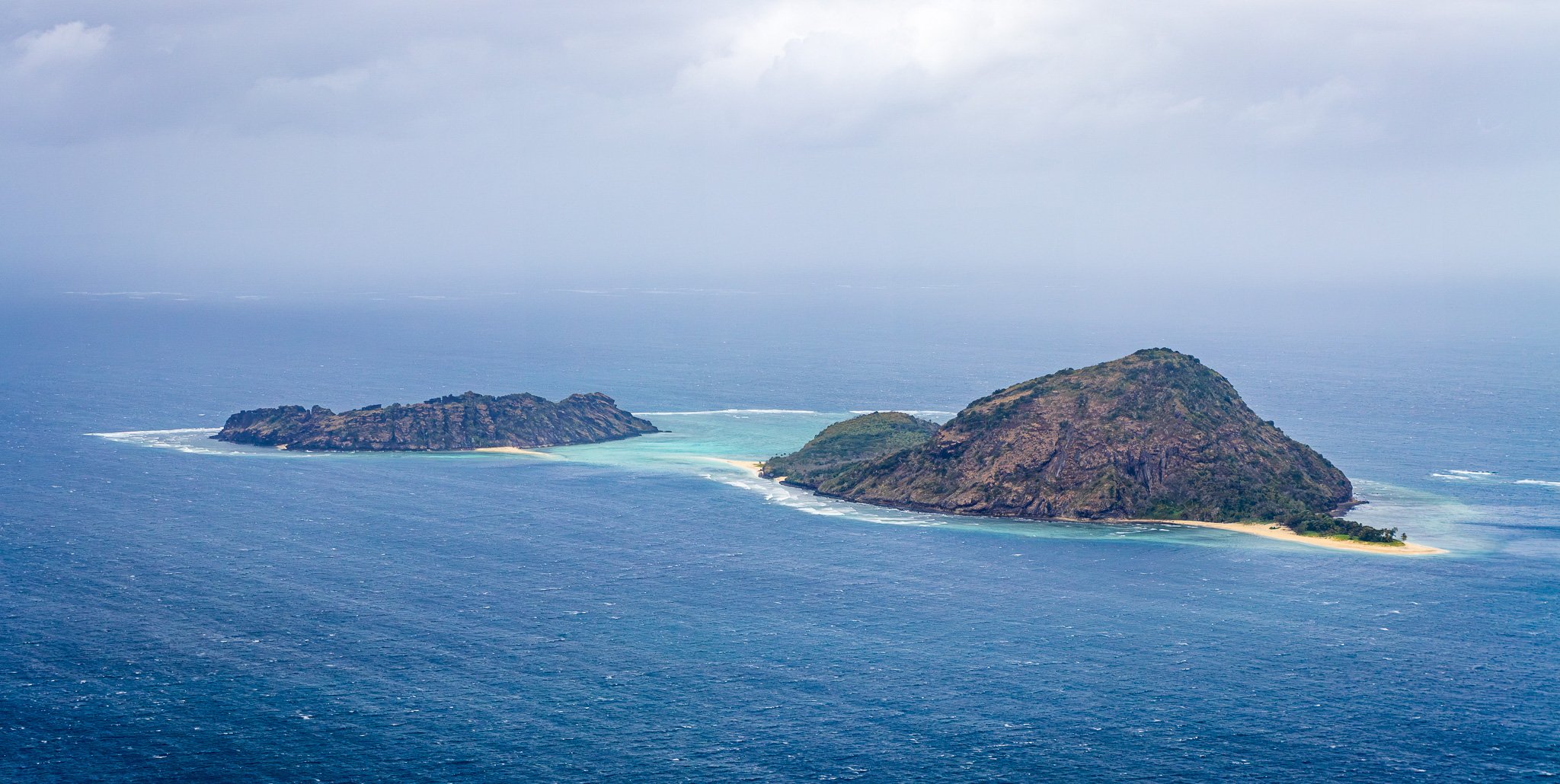
Dowar Islet (R) and Waua (L)
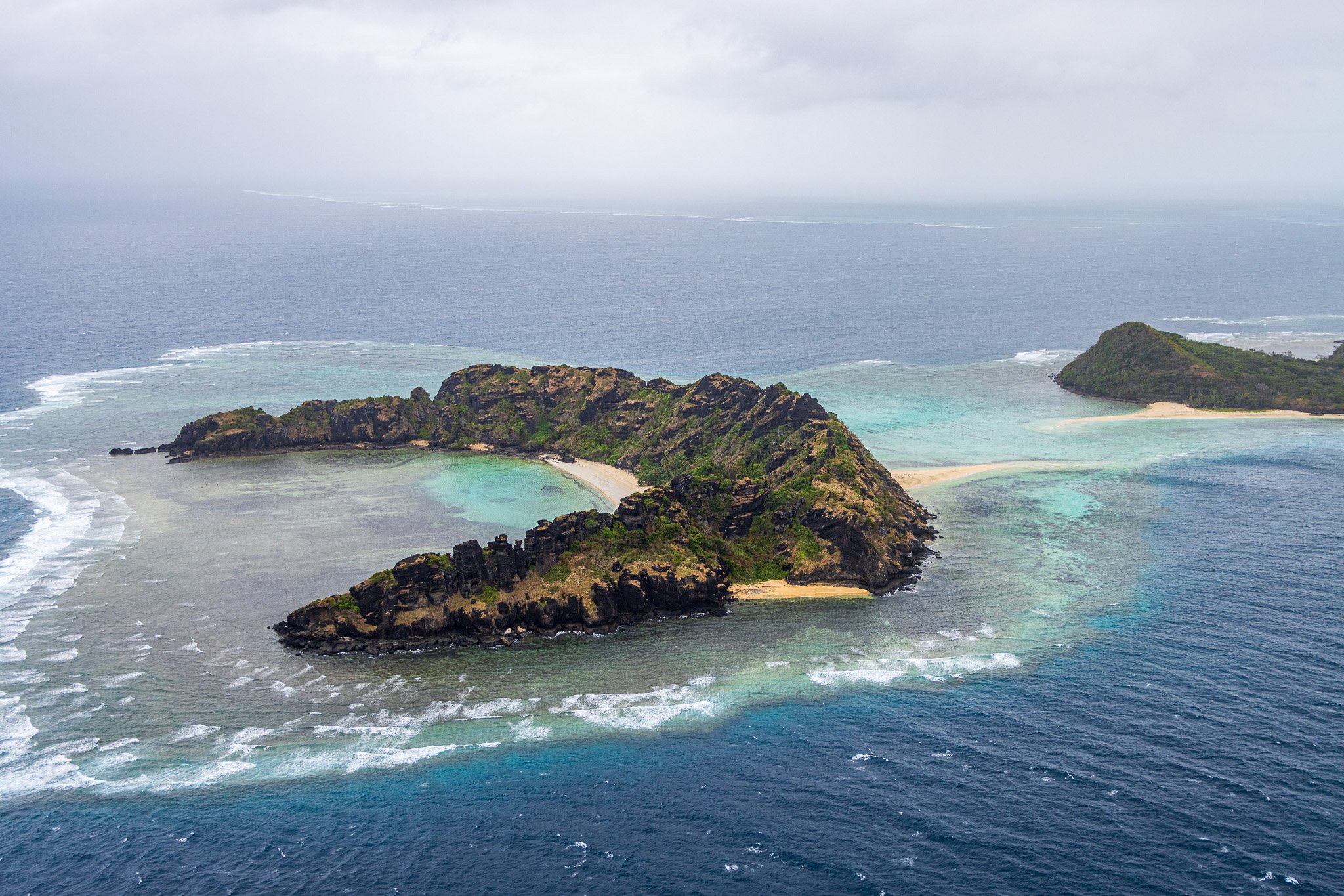
Waua Islet
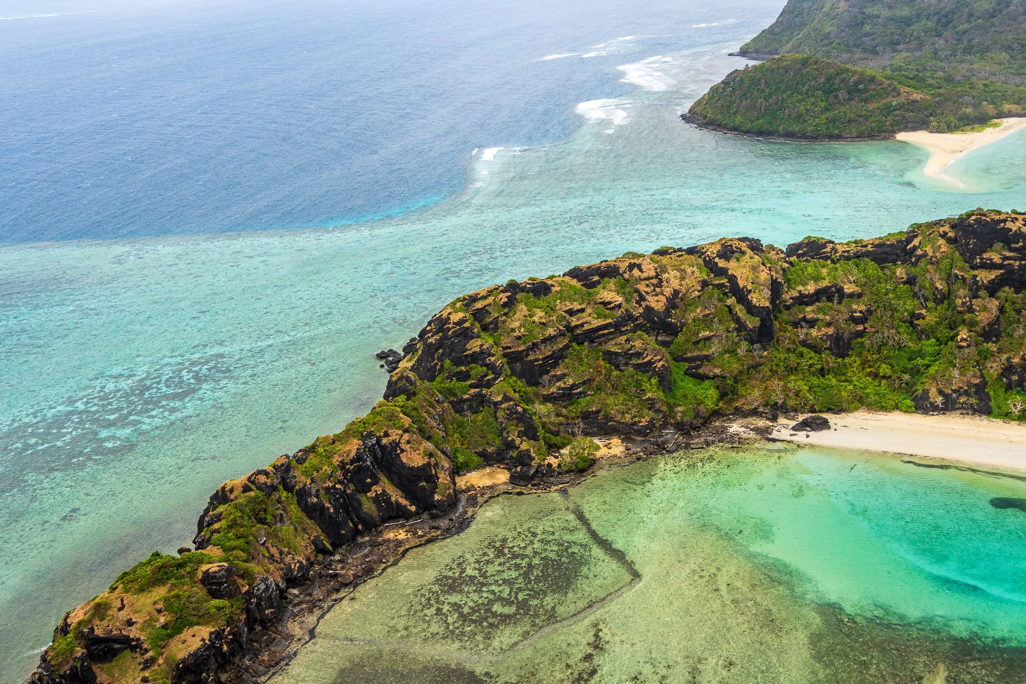
Waua Islet
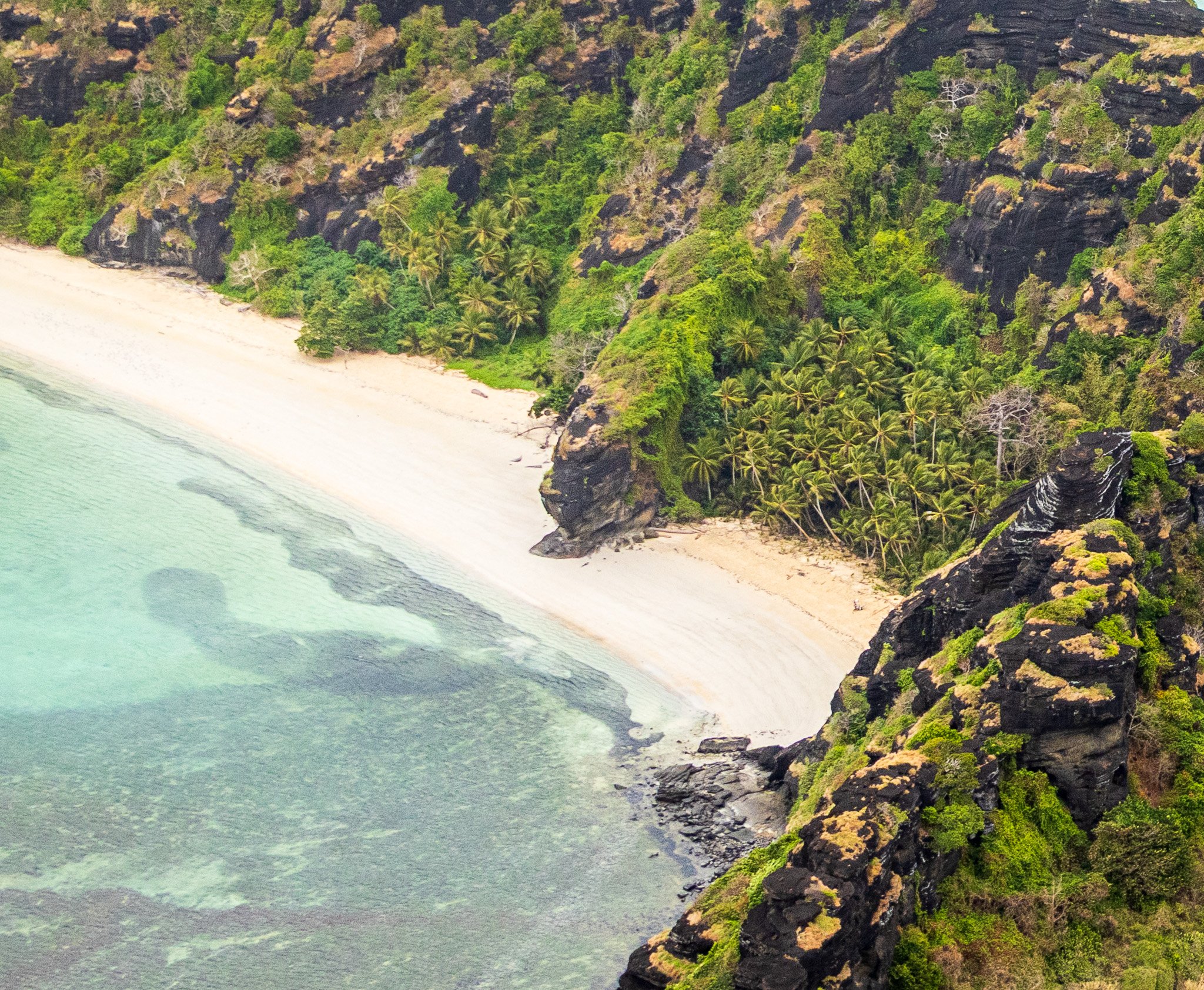
Waua Islet
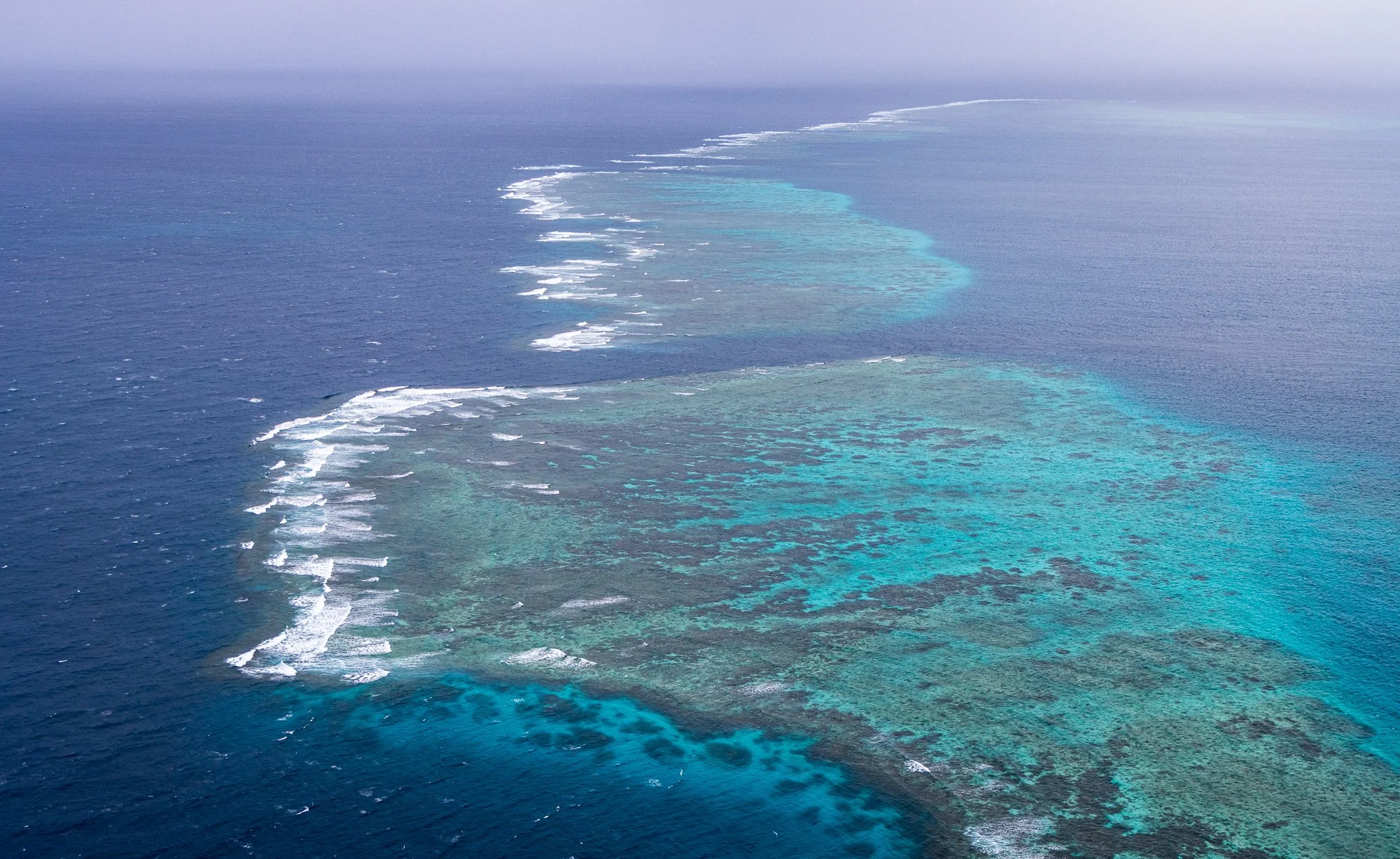
Great Barrier Reef looking S
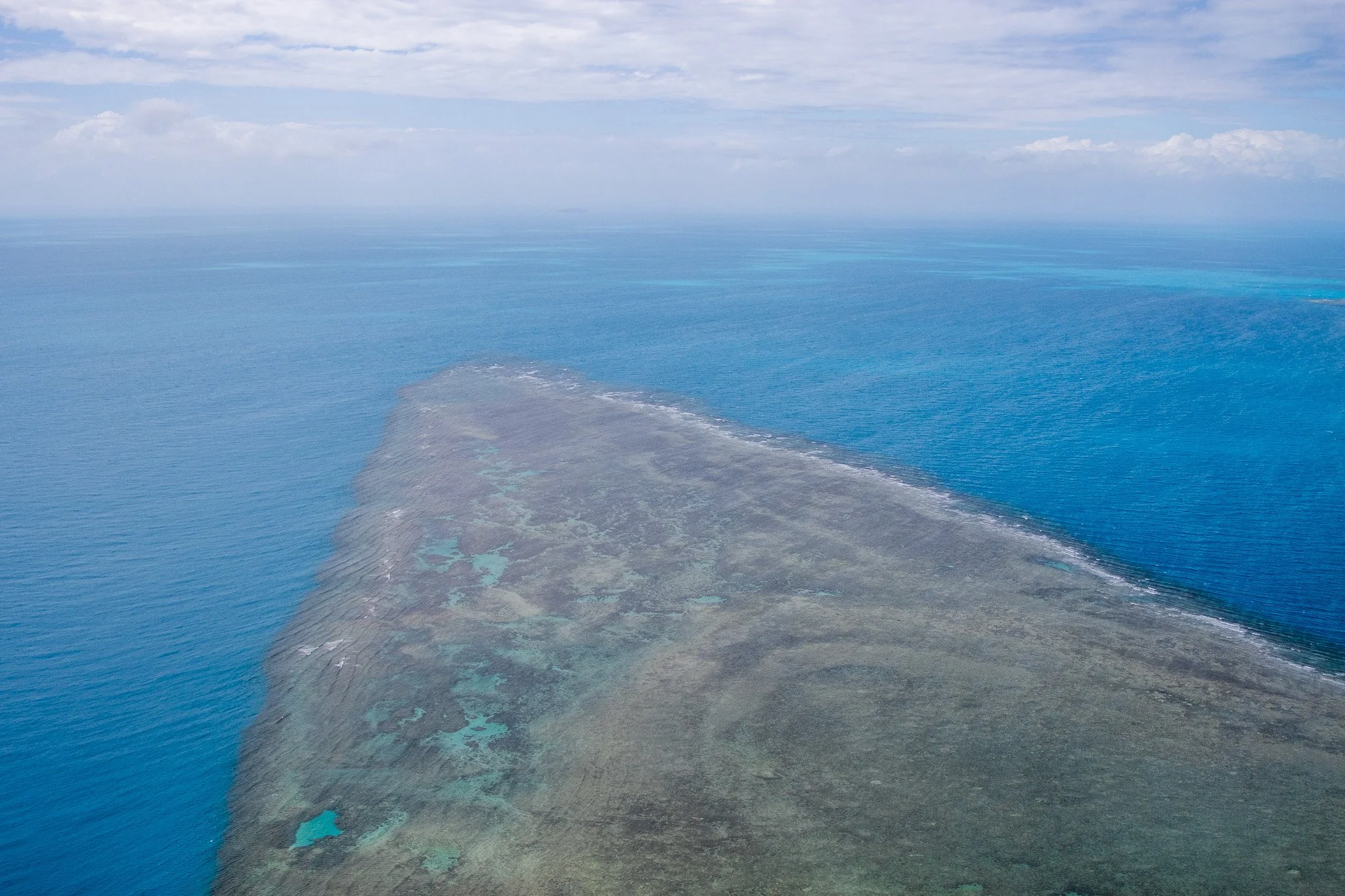
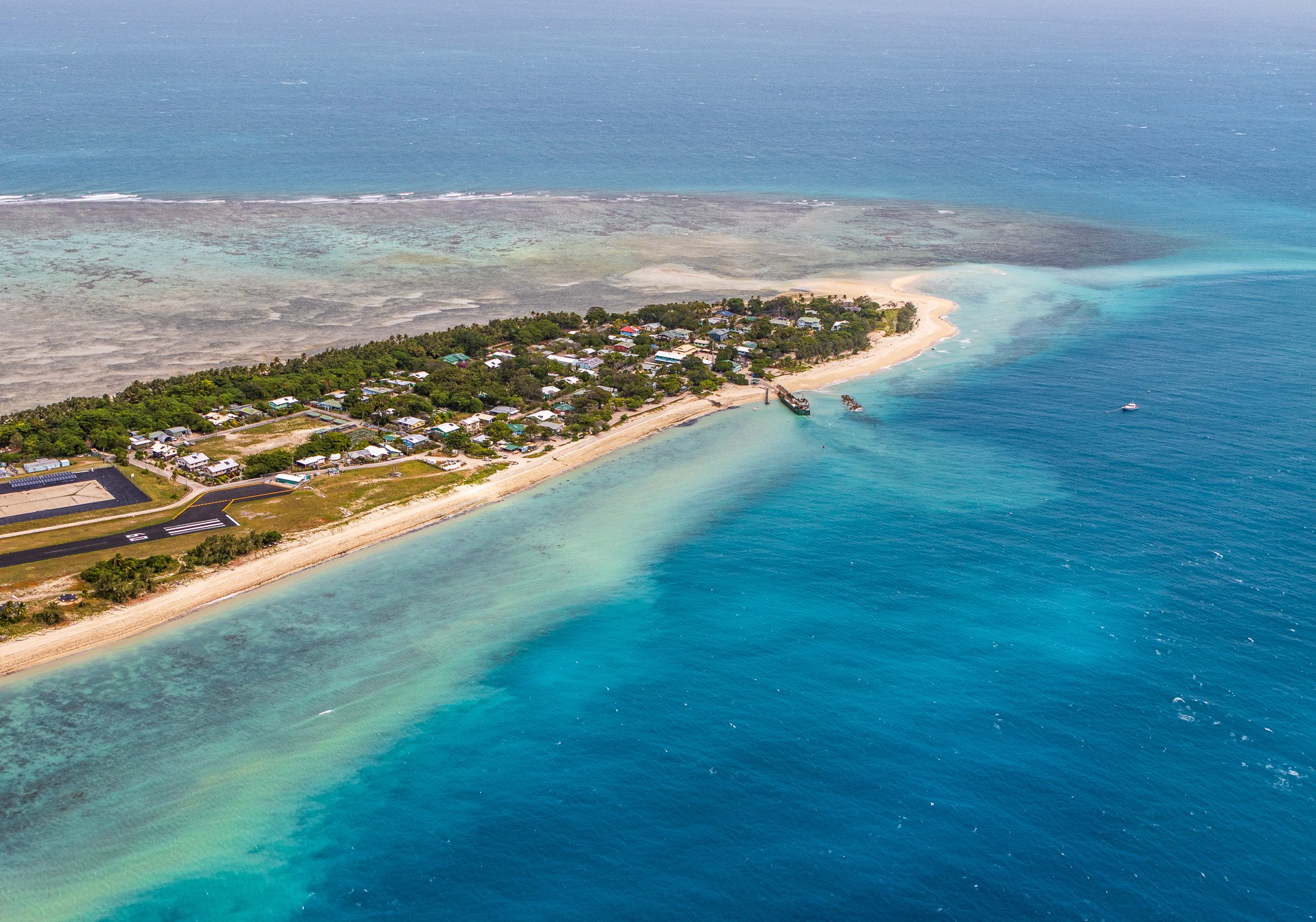
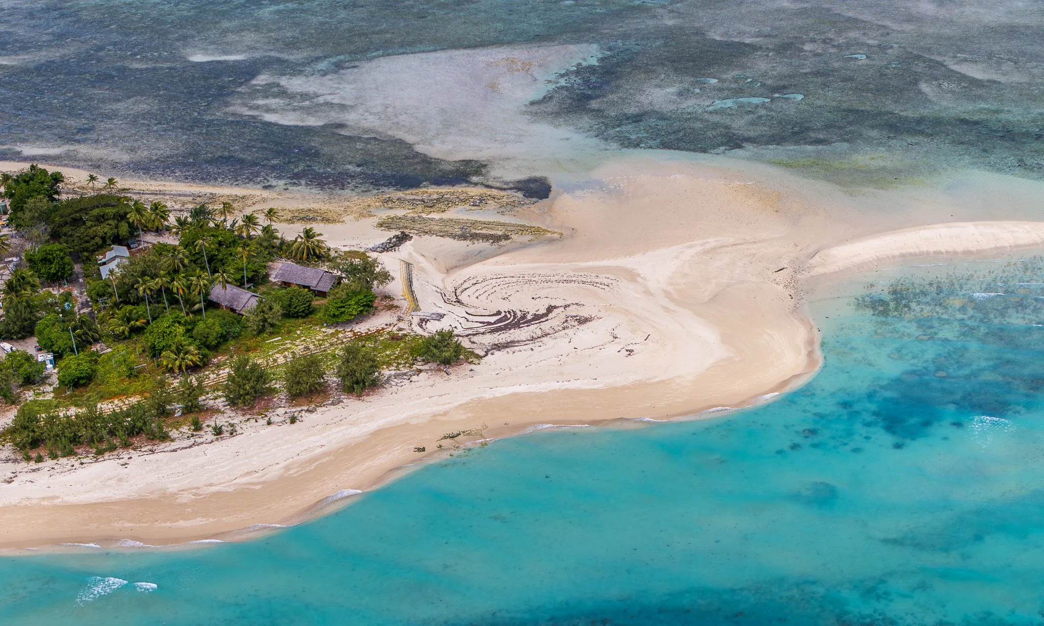
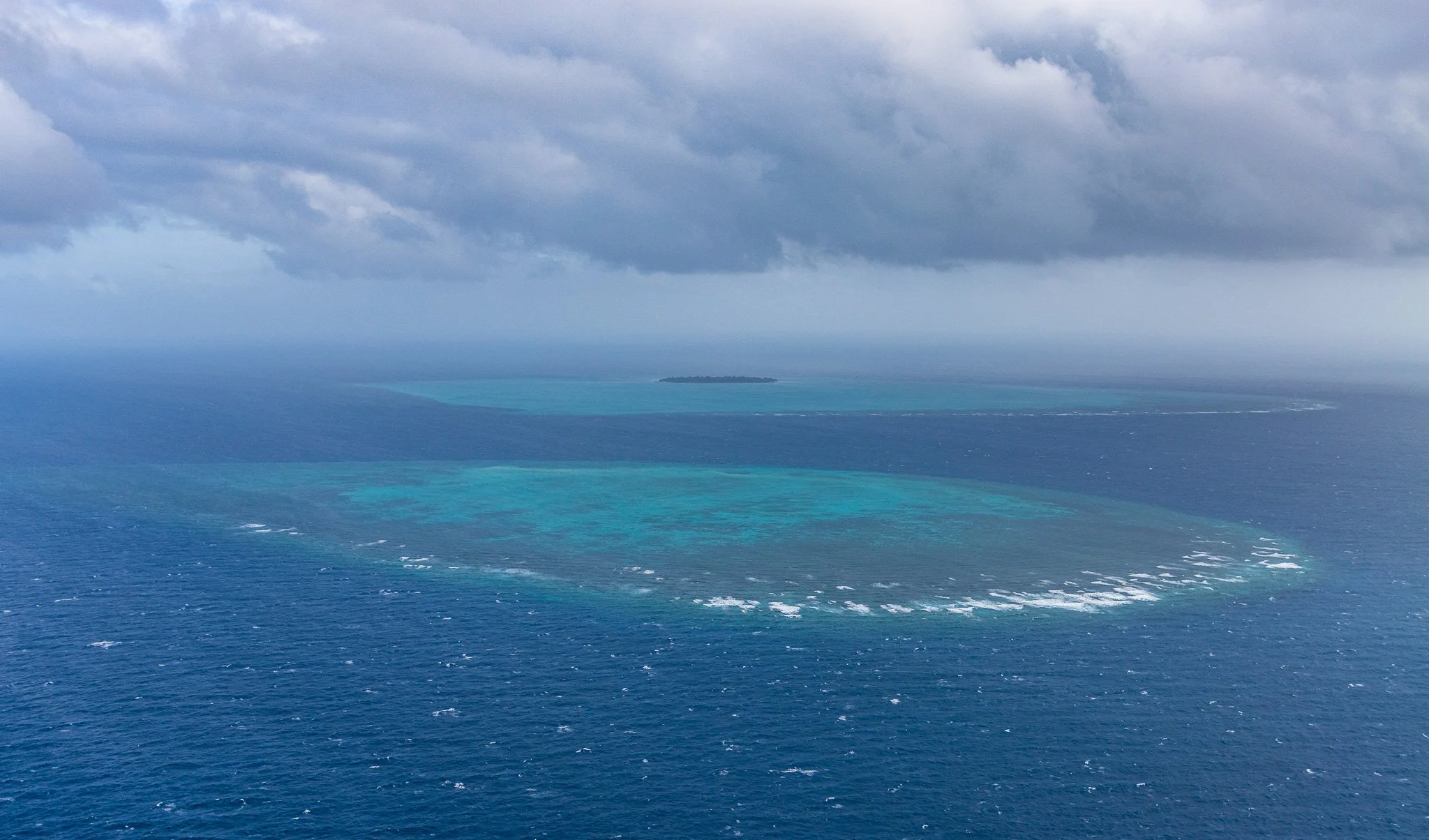
Across the central strait, the coral cays — Poruma, Warraber, Masig — are a different proposition again: accumulations of reef-derived carbonate sand that have built up on reef platforms over the last few thousand years. They have no bedrock older than the reef beneath them. Vegetation is sparse by necessity — salt-tolerant grasses, Casuarina on the beach ridges, low scrub where conditions allow. These are not lush islands. Their profile from altitude is pale sand, low scattered green, and turquoise reef in every direction — a profile unlike anything in the granite west or volcanic east. They are the strait's own creation: land the drowned platform built after the sea arrived.
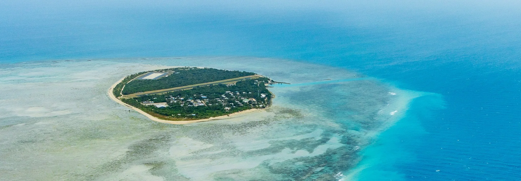
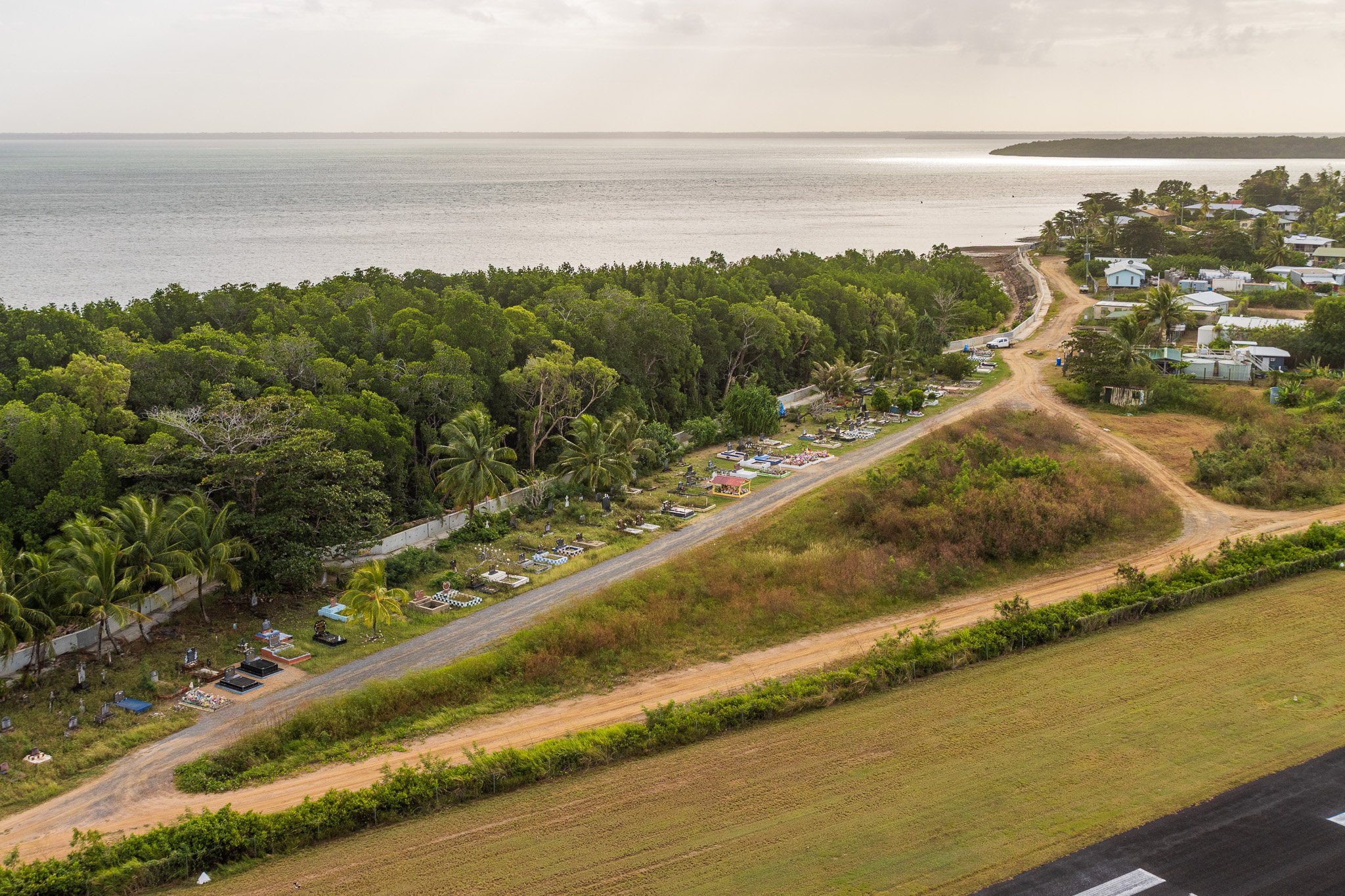
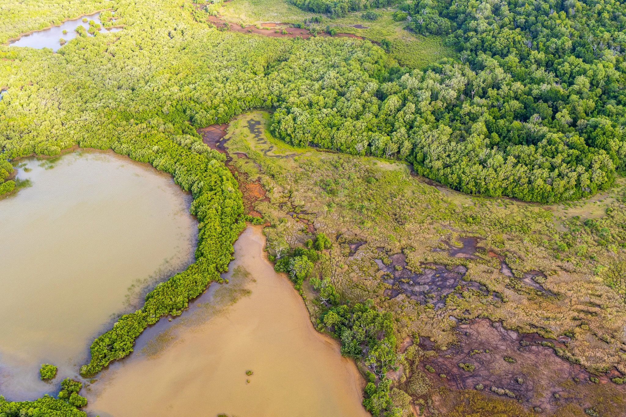
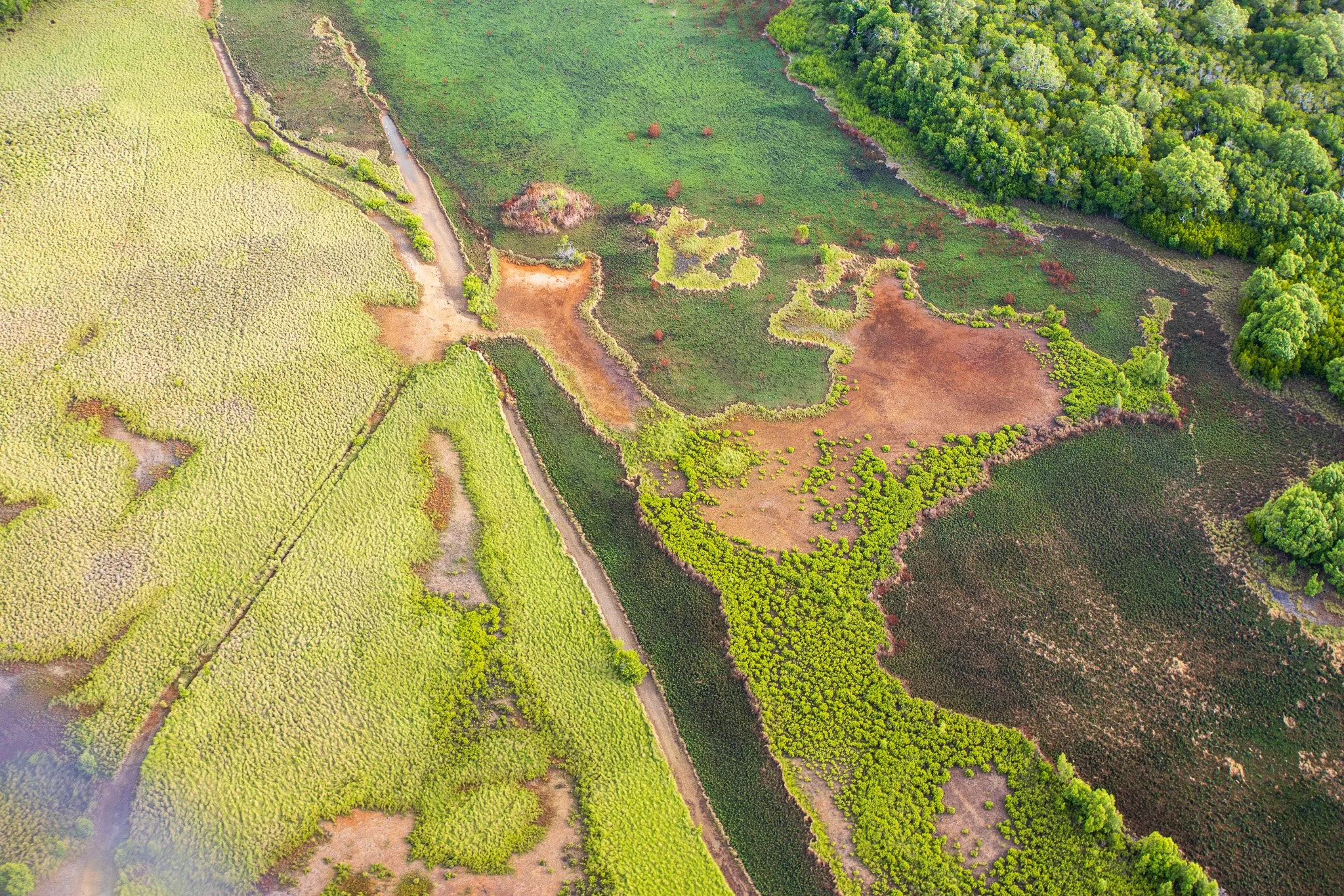
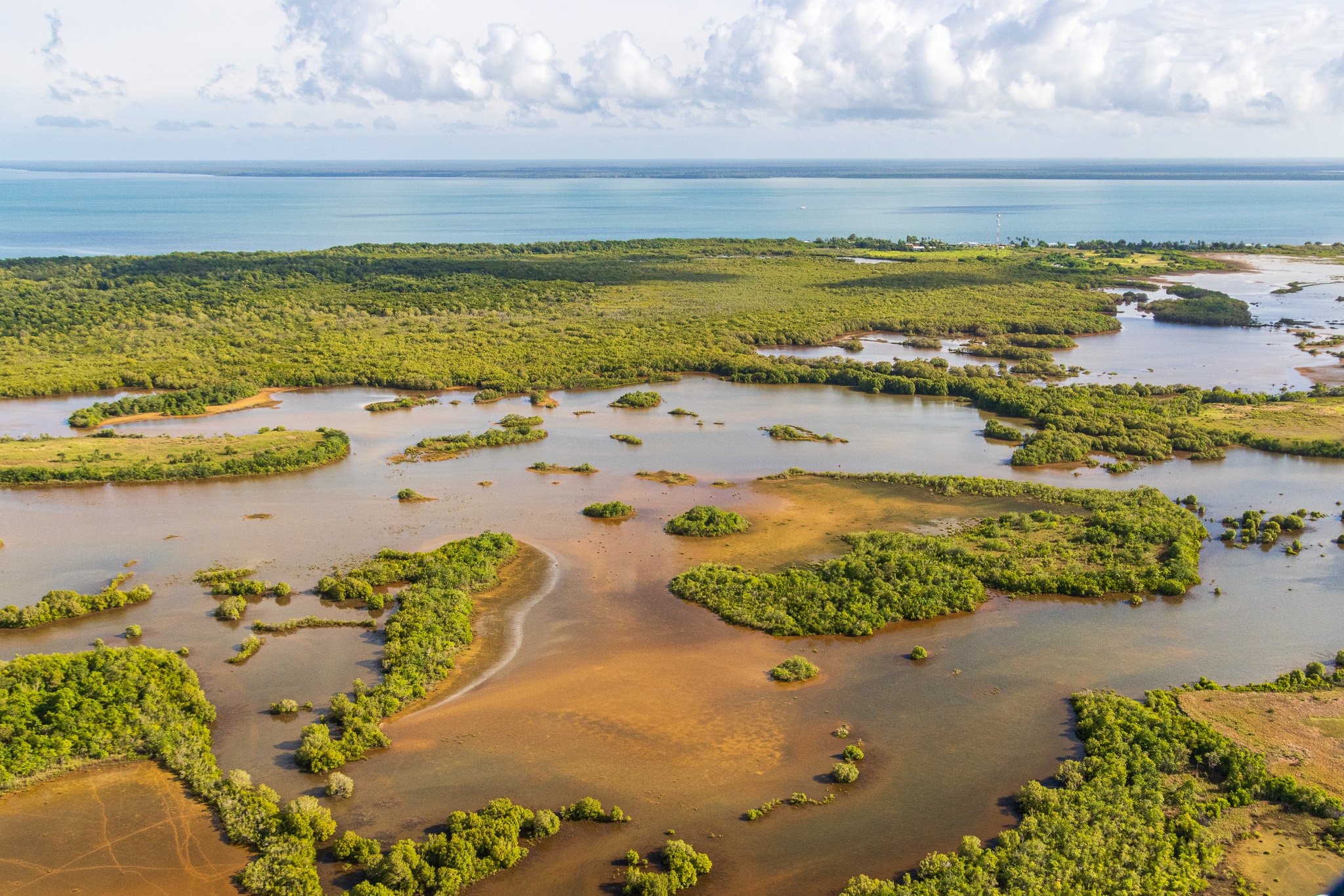
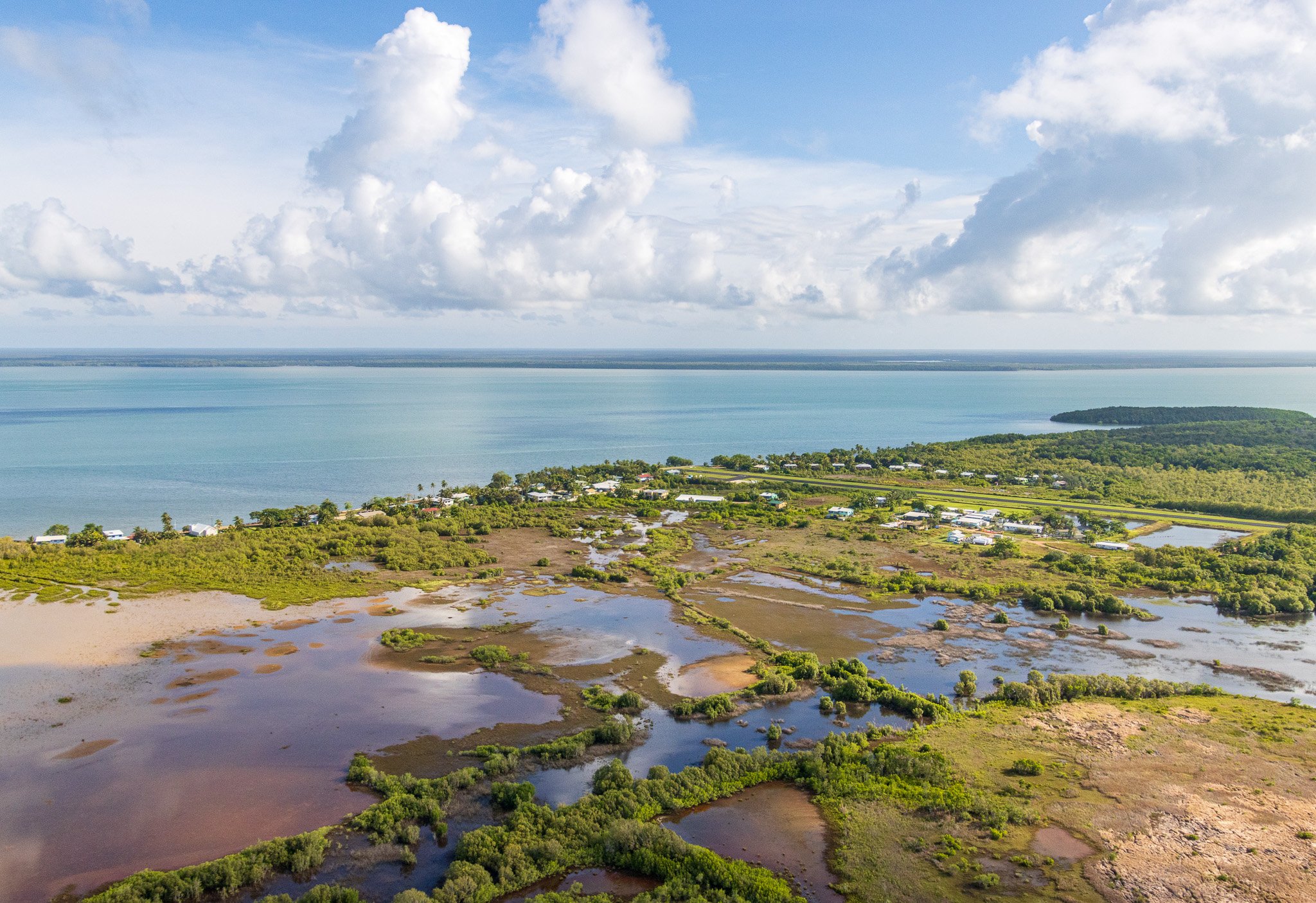
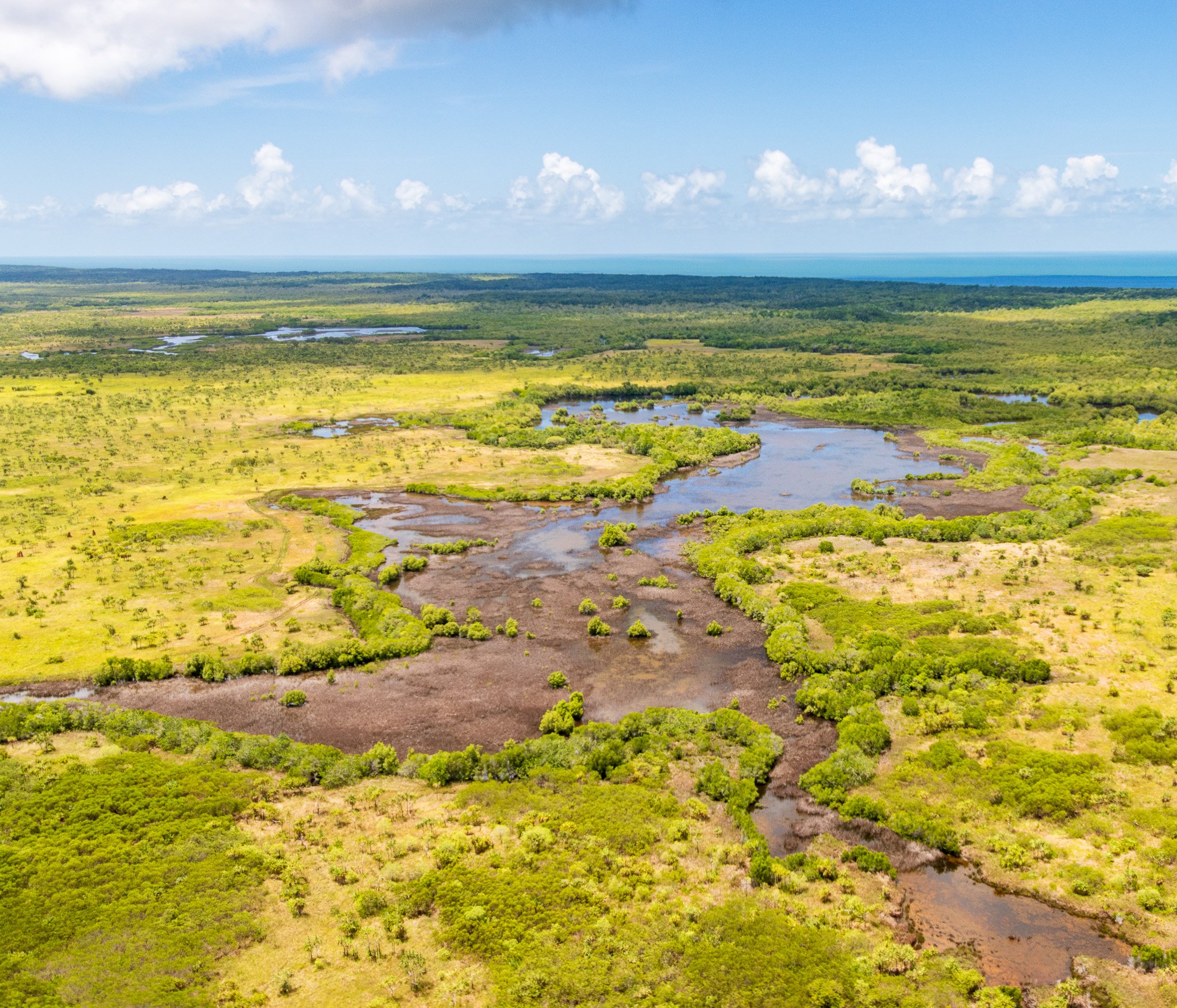
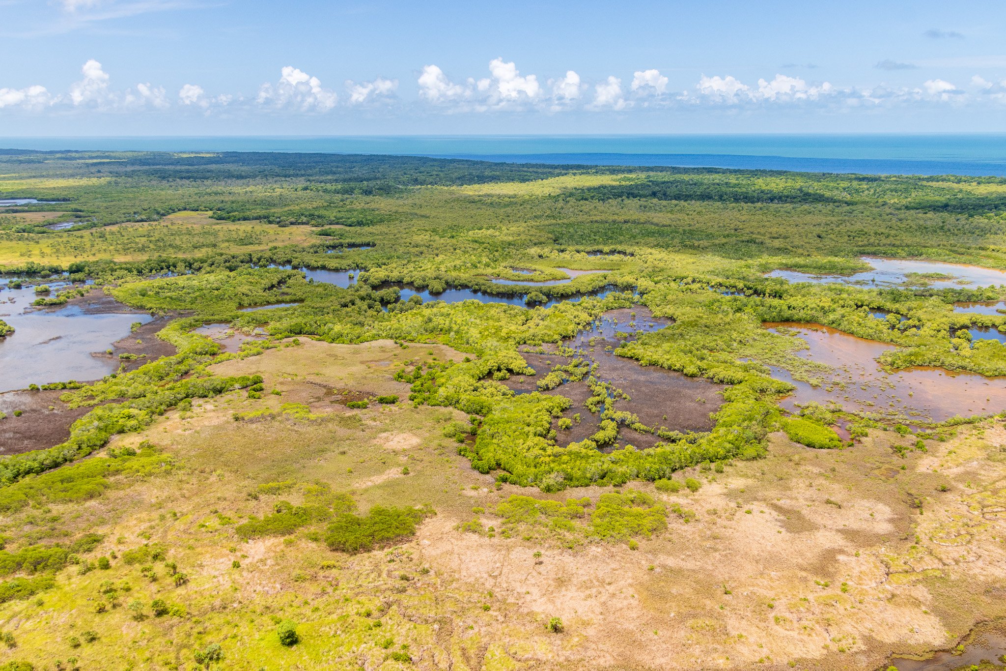
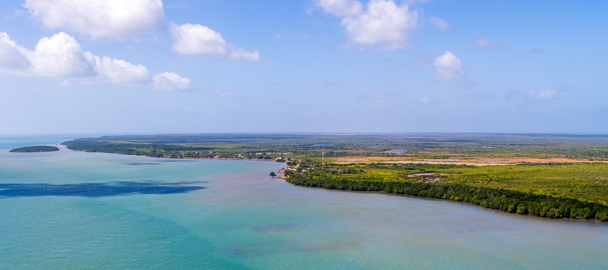
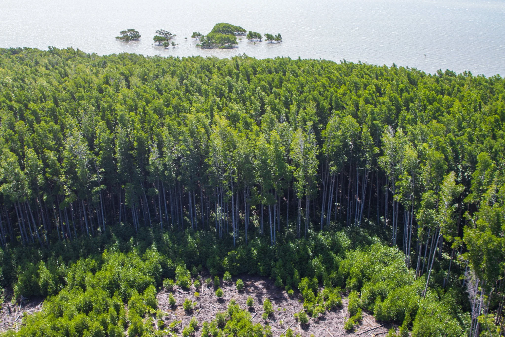
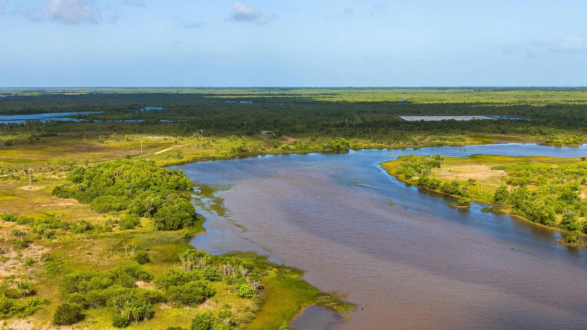
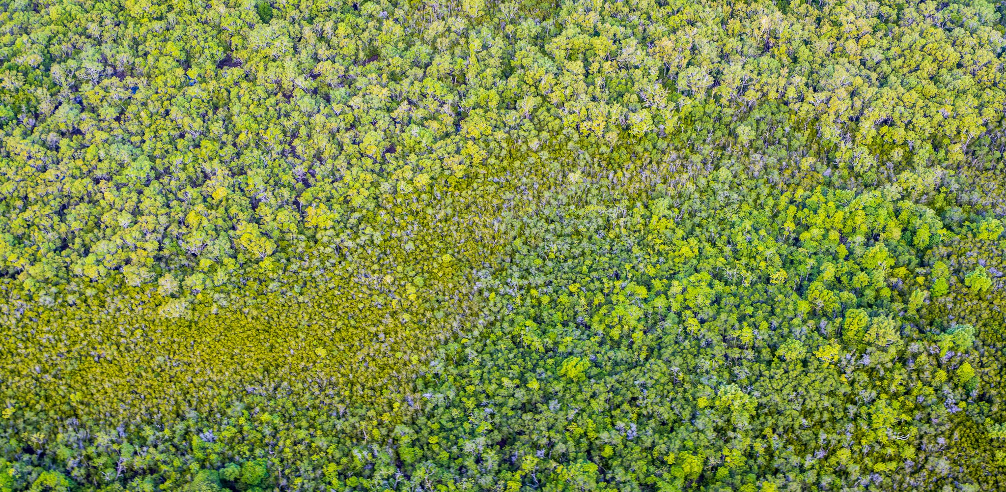
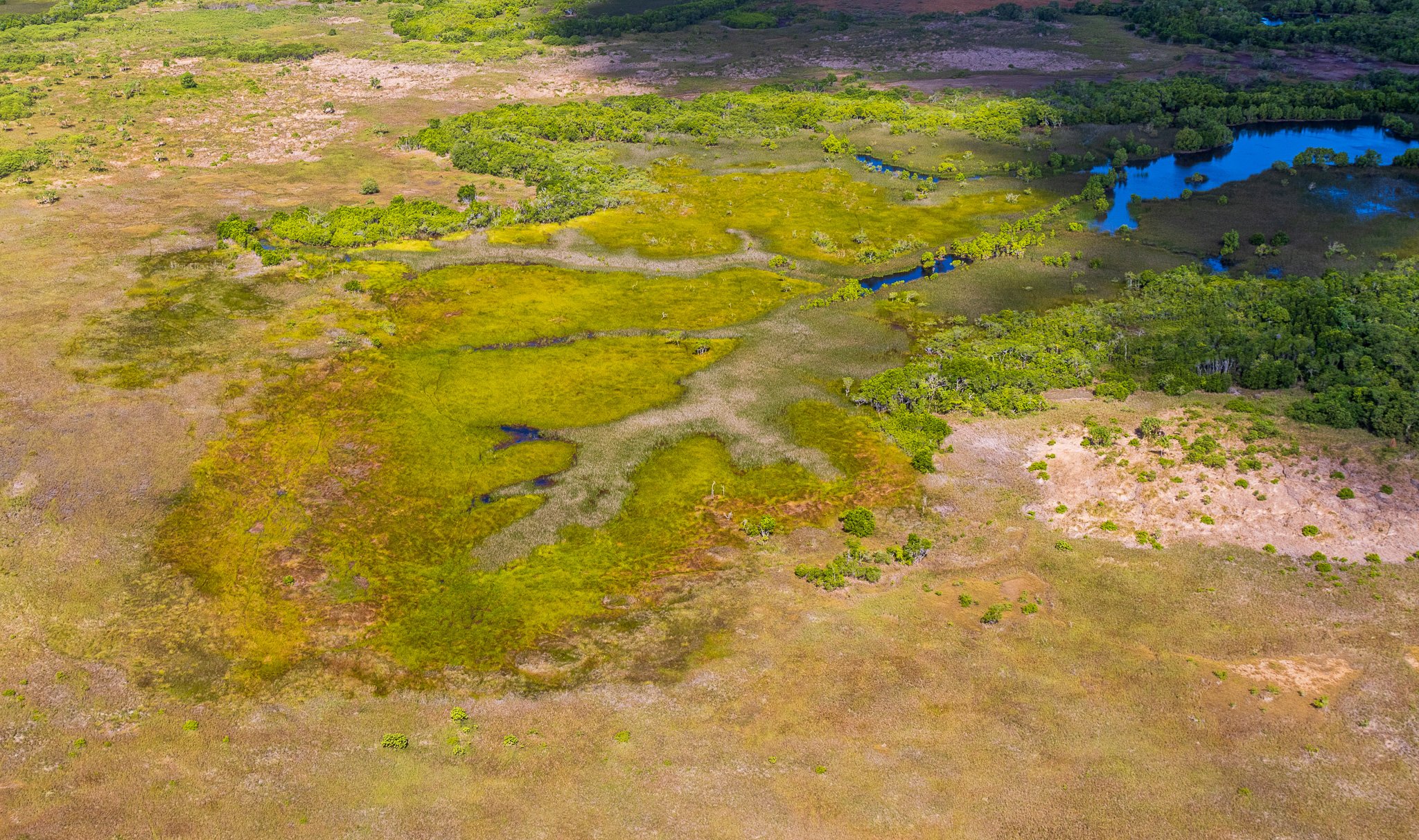
In the far north, Boigu and Saibai are neither granite nor volcanic, nor built upon reef in the way the central cays are. They are sediment islands — flat, low, composed almost entirely of material accumulated over the past few thousand years, derived largely from Fly River sediments and other New Guinea rivers. They did not so much form as accumulate. In the most physical sense possible, they are made of New Guinea — the connection is in their very substance. Boigu sits four kilometres from the New Guinea coast; at low tide on a clear day you can see it from the island's northern shore. And because they are flat sediment lying within metres of current high water, they are also the strait's most exposed ground — a fact the closing of this story will return to.
The tidal engine
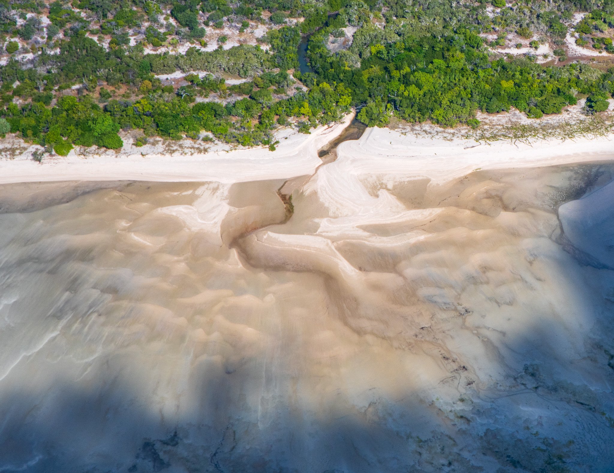
Torres Strait is not a static body of water. The Coral Sea and the Arafura Sea force different tidal regimes from either end of the strait, with water-level differences between the two sides that can exceed several metres during the tidal cycle. The result is some of the most energetic tidal currents in Australian waters: speeds exceeding 2.5 metres per second through the narrow passes between islands and reefs, strong enough to scour bedrock and move sediment continuously. The strait, in other words, is not a wall of water between two seas. It is the passage through which they exchange — a channel, not a barrier.
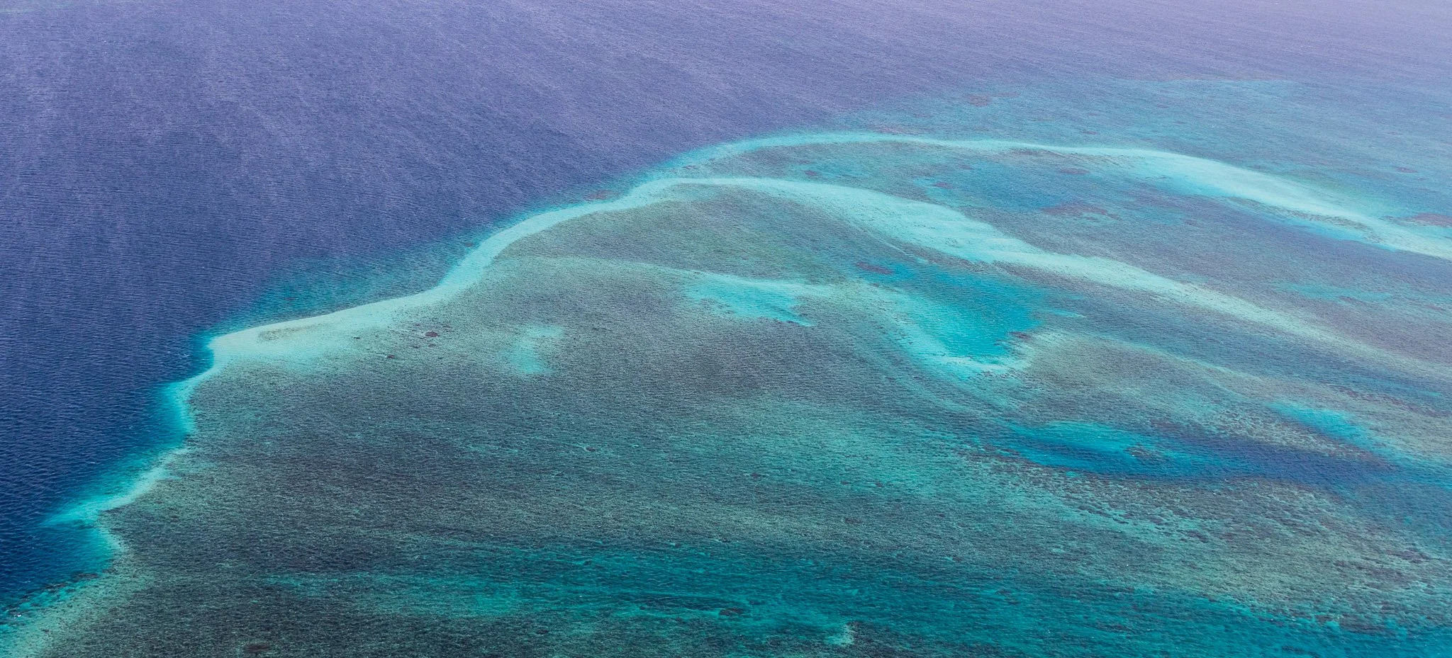
The evidence is everywhere from the air. Dark sinuous lines cutting across pale reef surfaces are tidal channels, continuously shifting as sand is redistributed. Sediment plumes extend from island shores. Sand lobes build and migrate on reef platforms. Many platform reefs show elongation influenced by the direction of dominant tidal flow — their shape a record of the force that shaped them.
The strait runs on two overlapping rhythms. The first is tidal — twice-daily, governed by the competing gravitational pull of the two seas on either side. The second is seasonal, and it reverses the entire character of the place.
For most of the year — roughly April to November — the Woerr wind dominates: the south-east trade wind that drives a consistent swell across the strait, building sand spits on the leeward ends of islands and cays, holding the sea to a reliable chop. Torres Strait Islanders describe Woerr as a forceful wind with a strong personality. It shapes every exposed shoreline. Then, between December and April, the monsoon arrives — the Kuki season, heralded by the build-up of storm clouds and lightning in the far north-west, bringing north-westerly winds, heavy rain, and a reversal of the dominant swell direction that is directly recorded in the asymmetry of submarine bedforms on the reef floor. Annual rainfall is around 1,800 millimetres, falling almost entirely in these monsoon months. Between the two comes a brief transitional season — Zey, a shifting southwesterly that Masigalgal communities describe as a jealous wind that fights with both its neighbours.
The practical consequence of this reversal, visible from altitude in the sediment plumes and sand lobe patterns of the reef surface, is that the strait does not simply accumulate sediment in one direction. It breathes — pushing material one way for eight months, then the other for four. The shape of every island in Torres Strait is a record of this annual argument between two wind systems.
The elongated sand spits extending from the leeward ends of cay islands point directly downwind of the dominant Woerr season, built grain by grain over centuries. From altitude, each cay's shape is a compass.
None of this is idle physics. Tides, currents, seasonal winds and reef behaviour are precisely the things a navigator has to read to move safely between islands — the knowledge that turns an energetic, reef-choked waterway from an obstacle into a set of routes. More than 1,200 coral reefs span this continental shelf, their growth on the inundated platform initiated approximately 7,000 to 8,000 years ago — early in the current Holocene period. It was this labyrinth that Luis Vaz de Torres spent weeks navigating in 1606 — the first recorded European transit of the strait that now bears his name. It was a labyrinth Islander mariners already knew as home water.
Living landscape — ecology shaped by geology
The five geological island types of Torres Strait don't just look different from altitude. They function differently — supporting distinct vegetation communities, fauna assemblages, and ecological processes determined directly by their underlying rock, elevation, and drainage.
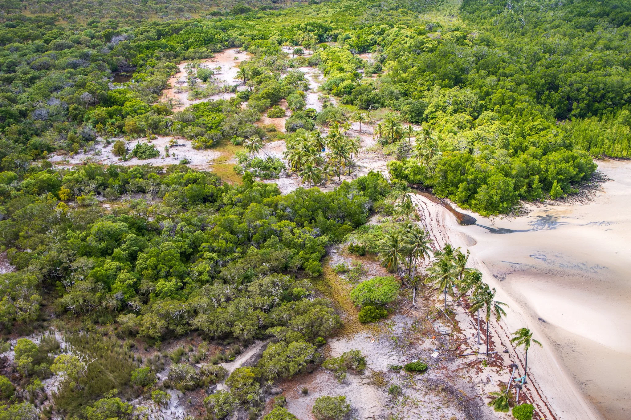
The granite western islands carry the most complex terrestrial ecosystems in the strait. Badu supports nearly 600 plant species — and only five percent of its vegetation consists of introduced species, the lowest proportion of any Torres Strait island, a measure of how intact this system remains. The relief that granite provides, and the freshwater that drains from it, creates the conditions for monsoon vine thicket and evergreen vine forest on the slopes — closed-canopy rainforest communities impossible on a flat sediment island or a carbonate cay. Vine forest on Badu occurs specifically on the granite boulder outcrops, where the rock surface retains moisture and moderates temperature. One of the more unusual features visible on Badu's slopes is Cycas badensis, a cycad endemic to Badu and Moa Islands alone — a species that exists nowhere else on Earth, a product of these specific islands' geological isolation. At the shoreline, the granite meets the tidal flat with extensive mangrove fringes — freshwater seeps from the catchment delivering the nutrients that mangroves need to establish and persist.
The volcanic eastern islands are ecologically distinct in a different direction. Basaltic soils are deeply weathered, red, and nutrient-rich — the most fertile substrate of any island type in the strait. Dense vine thicket covers Mer from crater rim to shoreline. On Erub (Darnley Island), hillslope erosion from the volcanic terrain is actively delivering basaltic sediment to the surrounding reef flat, creating new substrate on which mangroves are expanding — a rare geology-to-ecology cascade in which the island is physically building its own ecological margin in real time.
The coral cays operate on a different logic entirely. No soil. No elevation. No freshwater catchment. The only closed-canopy vegetation possible on pure carbonate sand is Pisonia grandis — a tree in the Bougainvillea family that forms the low dark-green dome visible at the centre of every coral cay from the air. Pisonia forests are globally rare; on Torres Strait cays they are sustained largely by seabirds, whose guano drives the nutrient cycle that supports both the trees and the insects, reptiles, and small animals beneath them. The Pisonia seed is sticky — it disperses by attaching to feathers, which means seabirds plant the forest, and the forest shelters the seabirds. This tight interdependency makes coral cay ecosystems among the most fragile in the strait: remove the birds or the trees and the whole system unravels.
The northern delta islands — Boigu and Saibai — are almost entirely wetland. Boigu is totally saline, with no areas of freshwater anywhere on the island; its vegetation is almost entirely mangrove forest, open brackish water, and samphire salt flat. From the air this reads as a dark mangrove platform with pale water flats between stands. Paradoxically, this ecological simplicity makes Boigu and Saibai two of Australia's most significant birding locations — their proximity to the Trans-Fly region of New Guinea means Papuan bird species regularly appear that are rarely or never seen elsewhere in Australia. The same sediment connection that built these islands geologically is the biological bridge that brings New Guinea's fauna across.
Beneath the water, the seagrass meadows of Torres Strait form one of the most extensive marine plant communities in the world — thirteen species recorded across the strait's open floor, reef flats, and deeper waters. The largest dugong population on Earth grazes these meadows, concentrated particularly in the Dugong Sanctuary established in 1985 to the west of Cape York. From altitude, seagrass is readable as dark grey-green patches against pale carbonate sand — the same aerial transparency that makes the water colour meaningful also makes the marine ecology legible.
Zenadh Kes — sea country
Everything the geology has laid out — granite sharing its rock with Cape York, basalt reaching toward New Guinea, a breathing tidal channel that joins two seas — is answered here, in the people. The Torres Strait Islander peoples have inhabited these islands since before the strait fully formed. Their connection to this sea country is among the longest and most continuous relationships between a people and a marine environment anywhere on Earth. They are not a people the sea stranded on scattered islands. They are a people who kept a drowned country connected.
Five major cultural groups exist within the broader identity: the Saibailgal of the top western islands, the Maluilgal of the near western group, the Kaurareg of the inner islands and southern channel, the Kulkalgal of the central cays, and the Meriam Le of the eastern volcanic group — the five groups represented in the five points of the star on the Torres Strait Islander flag. Read against the geology, the human map and the rock map are the same map: five peoples across five kinds of island, the whole archipelago held together as one sea country.
Nowhere is that clearer than at the strait's edges. The Kaurareg of the inner islands — closest to the mainland — held ceremonial, marriage and trading alliances with Aboriginal groups of Cape York, to whom they are closely related, occupying the linking position in a network that ran from the peninsula out into the strait. At the opposite end, the eastern Meriam looked and traded toward New Guinea. The strait did not sit between two worlds. It joined them, and the Islander peoples were the join.
Two distinct languages carry the same story. Kala Lagaw Ya — with four dialects across the western and central islands — is linguistically related to the Aboriginal languages of mainland Australia. Meriam Mir, spoken on the eastern islands, is a Papuan language. The linguistic divide mirrors the geological geography exactly: western islands sharing their ancient granite with Cape York; eastern islands volcanic, with cultural and linguistic origins reaching toward New Guinea. The rock and the tongue point the same way.
The knowledge systems that developed over millennia — reading tides, currents, seasonal wind patterns, reef behaviour, fish movements — continue to complement and extend modern scientific understanding of this environment. From the air, the human geography of the strait is immediately visible: communities on low-lying islands, surrounded by reef on all sides, the open ocean never far away, and the water between them not empty but travelled.
The strait keeps being crossed
If the deep story of Torres Strait is a connection the sea drowned but never broke, the recorded history is the same story told again and again — the crossing remade in every era, by everyone the strait drew in.
European contact began in 1606, when Luis Vaz de Torres navigated the strait westward toward Manila, spending weeks threading through what he described as a labyrinth. His passage was kept secret by the Spanish crown until 1764.
From the 1860s, the discovery of commercially viable pearl shell transformed the strait. Torres Strait became one of the world's largest producers of pearl shell, with the industry employing a substantial proportion of the island workforce. Thursday Island — Waiben — became the commercial hub, its harbour dense with luggers crewed by Torres Strait Islanders, Japanese, Malay, Filipino, and Pacific Island workers. Queensland annexed the islands in 1872 and 1879, the second annexation explicitly extinguishing Islander land rights without compensation.
The rise of Thursday Island as the administrative and commercial capital of the strait is a story of geography as much as politics. Waiben — the name means "the dry island" in Kaurareg — had no permanent water supply and no permanent Kaurareg settlement before European arrival. It was chosen not for its resources but for its deep harbour, sheltered port, and direct access to the main shipping channel. The administrative centre moved from the Somerset outpost on Cape York to Thursday Island in 1877; by 1884, Port Kennedy on its eastern shore had become the principal port for cargo trans-shipped to the Gulf country at Normanton, and the operational hub of the pearl-shell and bêche-de-mer fisheries across the entire strait.
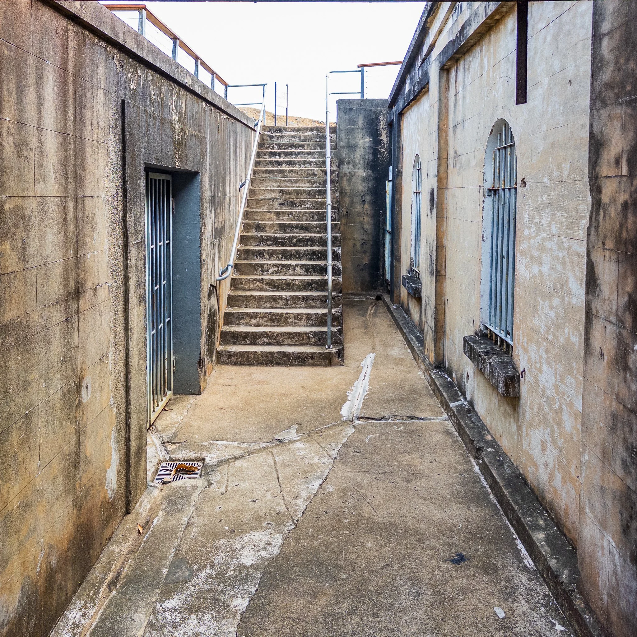
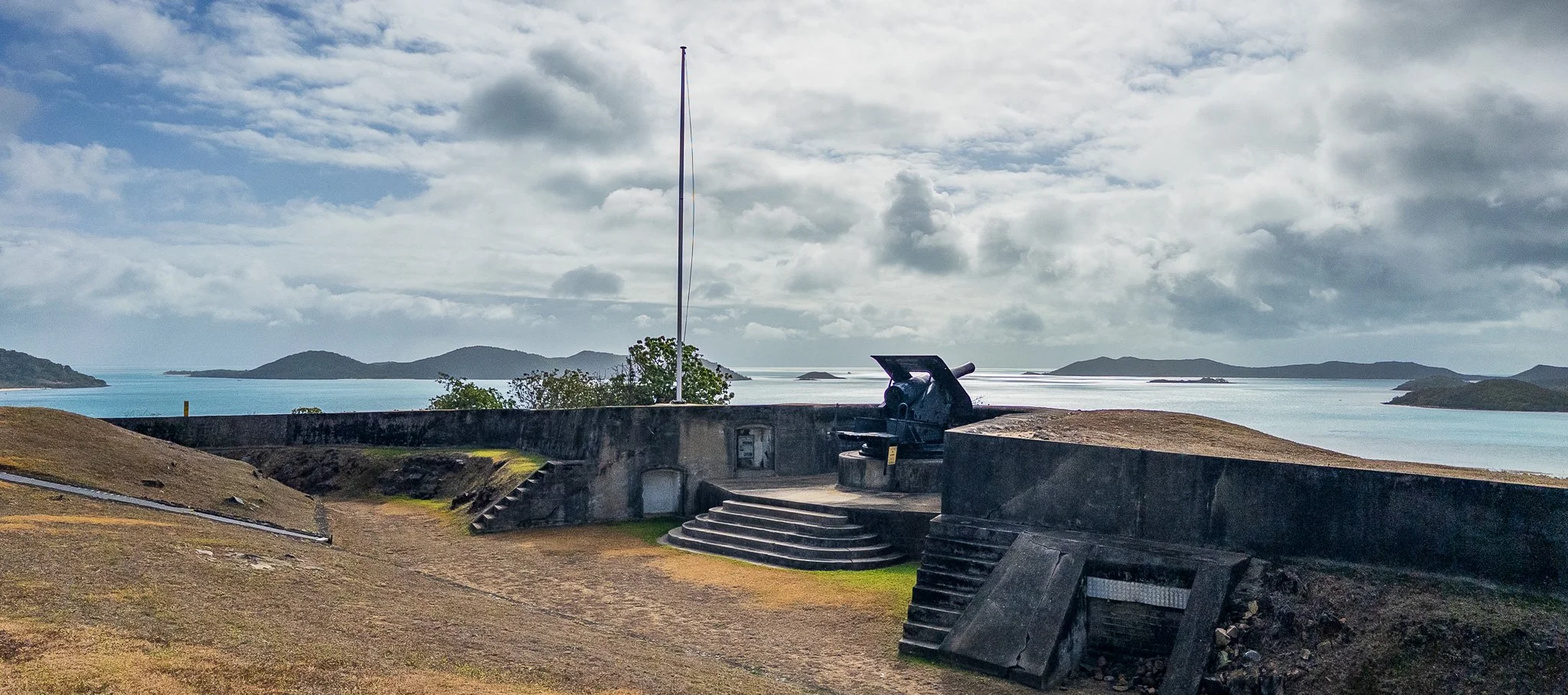
In 1884, former Queensland Premier John Douglas was appointed Government Resident and opened the island to private settlement — within years it had hotels, stores, schools, a Burns Philp trading house, a coaling station for the international shipping route, and a fort at Green Hill armed to protect the harbour entrance. By 1903, its population of roughly 1,500 people included Australians, Europeans, Japanese, Melanesians, Filipinos, Chinese, and Malays — one of the most ethnically diverse communities in colonial Australia, assembled entirely by the economics of pearl shell. Horn Island, directly across the channel, hosted more than 5,000 troops as a strategic air base during World War II; today it remains the air hub for the outer islands and the Cape. Thursday Island's dense settlement pattern — visible from altitude as a compressed grid of buildings on a 4.25 square kilometre footprint — is the direct physical legacy of this history: a small island that became a city because the sea demanded it.
The colonial period imposed systematic control over Islander lives. The Queensland government's Department of Native Affairs ran "company boats" — pearl luggers built and operated by Torres Strait Islanders but legally controlled by a government-appointed Protector, who decided who crewed each vessel and enforced a nightly curfew by whistle across every inhabited island. Workers were paid not in wages but in credit, redeemable only at government-specified stores.
In January 1936, 400 Islander pearl divers went on strike. For seven months across every island in the strait, workers refused to crew the company boats. At least 30 strikers were imprisoned. By September, the government had conceded: the curfew was abolished, wages were increased, Islanders could choose their own crews, and elected Island Councils — the first genuine devolution of community governance — were established in 1937.
Then, in the late 1940s, the strait made one of its most literal crossings. On low-lying Saibai in the far north, a run of severe king tides during the wet season damaged gardens and fouled the freshwater supply — the flat sediment island doing what flat sediment islands do when the sea runs high. Families made the decision to leave, crossing south to the Cape York mainland to build new lives on higher ground. It was the drowned plain's first lesson repeated in living memory: when the sea takes the low ground, people adapt and move — and the strait remained, as it always had, a world held together across the water rather than divided by it.
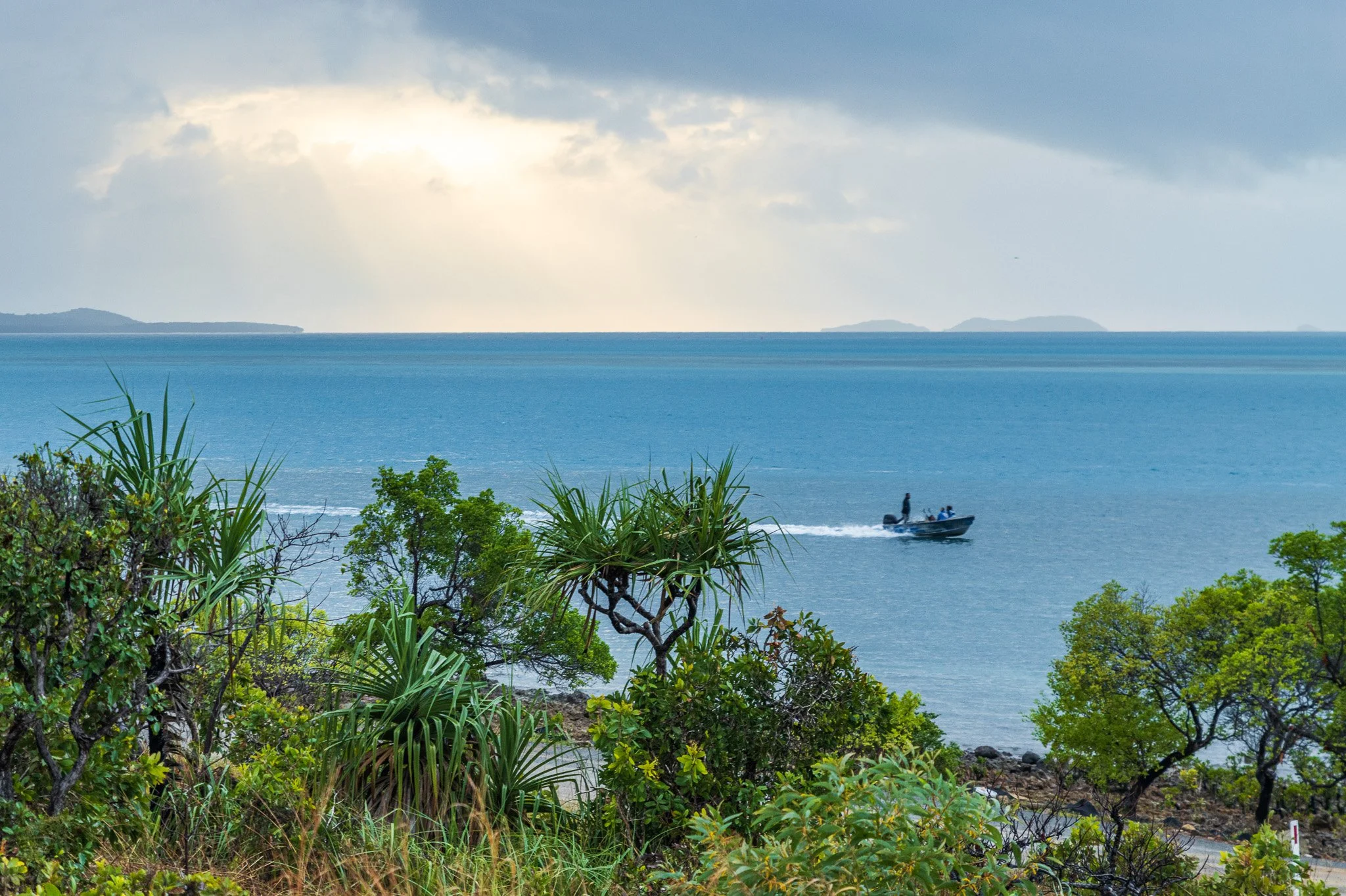
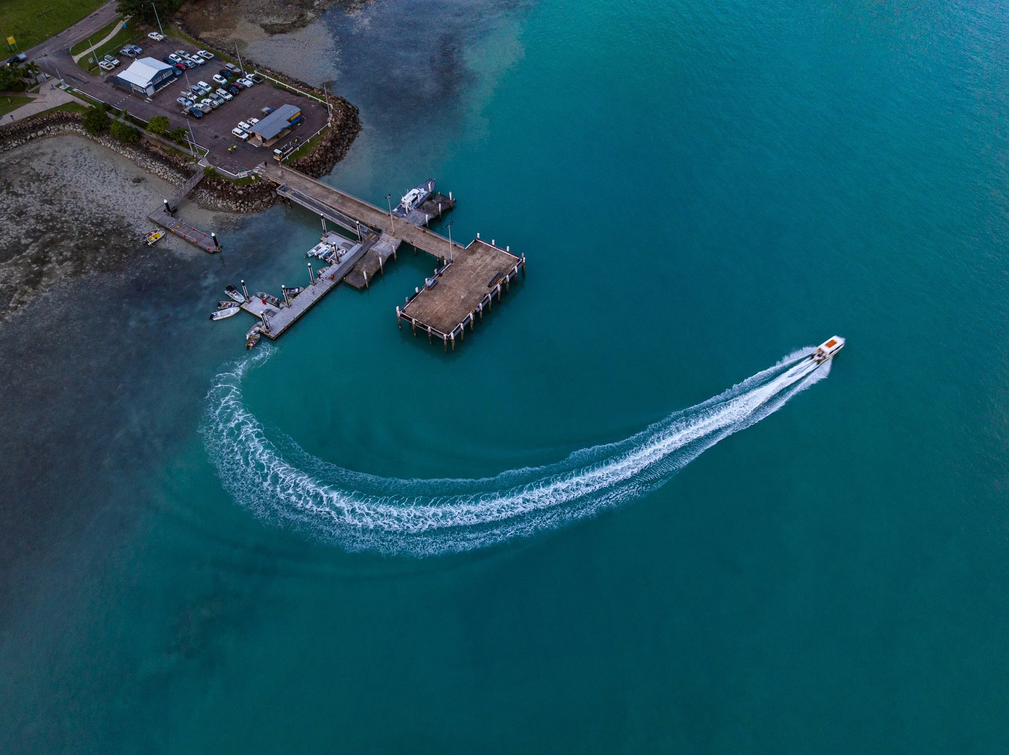
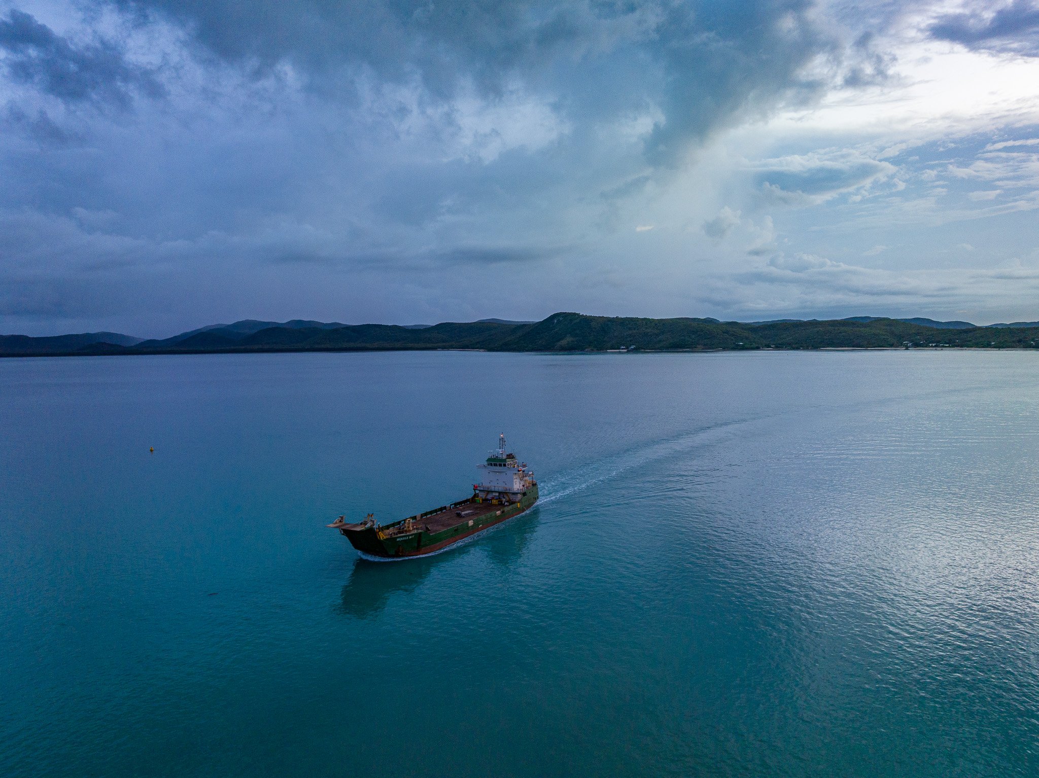
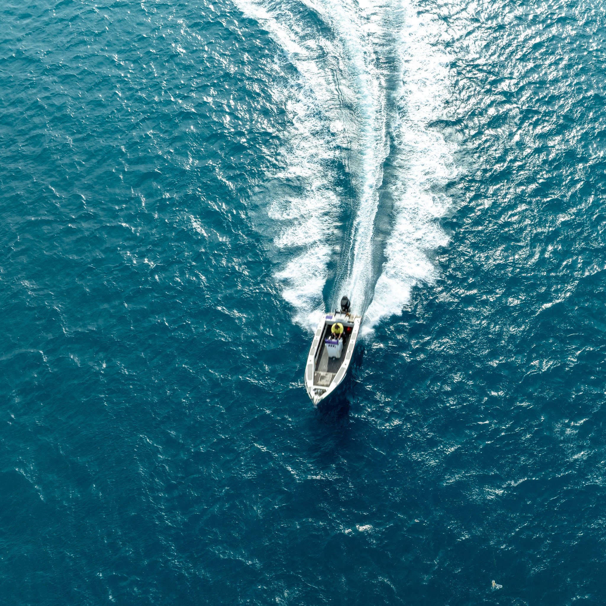
And the crossing never stopped being ordinary. Movement by dinghy between islands remains part of daily life in the strait — the shallow, sheltered, reef-protected platform that makes the water legible from the air is the same platform that makes it crossable at the surface. What reads from altitude as scattered islands in a wide sea is, at ground level, closer to a set of neighbourhoods joined by water instead of streets. The adaptation that began with the first seafarers is simply ongoing — connection maintained, every single day, by people who have never treated this water as an edge.
On 20 May 1982, Eddie Koiki Mabo and four other Meriam people from Murray Island lodged a claim with the High Court of Australia for ownership of their ancestral lands. The case ran for ten years. On 3 June 1992, the court overturned the doctrine of terra nullius — holding that the Meriam people were entitled to possession, occupation, use and enjoyment of the lands of the Murray Islands. Eddie Mabo had died of cancer five months earlier. He was born on Mer — on the red volcanic rock visible in the eastern strait from altitude, its ancient crater rising 230 metres above the sea.
Arguably the most significant land rights case in Australian history was centred on a piece of basalt. The sea had risen around it. The people had stayed.
The same sea, rising
One force runs through all of it. The sea rose and made the islands, and the land-walkers became seafarers. The sea flooded Saibai, and families crossed to higher ground. The sea sits between the islands still, and is crossed by small boat every ordinary day. Each time, the people of the strait adapted, and the connection held. And the sea is rising again.
In the Torres Strait it is rising at approximately 6 millimetres per year — more than twice the global average. But this is not the sea that made the islands. That rise came from a natural warming at the end of an ice age; this one comes from us. And it differs in two ways that matter more than any single figure. The earlier rises unfolded over thousands of years, with generations to adjust and higher ground to move toward. This one is arriving within a single lifetime — and on the flat northern delta islands, Boigu and Saibai, the ground built from New Guinea's rivers and sitting within metres of high water, there is almost no higher ground left to move to. For those communities it is not a projection. It is a present condition, measured in king tide flooding, saltwater intrusion, and the erosion of land inhabited for generations.
From altitude, you can see exactly what is at stake in a way no figure conveys. On the northern islands there is almost nothing between the mangrove platform and the water around it — no relief, no reserve of high ground, only the thin dark line of the shore. The same aerial transparency that lets you read eight thousand years of adaptation in the shape of the water lets you see, in a single frame, how little now stands between that adaptation and the sea that has always driven it.
The people of this strait have adapted to a rising sea for eight thousand years, and they are adapting still — in the courts and on the world stage as much as on the water. So the question the aerial frame leaves open is not whether they have the capacity to meet this. It is whether the pace now being forced on them, by a warming they did not cause, will leave them the time and the ground that every earlier adaptation relied on. That part of the story is not yet written.
New Field Notes delivered directly to you — subscribe free on Substack to follow the journey