The why beyond the view.
Aerial landscape interpretation.
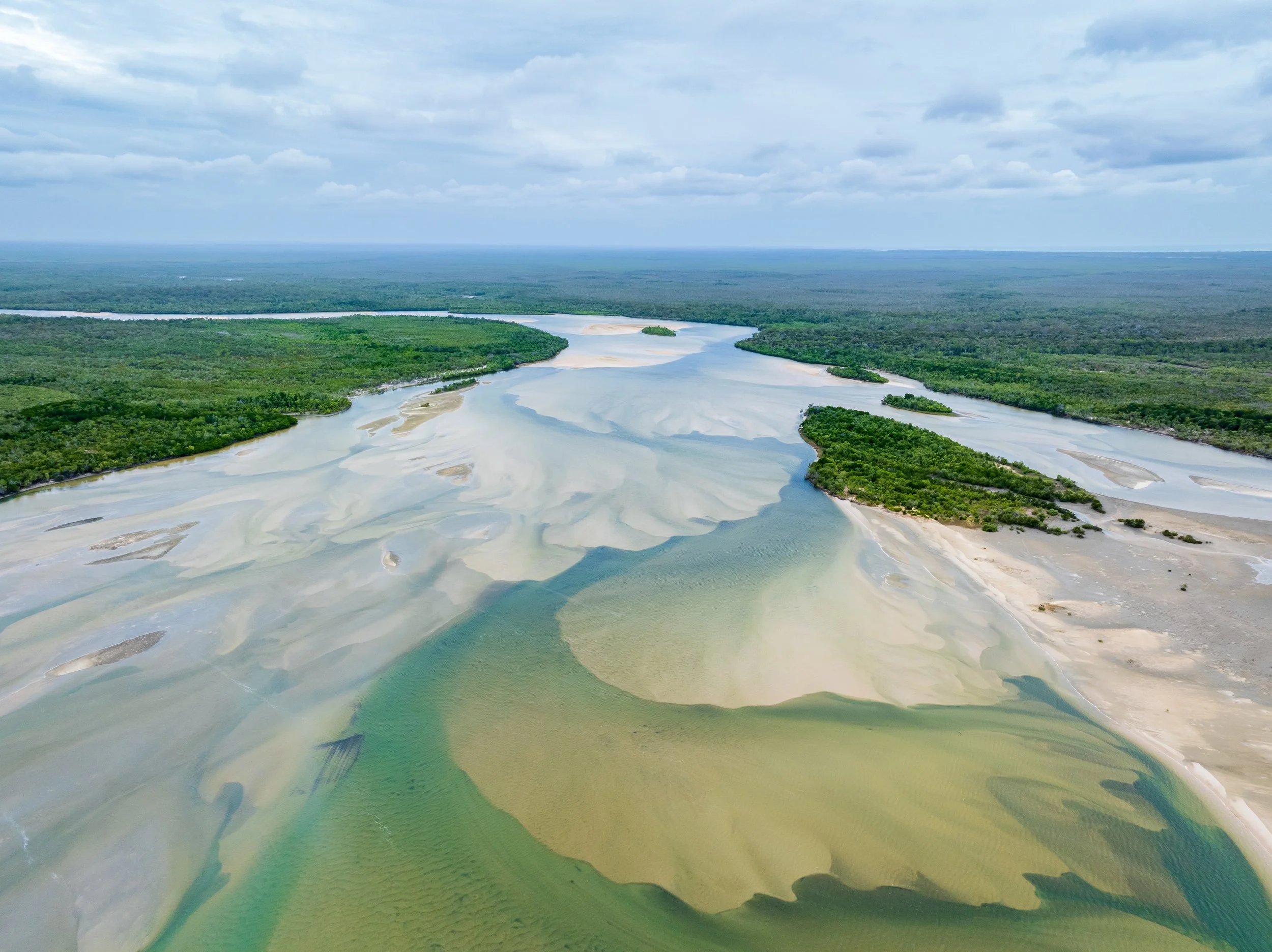
From the ground, a landscape shows you its surface. From the air, it shows you its logic — the volcanic eruptions that built the Tablelands, the rivers that lava buried and rerouted, the sea levels that shaped the Cape York coast. Kevin Explores explains those patterns: geology, ecosystems, cultural knowledge, and history, read from altitude over a geologically complex corner of Australia — revealing stories that ground level never tells.
Most of us sense there's a deeper story in landscape we can't quite reach. I felt that for years flying over North Queensland before I started learning to read what I was seeing. Kevin Explores is that knowledge-seeking journey shared openly — combining aerial perspective, genuine curiosity, and a career in purposeful storytelling to make landscape legible, meaningful, and genuinely felt.
Explore the Stories Images, interpretation, and geological stories from above — all waiting for you here.
Never Miss a Field Note Subscribe here — new episodes delivered directly to you, free.