Tully Falls, Gorge and River


Tully Falls National Park
Although this park directly adjoins Tully Gorge National Park, access is from the opposite direction, via the Koombooloomba Dam road south from Ravenshoe on the Atherton Tableland. The park mainly covers rainforest in the high-rainfall along the edge of the tableland. Both rhyolitic rocks of the Glen Gordon Volcanics (of late Carboniferous to early Permian age, 300 to 280 million years old) and patches of young basalt from the Windy Hill Volcano have weathered to deep soils, and few rocks are visible. Tracks of the Misty Mountains wilderness walks network and a short creek track at Wabunga Wayemba have been established beside the road.
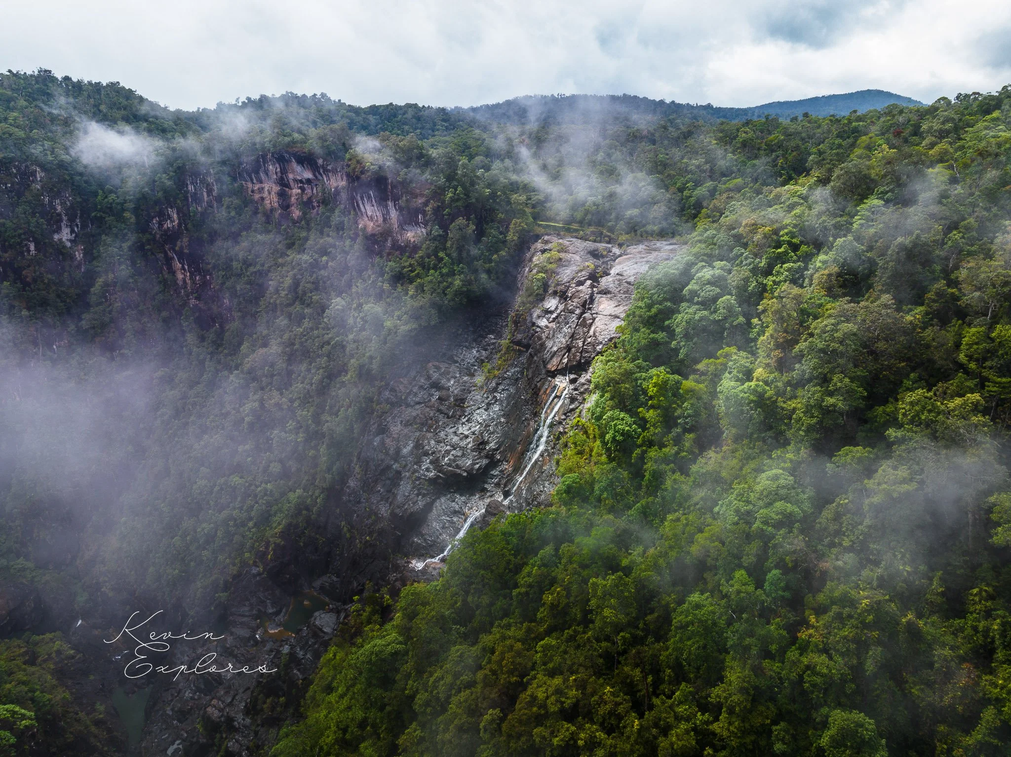
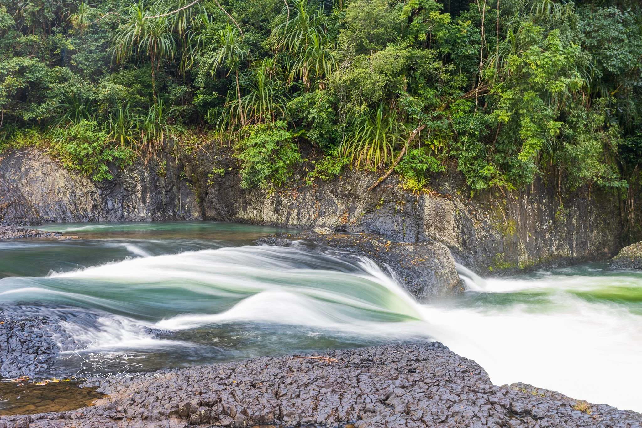
A turn-off 24 km south of Ravenshoe leads a short distance to a spectacular lookout over the Tully Falls on the edge of the escarpment. Although they are now usually dry from the water being diverted down a pipeline to the Kareeya hydroelectric station, frequent mist over the precipitous drop and the opposite cliffs makes for most atmospheric experience. The falls are over rhyolitic rocks of the Glen Gordon Volcanics. A short walking track leads beside the river to another road upstream of the falls. A bridge there to the eastern side of the river and other lookouts is now closed. The volcanic rocks in the river bed are covered by dangerously slippery algae and no details of them can be seen.
The main road continues to Koombooloomba Dam which provides a regulated water supply for the power station. Here the rocks are pink, fine to coarse-grained granite with few dark minerals belonging to the Ingham Granite Complex, which is of similar age to the volcanics. The vegetation tends to eucalypt forest in places because of poorer soils on the granite. This area is within the Koombooloomba Forest Reserve and the dam surrounds are controlled by the electric authority.
Tully Gorge National Park
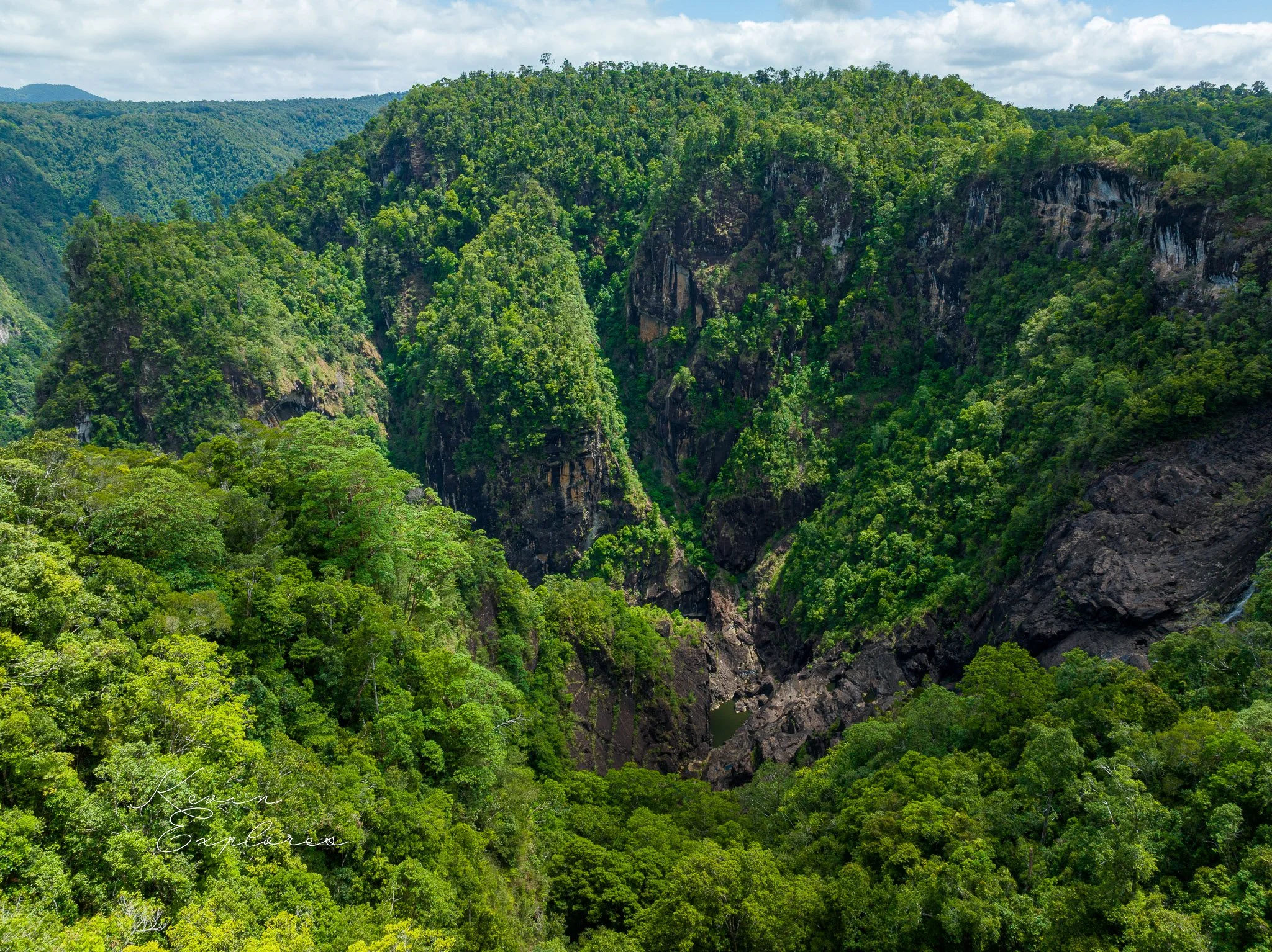
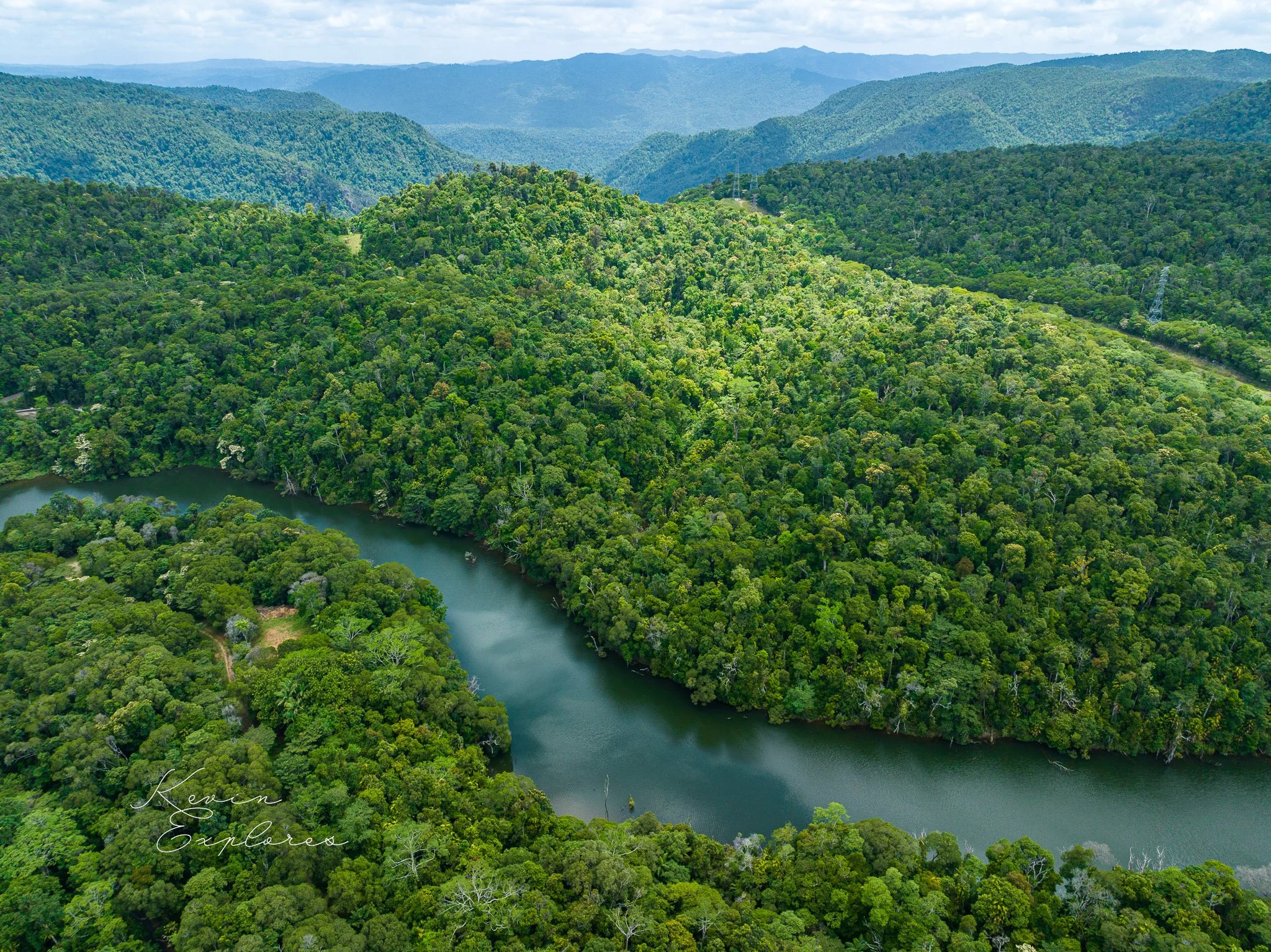
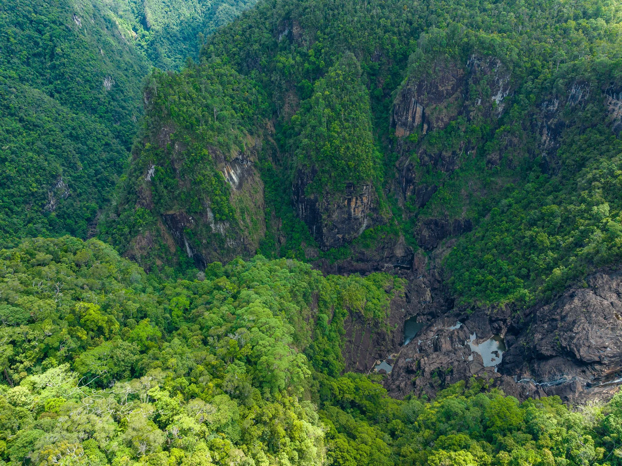
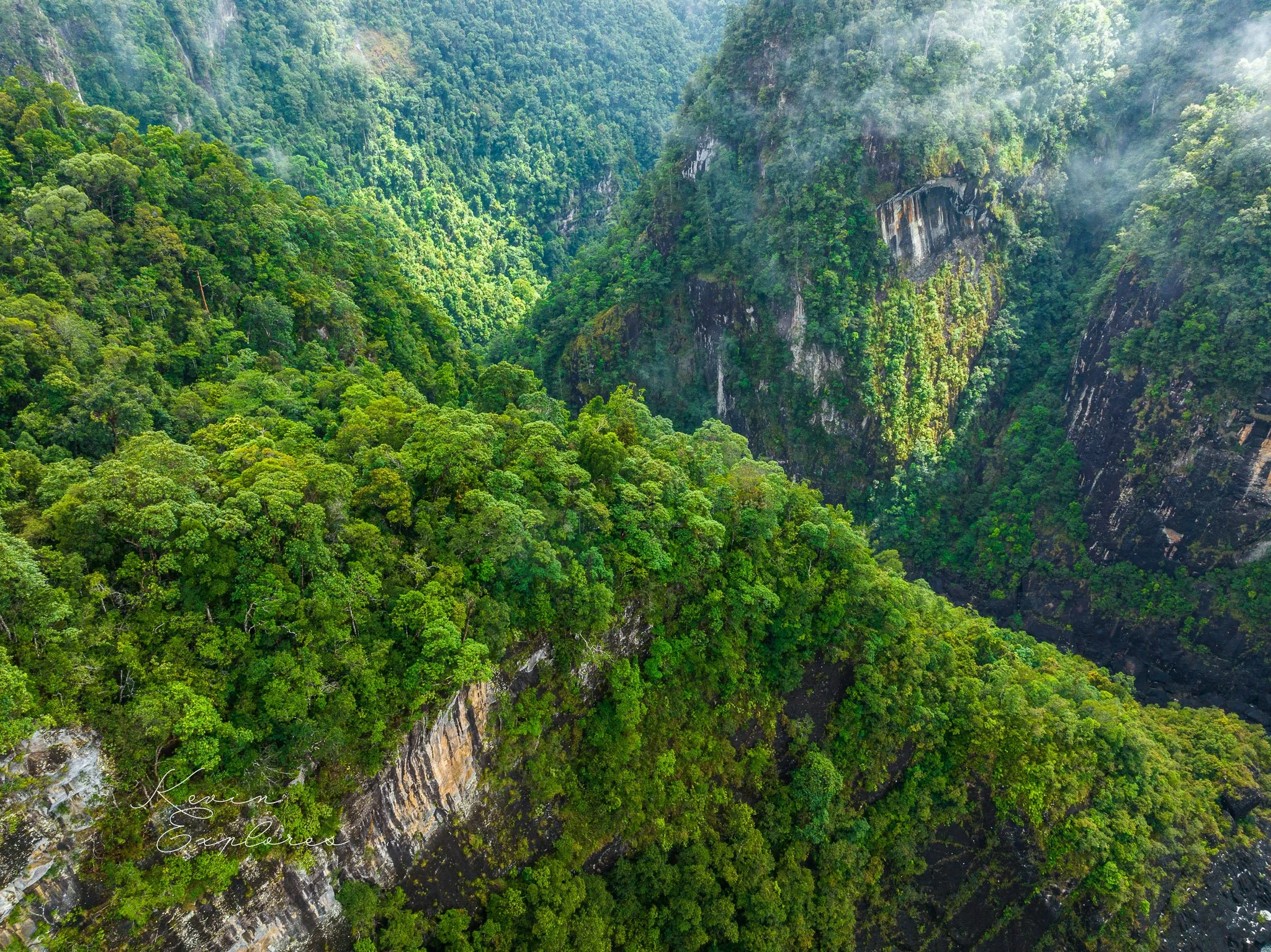
The Tully River is another major stream that has cut back into the Great Escarpment in a sizeable gorge by retreat of a waterfall, in this case the Tully Falls. The Tully Gorge is a remarkably straight feature, trending northwest, and it is suspected that the falls have retreated along a line of weakness of a major fault zone. Different rock types on either side of the gorge (welded tuff of the Glen Gordon Volcanics on the south, and granite of the Tully Granite Complex to the north) support this view, but it is not clear when the fault was active. In more recent geological times the falls have cut back off this fault zone to the west. The Tully Gorge National Park, reached along the Cardstone road west of Tully, covers the upper gorge and its eastern flanks.
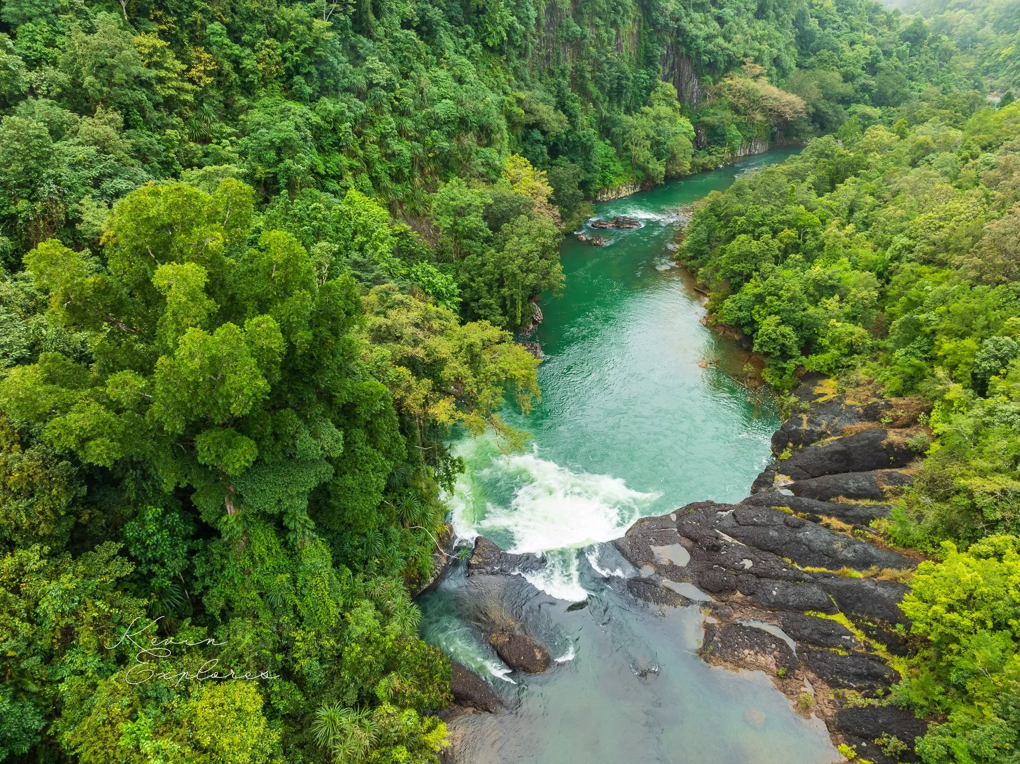
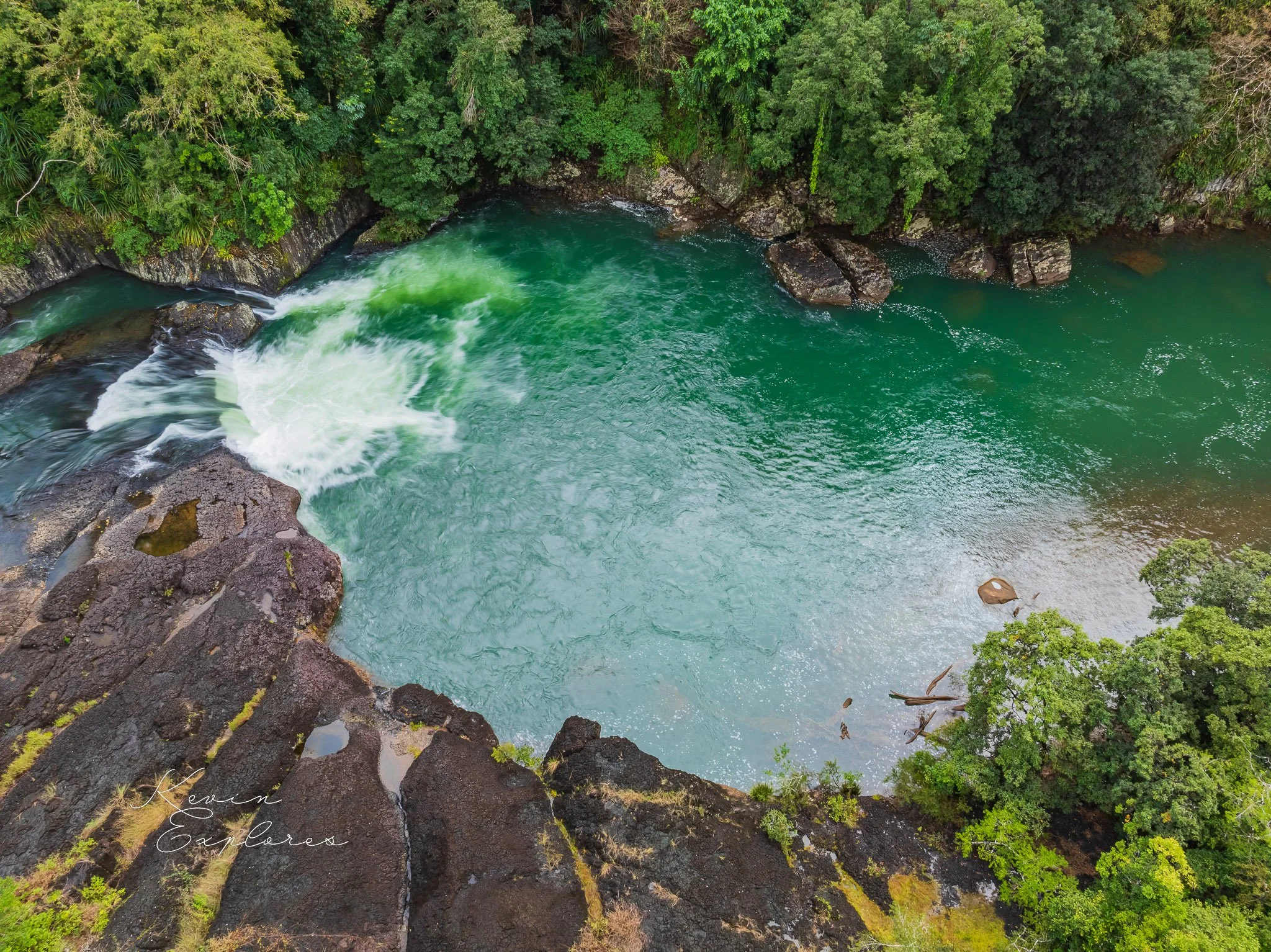
Frank Roberts Lookout, just past the concrete bridge at the entrance to the park, gives a vista down the river, which is popular with white-water rafters. The road cutting opposite is in mid to dark grey, rhyolitic welded tuff with abundant irregular crystals of pink feldspar up to 4 mm across, and a few small rock fragments. It is part of the Glen Gordon Volcanics, of late Carboniferous to early Permian age (300 to 280 million years old), which outcrop over a large elongate area from Kirrama in the south to north of Ravenshoe, possibly representing one or more disrupted cauldron subsidence areas. Cuttings between here and the Kareeya power station are in similar rocks. Just below the power station at the downstream raft-launching site, the rocks at the water edge are light-brown, un-welded tuff or agglomerate, containing scattered white fragments of rhyolite lava up to 5 cm across. The falls themselves are not approachable from this road but can be visited via Ravenshoe (see below).
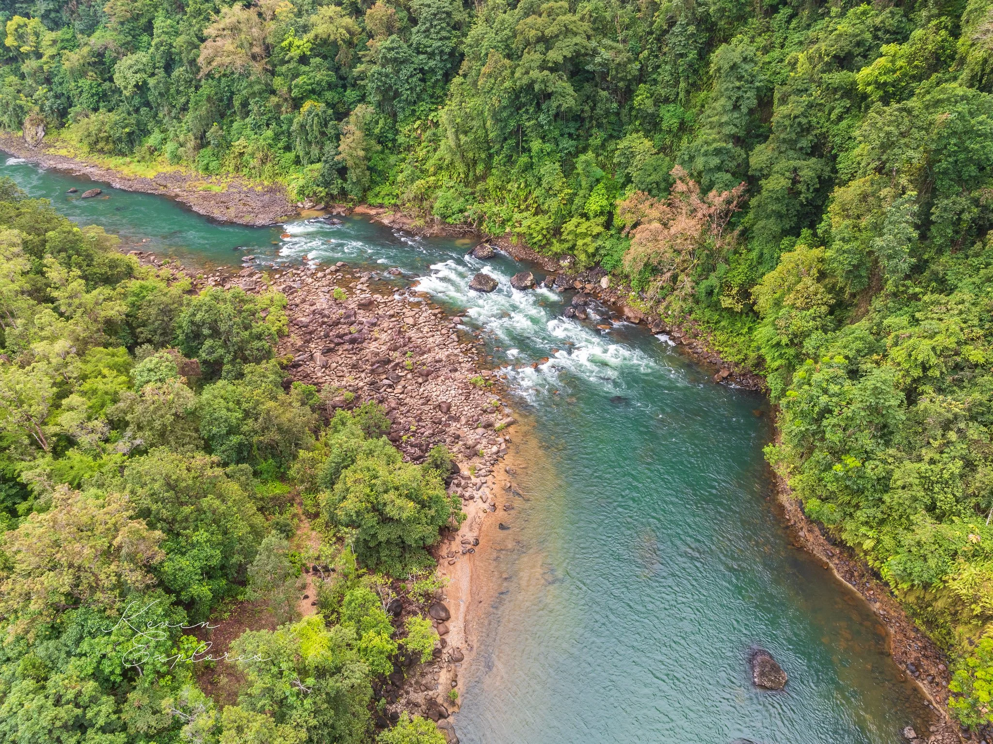
At the national park campground just upstream from Frank Roberts Lookout, the cliff on the north side of the river provides a good illustration of geological processes. It is of basalt lava, which flowed over the eastern escarpment of the Atherton Tableland from the Windy Hill Volcano near Ravenshoe about 1.24 million years ago. It followed the course of the ancestral Cochable Creek, which enters the river just upstream of here. The tail-end of the flow centred the main river, which has since eroded its edge to make the cliff opposite the campground. At its base you can see the basalt lying on the old river gravels of the Tully River.
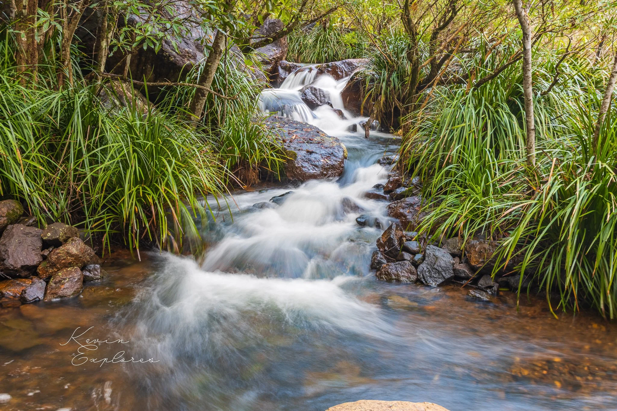
Just downstream of the concrete bridge a gravel road leads northwest to the Cochable Creek campsite, which is the start of several tracks of the Misty Mountains wilderness walks network. The hillside above the camp is of granite of the Tully Granite Complex (of late Carboniferous to early Permian age), but the opposite side of the creek and the creek bed is formed by the basalt that has flowed down from the Windy Hill Volcano. One track to Koolmoon Creek and Elizabeth Grant Falls crosses the creek to climb on to the gently sloping surface of the basalt flow, which is now weathered to a red soil. The present Koolmoon and Cochable Creeks have eroded their valleys along both sides of the flow since it filled the ancestral valley. The long-distance Koolmoon Creek track crosses that creek to eventually climb the escarpment south of Ravenshoe, but a shorter track (10.4 km return) continues along the flow surface to a view of the spectacular Elizabeth Grant Halls plunging over the high escarpment. Here this is carved in welded tuff of the Glen Gordon Volcanics, and the falls have cut a slot down a fracture in the rocks.
Per Warwick Willmott, Rocks and Landscapes of the National Parks of North Queensland, Geological Society of Australia,2009
