Northern Peninsula Area, Cape York
At the very tip of Cape York, the Australian mainland doesn't end so much as dissolve. Land fragments into water, freshwater meets salt, ancient country gives way to the coral-rich shallows of Torres Strait. From the ground, you experience this as a series of crossings — rivers, wetlands, tidal flats, the sudden appearance of the sea. From above, you see something else entirely: a landscape in the middle of becoming, shaped by geological forces that are still actively at work.
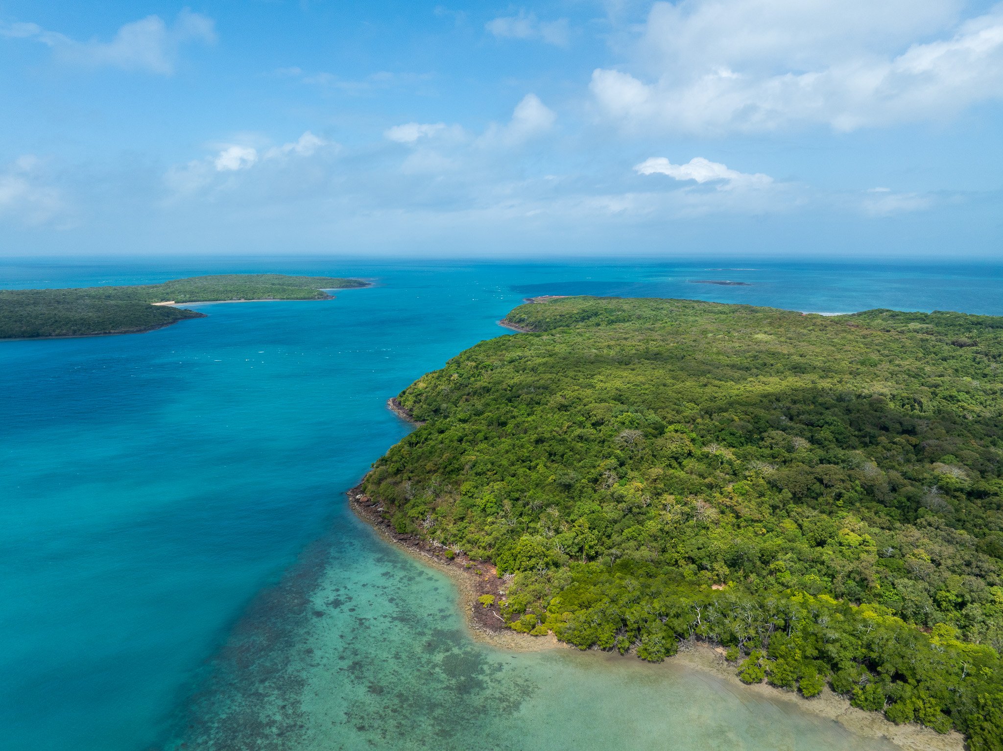
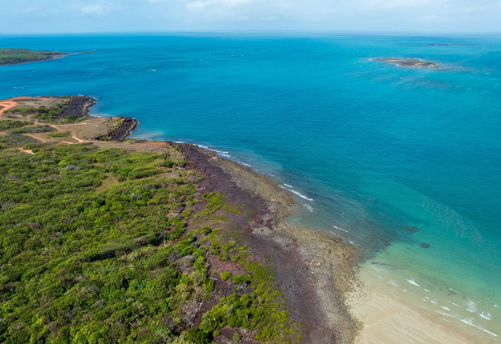
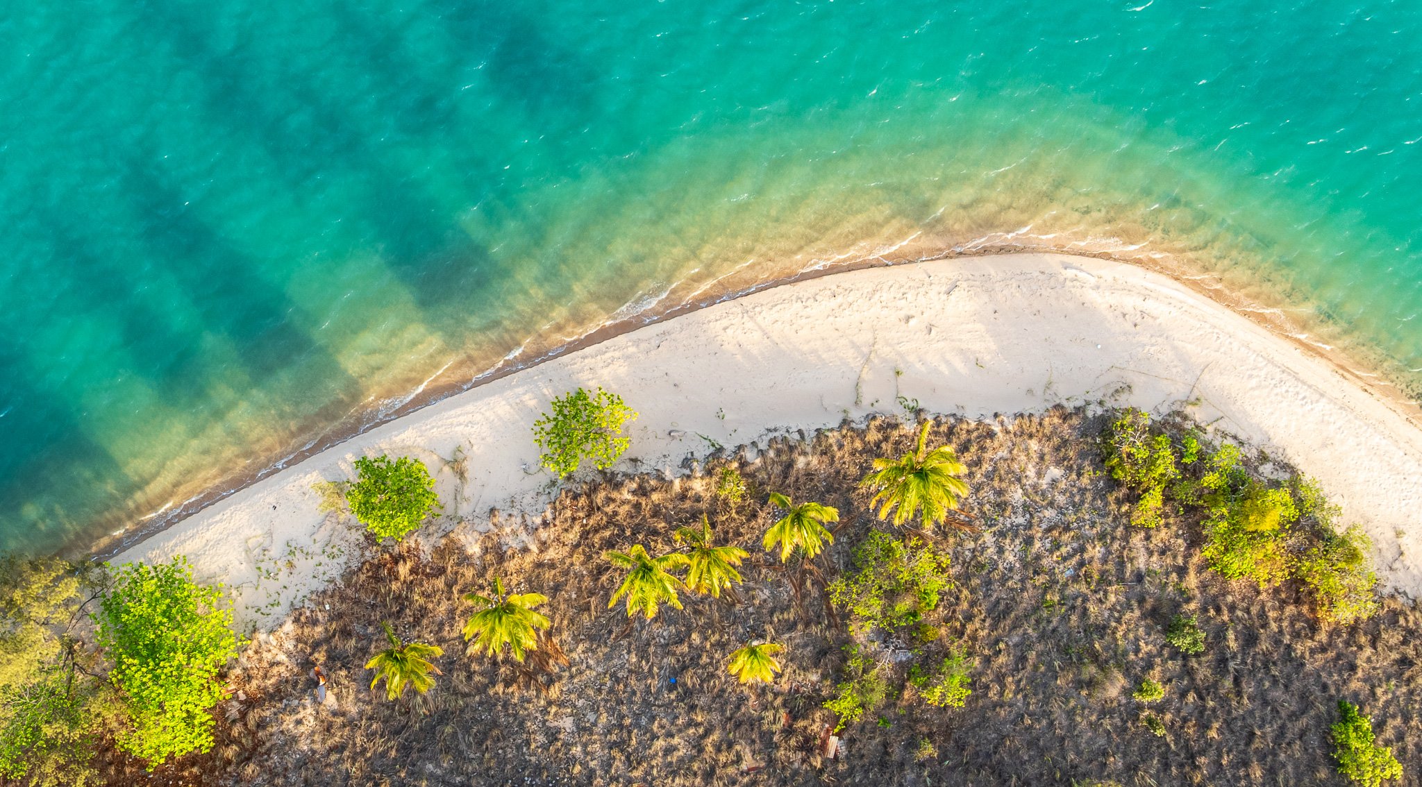
The Northern Peninsula Area — the five communities of Bamaga, Injinoo, Seisia, Umagico and New Mapoon — sits on a geological story far older and more layered than its low, flat appearance suggests. Ancient volcanic rock, erupted 300 million years ago, forms the resistant headlands and islands at the continental tip. A deeply weathered ferricrete landscape of Oligocene to Pliocene age sustains the river system that makes this country unusually wet. Young Tertiary–Quaternary sands and laterite mantle the broad interior. And at every coastal margin, Holocene deposits less than 10,000 years old are still actively forming. The full span of that geological range — from 300 million years to the present — is visible in a single aerial frame.
This is what brought me here. Not just the tip of the continent, but the particular story this landscape is telling — about geology, about water, about the human histories layered through it. I'm still learning to read it fully. What follows is what I've understood so far.
SECTION 1: THE GEOLOGICAL FOUNDATION — How This Landscape Was Built
If you've driven the Cape York Track to reach the tip of Australia, you've already crossed several hundred million years of geological time without necessarily knowing it. The landscape around you wasn't always like this. What you're looking at today is the result of a sequence of events — volcanic eruptions, continental drift, ice ages, rising seas — that unfolded across an almost incomprehensible span of time and left their mark in the rocks, soils and coastlines of the NPA.
Here is how it was built.
Step 1 — The volcanoes (~300 million years ago, Late Carboniferous to Early Permian)
The story begins with violence. Roughly 300 million years ago — during the geological period known as the Late Carboniferous to Early Permian (approximately 310 to 280 million years ago) — a series of volcanoes erupted across what is now the northern tip of Cape York. These were not gentle lava-producing volcanoes. They generated pyroclastic flows: fast-moving, superheated clouds of ash, gas and rock fragments that swept across the landscape at enormous speed and temperature, fusing as they came to rest into thick, dense sheets of welded volcanic rock. Geologists call this material ignimbrite.
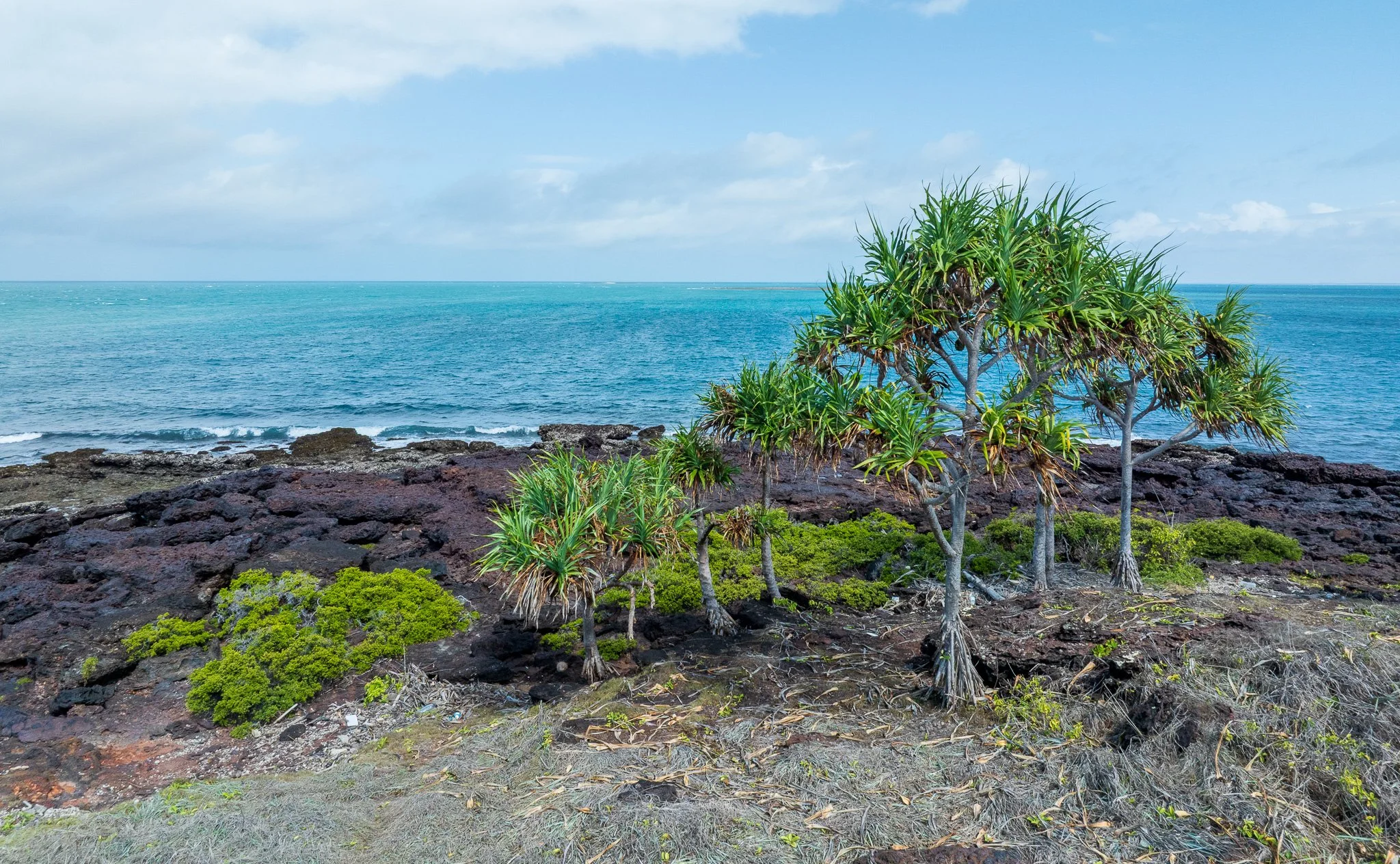
Two distinct ignimbrite formations were produced. The Eborac Ignimbrite formed on the eastern side of the tip — it is the rock that now forms Cape York itself, Eborac Island, York Island, Peak Point, and the headlands around Punsand Bay. The Endeavour Strait Ignimbrite formed on the western side — it now underlies the coastline around Injinoo, Chera Head, Mount Paterson, and the shores facing Torres Strait. Both formations are roughly the same age, both are hard, dense and extraordinarily resistant to erosion.
To put 300 million years in perspective: at the time these volcanoes erupted, Australia was still part of the supercontinent Gondwana, joined to Antarctica, India and South America. Dinosaurs had not yet appeared — they were still 50 million years in the future. The Torres Strait, Cape York Peninsula, Papua New Guinea — none of it existed in anything like its current form.
Step 2 — Three hundred million years of erosion
After the eruptions, time went to work. The ignimbrite was hard. Everything softer around it — other volcanic material, sediments, less resistant rocks — was gradually worn away over hundreds of millions of years of weathering and erosion. The ignimbrite survived. This is the process geologists call relief inversion: what was once volcanic rock erupted onto a surface becomes, over time, the highest and most resistant feature in the landscape precisely because it resisted what destroyed everything else. The headlands and islands you see today at the tip of Cape York are not mountains or cliffs built up by tectonic forces. They are simply what is left after everything around them was removed.
Step 3 — Australia drifts north and the landscape turns red (~65–2 million years ago, the Cenozoic)
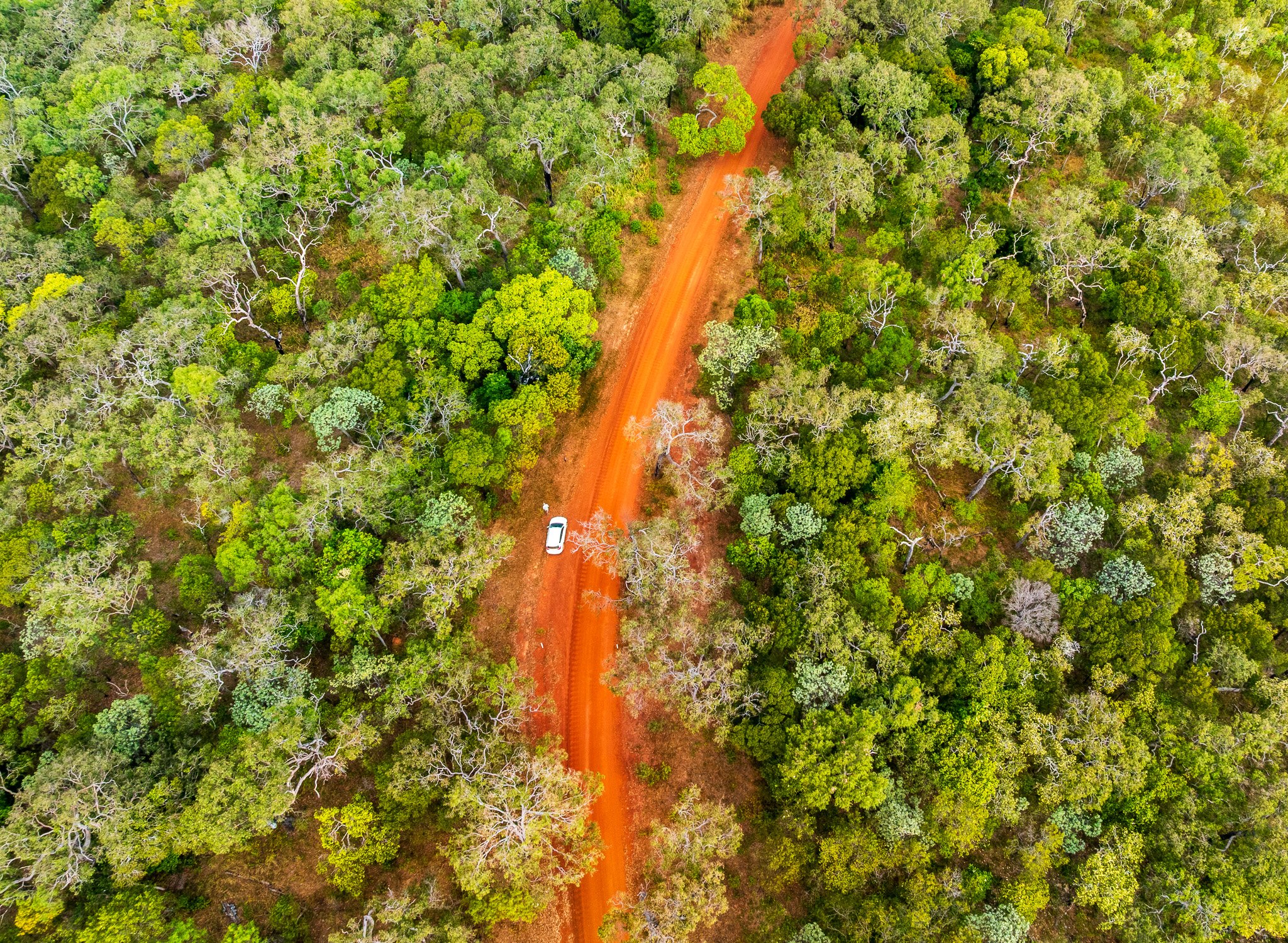
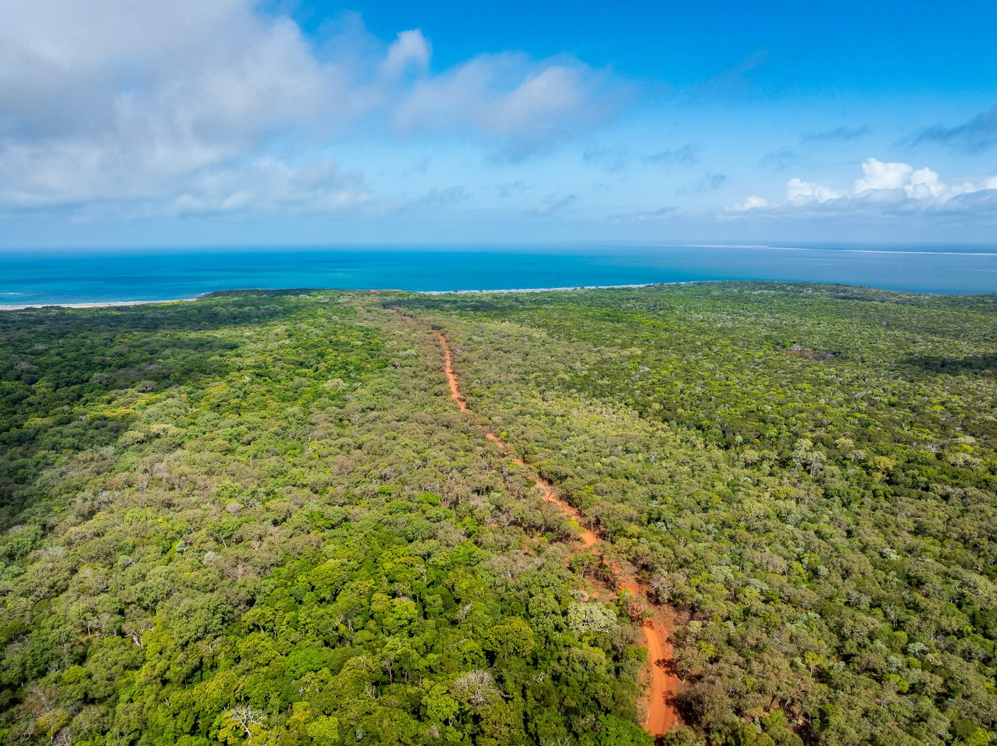
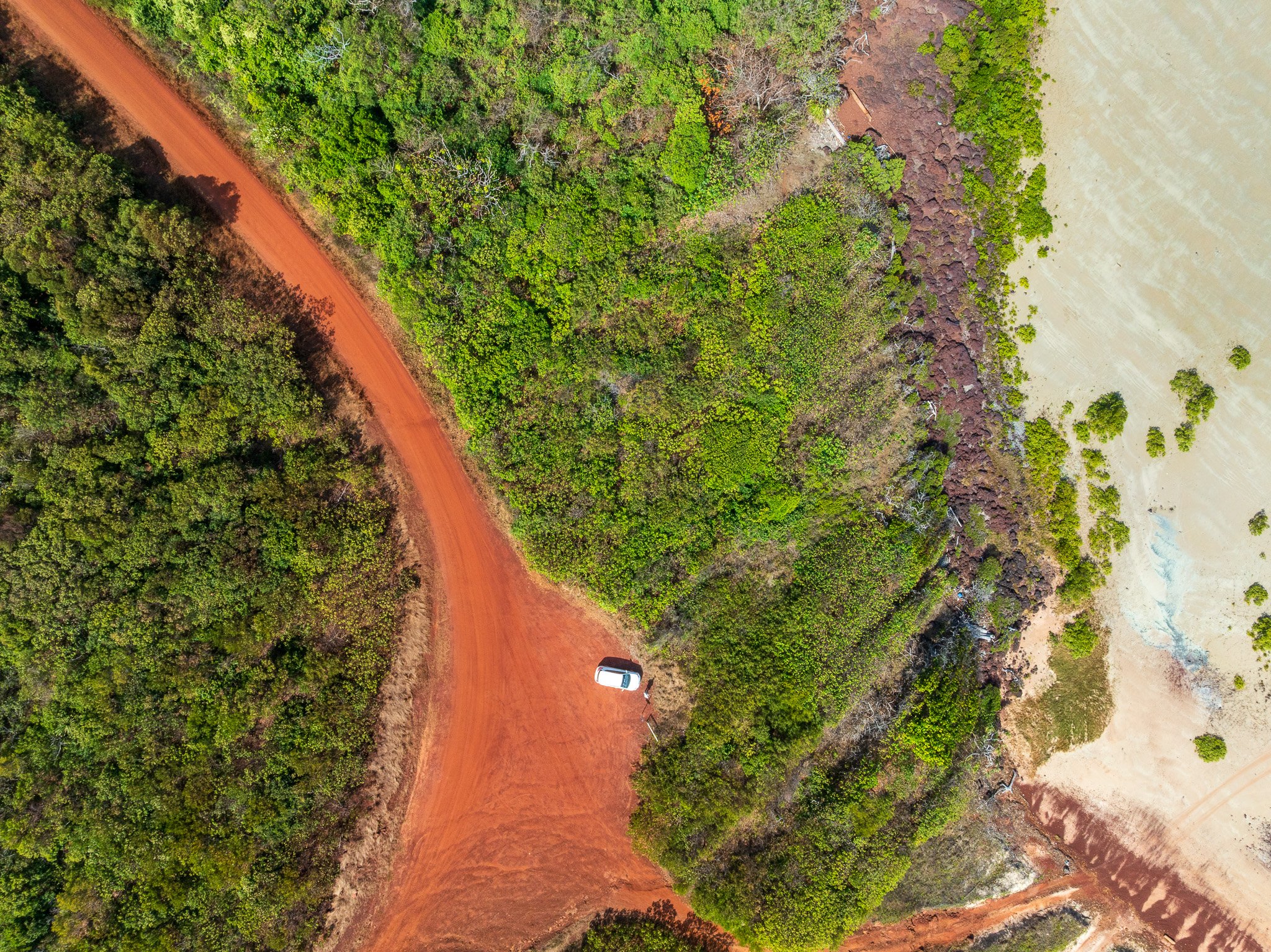
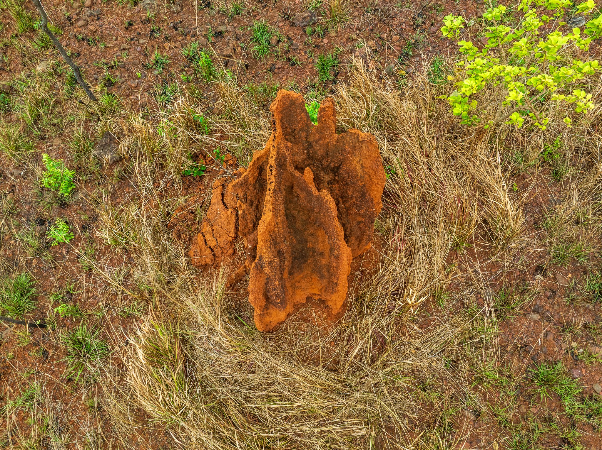
After the supercontinent of Gondwana broke apart roughly 180 million years ago, Australia began its long drift northward. As it moved into tropical latitudes, the climate warmed and became persistently wet. In this hot, humid environment, a slow chemical process began transforming the landscape. Rainwater, made mildly acidic by filtering through decaying vegetation, percolated down through rock and soil, dissolving and mobilising the iron locked within them. In the dry season, water tables dropped and the iron-rich water was drawn back toward the surface. On contact with air, the iron oxidised — rusting in place, season after season, wet season after dry, for millions of years. The accumulated iron cemented the surrounding material into a hard, dense cap now known as laterite or ferricrete — from the Latin later, meaning brick. It is, in effect, rust-coloured armour that formed over the broad sandy plains of the NPA through the slow repetition of tropical wet and dry cycles. That red-orange colour on the roads, the soils, the coastal exposures — that is geological time made visible. Meanwhile, rivers deposited sands and sediments across the low-lying areas between the ignimbrite masses, building up the soft Tertiary-Quaternary landscape that today forms most of the NPA's terrain.
Step 4 — Ice ages and a land bridge (~2 million to 8,000 years ago)
As the ice ages of the Pleistocene (approximately 2 million to 12,000 years ago) cycled through their freezing and thawing, sea levels fluctuated dramatically — dropping by up to 120 metres during the coldest periods as water was locked into ice sheets. At the lowest sea levels, Cape York and Papua New Guinea were connected by a broad land bridge. The Torres Strait did not exist. Animals, plants and people moved freely between Australia and New Guinea across country that is now underwater. Many of the species shared between the NPA and southern PNG — including fish found only in the Jardine River and Jacky Jacky systems — are the living legacy of that connection.
Step 5 — The sea rises and Torres Strait is born (~8,000 years ago to present)
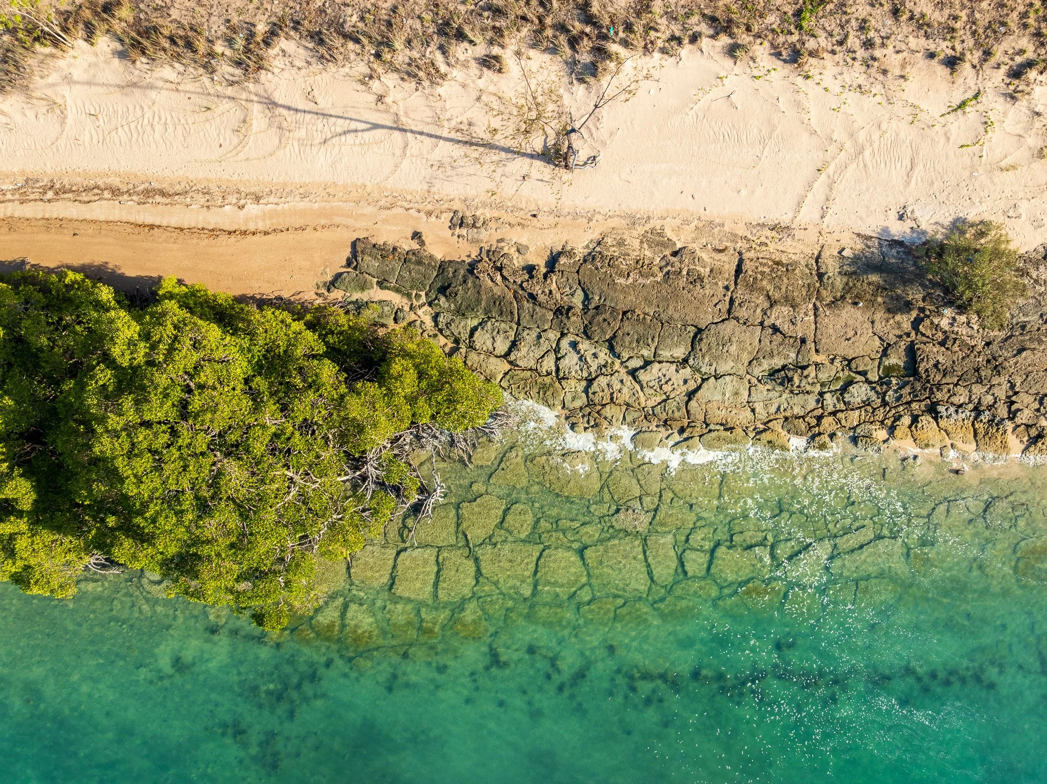
The last ice age ended around 12,000 years ago. Ice sheets melted. Sea levels rose rapidly — about 120 metres in total — flooding the land bridge and creating Torres Strait roughly 8,000 years ago. The high points of the old land surface became islands: Saibai, Boigu, Moa, Badu. Many of them, including Saibai, are barely above sea level — a fact that would motivate the 1947 migration to the mainland nearly eight millennia later. In the embayments between the ignimbrite headlands, tidal flats, beach systems and mangrove communities began accumulating — the youngest material in the NPA landscape, still forming today.
What this means for what you're seeing
The dark rocky headland at Cape York that marks the end of the road is 300 million year old volcanic rock that has simply outlasted everything around it. The red soil on the track you drove in on is the accumulated chemical record of tens of millions of years of tropical weathering. The turquoise water lapping at the ignimbrite shores of Torres Strait filled this basin only 8,000 years ago — well within the span of human occupation of this country, which extends back at least 50,000 years on the Cape York Peninsula.
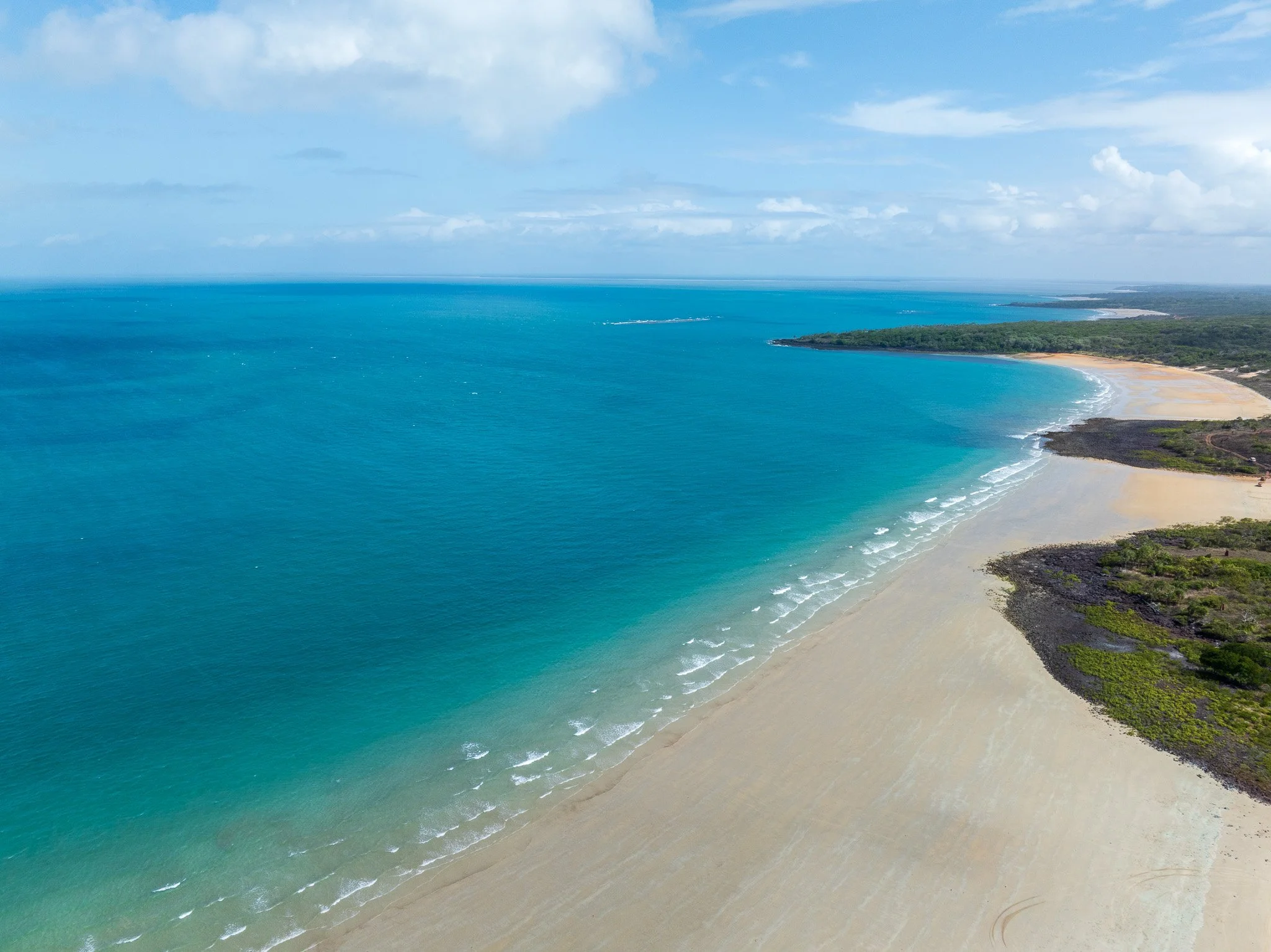
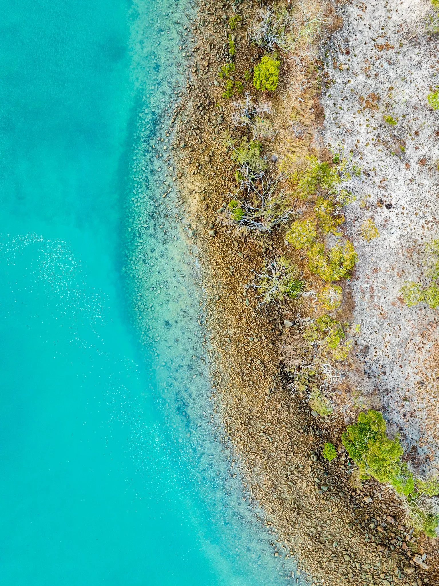
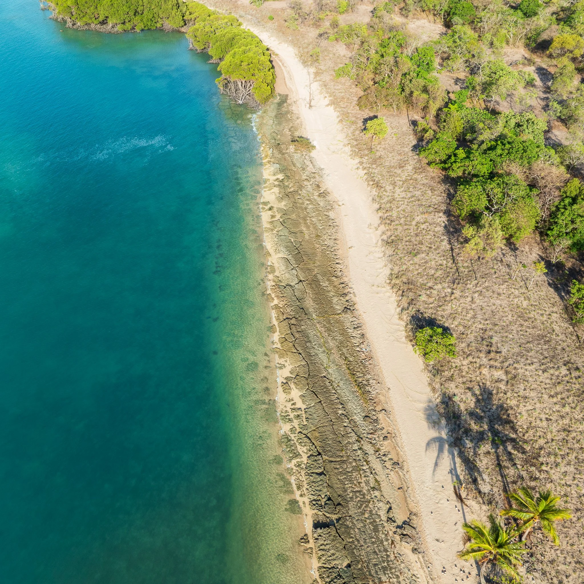
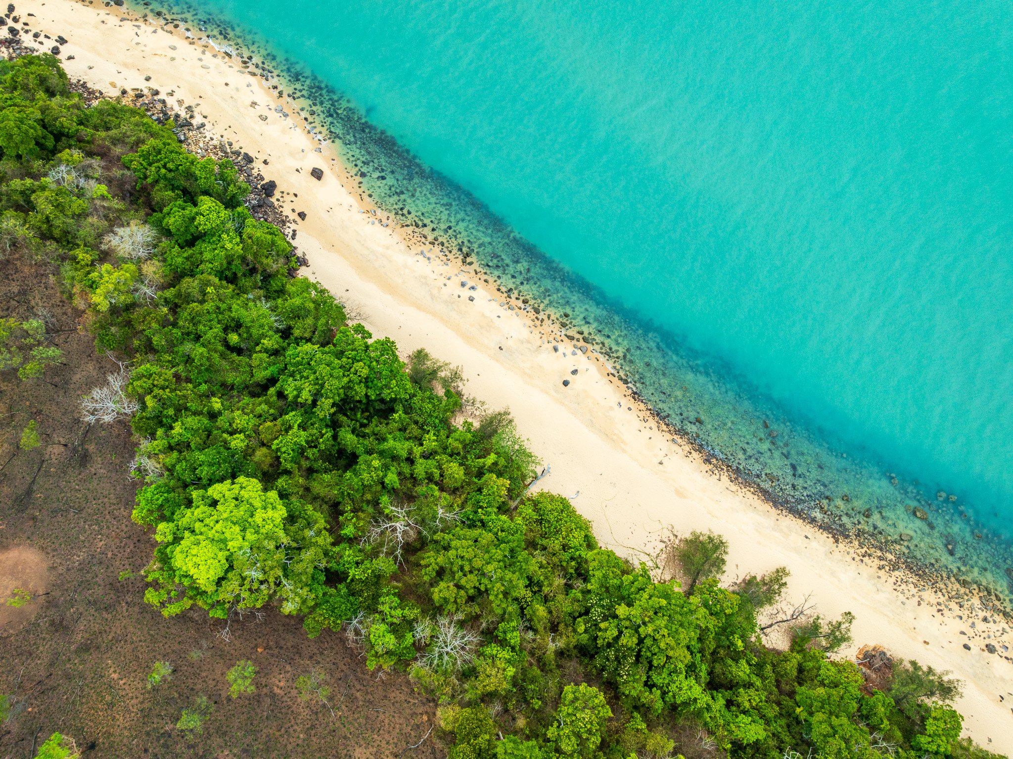
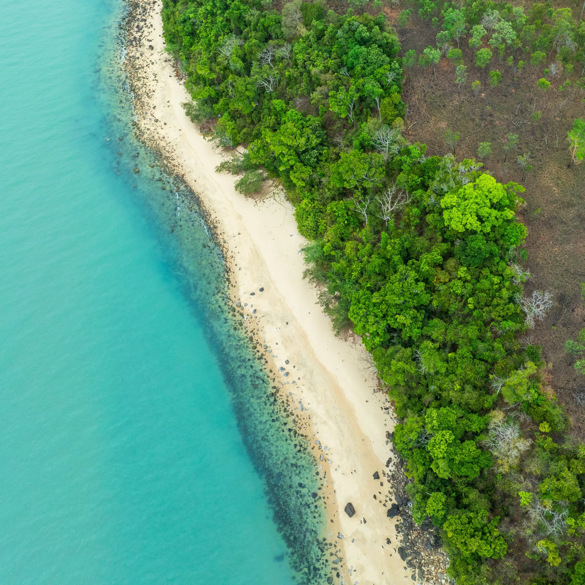
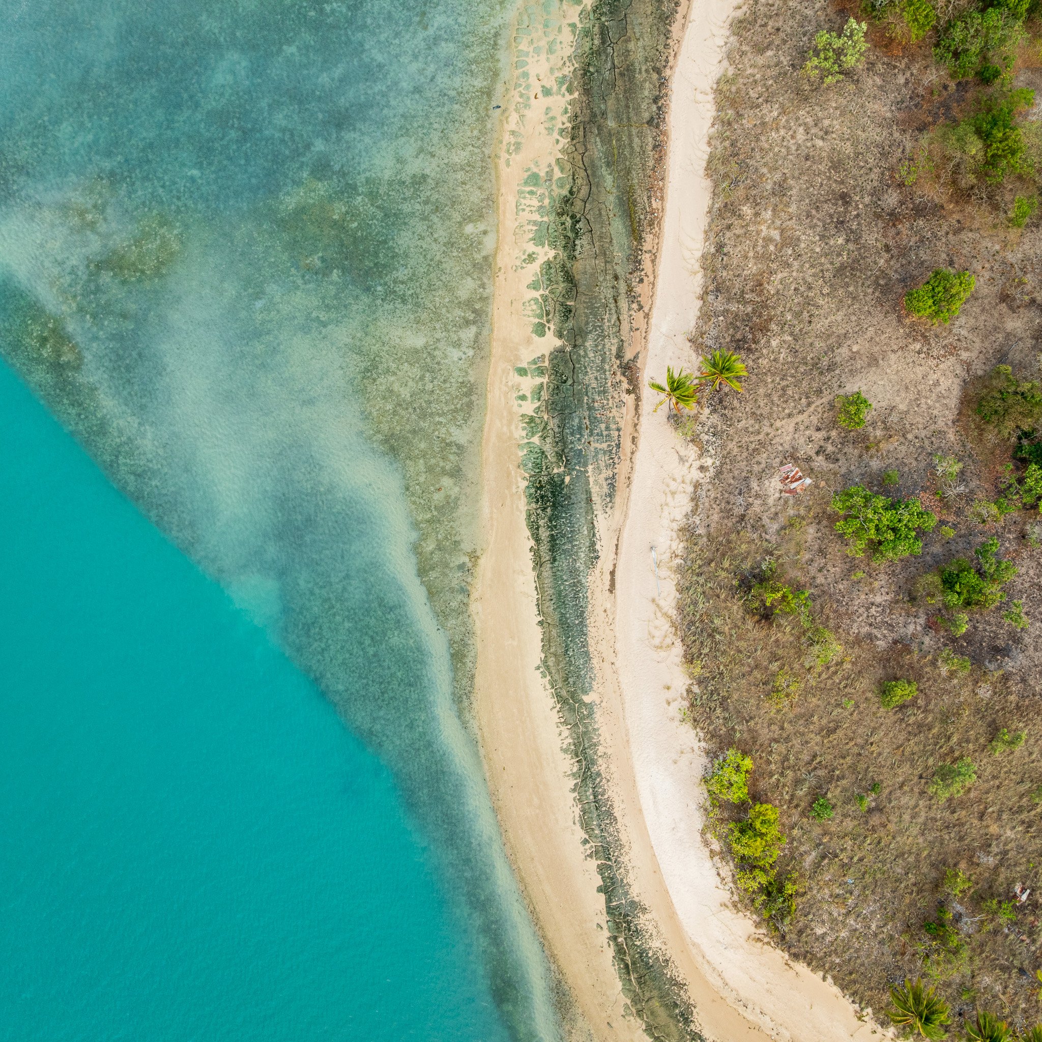
From the air, all of this is readable at once. The resistant ignimbrite masses — dark, elevated, angular — rise above the soft sandy plains that surround them. The Holocene coastal deposits fill the spaces between. The red laterite marks the broad interior. It is one of the more complete geological stories visible in a single aerial frame anywhere in Australia.
SECTION 2: THE WATER SYSTEM — A Landscape Organised by the Jardine
Every landscape has an organising principle — the dominant force that everything else arranges itself around. In the NPA, that force is water, and the Jardine River is its primary expression.
The Jardine is one of northern Australia's largest perennial tropical rivers — unusual in this part of the continent, where most rivers run hard in the wet season and slow to a trickle or stop entirely in the dry. The Jardine flows all year because of what lies beneath its catchment. The terrain the river drains through — confirmed by Queensland's geological survey as the Helby beds, an Oligocene to Pliocene formation (roughly 34 to 2.6 million years old) — is a deeply weathered ferricrete landscape. Ferricrete, the same iron-hardened material that colours the NPA's soils and roads, is porous and deeply weathered at depth, holding enormous volumes of water within its profile. The Kendall and Featherby Surfaces — as geologists name the ancient land surfaces preserved within this formation — act as a vast natural reservoir, absorbing wet-season rainfall and releasing it slowly through springs that feed the river throughout the year. Annual rainfall above 1,500mm across the catchment ensures there is always enough water entering that system to maintain the river's continuity.
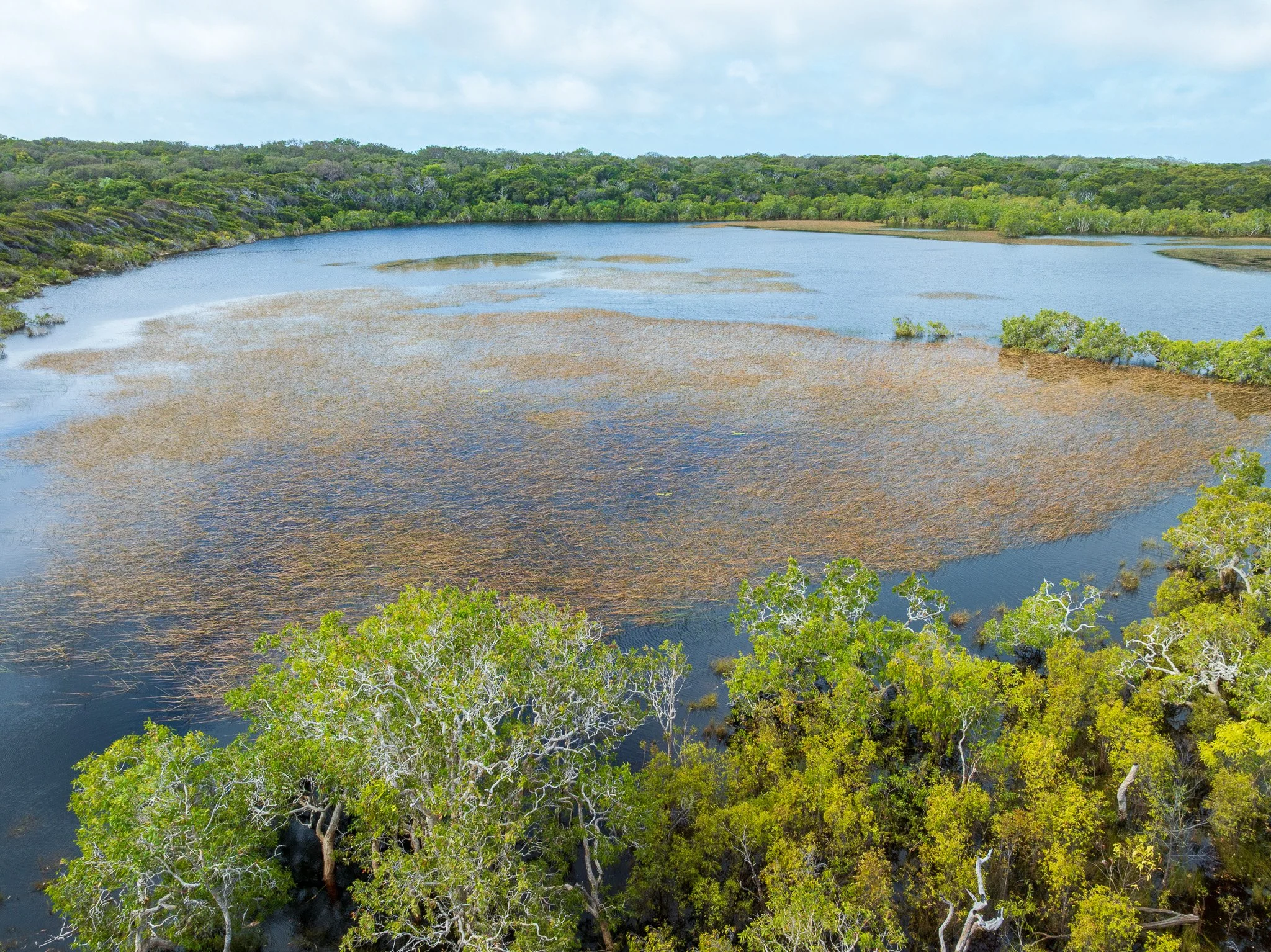
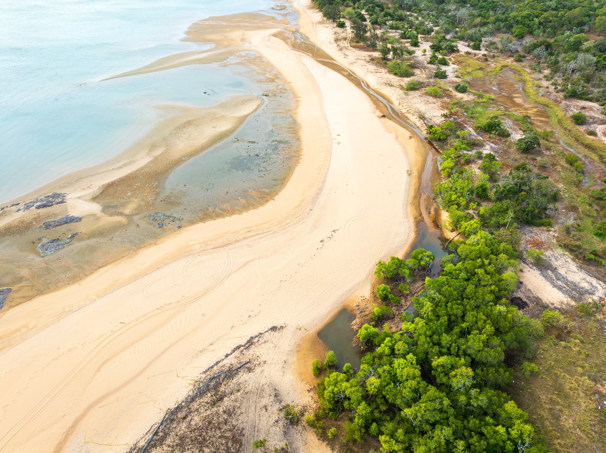
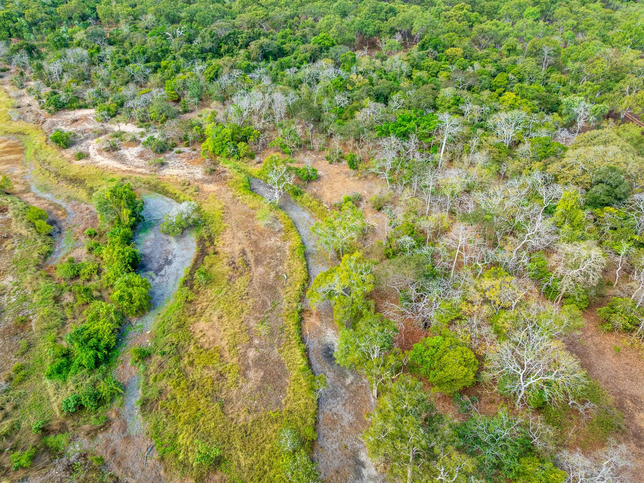
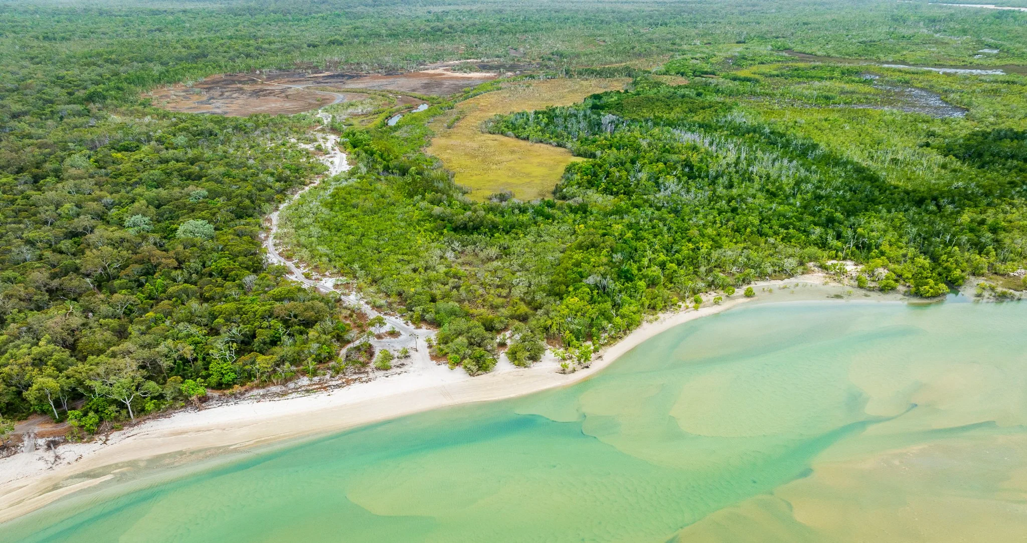
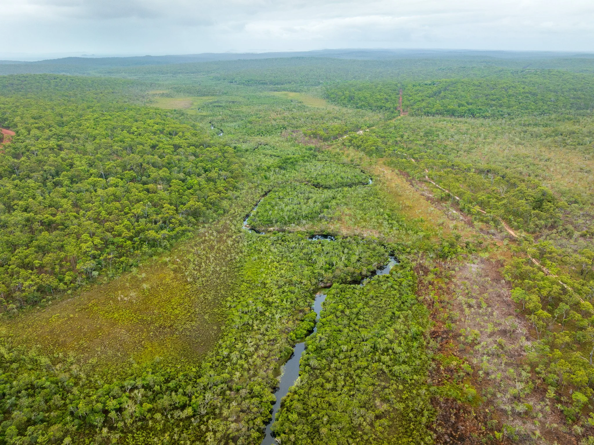
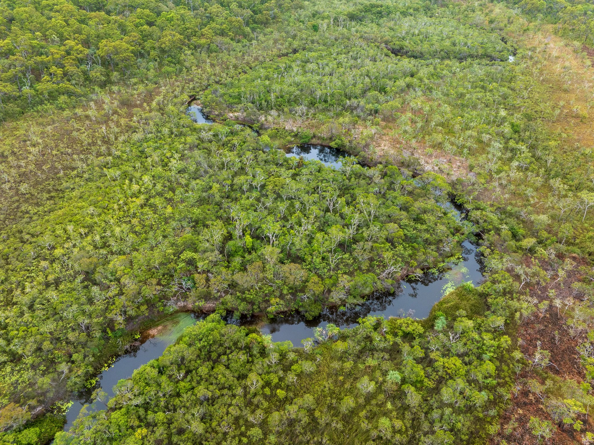
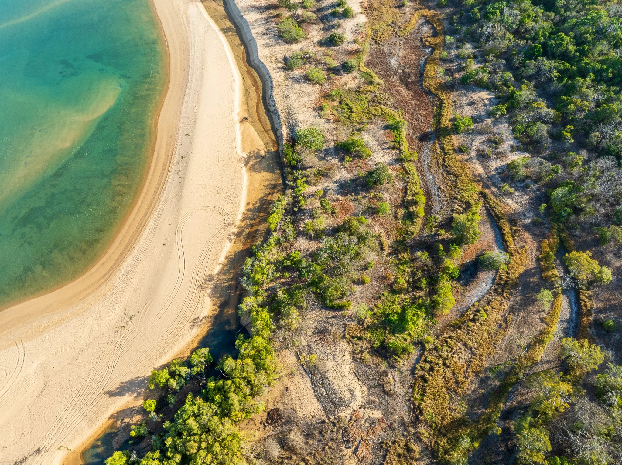
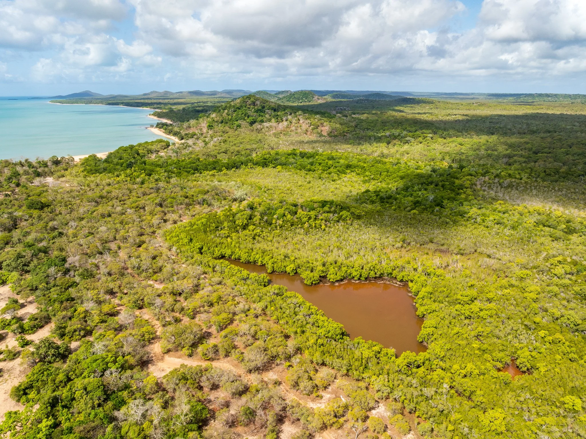
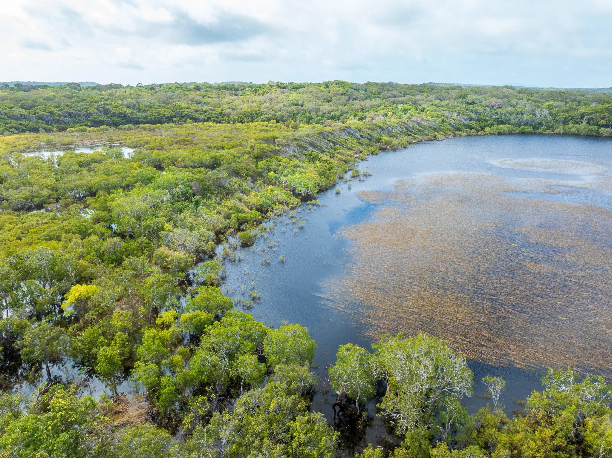
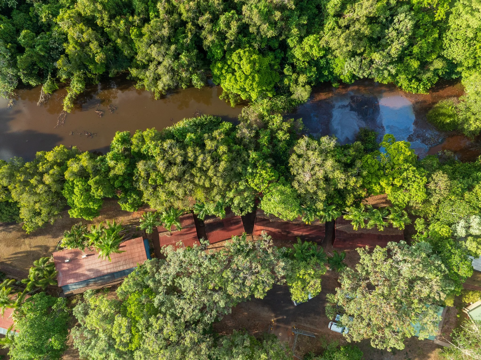
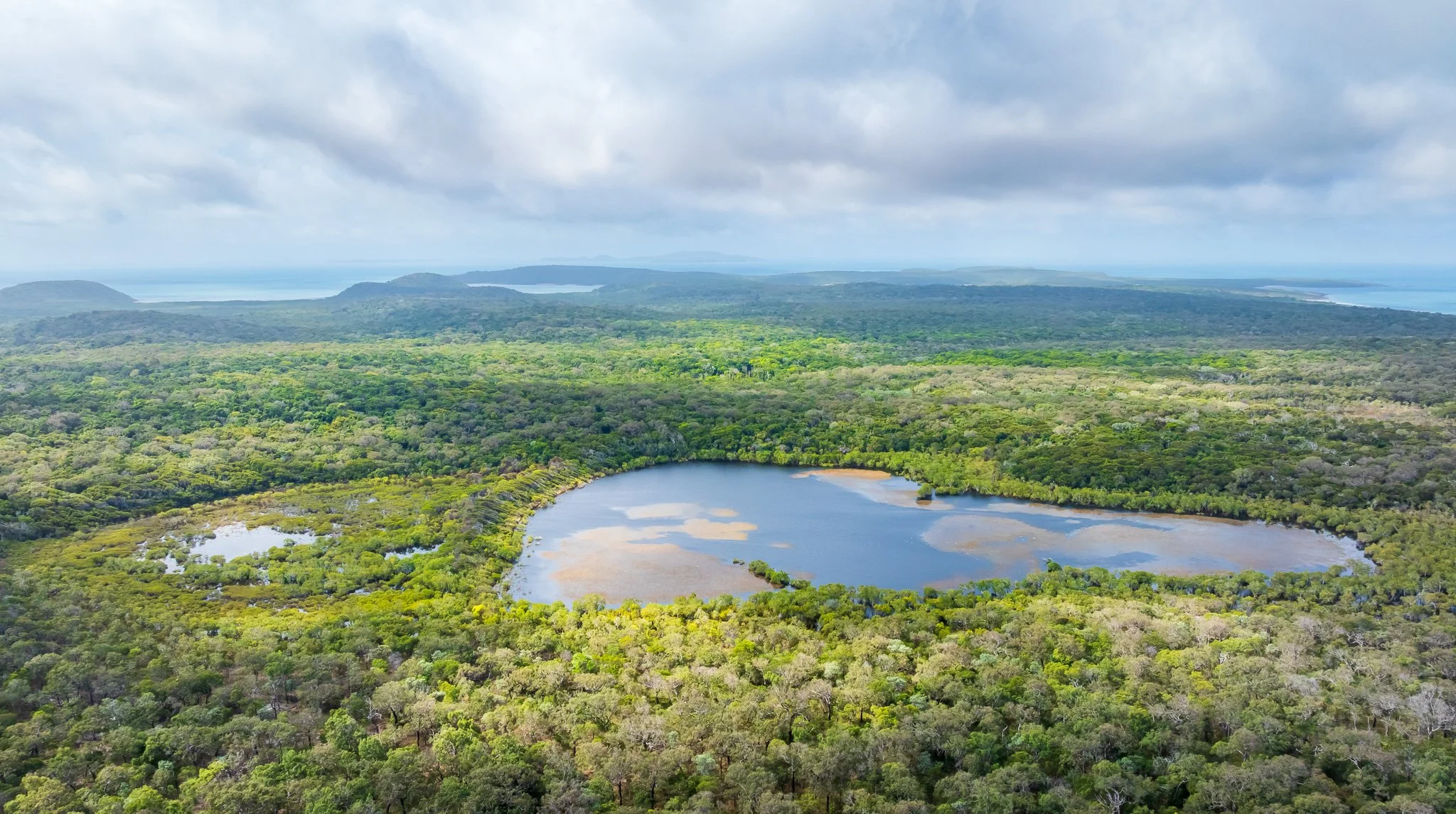
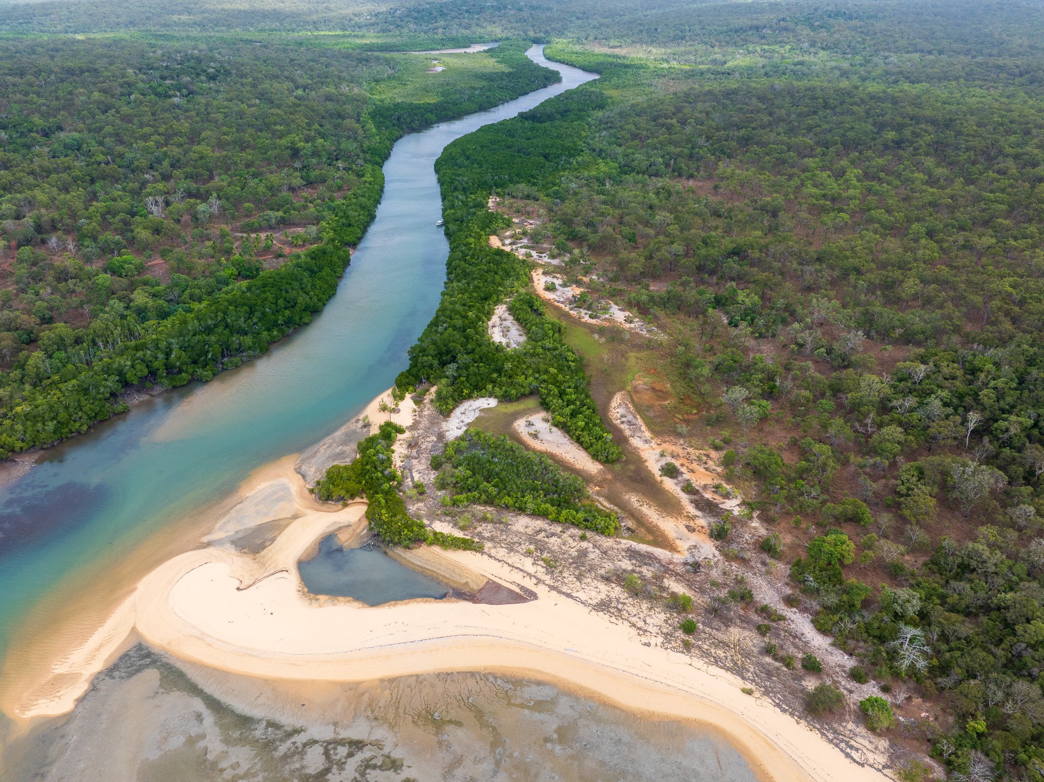
From the air, the consequences of this are written clearly across the landscape. The Jardine's floodplain spreads wide through soft Quaternary alluvium — the unit geologists label Qa on the surface map — creating the oxbow lakes, abandoned channels and wetland complexes that appear as shining irregular shapes from altitude. During the wet season, the entire system expands dramatically. Water moves across the landscape in sheets, filling swales and depressions, turning the Jardine's influence zone into something closer to an inland sea.
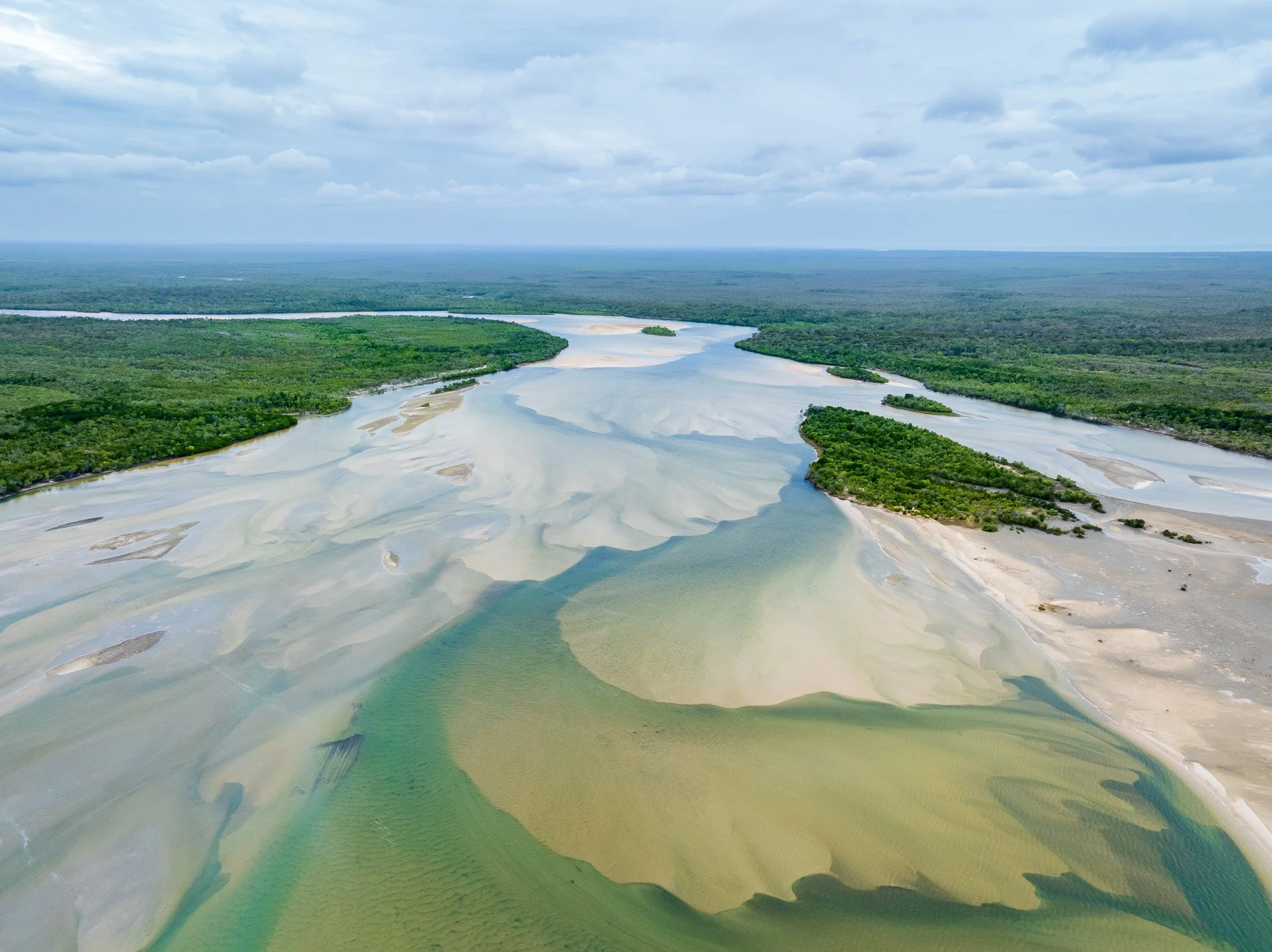
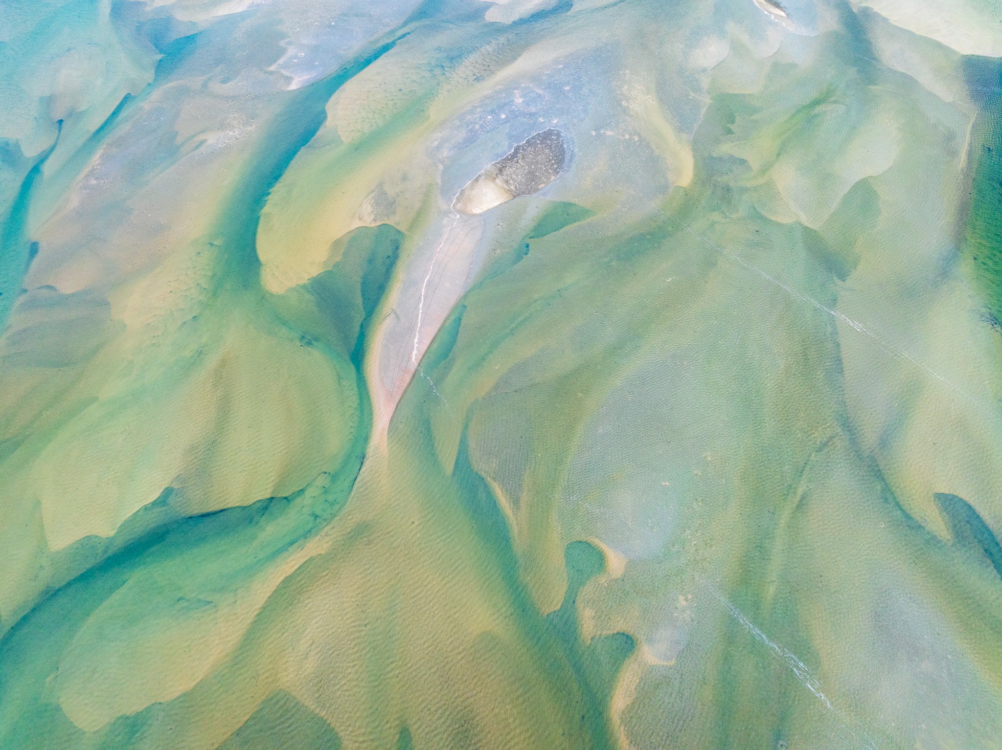
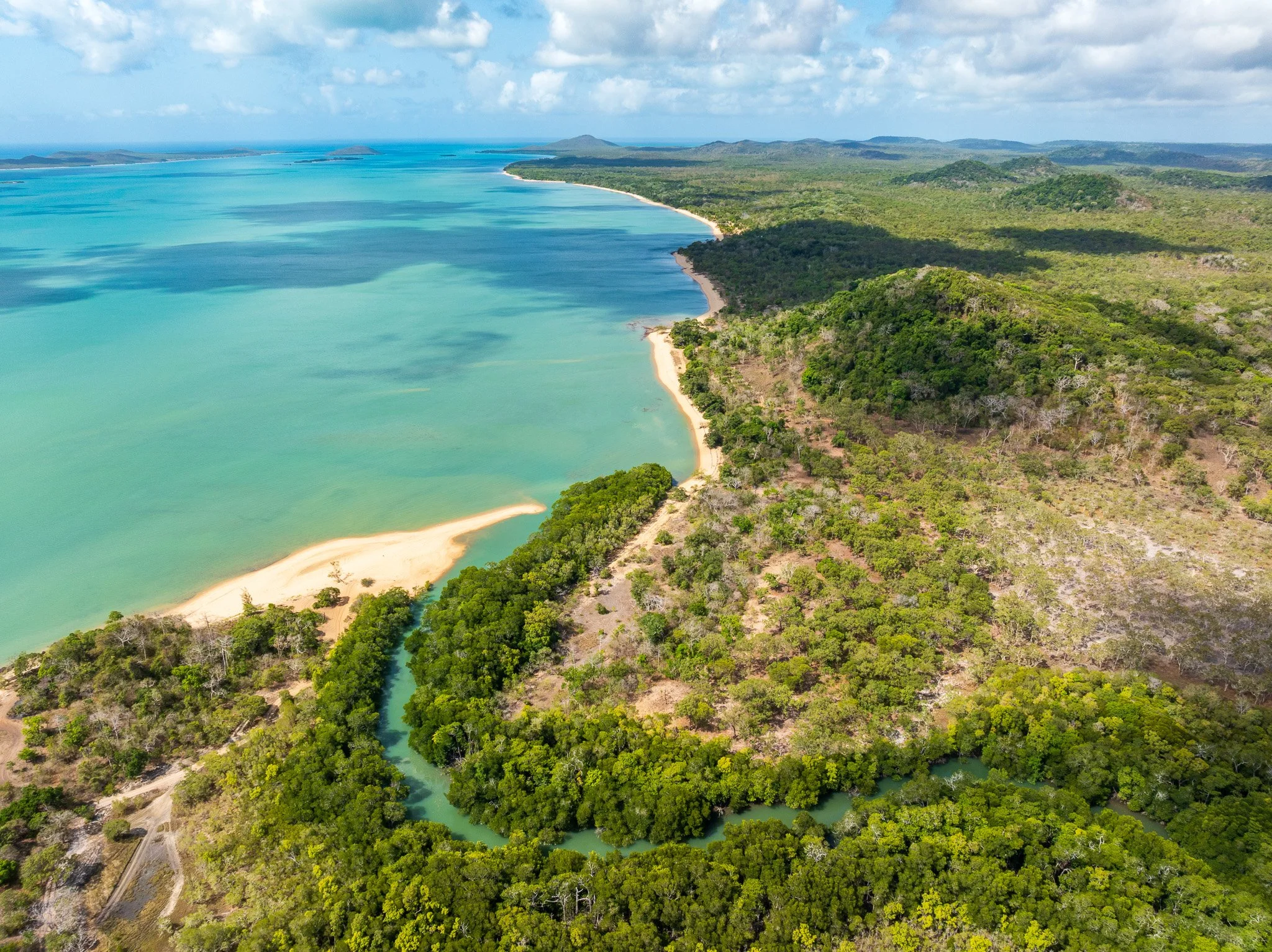
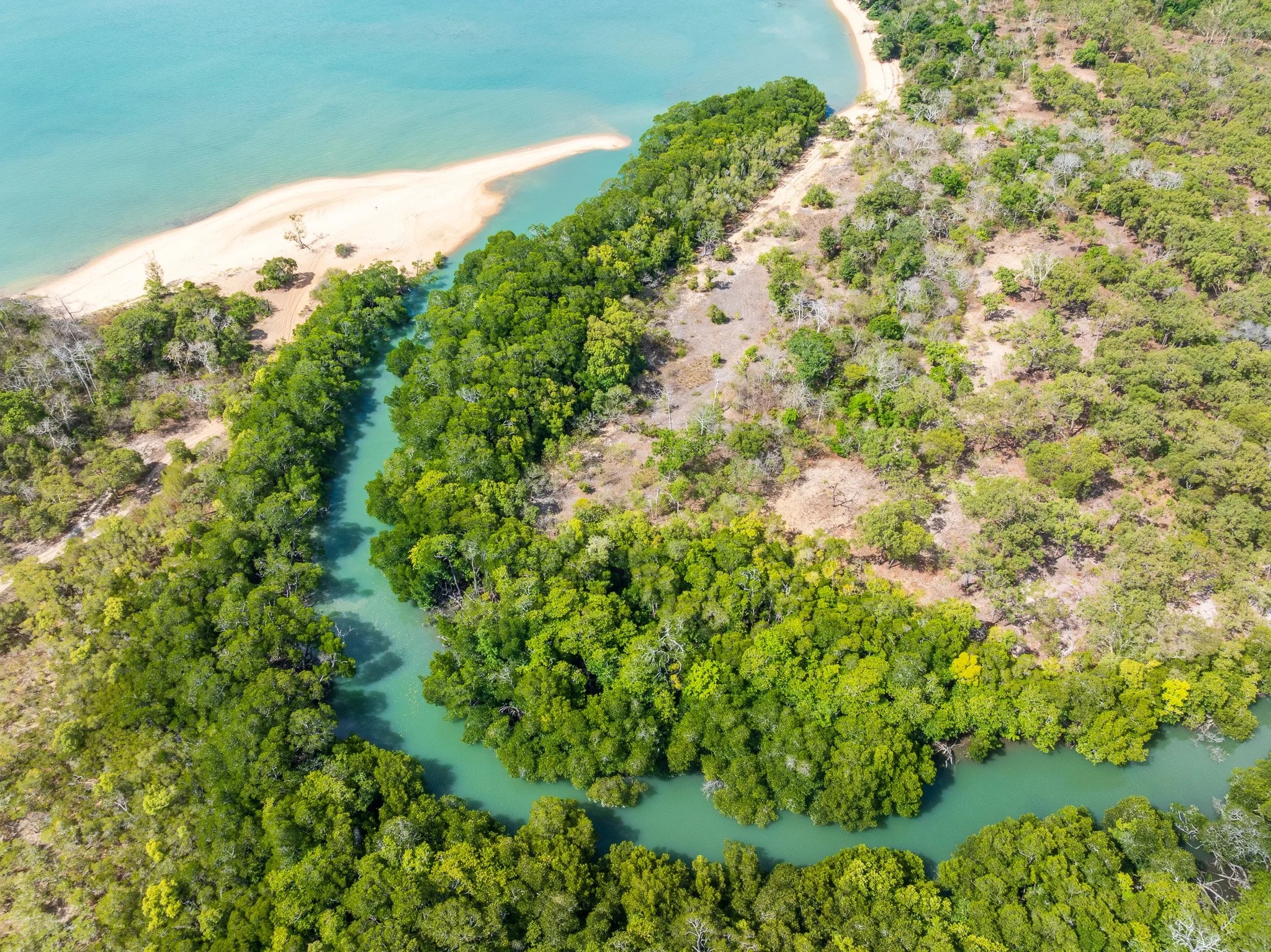
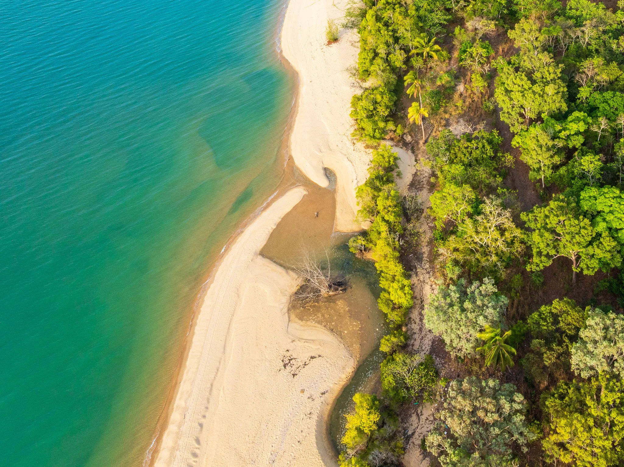
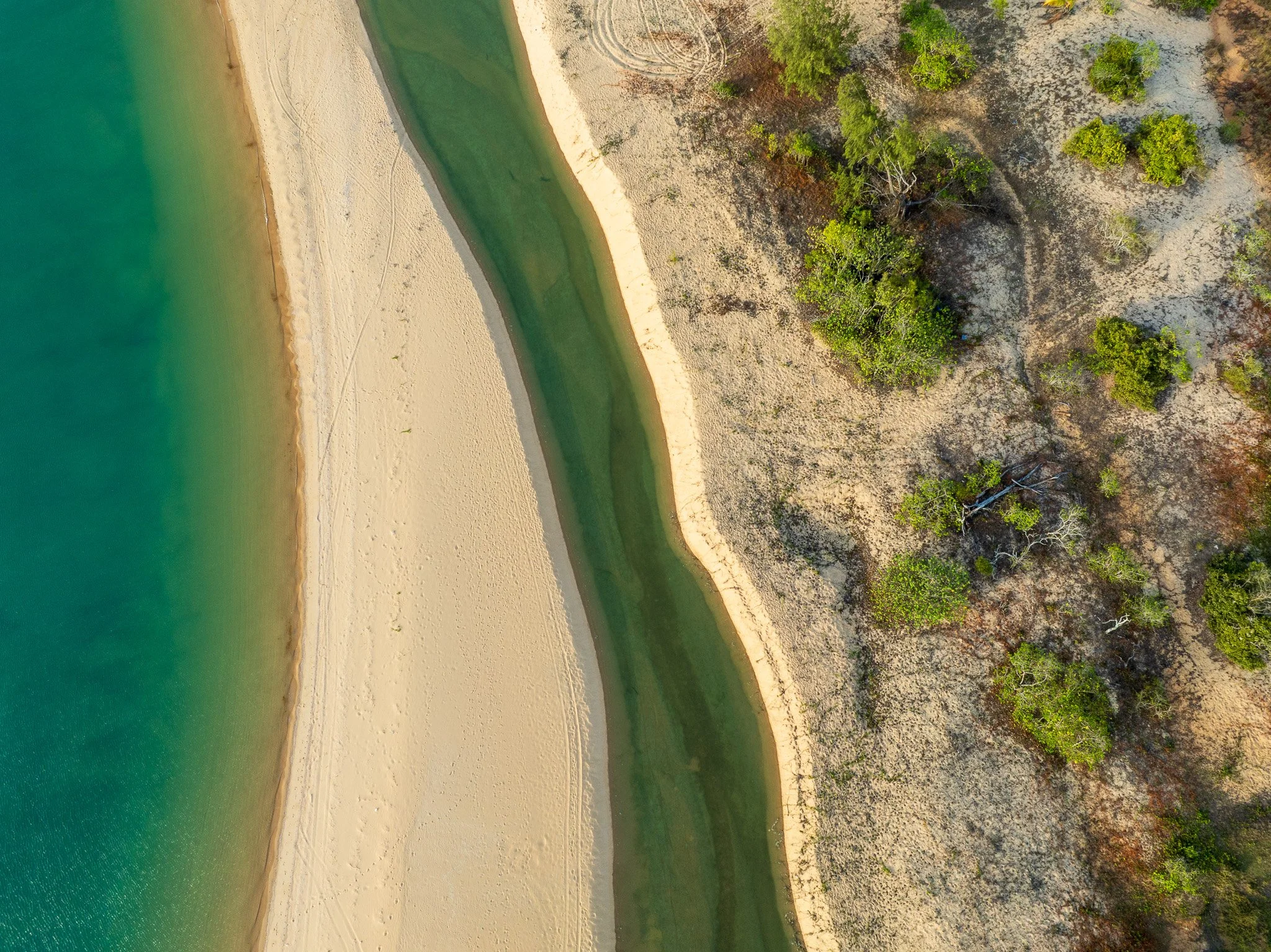
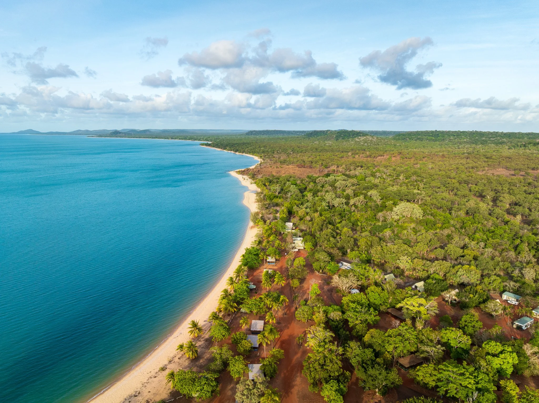
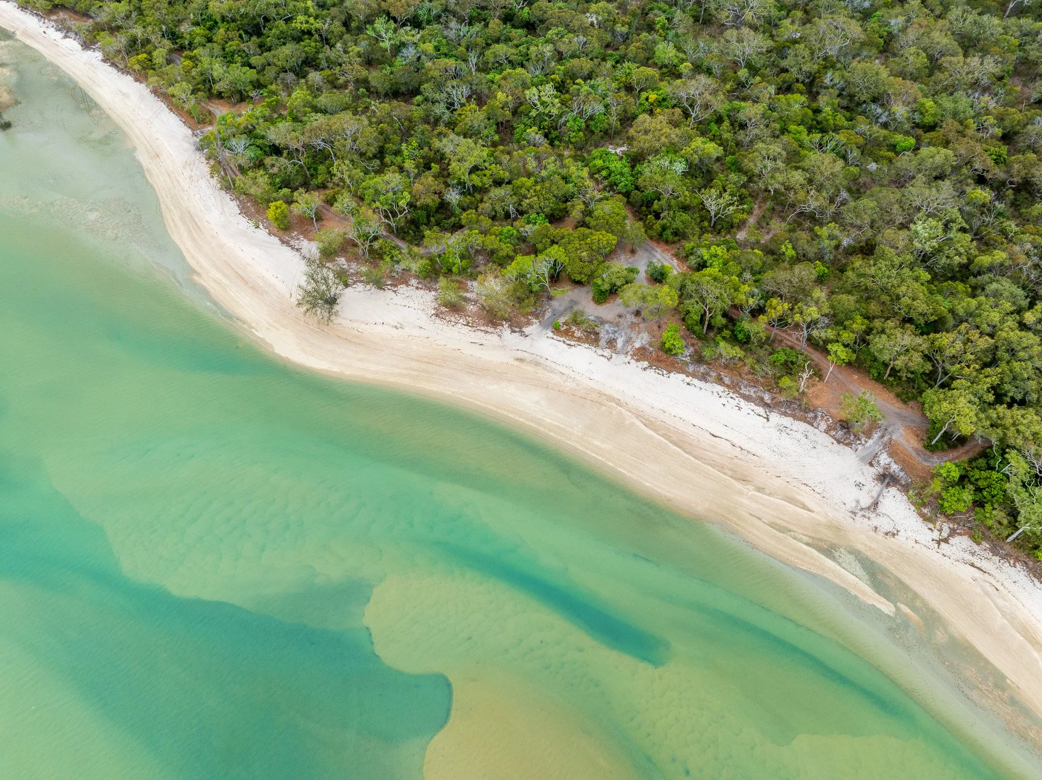
The tidal systems at the coast tell a different part of the same story. Where the Jardine meets Torres Strait, freshwater and salt water negotiate a boundary that shifts with every tide and every season. The intricate drainage patterns visible from above — those branching channels cutting through coastal flats — are Holocene tidal deposits, laid down in the last 10,000 years as sea levels stabilised following the end of the last glacial period. They are among the most recently formed features in this landscape, still actively being shaped.
Flying over the NPA in the dry season, the water is still everywhere. This is a landscape that appears dry until you understand how much water moves beneath and across it — stored in sandstone, released through springs, sustained by a catchment that receives rain even when the rest of northern Australia does not.
SECTION 3: ECOSYSTEMS FROM ABOVE — Reading Vegetation as Landscape Story
From altitude, vegetation isn't just cover — it's a map of everything happening underneath. Soil type, water availability, flood duration, fire history: all of it is legible in the patterns that aerial perspective reveals. The NPA is one of the more complex reads I've encountered.
The most immediately visible pattern is the relationship between the freshwater wetland systems and the vegetation communities that surround them. Melaleuca woodlands — paperbark trees — follow the wetland margins precisely, their distribution tracking the subtle elevation changes that determine how long water sits after rain. From above they appear as darker, denser patches surrounding the more open wetland areas, a living contour map of the hydrology beneath.
The Jardine catchment contains one of the largest stands of cypress pine in northern Australia — an unexpected presence in a landscape dominated by tropical wetland imagery. The heathland communities on the sandy ridges are equally distinctive: low, dense, fire-adapted, supporting carnivorous plants including sundews, bladderworts and, in suitable habitats, the northern pitcher plant — a range of species found nowhere else in this density. This is one of Australia's great botanical oddities — a landscape that looks tropical but supports plant communities more characteristic of nutrient-poor sandy heaths than of rainforest margins.
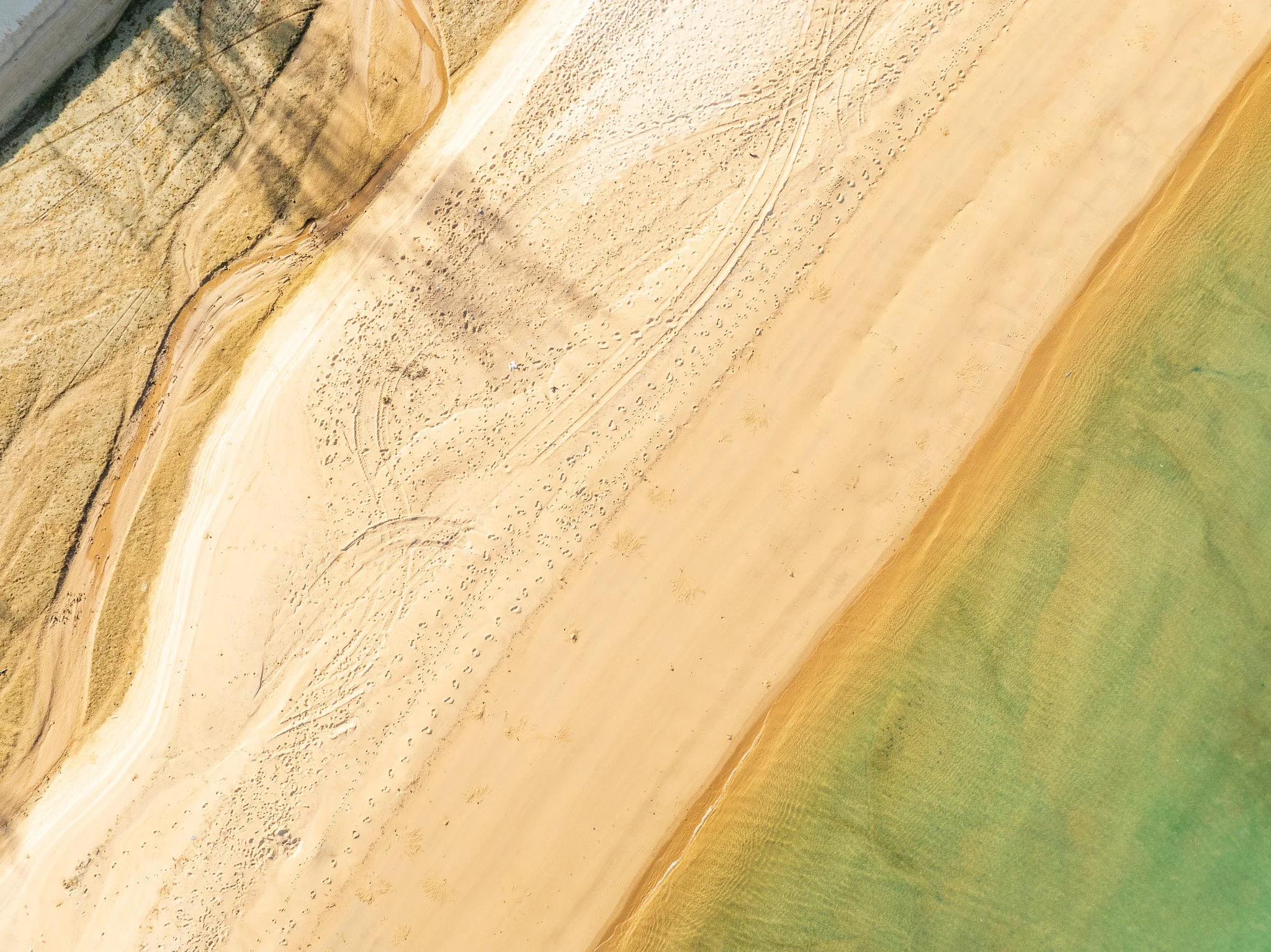
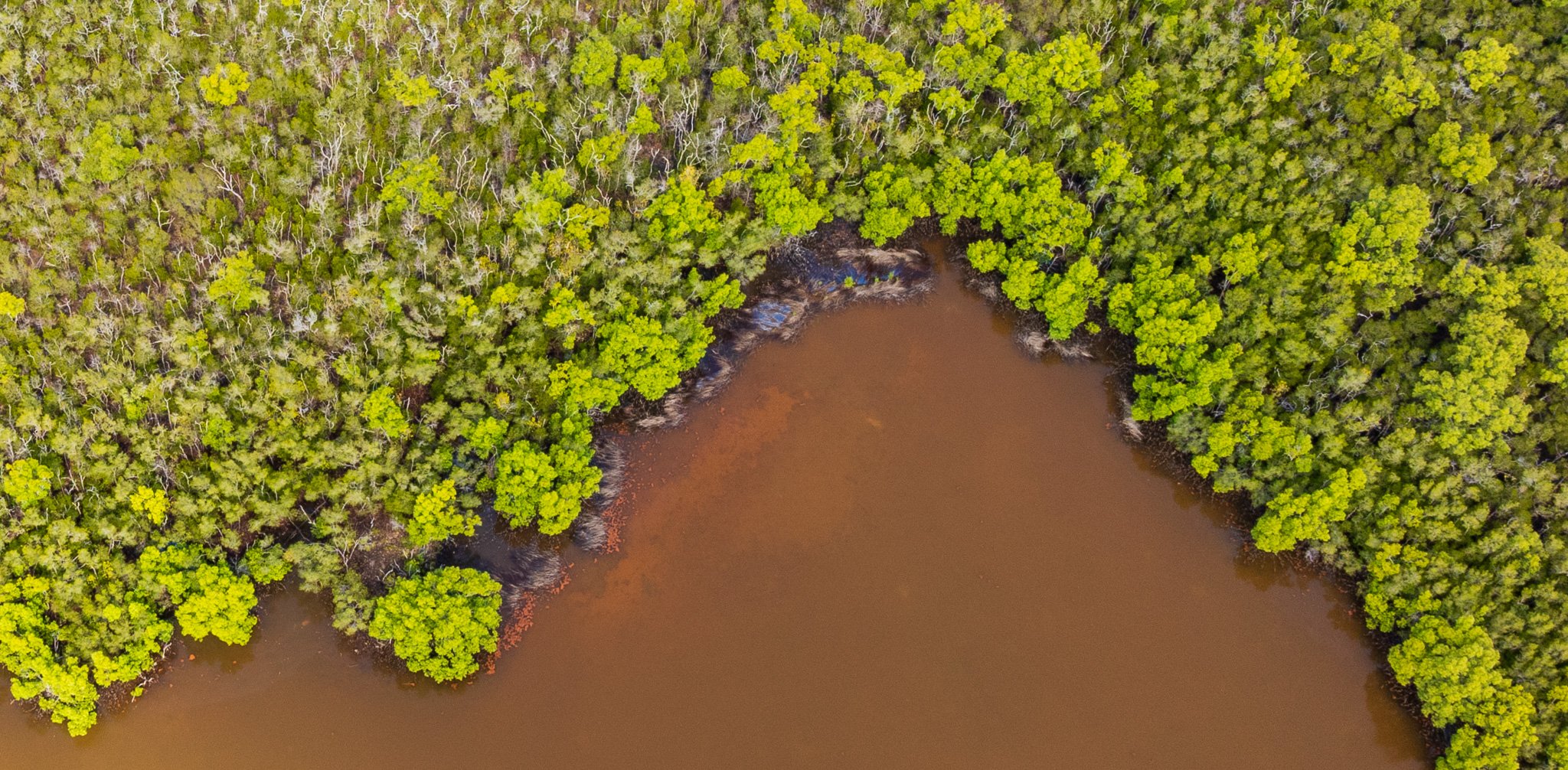
Along the coasts, the story shifts again. Mangrove systems — particularly extensive on the western Torres Strait shore — appear as dark green linear patterns in aerial imagery. Their extent and health are a direct indicator of coastal condition; mangroves are sensitive to changes in sediment load, salinity, and sea level. On the higher-energy eastern coast facing the Coral Sea, the vegetation communities change entirely: coastal dunes stabilised by dense scrub, beach systems exposed to open ocean swell.
The grasslands surrounding the communities read differently again — more open, maintained by a combination of traditional burning practices over millennia and the seasonal flood and dry cycle that keeps woody vegetation from fully establishing. That openness has its own history, its own management logic, legible from above even when the specifics of that management are not yet fully known to me.
SECTION 4: PEOPLE AND COUNTRY — Histories Written in Settlement Patterns
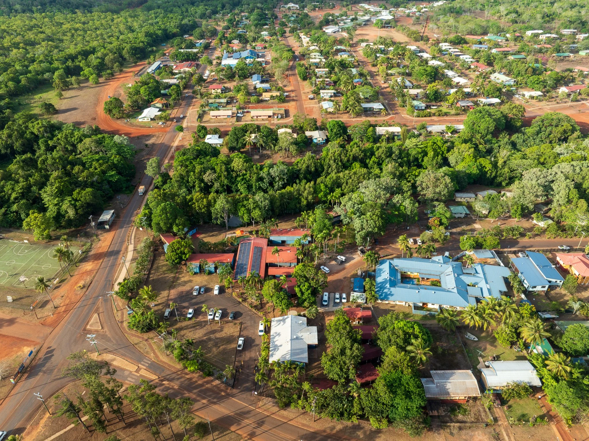
The five communities of the Northern Peninsula Area each have a distinct origin story, and those origins are — in every case — readable in the landscape patterns aerial perspective reveals. Settlement position, infrastructure layout, the relationship between community and coast: all of it reflects specific histories that unfolded across Apudthama Country over the past two centuries.
Apudthama Country and its traditional custodians
You are standing — or in this case, flying — on Apudthama Country. The NPA encompasses the traditional Countries of the Angkamuthi, Atambaya and Gudang Yadhaykenu peoples, whose connections to this landscape predate European contact by tens of thousands of years. In 2014 the Federal Court recognised members of these groups as the Traditional Owners and Native Title Holders of large parts of Northern Cape York, holding their rights and interests through Ipima Ikaya Aboriginal Corporation — a name meaning One Voice, One Talk. Their customs and laws are, as the determination puts it, fundamental to their traditional system of ownership of these areas.
Injinoo, formerly known as Cowal Creek — meaning Small River — was the first established settlement in the NPA region, where four semi-nomadic tribes came together in peace. Their descendants, the Angamuthi, Atambaya and Gudang Yadhaykenu clans, are the traditional owners of this land and still practise traditional land and sea hunting rights, cultural ceremonies, dance, song and cooking. The Apudthama Land Trust, a board of elected community members, manages the NPA Land and Sea Rangers based at Injinoo — responsible for the management of local natural resources and the intergenerational transfer of knowledge from Elders to young people. The traditional language is Injinoo Ikaya.
Umagico — known as Alau in local Aboriginal language, meaning Black Headed Python — carries a more complex founding history. Its historical founders are the people of the East Coast Lockhart River region, who were forced from their own land and given permission by the people of Injinoo to settle here. During the 1940s, families from Moa Island in the Torres Strait also moved to Injinoo and later to Umagico, seeking improved living conditions including fresh water. Other Torres Strait Islander families followed, drawn to what the community's own name suggests: Umagico is known as a place of springs, where fresh spring water is plentiful in the coastal landscape, and lily ponds and billabongs fill the wet season country. The traditional language is Kuku Ya'u.
The Kaurareg connection
The Kaurareg people hold traditional connections to several Torres Strait islands — Muralag (Prince of Wales Island), Kirriri (Hammond Island), Ngurupai (Horn Island) and Waiben (Thursday Island) — and maintain close cultural and trading ties with Aboriginal groups of the Northern Peninsula Area. Their knowledge systems bridge island and mainland, terrestrial and marine. The view from above that shows the NPA coast dissolving into Torres Strait is, in one sense, a map of that cultural geography: a country that was never defined by the land/sea boundary that European settlement imposed on it.
New Mapoon: settlement through displacement
New Mapoon's position on the landscape is the result of one of the most documented acts of forced removal in Queensland's history. The original Mapoon mission was established in 1891 by the Presbyterian Church on the traditional lands of the Tjungundji people, on the western Cape York coast near Weipa — more than 200 kilometres south of where New Mapoon now stands. Other clans were also taken to the mission, including the Mpakwithi, Taepithiggi, Thaynhakwith, Warrangku, Wimarangga and Yupangathi peoples, alongside descendants of South Sea Islanders relocated there by Presbyterian missionaries.
The people of Mapoon were forcibly removed from their homes and mission housing in the 1960s, to allow bauxite mining to commence in the area. Some families went south to resettle around Weipa, Normanton and Cairns. Others moved north to a resettlement in the NPA, named New Mapoon. On the night of 15 November 1963, Queensland police arrived by vessel. Houses were burned.
The resettlement site was chosen in part because of a freshwater spring at the back of the community. The area carried its own traditional name — Mandignu, meaning Place of Spring — a landscape logic that pre-existed the displacement that brought people here. The community's residents include descendants of Tjungundji and other groups from the original Mapoon reserve, and descendants of South Sea Islanders. Their traditional language has been lost; Torres Strait Creole and New Mapoon Creole are spoken today.
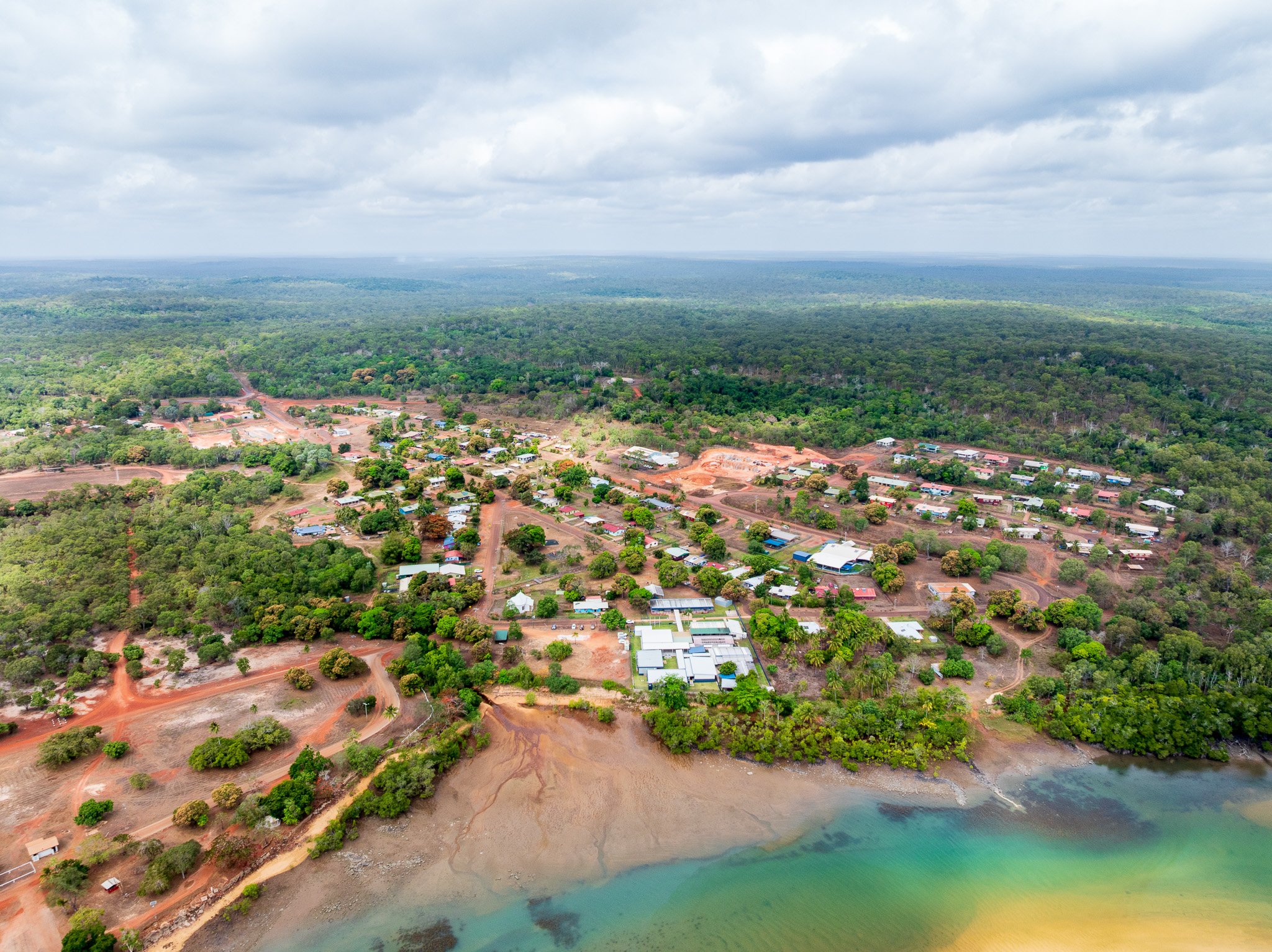
From above, New Mapoon's layout reads as planned settlement — geometric in a way that traditional community patterns are not. The human history behind it is one that the community has carried with remarkable tenacity. The people of New Mapoon still have very strong ties to their homelands, and some have returned to resettle in the area of their original community. They continue to practise culture through art, song and dance — and the New Mapoon Historical Centre and NPA Art Centre and Gallery preserve and share those stories with visitors.
Bamaga and Seisia: a chosen migration
The founding of Bamaga is a different kind of story — one of deliberate, community-led migration in response to growing concern about freshwater supply and the future viability of island life.
Saibai Island is a small, low-lying island of alluvial soils, just 5km from Papua New Guinea, prone to flooding that regularly contaminates freshwater supplies with seawater from storm surges. When the people of Saibai Island began to fear for their future water security, a few families decided to relocate to the mainland. In 1948, a government reservation was created for Saibai Island people wishing to migrate. The Injinoo people granted permission for them to settle in their area.
The first families arrived at Muttee Heads on the western NPA coast in 1947, establishing a temporary settlement using old army buildings remaining from the Second World War. As construction of the Bamaga township progressed, more Saibai Islander families made the crossing. By 1954 the majority of construction was completed and the community settled permanently, naming the township after their founder, Bamaga Ginau. The original inhabitants of Saibai — the Koeybuway and Moegibuway peoples, Melanesian in origin — had lived there for thousands of years following traditional patterns of hunting, fishing, agriculture and trade. The language of Bamaga is Kalaw Kawaw Ya.
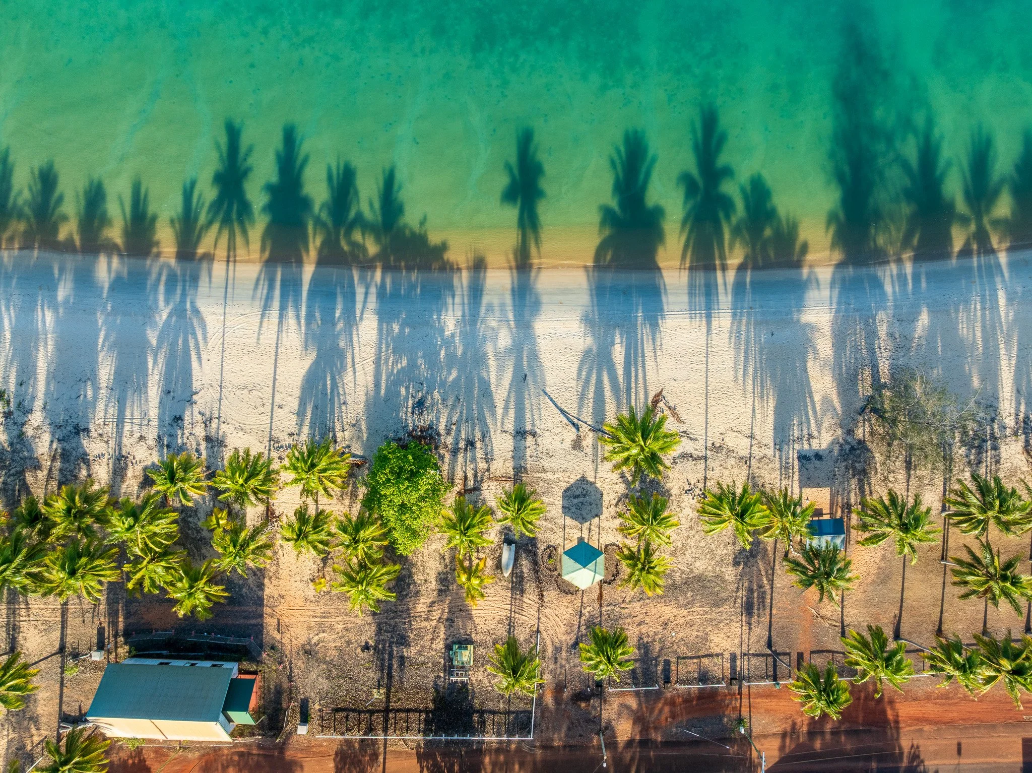
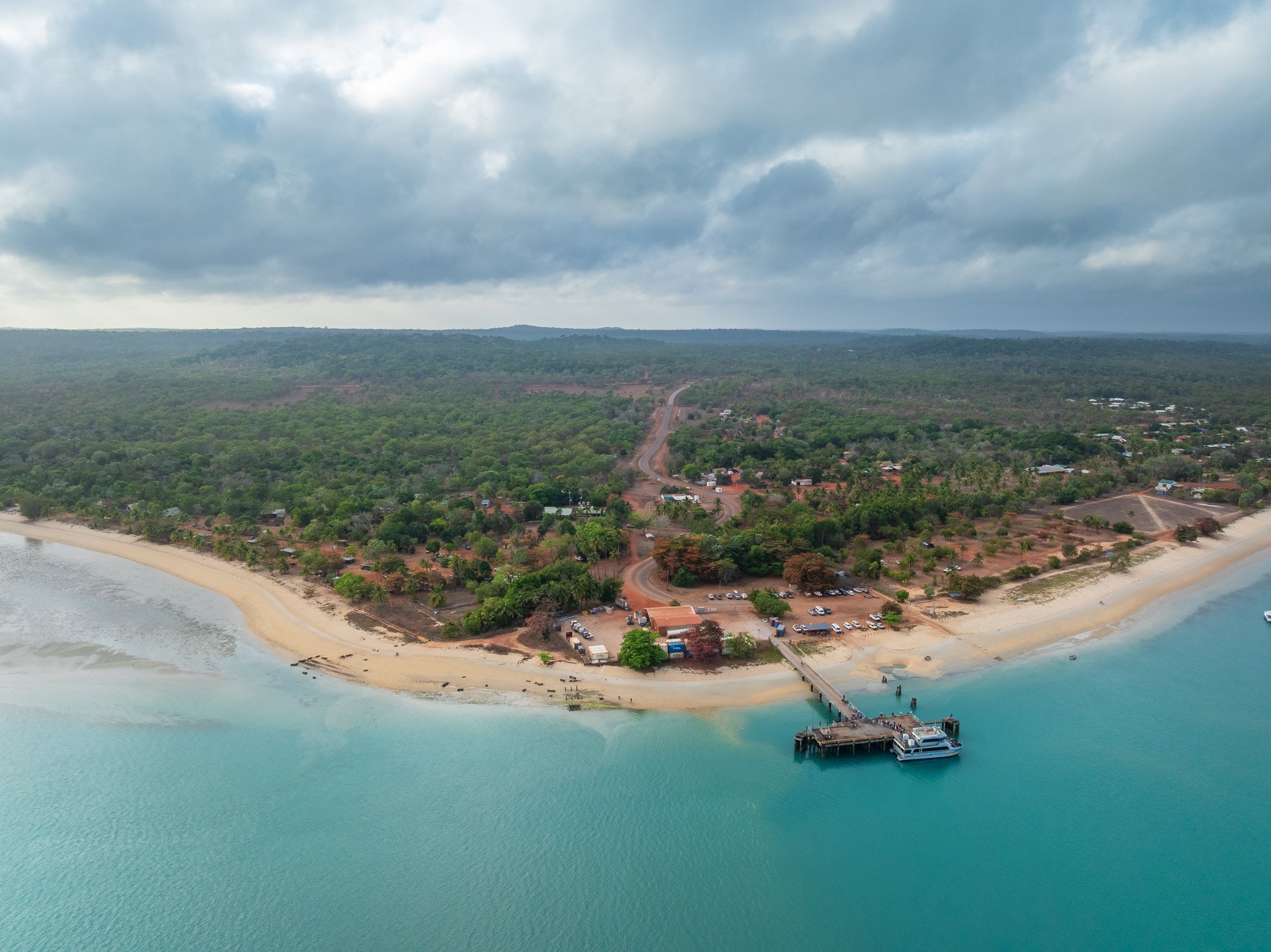
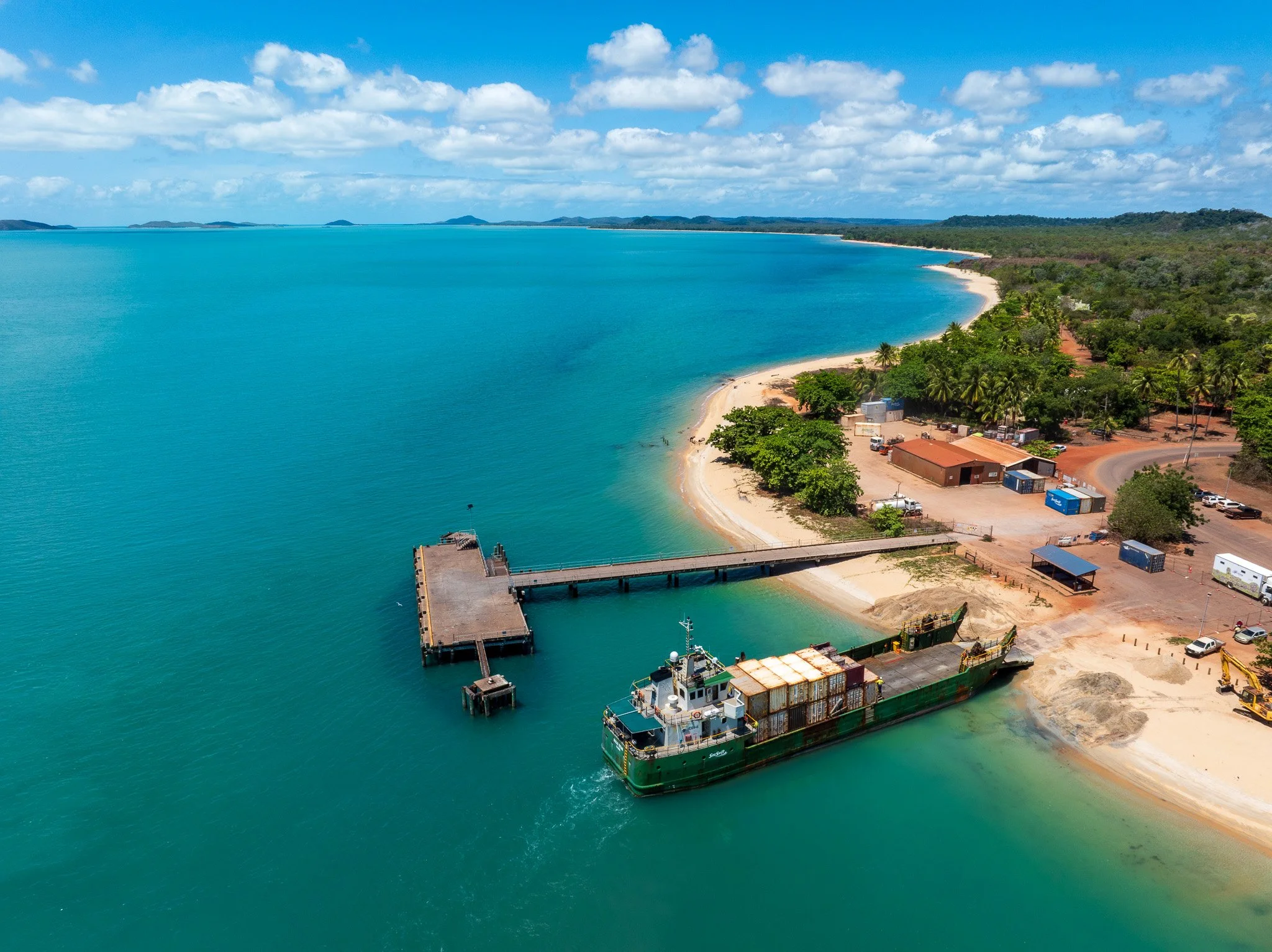
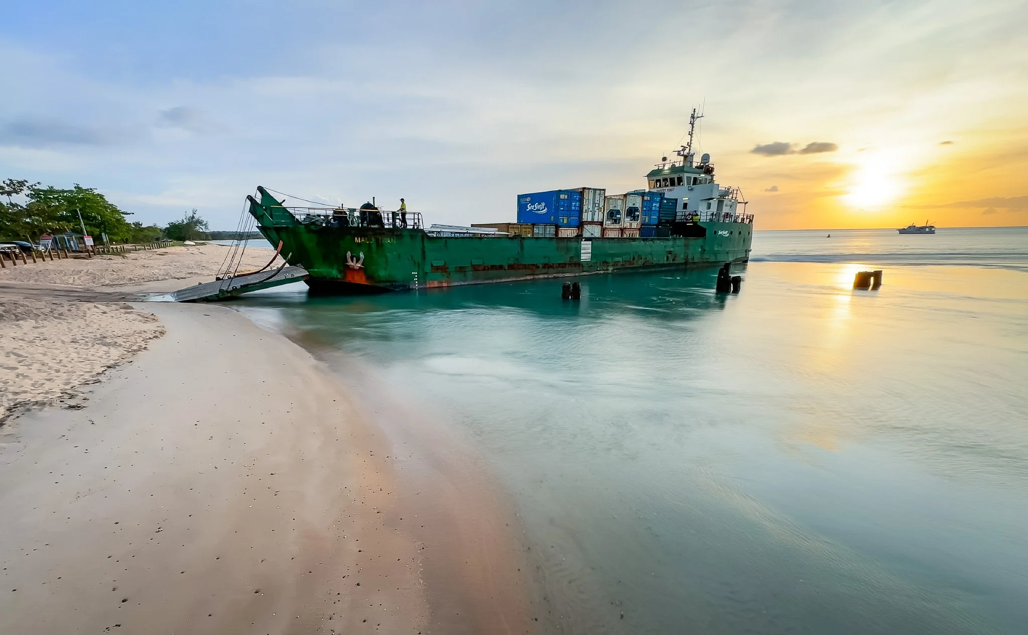
The smaller community at Red Island Point became Seisia — its name formed from the first letters of the names of six founding families: Sagaukauz, Elu, Ibuai, Sunai, Isua and Aken. The families dwelled close to the shoreline and planted coconut trees to stabilise the seafront land; the tallest coconut trees today mark where those first homes stood. Seisia is the most northern community on the Australian mainland. The Seisia Wharf, once used by the army in World War Two and later to export local agricultural produce to the Torres Strait islands, now provides the region's essential supply link and the departure point for Peddell's Ferry to Thursday Island.
From above, both Bamaga and Seisia occupy positions that reflect practical environmental intelligence: elevated terrain with access to freshwater and marine resources, on ground that drains well and avoids the extensive wetland systems to the south. The decisions made by those Saibai families — about where to settle, how to position themselves relative to water and coast — echo the same landscape logic that Aboriginal groups had developed over thousands of years on this same Apudthama Country.
SECTION 5: THE VIEW FROM HERE — What the Continental Edge Reveals
There is something specific that happens when you fly over the tip of Cape York and look north across Torres Strait. The continent beneath you becomes visible as a thing with an edge — not an abstraction on a map but a physical reality, land thinning and fragmenting into water, Australia running out.
The islands of Torres Strait appear as green shapes in an otherwise blue field. Some of them — Saibai, Boigu — are so low they seem barely to exist above the waterline. The story of the Saibai migration in 1947 becomes legible from up here in a way it isn't from the ground: you can see exactly what the families who made that decision were looking at, and why the mainland beckoned.
What the geological map shows, and what the aerial perspective confirms, is that this is a landscape still in formation. The Holocene tidal deposits are geologically brand new. The coastal systems are actively responding to sea level and sediment dynamics. The wetlands expand and contract with each monsoonal season. The Jardine continues its patient movement across its floodplain, leaving oxbow lakes and abandoned channels as evidence of where it has been.
The human histories layered through this country — tens of thousands of years of Aboriginal occupation, the Kaurareg's island-and-mainland geography, the 1947 migration from Saibai, the forced displacement that created New Mapoon — are not separate from the landscape. They are part of how this country has been read, managed, understood and, in some cases, grieved. Aerial perspective can't access that depth. But it can make the country legible enough that you begin to ask the right questions about it.
That is, I think, what this kind of interpretation is for. Not to replace the knowledge that already lives here. To give people enough of a view that they want to understand it more deeply.
The story at the tip of Cape York is far from complete. I'll keep flying it.
The more you understand your landscape, the deeper your sense of place within it.
New Field Notes delivered directly to you — subscribe free on Substack to follow the journey