Hinchinbrook Island, North Queensland
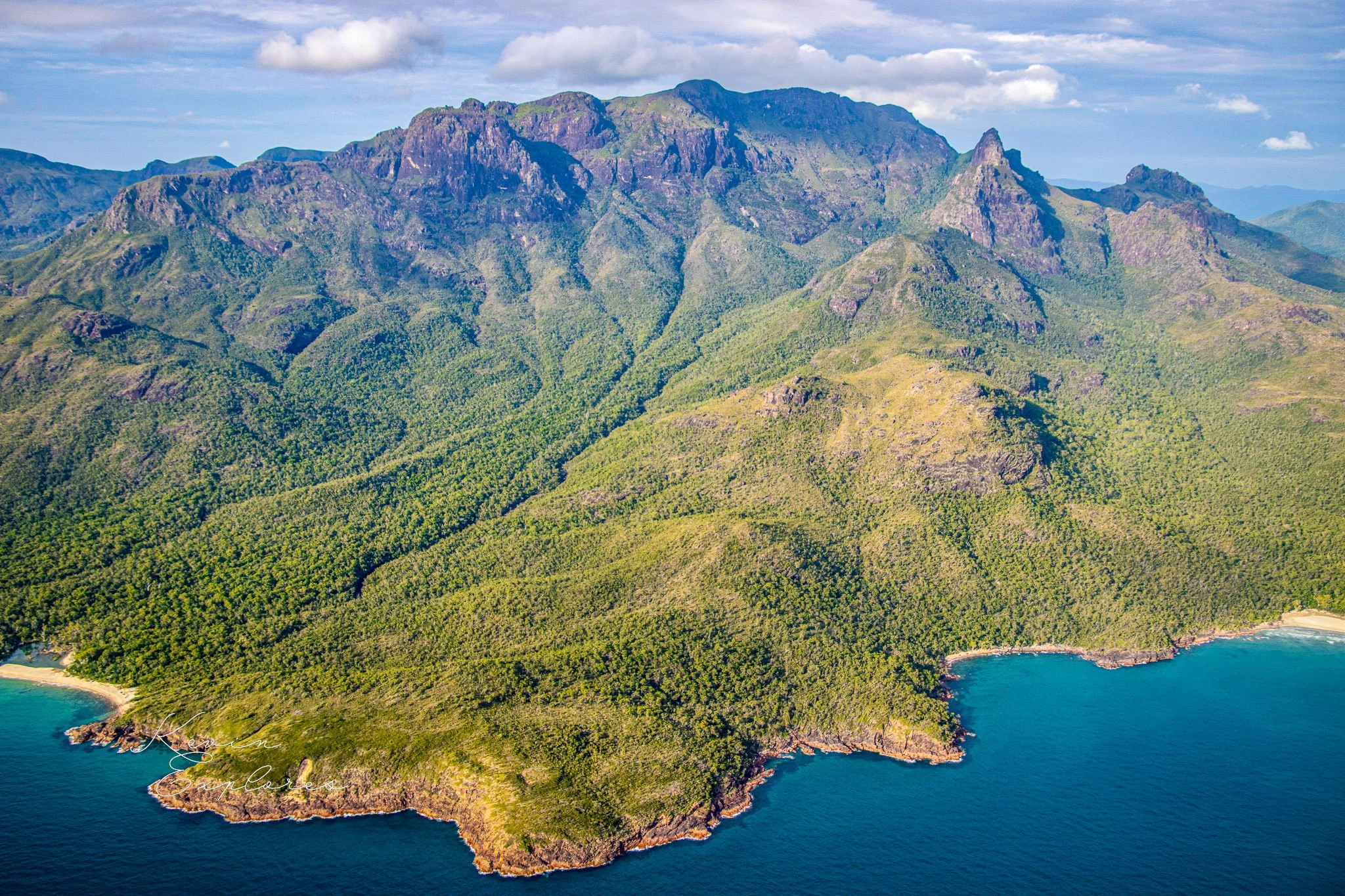


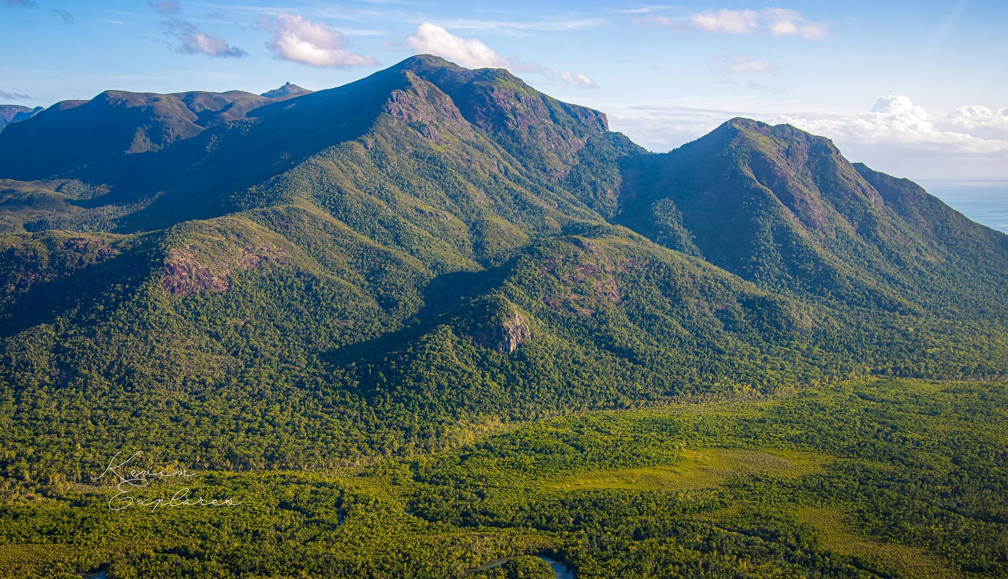


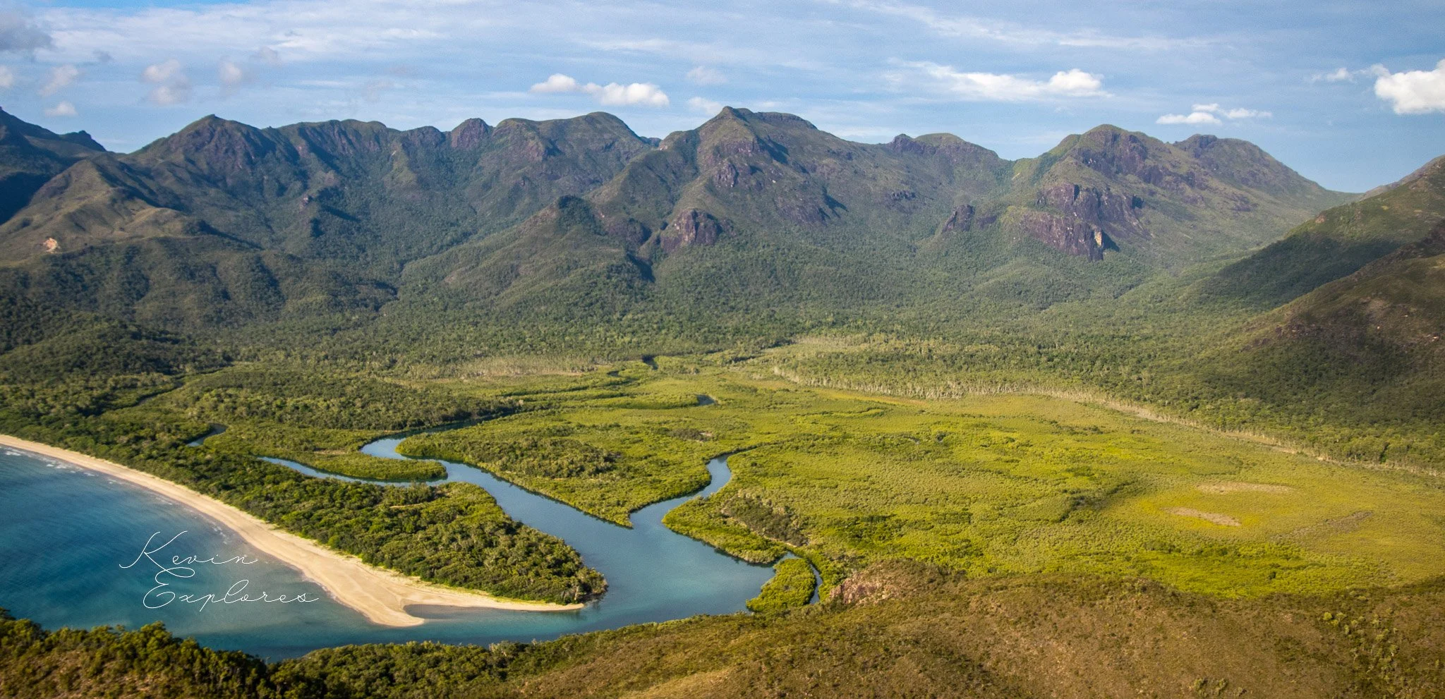


The spires of Hinchinbrook Island, rising 1100 m into the clouds just off the coast at Cardwell, are one of the magical sights of north Queensland. The largest island national park in Australia covers the whole island and a great diversity of habitats.
The famous Thorsborne Trail leads walkers down the east coast for 4 to 5 day hikes, a resort at Cape Richards at the northern and allows relaxing stays, and sailors and sea-kayakers visit its secluded beaches.
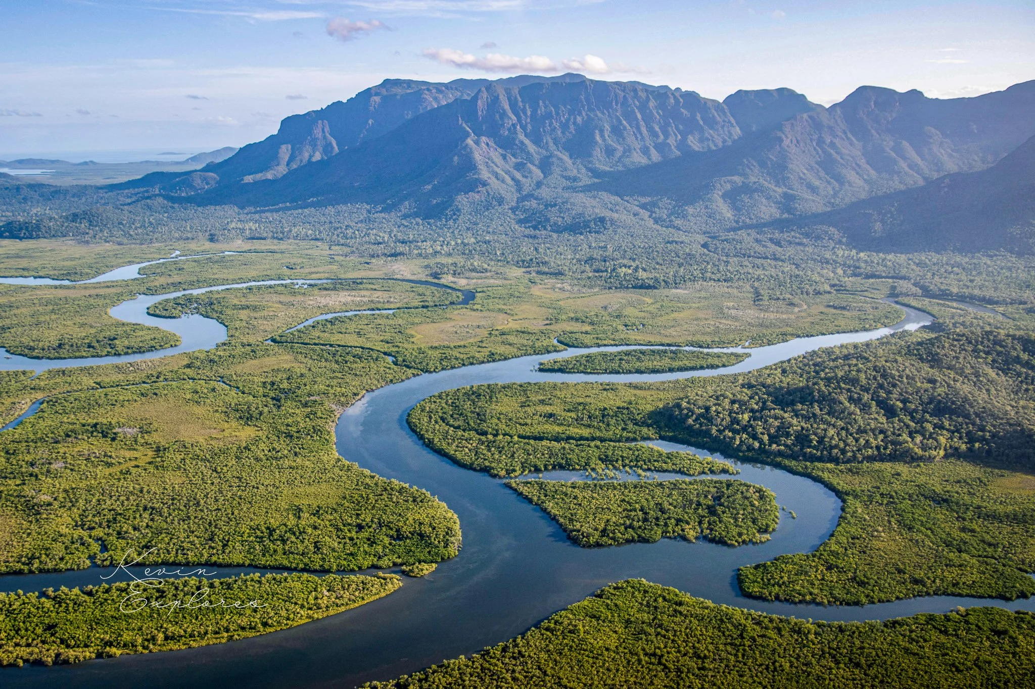
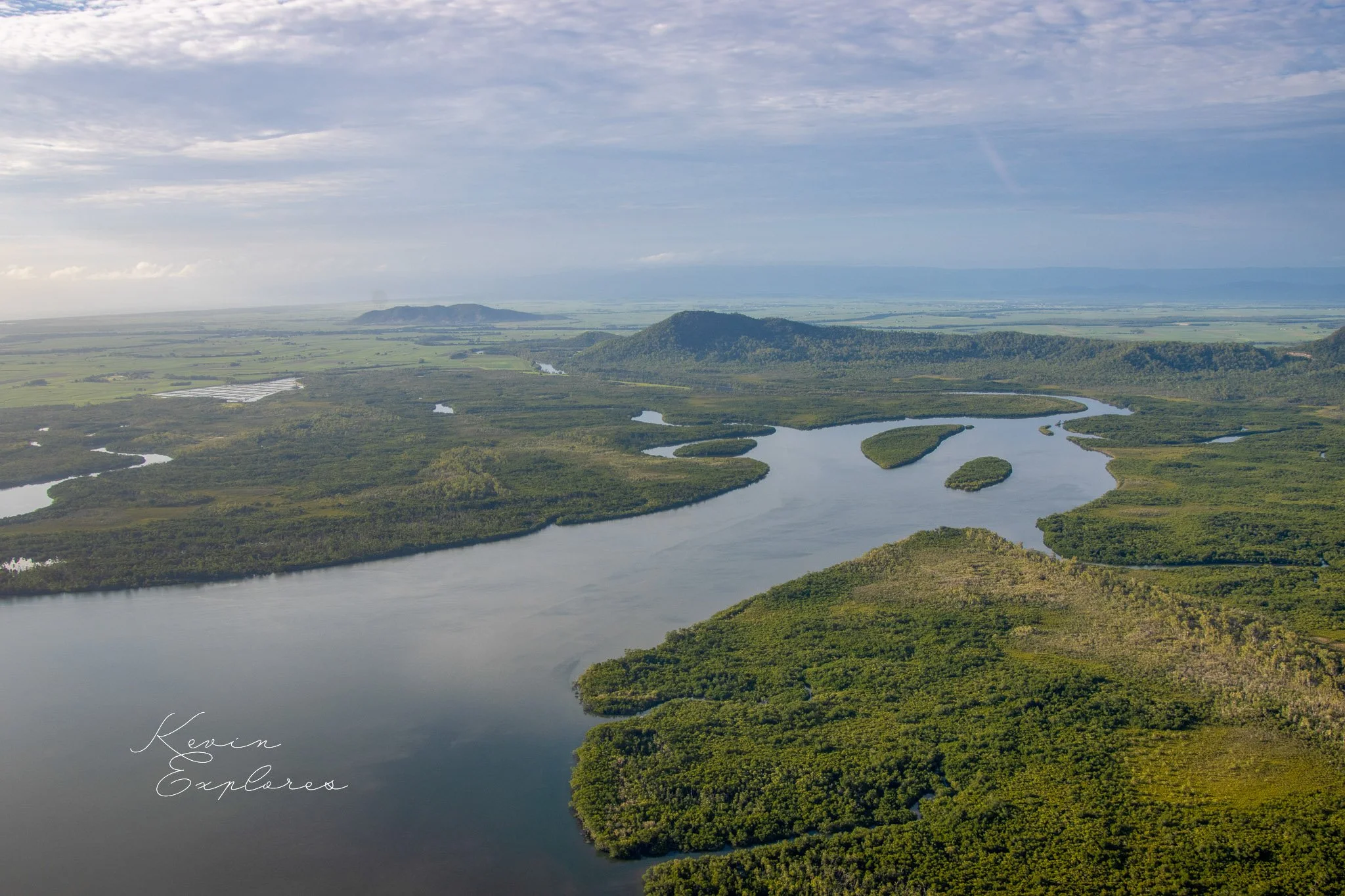
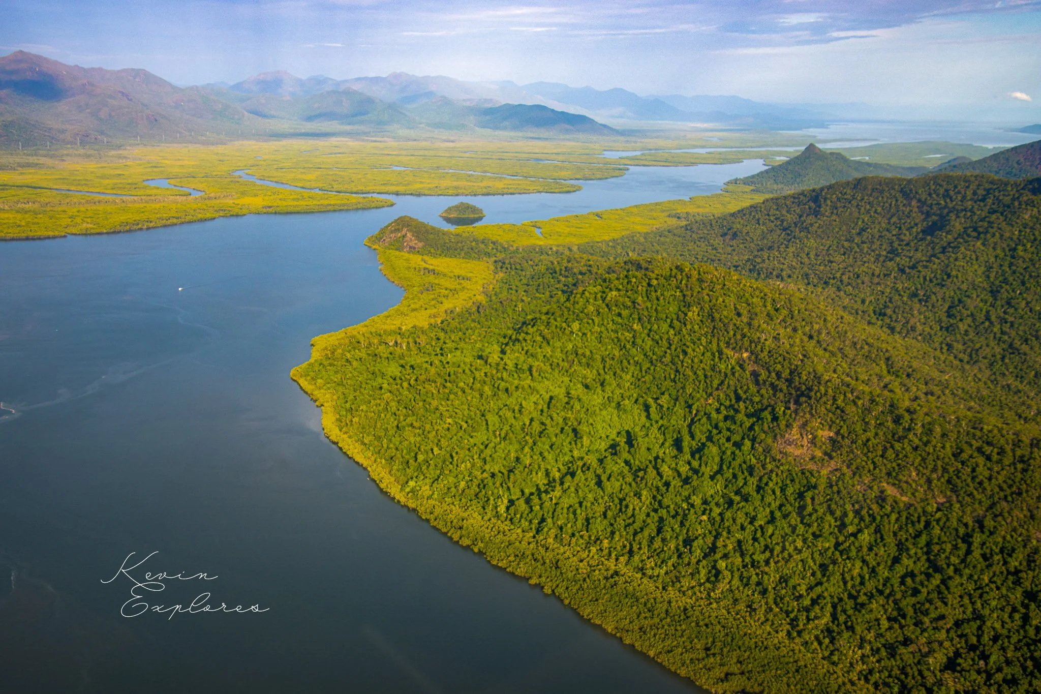
The island is in effect the termination of the Cardwell Range, from which it is separated only by the narrow Hinchinbrook Channel, which would have been dry at times of lower sea level. The Cardwell Range itself is a much dissected spur of the Great Escarpment, which was left behind as the Herbert, Murray and Tully Rivers carved their gorges westwards on both sides.
The mountainous spine of the island, rising above the most visited southeast coast, is eroded on one mass of granite, the Hinchinbrook Granite. This is a pink to red, fine to medium-grained granite containing very little black biotite. The upper parts are cream to white. It is believed to have solidified at a high level in the crust in early Permian times (275 million years ago). An unusual minor constituent is arfvedsonite, a sodium amphibole silicate mineral, but a microscope is needed to identify this. Banding is common, in detail showing downward-facing crystal growth features. Because the granite is essentially composed only of quartz and feldspar, it resists weathering and gives infertile soils. Its upper slopes are rocky and covered in heath, and only in lower sheltered valleys have thicker forests managed a foothold. Dykes of very fined-grained felsite cut the granite in the southeast corner of the island.
On the southern and southwestern coasts the remains of a large rhyolite/microgranite circular ring-dyke complex appears to have been cut by the Hinchinbrook Granite. The southwestern part of the island (Goddard Range) and the northern headlands around Cape Richards are of older, medium to coarse-grained granites with large feldspar crystals. They are similar to the nearby Goold Island Granite which is late Carboniferous in age (301 million years old). The infrequently visited western hills and Cape Sandwich are of rhyolitic to dacitic welded tuffs and other volcanic rocks of the Wallaman Falls Volcanics.
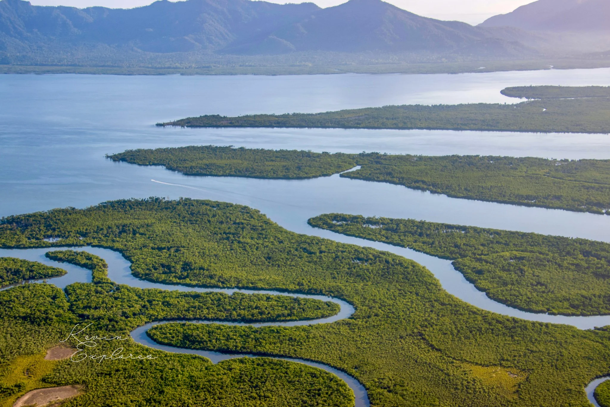
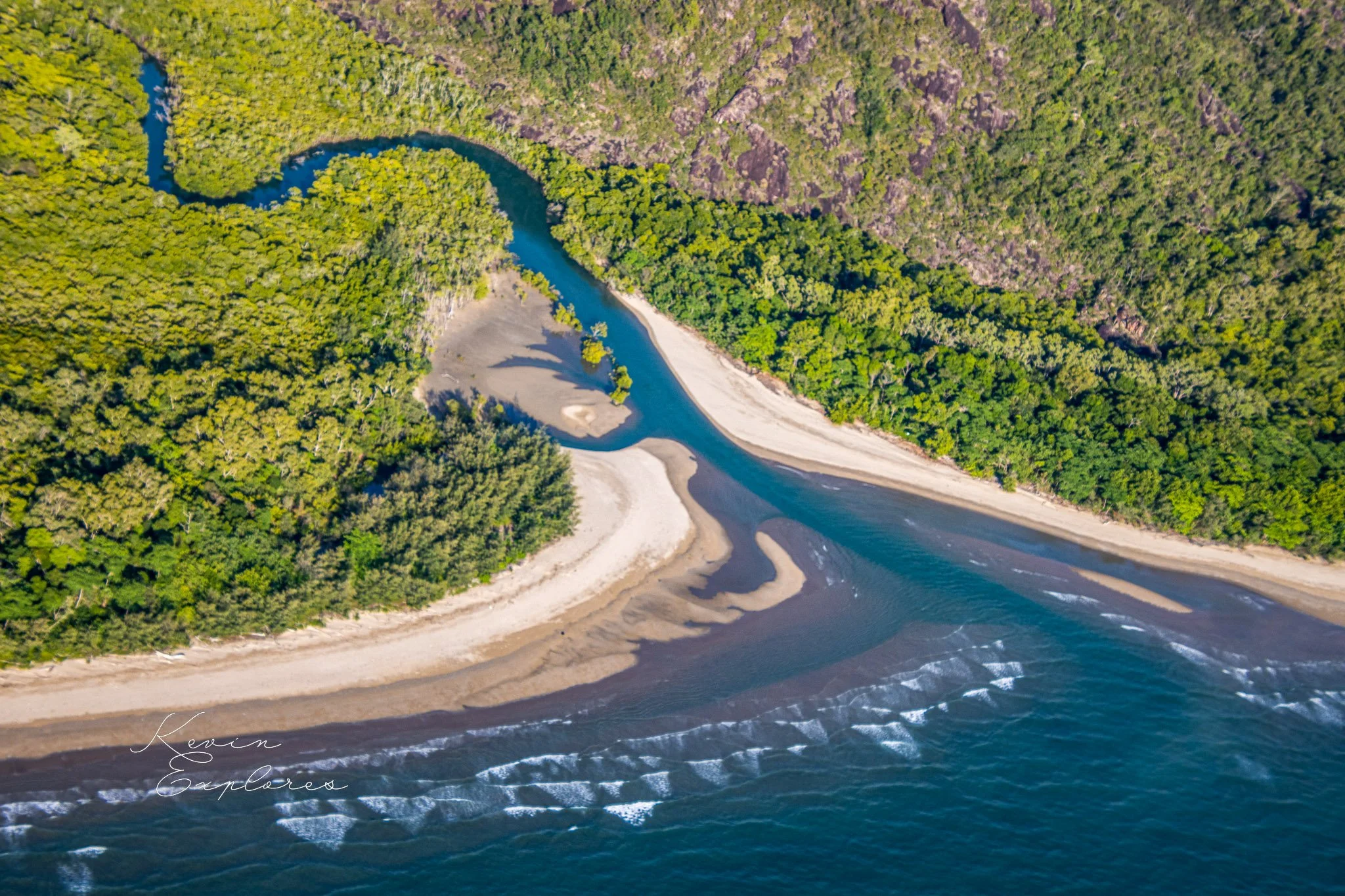
After the rise of sea level at the end of the last lce Age about 7400 years ago, a sand spit gradually grew northwards from Nina Peak to link the then island of Cape Sandwich-Cape Richards. Winds blew some of this sand into small dunes which migrated inland. The height of this sand spit has led to suggestions that it records a slightly higher sea level than that at present. Once established, it allowed the quiet embayment of Missionary Bay to form behind, and to collect fine mud which promoted an extensive growth of mangroves.
Per Warwick Willmott, Rocks and Landscapes of the National Parks of North Queensland, Geological Society of Australia, 2009
