Eubenangee Swamp near Innisfail
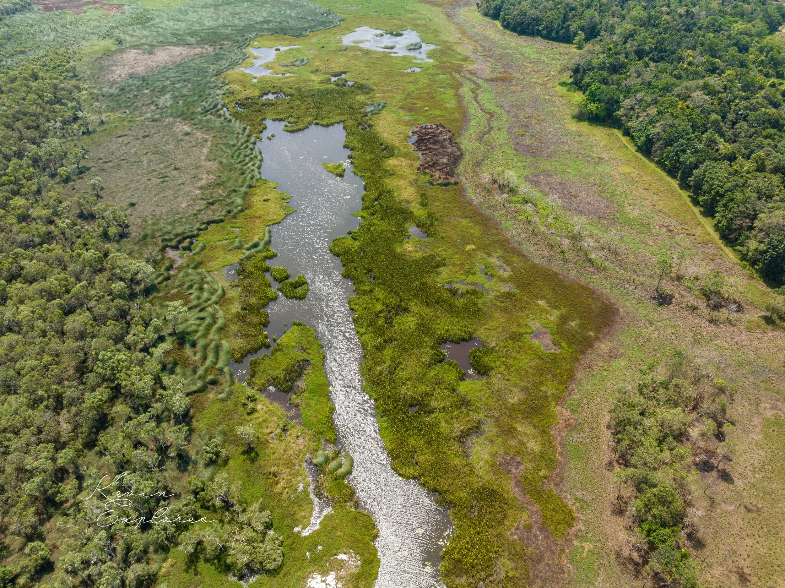


Situated in the lowlands east of the Bellenden Ker Range (the wettest part of Australia), much of this park is flooded during the wet season. A short gravel and grass walking track takes visitors through rainforest and to the top of a grassy hill. Bartle Frere and Bellenden Ker, Queensland’s two highest peaks, are in view as well as the swamp and its many waterbirds.
Eubenangee Swamp is of international significance—it is reputed to be the last remaining association of specific ecological communities (vine forest, grassland, sedge and paperbark swamp forest) occurring on nutrient-rich basaltic alluvium.
Per QPWS website
While no basalt lavas or cones are exposed in this park north of Innisfail, it owes its origin to damming of the local drainage by basalt lavas from a small volcano, the Eubenangee Volcano, to the southeast near Garradunga. This is now expressed as elevated slopes with cultivated red soils The lavas were erupted about 770 000 years ago and they extended northwards down a valley to beneath what is now the northwestern end of the swamp. Presumably there has not been sufficient time for pronounced drainage lines to be established, so a swampy area has developed on top of some of the lavas. More recently the build up of banks of alluvium (levees) along the Russell River may have contributed to restricting the drainage. The swamp is now one of the most important wetlands between Ingham and Cairns, supporting great birdlife and rare lowland rainforest. The park is reached from Miriwinni along the Bramston Beach Road and then Cartwright Road. A walking track leads from the car park to a grassy knob overlooking the swamp. The knob is not of basalt, but of weathered granite of Ordovician age from the old underlying rocks of the Barnard Province (Chapter 3).
Per Warwick Willmott, Rocks and Landscapes of the National Parks of North Queensland.