Einasleigh and Copperfield Gorge


This quite young gorge has been scoured out on the doorstep of Einasleigh as a consequence of events triggered 260 000 years ago far away to the south.
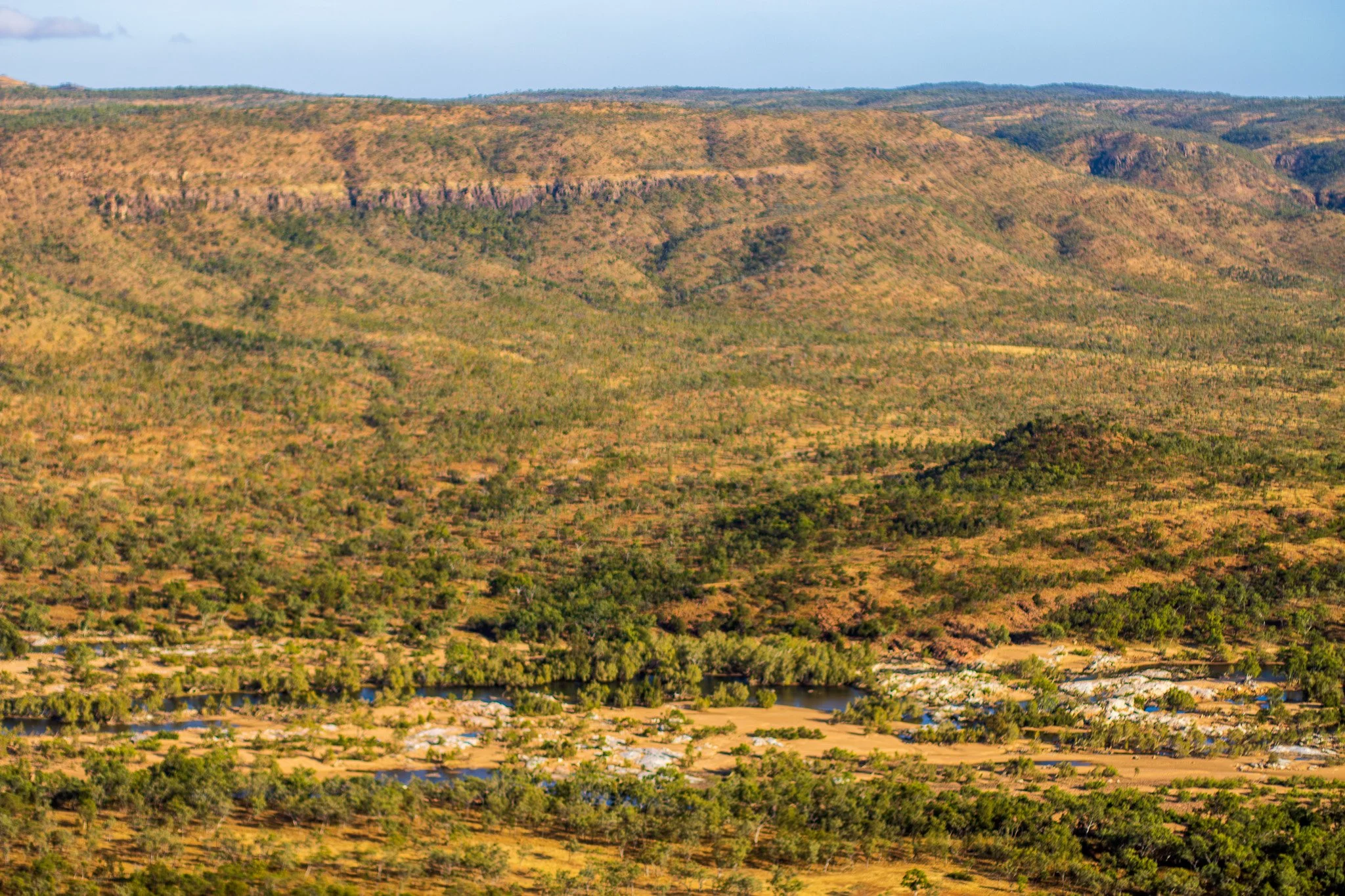
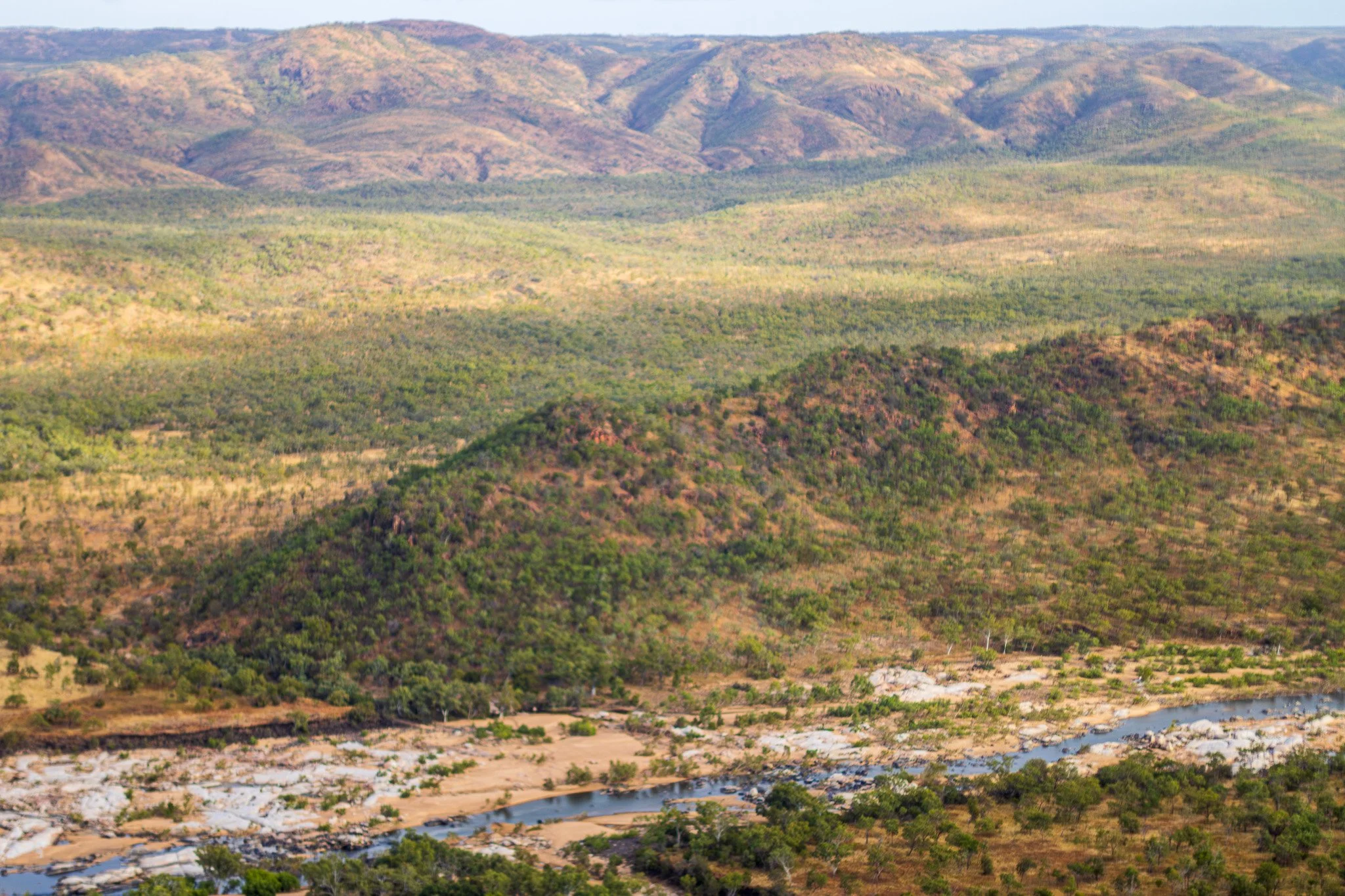
At that time voluminous lava flows were erupted from Barkers Crater east of Blackbraes National Park, to flow down the valley of the Einasleigh River and fill its channel. At the present location of Einasleigh the valley broadened, so the basalt spread out to form the flat plain now under the town. The length of these lava flows equals that of the Undara Basalt to the north. In some stretches of the river the flows are obscured by alluvium, but dating those at Barkers Crater and at Einasleigh has given the same age, proving the connection.
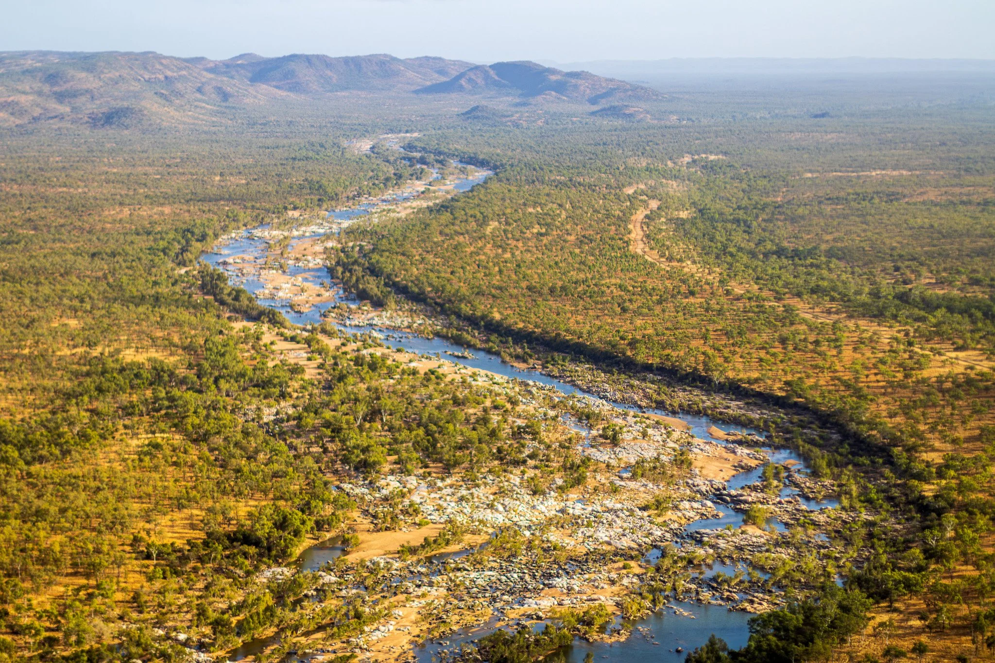
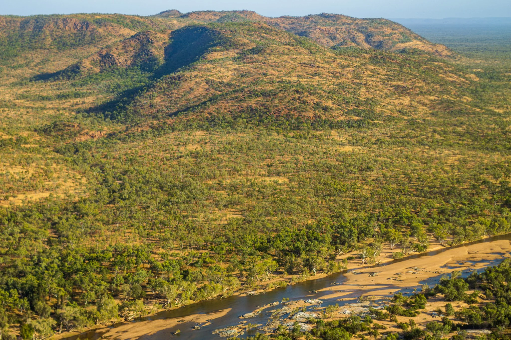
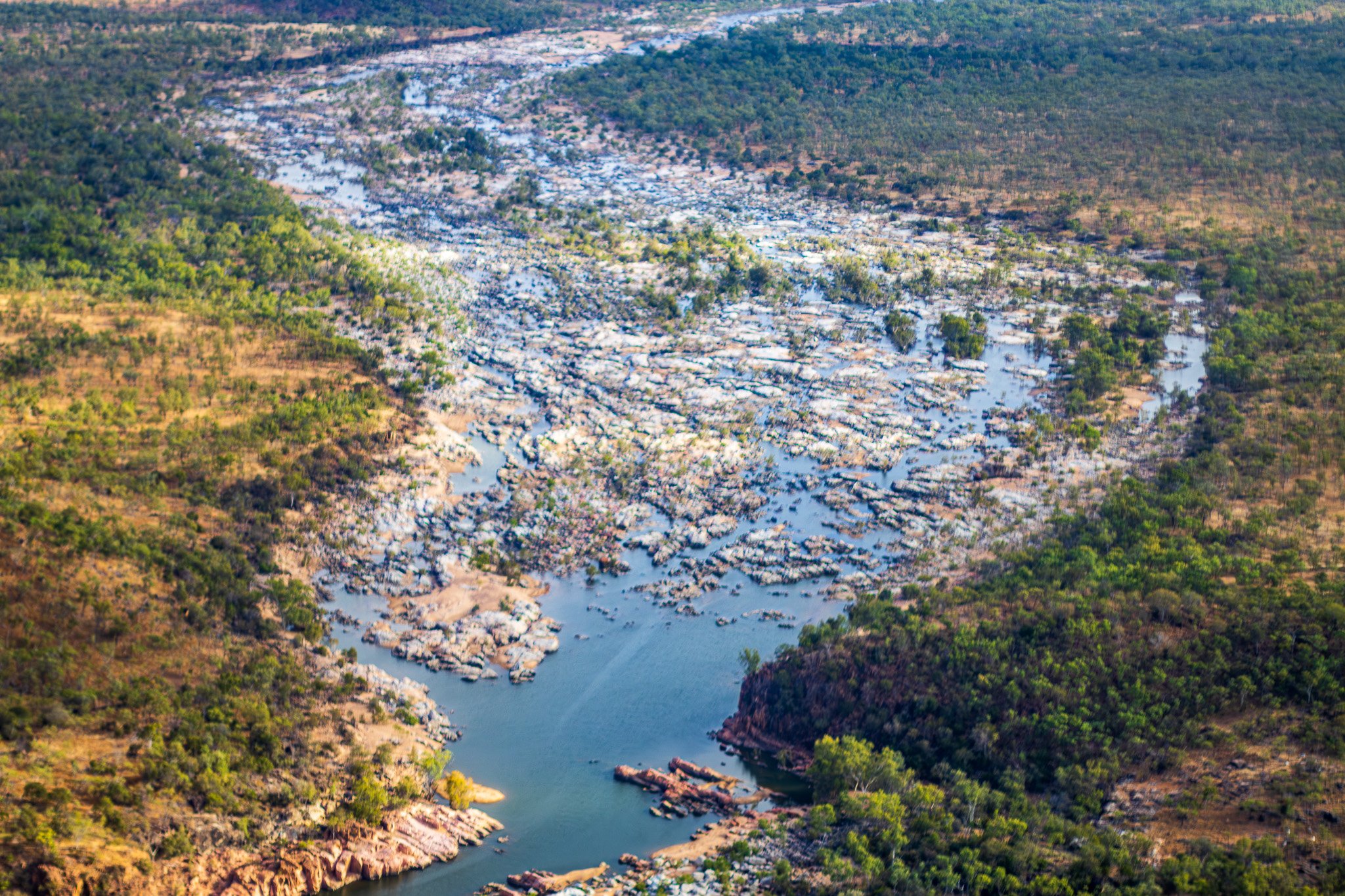
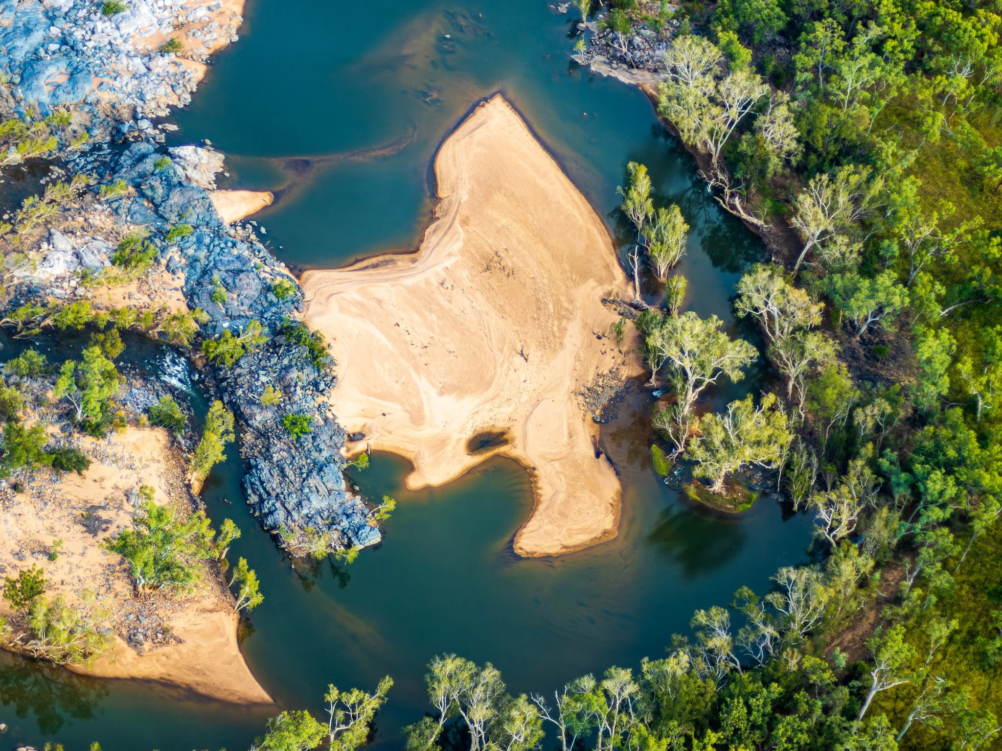
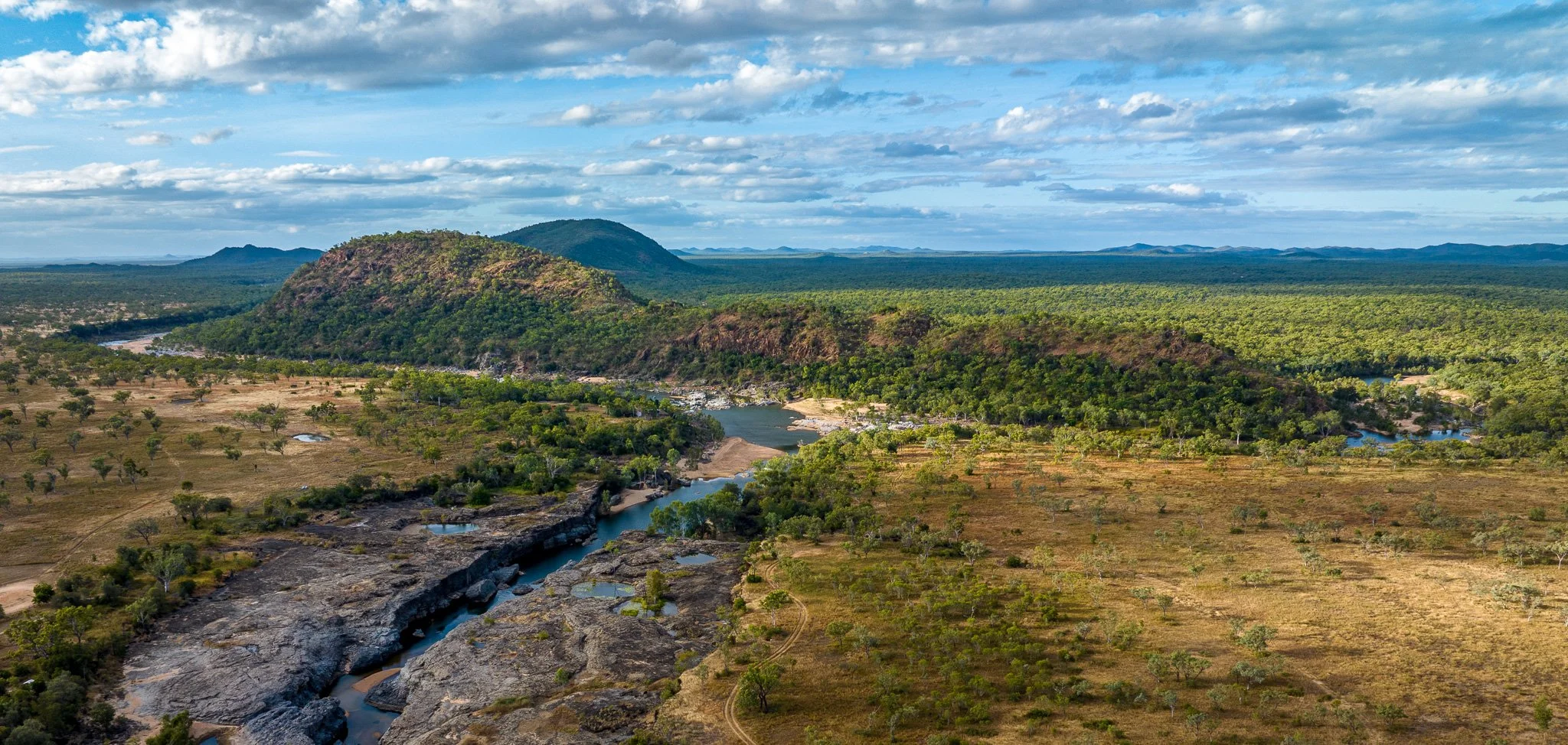
After being flled with basalt, the Einasleigh River had to cut a new channel around Einasleigh. It did so on the eastern edge of the basalt, where it abutted hills of resistant older rocks. However, the smaller Copperfield River was dammed up behind the basalt and had to cross it to join the channel of the Einasleigh River to the east. As that larger river had eroded its channel quickly to a lower level, the Copperfield River had to descend abruptly to join it. It did so in a small waterfall which has gradually retreated upstream to leave a small gorge.
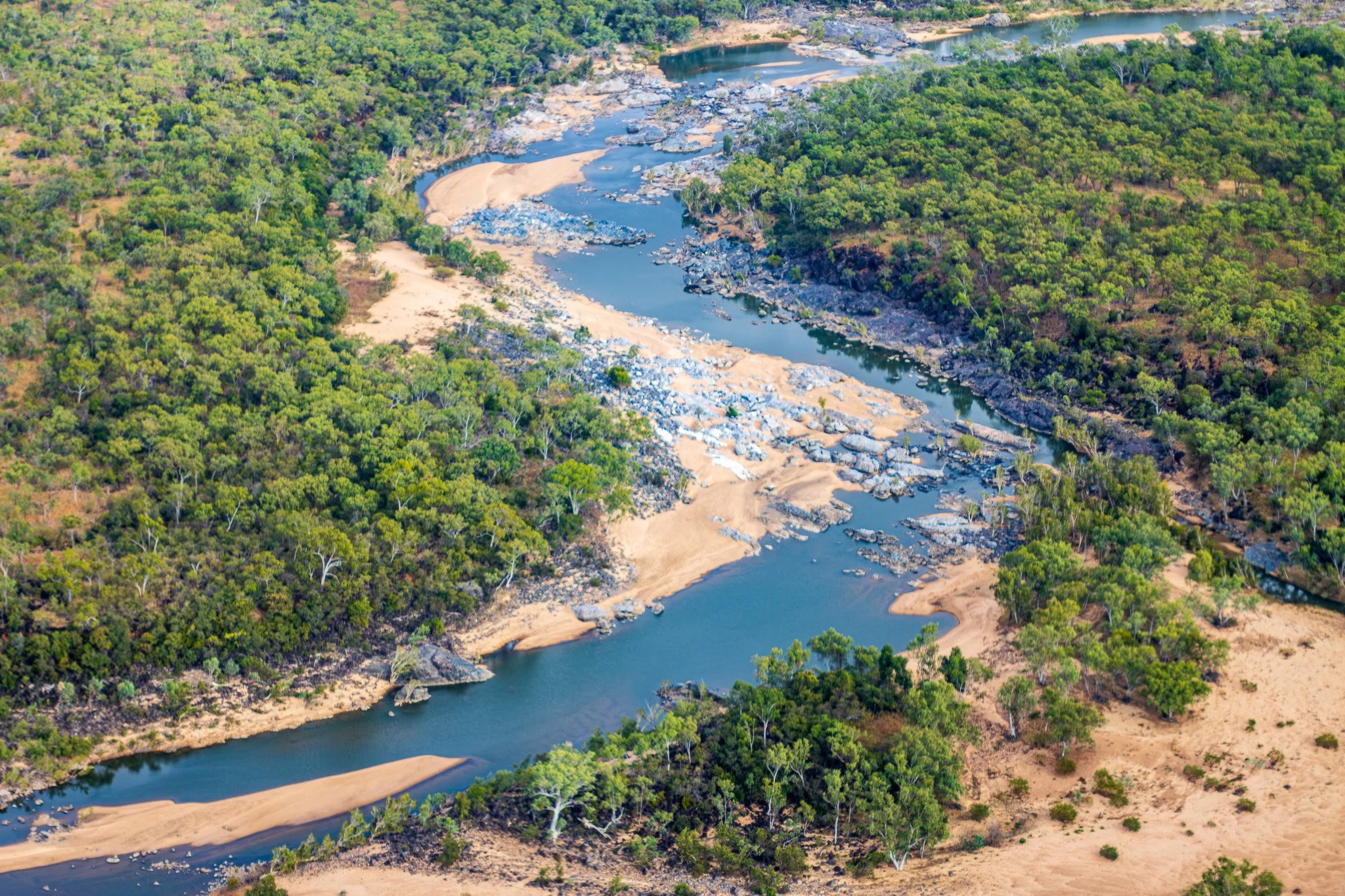
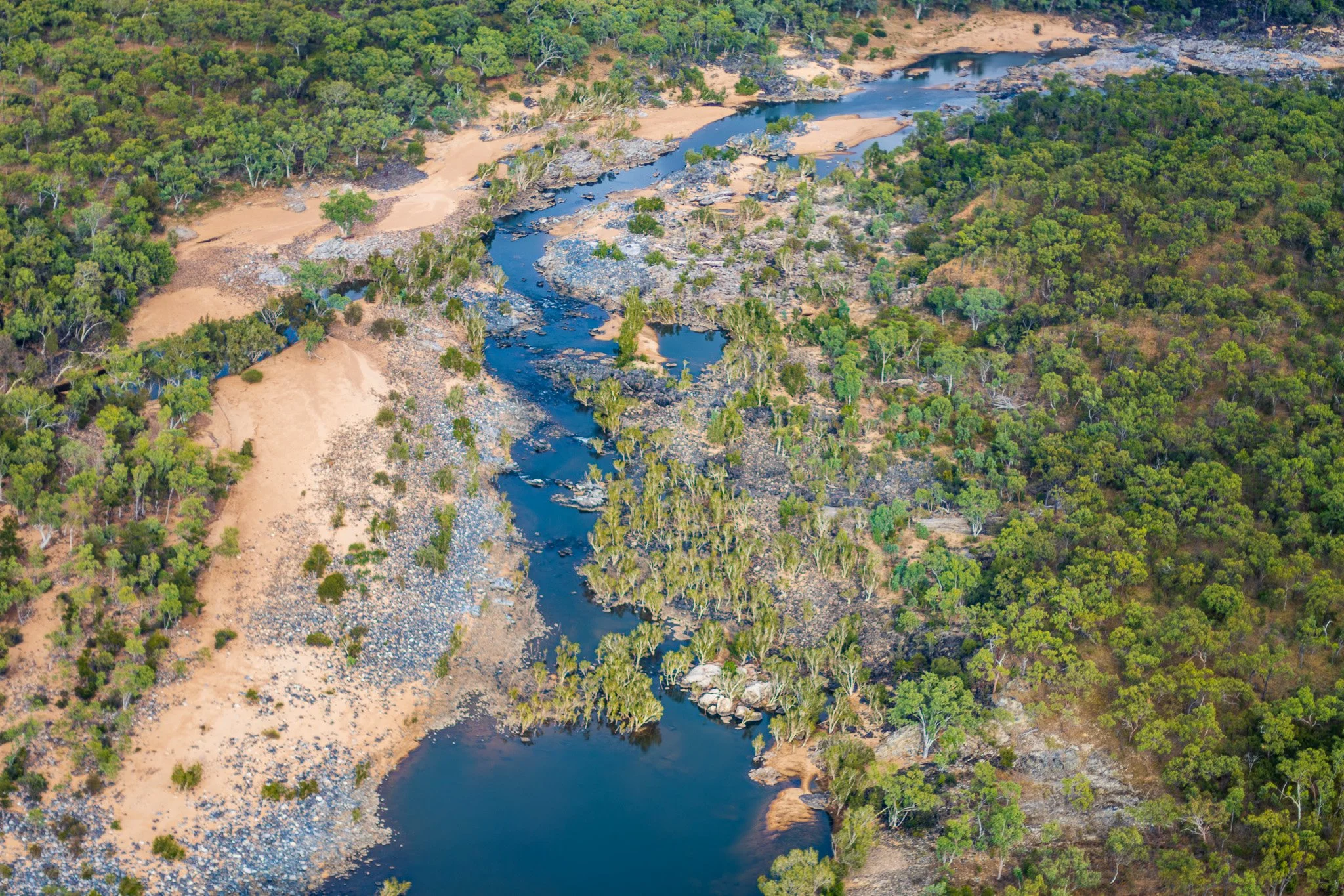
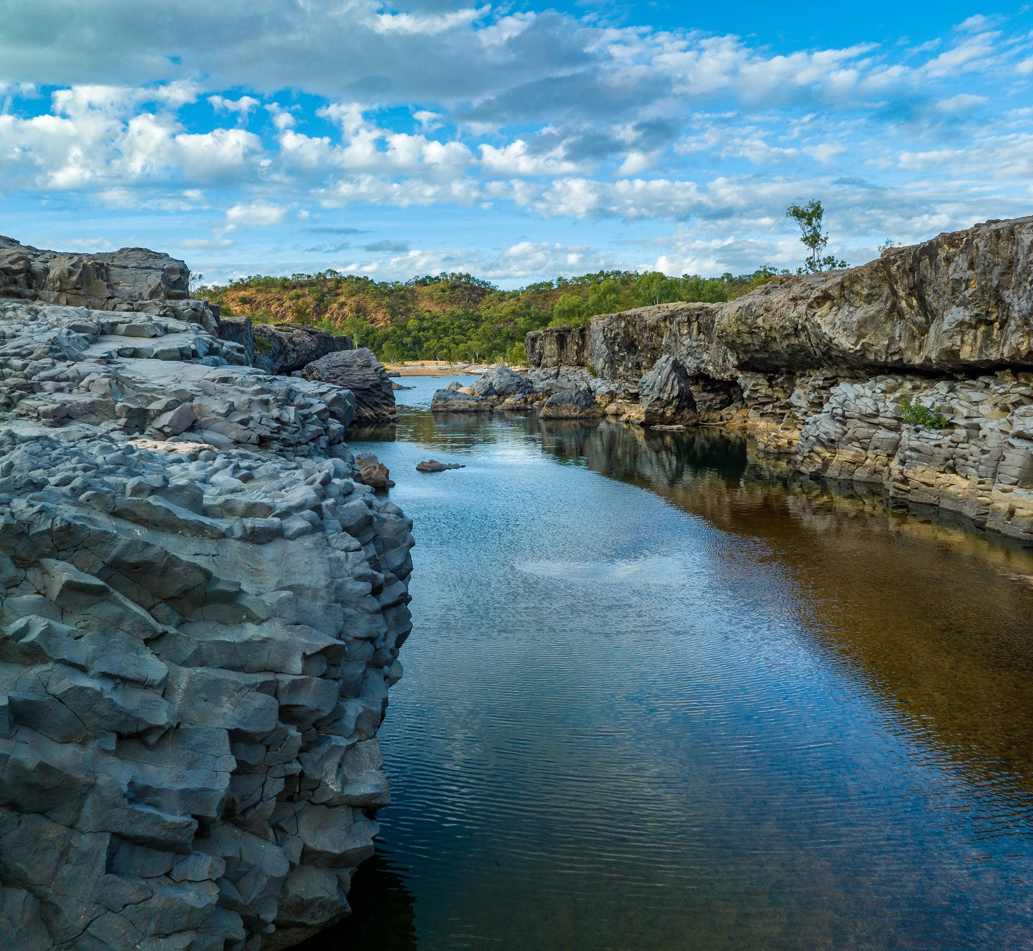
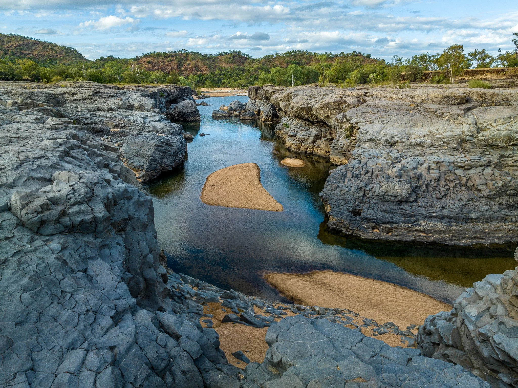
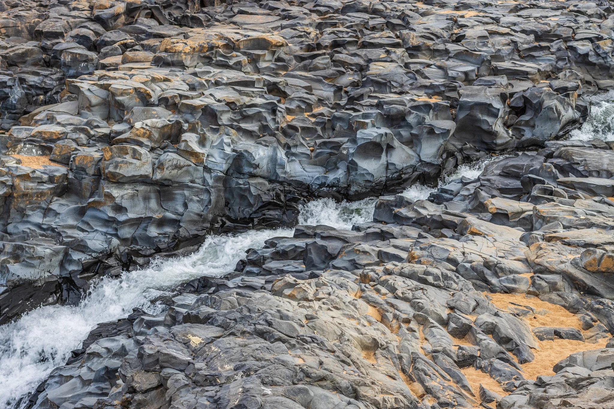
This scenic Copperfield Gorge with its stark grey walls and small waterfalls is popular with visitors, including those travelling on the historic Savannahlander train. A vantage point 200 m downstream of the hotel allows access onto the bare rock slabs of the gorge. A reddish, highly vesicular low (one with many gas bubbles) lies on top of two other grey, less vesicular flows with cooling columns. Sparse gas bubbles in the middle flow are filled with thin skins of zeolite. A cavity in the middle flow near the waterfall may be a small lava cave or tube. It is the middle flow that has been dated to give the age of about 260 000 years.
The junction of the two rivers is just downstream, where their channels have cut down into the underlying ancient rocks of the Einasleigh Metamorphics. These rocks are described separately in Chapter 2. Unfortunately the junction between the metamorphics and the basalt on top of them is not exposed. On the east the Einasleigh River flows up against the hills locally called "The Caterpillar" and "Red Rock" which are part of a large, roughly circular dyke of red, fine-grained microgranite. This Caterpillar Range Ring Dyke was intruded in Carboniferous times as part of the Kennedy Province (see Episode 5, Chapter 1).