Standing on Top of It
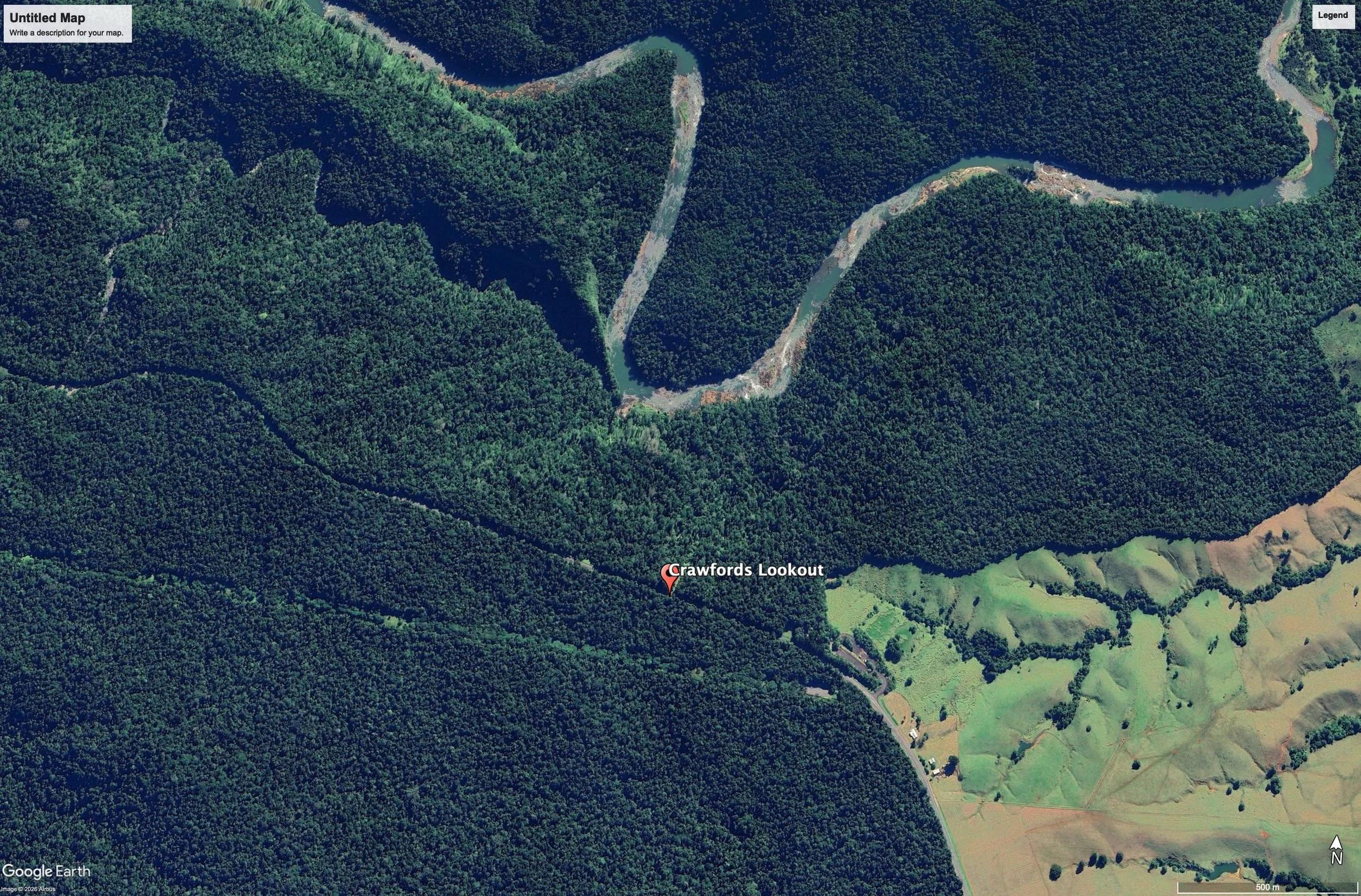
Today at Crawfords Lookout, the Palmerston Highway runs within a few hundred metres of where Douglas Creek joins the North Johnstone River. The geology beneath this stretch of road is Atherton Basalt — lava from the Malanda Volcano, which three million years ago poured down the ancient Johnstone valley and buried it under a flow up to 300 metres thick. The river was forced to cut a new channel around the edge of that flow. The highway now follows its flat crown down to the coast. To drive this road is to travel the length of an ancient river of stone.
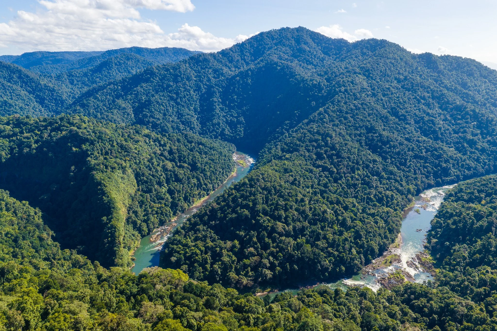
None of that is visible from the lookout. The gorge below presents itself simply as forest: a green wall folding down to a thread of water, the basalt implied but unseen, buried beneath canopy and its own scale.
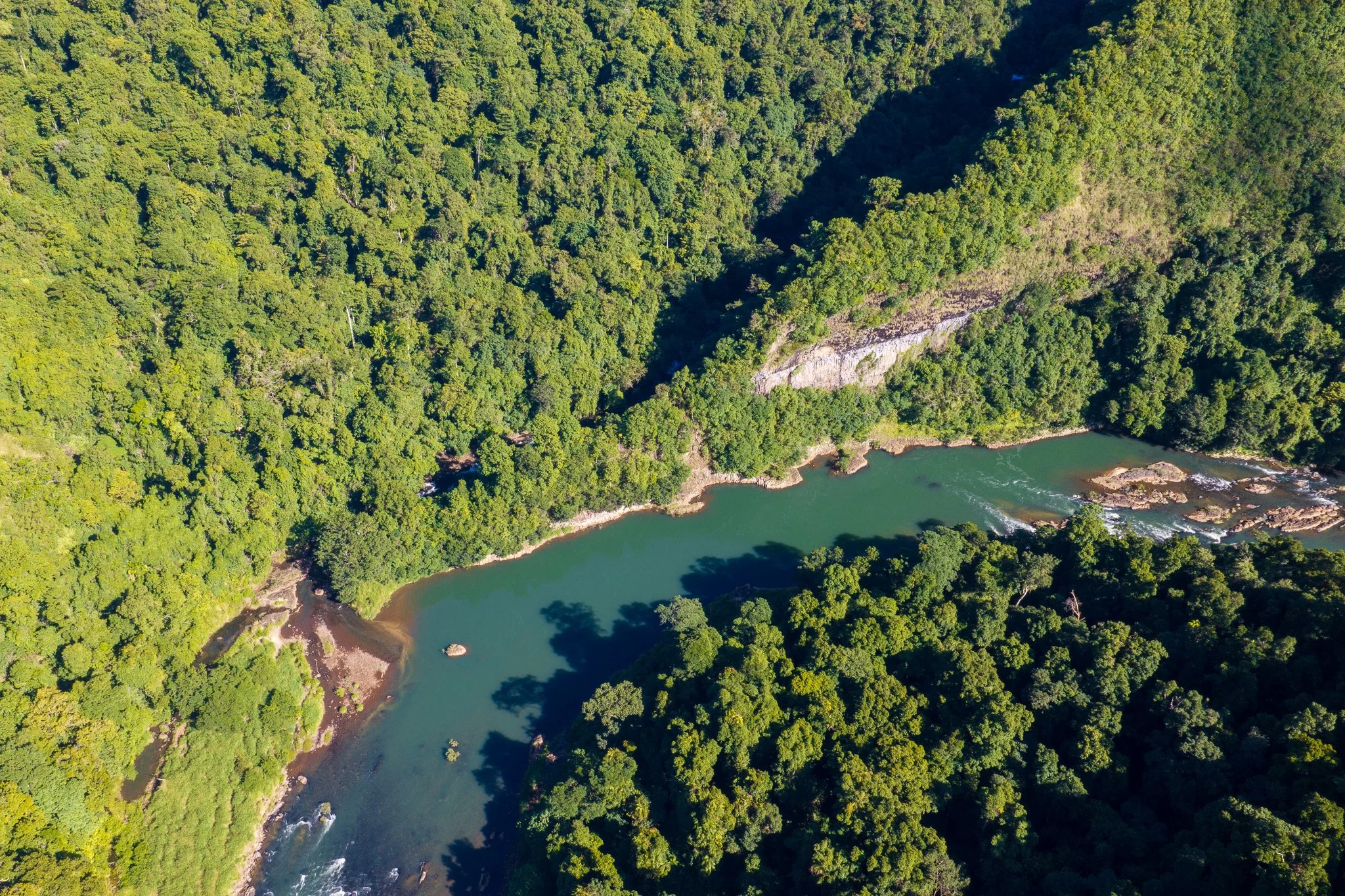
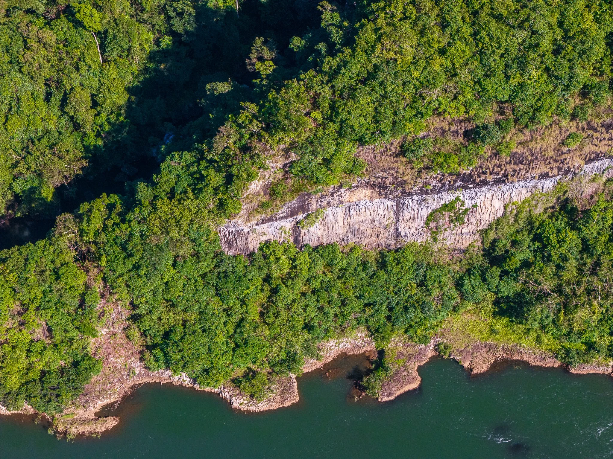
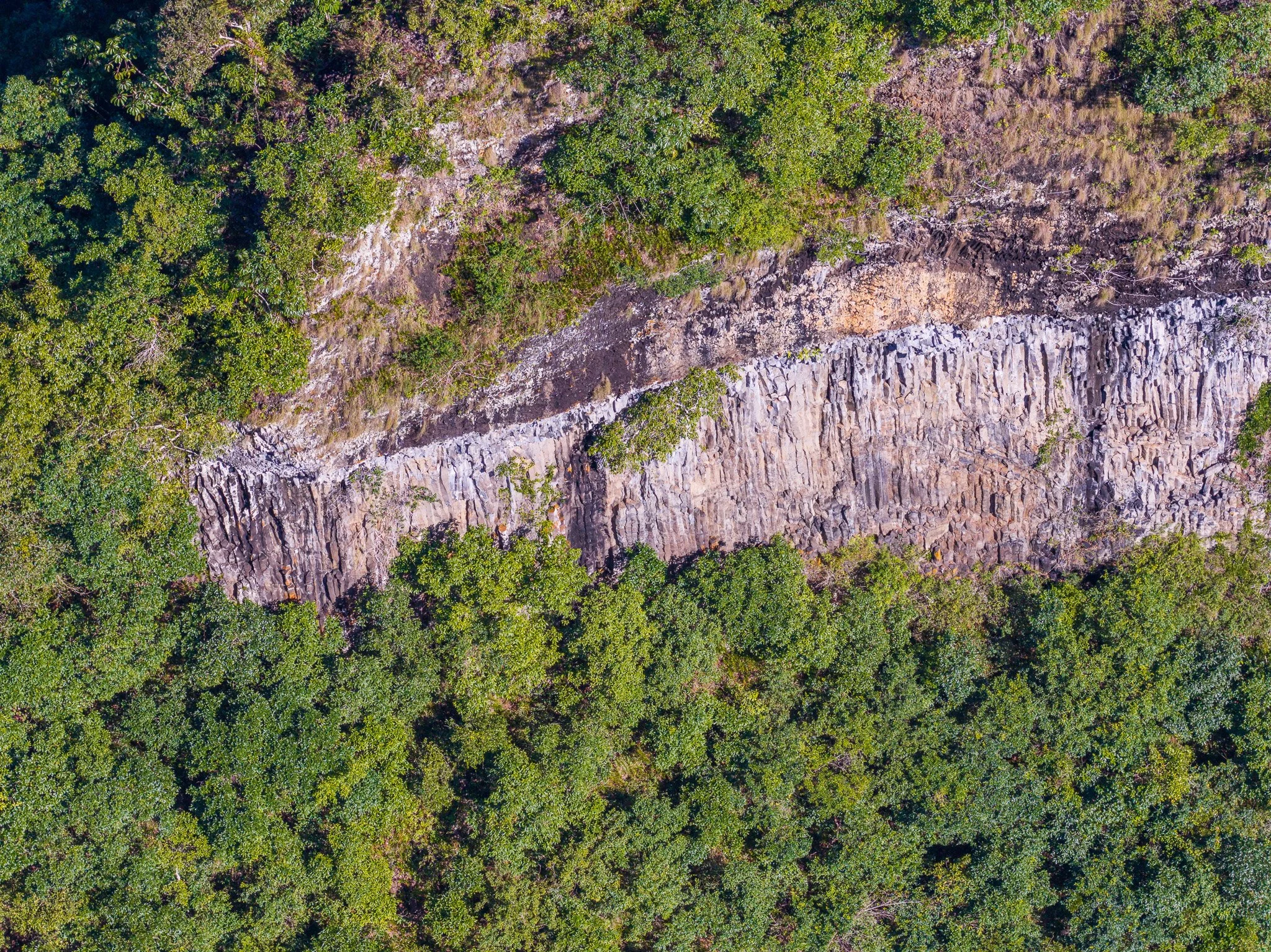
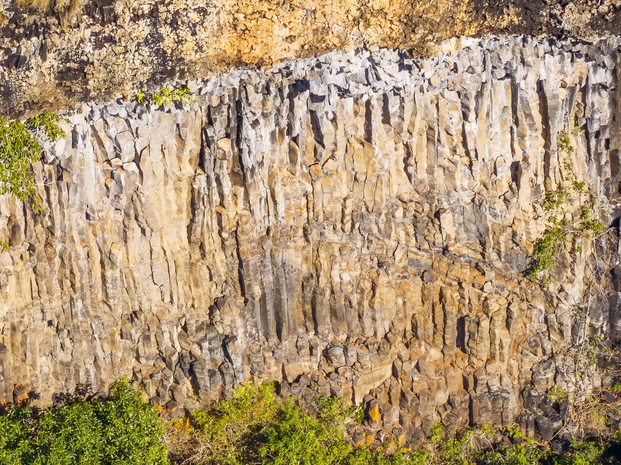
A drone launched from the lookout and flown down toward the junction of the creek and the river found what the ground could not show. Cut into the hillside above the confluence is a clean band of columnar basalt — dozens of hexagonal columns standing in close formation, a weathered pale cap over rock the colour of dark honey, the river running turquoise at its foot. It is the kind of formation that draws travellers across continents. It sat perhaps a few hundred metres from the lookout rail, entirely hidden from anyone standing there.
The columns had been there the whole time, unseen not for any lack of proximity but for lack of a vantage point. A map can name the rock underfoot. A lookout can frame the scale of a gorge. Neither can show what only altitude reveals. It is a small case study in how easily the spectacular hides in plain sight — folded into a hillside, a few hundred metres and one change of perspective away from anyone who happens to be standing nearby.