Dinden Barron Falls Gorge National Park
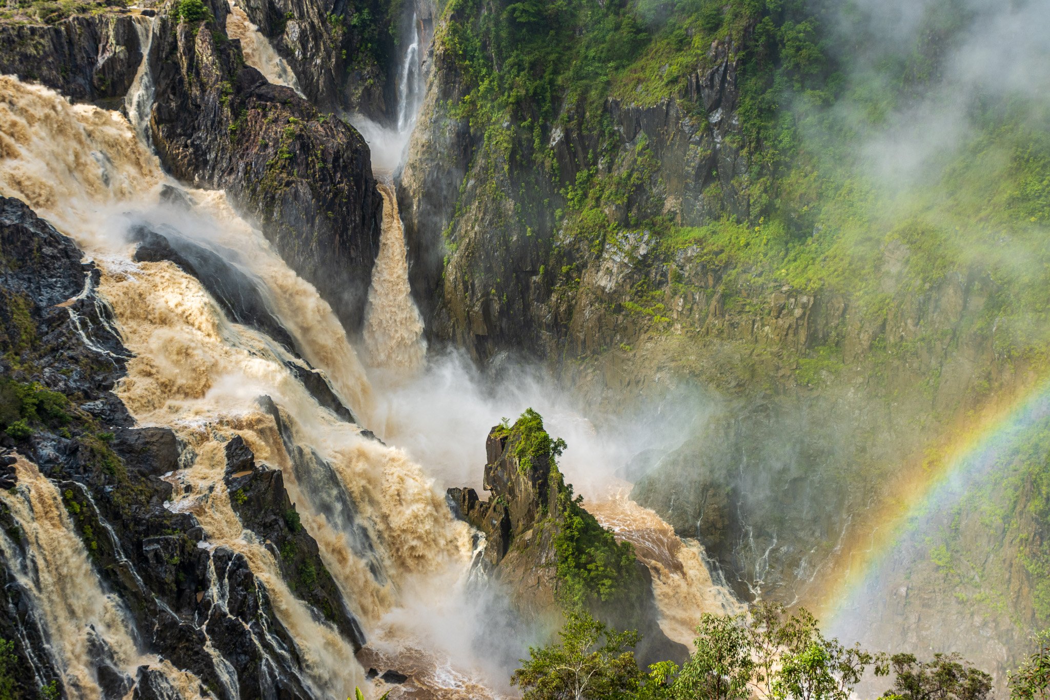
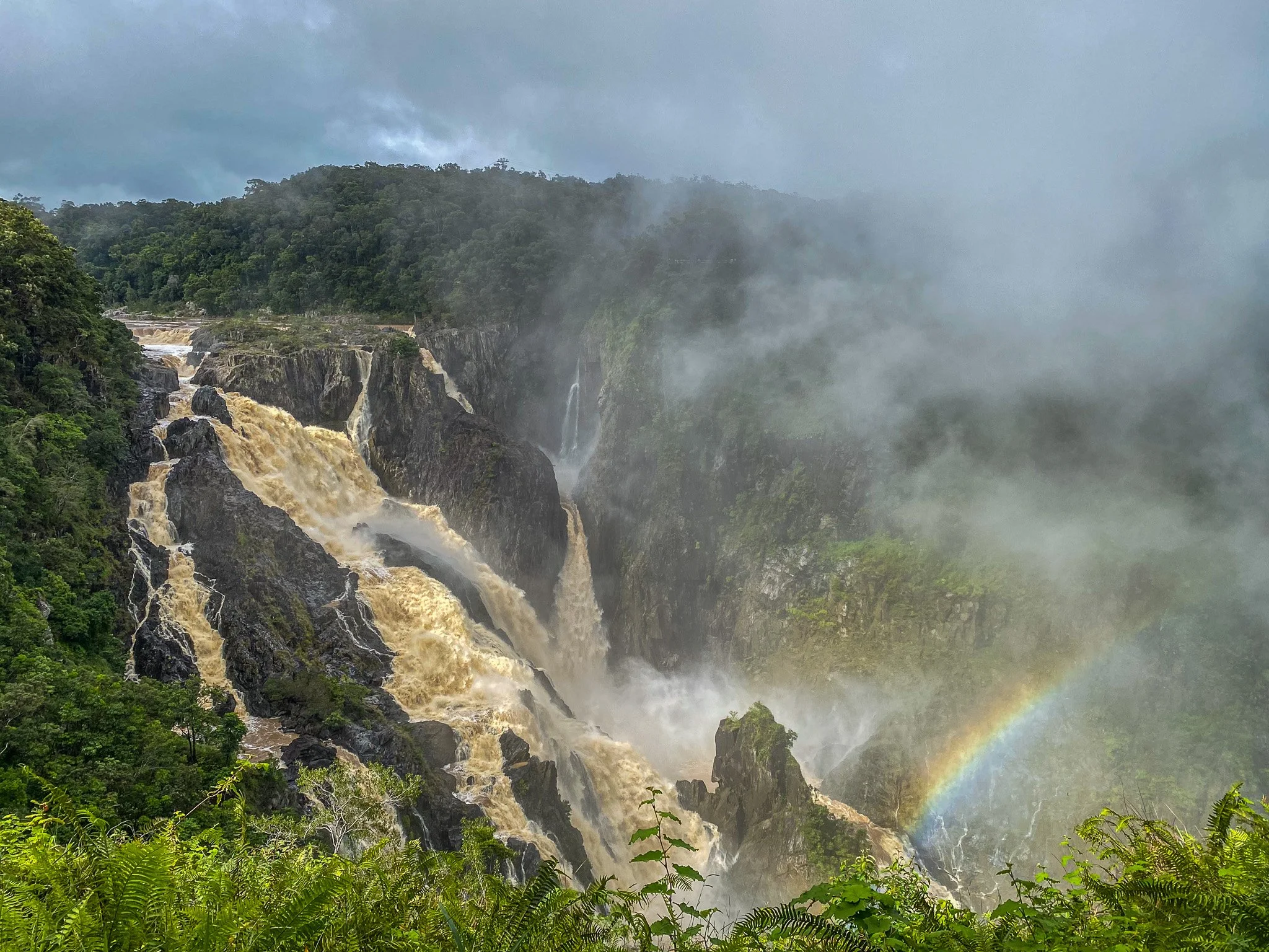
The Barron Falls in full fury during the wet season in February 2023


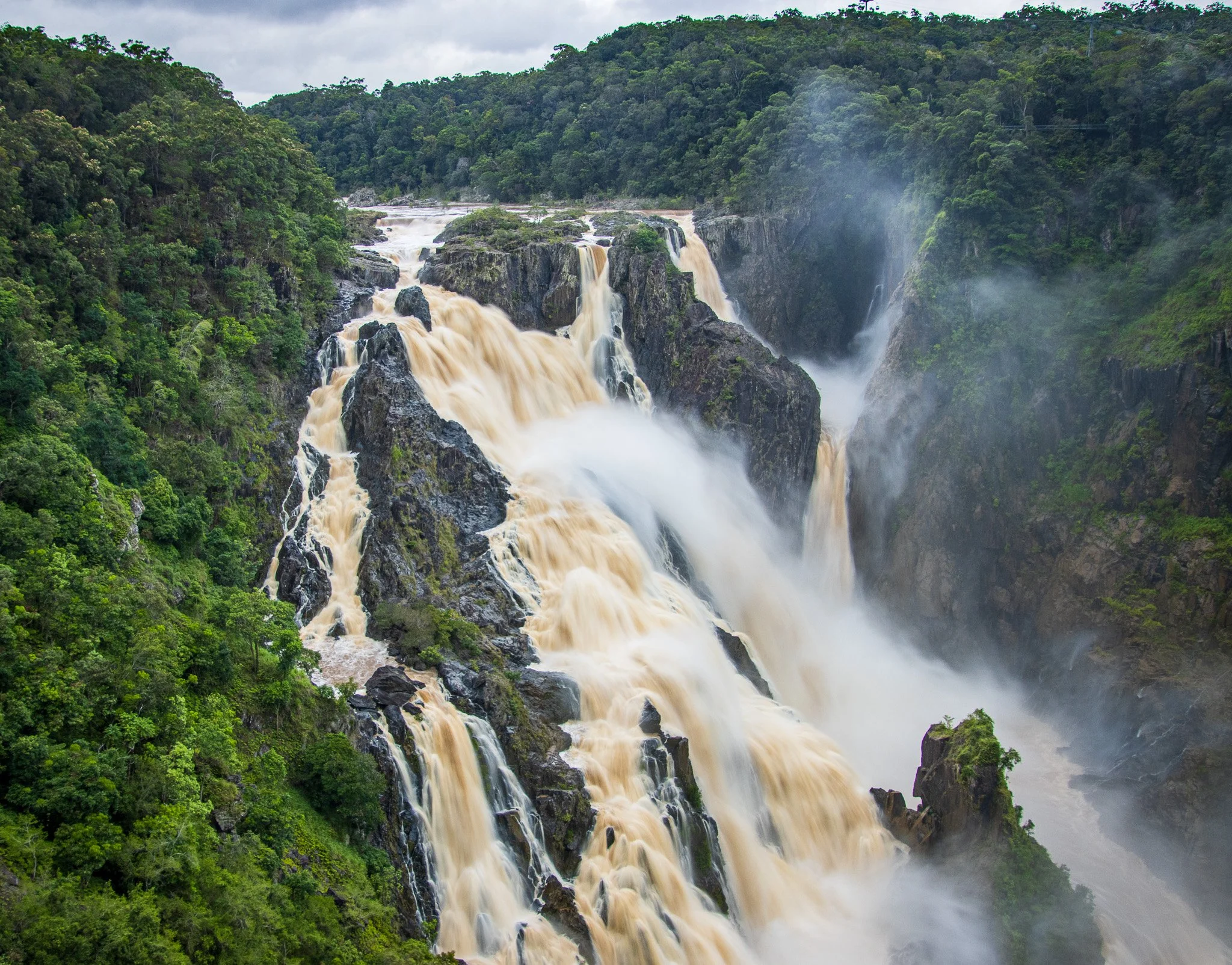
Less than full flood - a different but equally beautiful scene


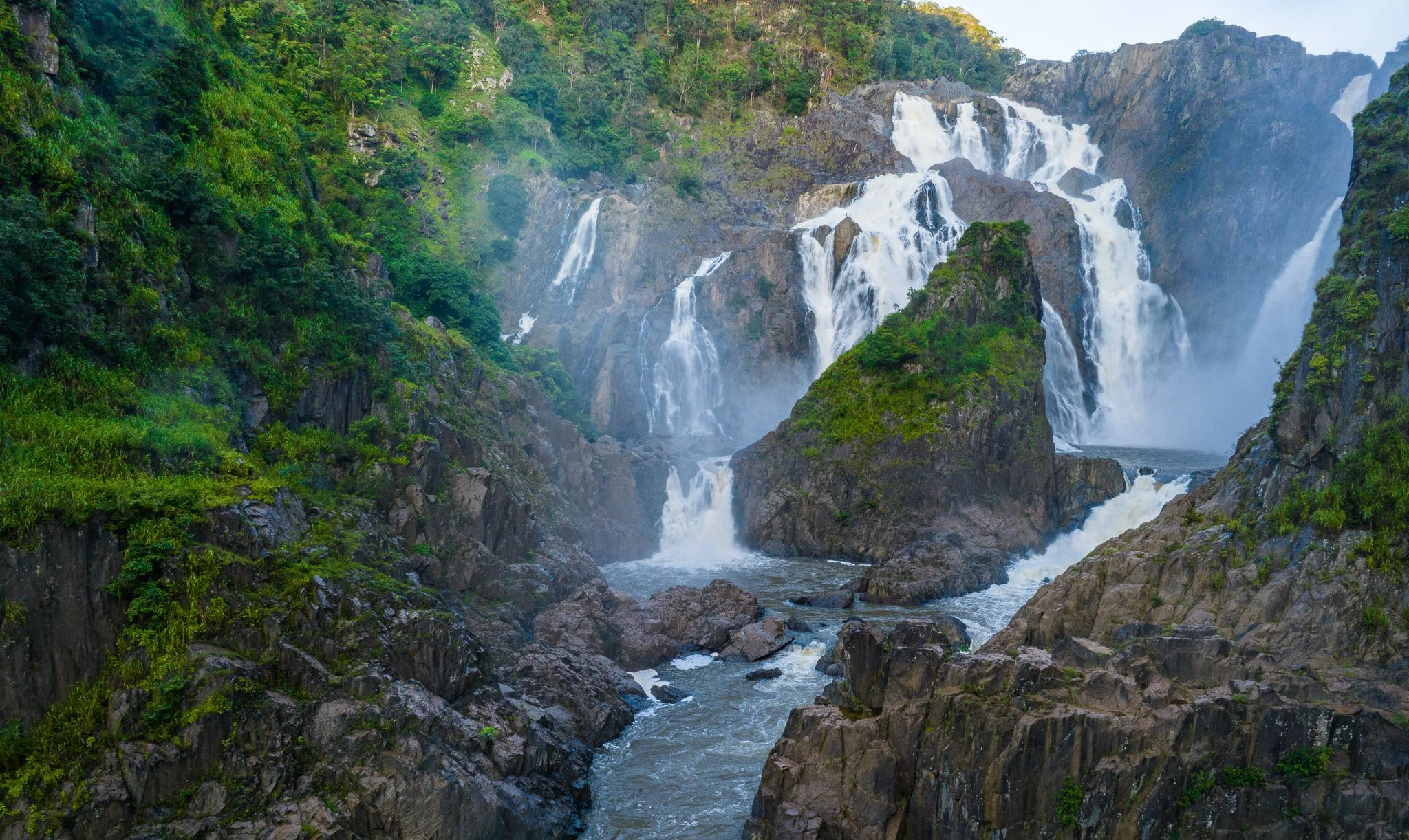


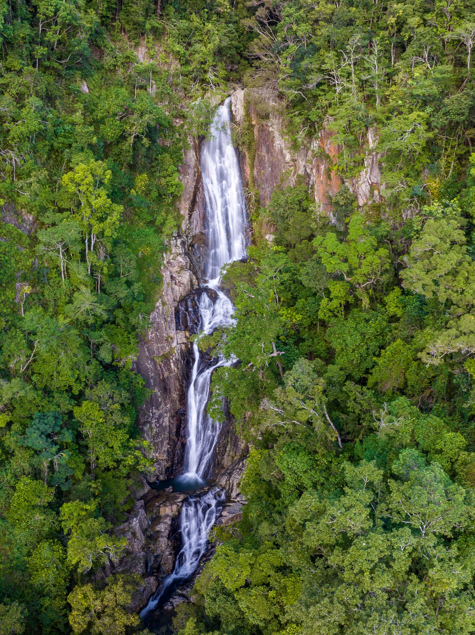
Below the falls, there are many creeks and streams that flow into the Barron River as it continues through the valley to the sea.


Barron Falls in Flood.
A Geological Perspective per Warwick Willmott,
‘Rocks and Landscapes of the National Parks of North Queensland’
Published by Geological Society of Australia, Qld Division.
BARRON GORGE NATIONAL PARK
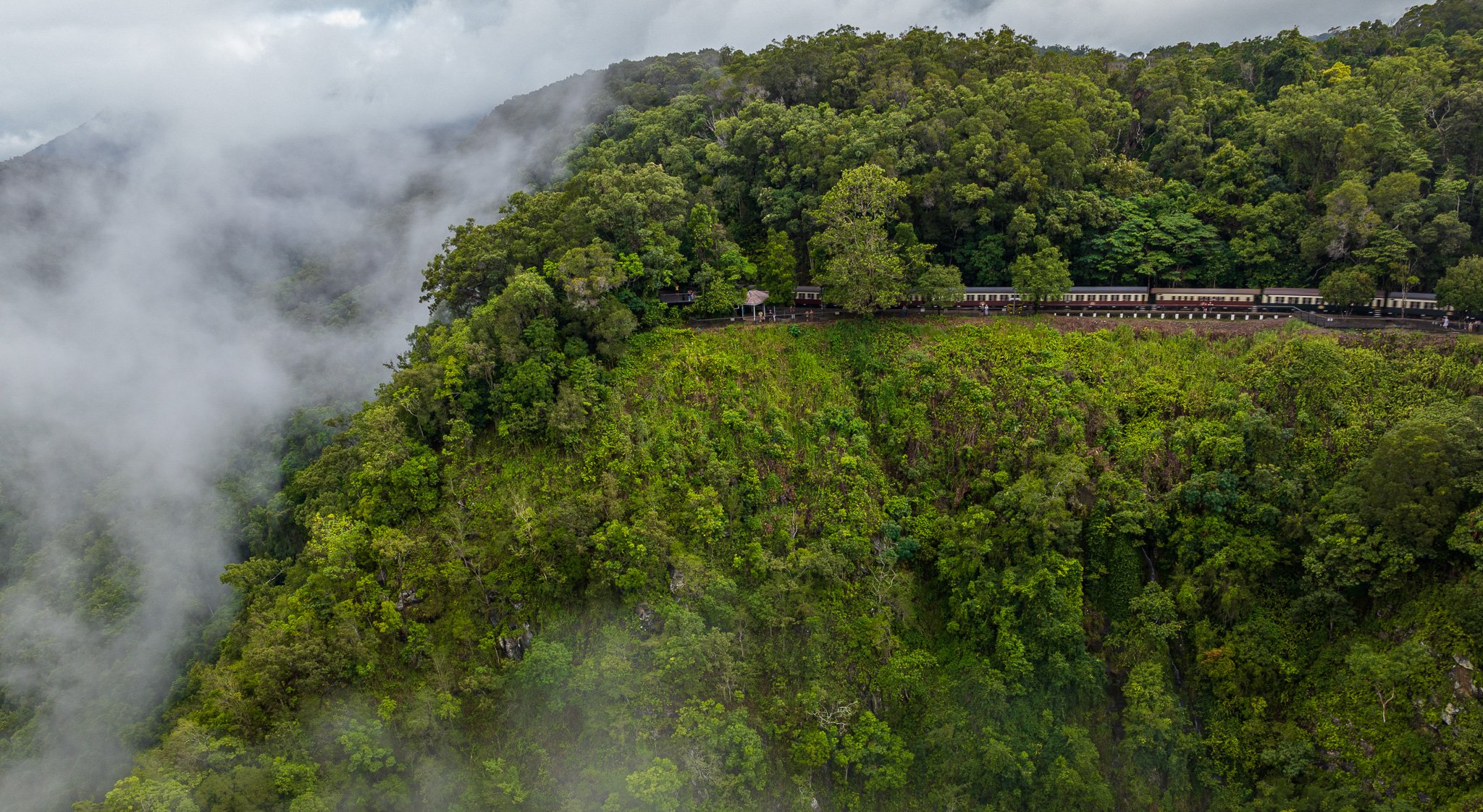
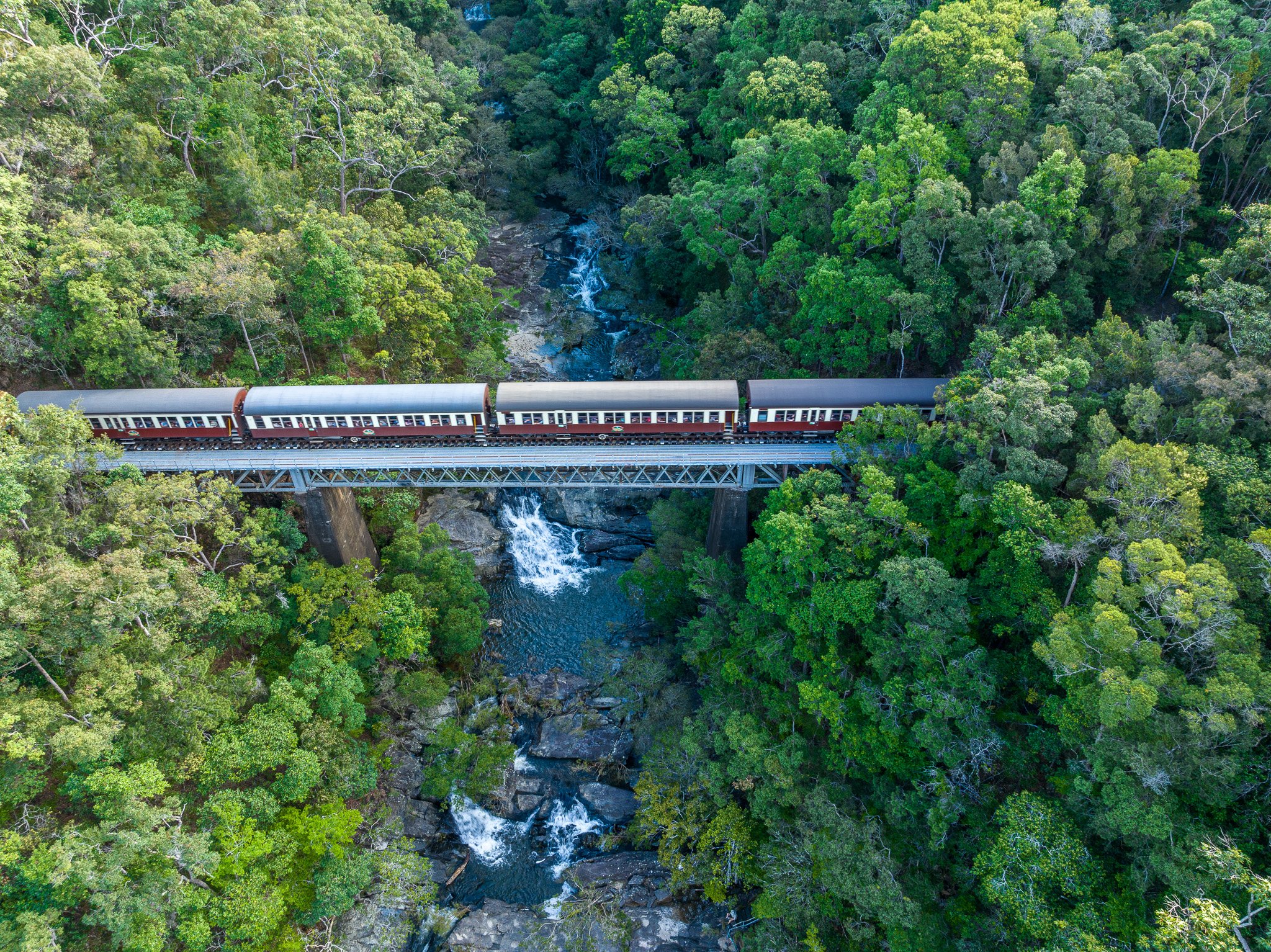
The Great Escarpment is starkly obvious in this heavily visited park on the outskirts of Cairns. The Kuranda scenic railway winds around its eastern slopes, the Skyrail Cableway soars above its steep rainforested edge, people peer from lookouts at the Barron Falls, rafters shoot rapids in the floor of the Barron River Gorge, and hikers explore historic tracks from the lowlands to behind Kuranda.
The Barron River has carved a gorge into the escarpment for about 8 km inland from Kamerunga, with the Barron Falls gradually retreating into the tableland behind. It was once thought that the gorge was deepened and advanced more quickly by the capture of the former headwaters of the Mitchell River, on the northern side of the Atherton Tableland. …..
The escarpment and gorge are carved in meta-sediments of the Hodgkinson Formation, whose origin and nature are described on pages 49-50. Such meta-sediments are primarily argillite (hardened mudstone) and greywacke (hardened dirty sandstone), but in this park examples of two other types, quartzite (hardened chert bands) and greenstone (recrystallised basalt) are prominent. The dramatic Glacier Rock and Red Bluff above the railway are of quartzite and greenstone respectively.
In a 2014 research paper James Cook University Researchers Peter Whitehead and Paul Nelson concluded:
From an analysis of the present topography and geology, combined with borehole data, aeromagnetic data and on ground surveys, we conclude that prior to 1.79 Ma, the upper tributaries of the present Barron River flowed into the Mitchell River and thence into the Gulf of Carpentaria.
Blockage of drainage channels to the north of Mareeba by the Bones Knob basaltic lava flows resulted in the diversion of the former headwaters of the Mitchell River into the Barron River catchment and the consequent western migration in the location of the Great Divide in this region. The diversion of the former headwaters of the Mitchell River into the Barron River would have produced a significant increase in the discharge of the Barron River, and it is likely that this led to increased rates of erosion downstream, particularly at the knick-point of the Barron Falls. The reduction in discharge into the uppermost catchment of the Mitchell River led to deposition and infilling of this section, immediately northwest of Mareeba. One implication of the findings is that sub-basaltic aquifers may be allowing groundwater flow to cross the Great Divide, rather than mimicking surface drainage.
https://www.researchgate.net/publication/264901396_Displacement_of_the_Great_Divide_in_north_Queensland_associated_with_Neogene_lava_flows